The West Highland Way: map & data
Total climbing: 216 m
Total time: 02:16:17
3 mile walk, 2h15 from 13.00 to 15.15 – average 1.3 mph
It was a wistful Saturday morning.
From the cottage windows, we could see quite a few people going up Beinn Dòrain, the Munro east of the cottage.
Leaving the cottage
In the early afternoon, we went out on foot and headed in the opposite direction, down to Bridge of Orchy, the village.
We crossed the stone bridge and took the West Highland Way northwards. The plan was to walk for a couple of hours.
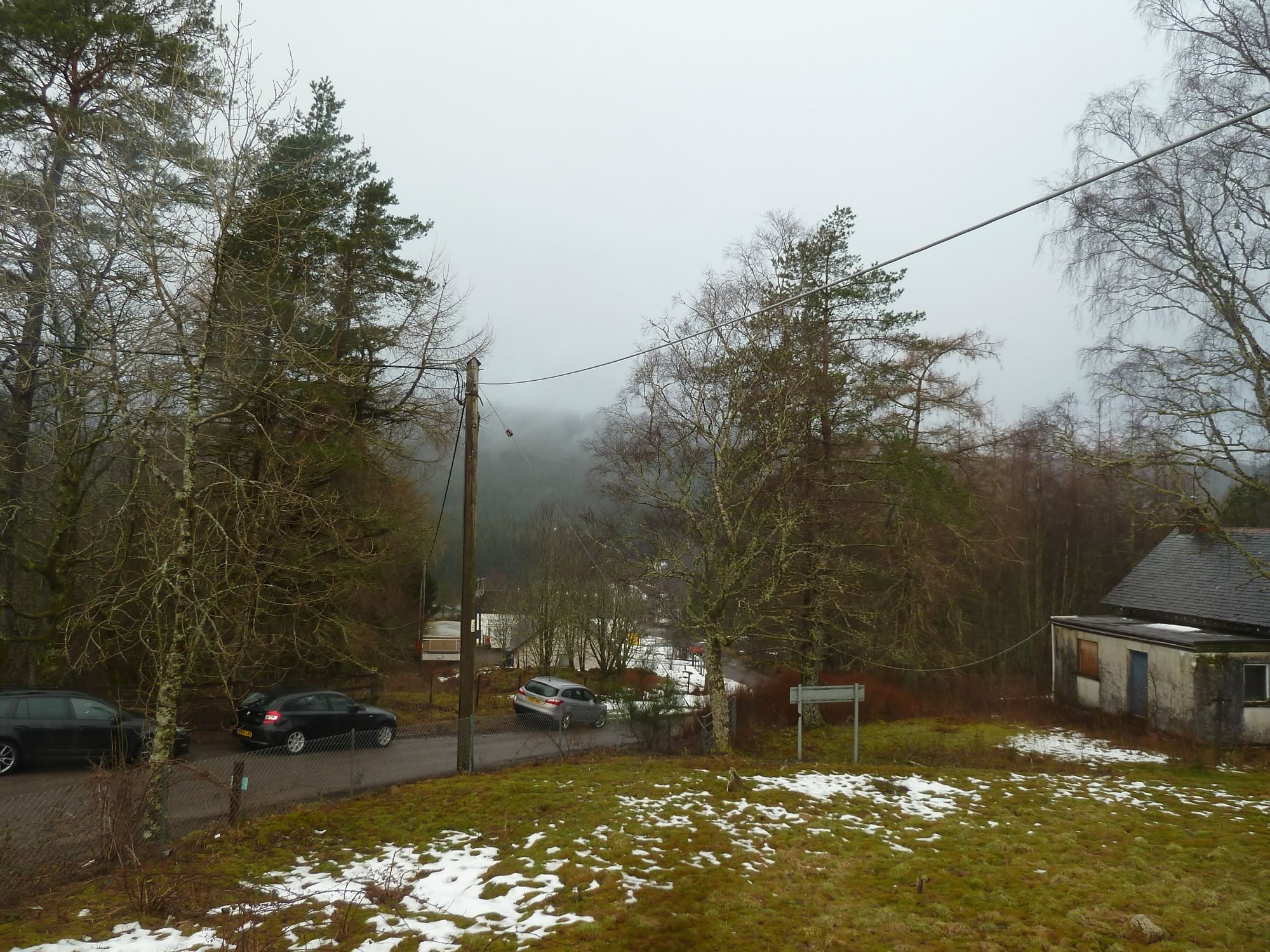
Road down from the cottage, earlier that morning
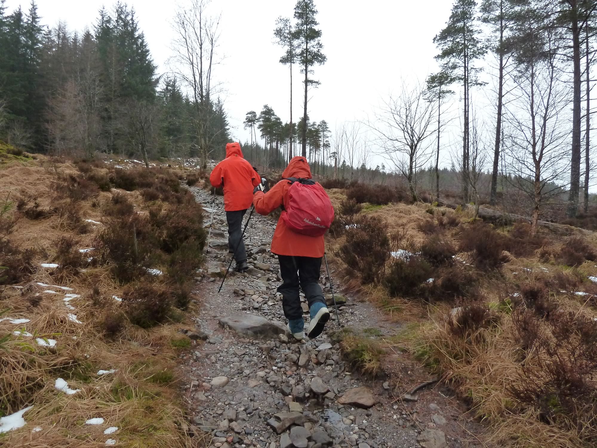
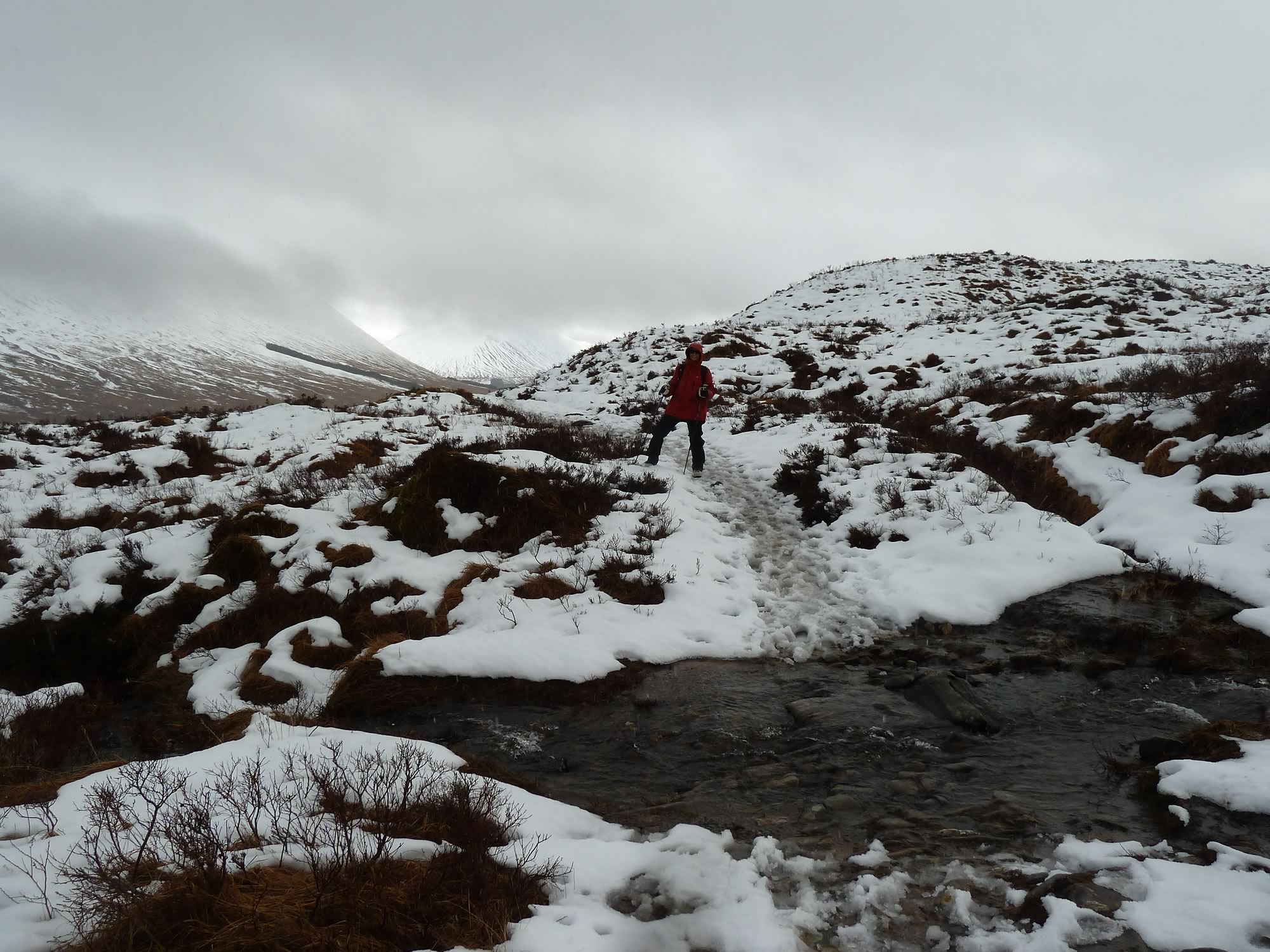
It was raining when we left the cottage just after half past noon. As the forecast predicted, it rained on and off throughout the walk.
At some point we even had hail, and then sleet.
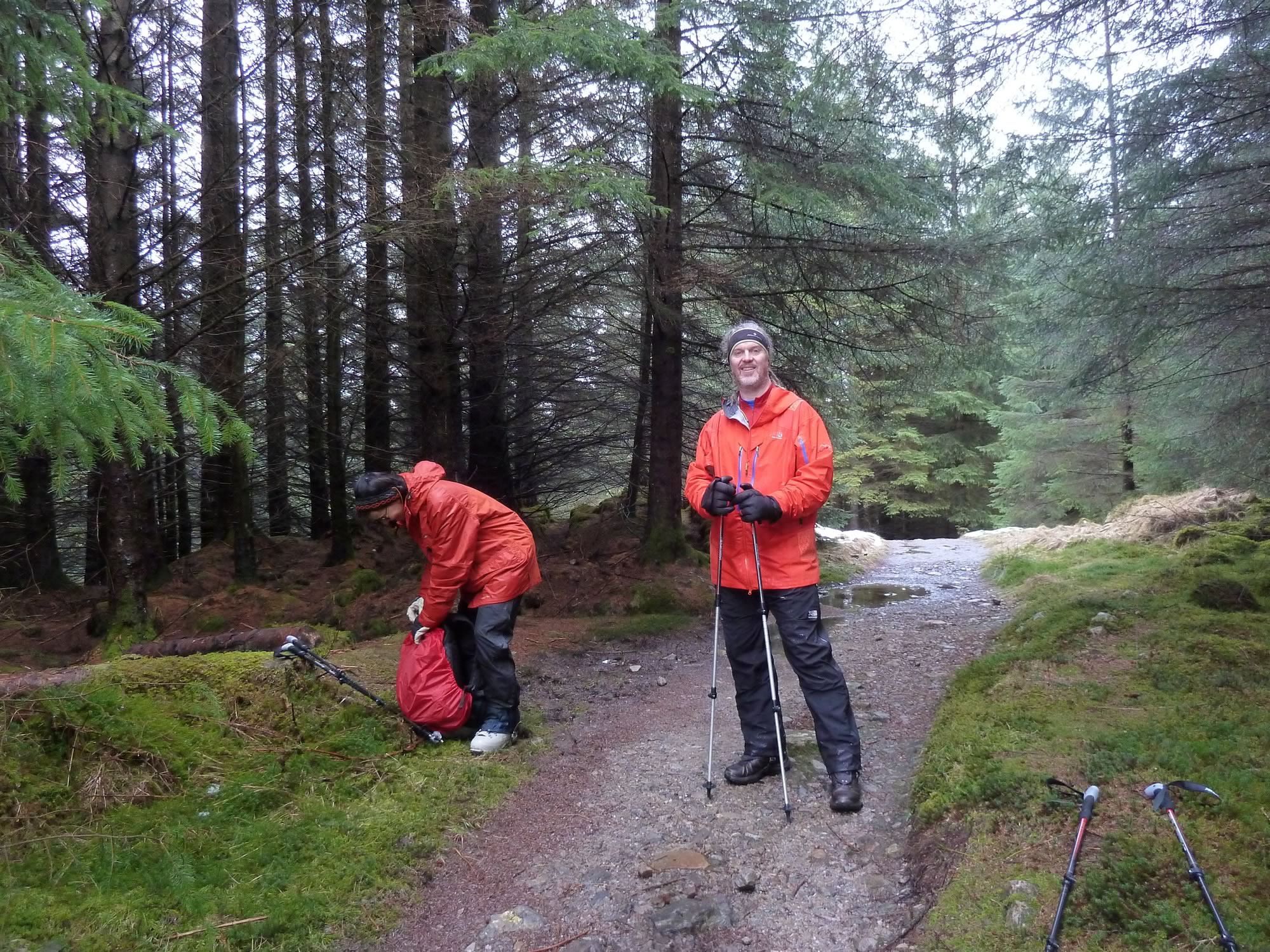
13.03 – Sister and Simon enjoying the rain
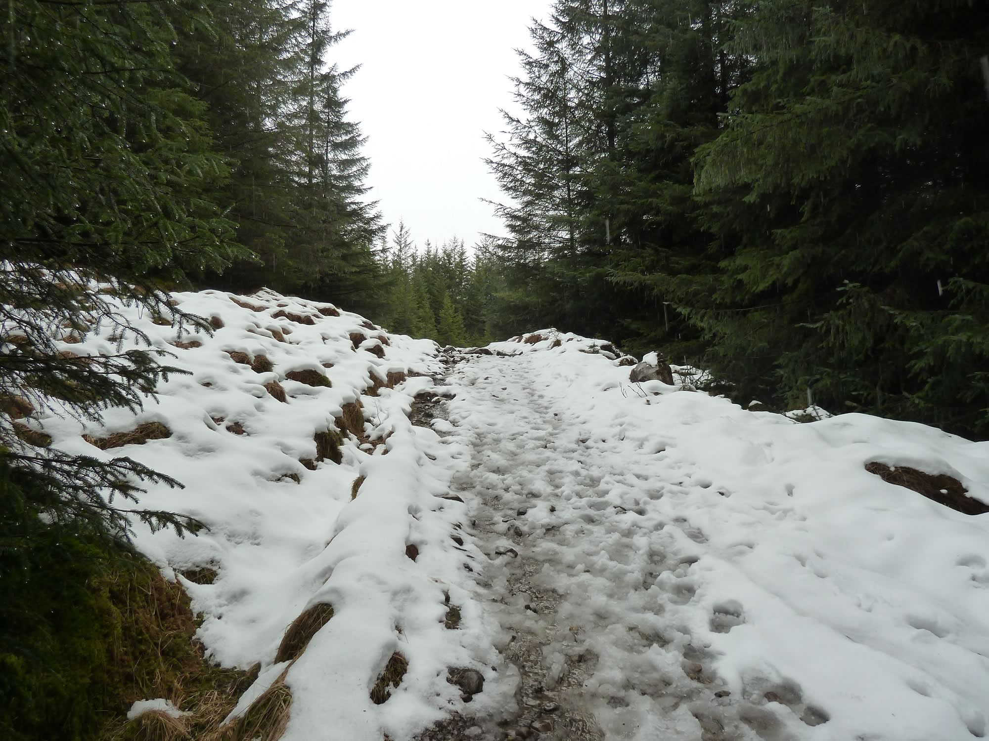
In this short walk, we never left the West Highland Way.
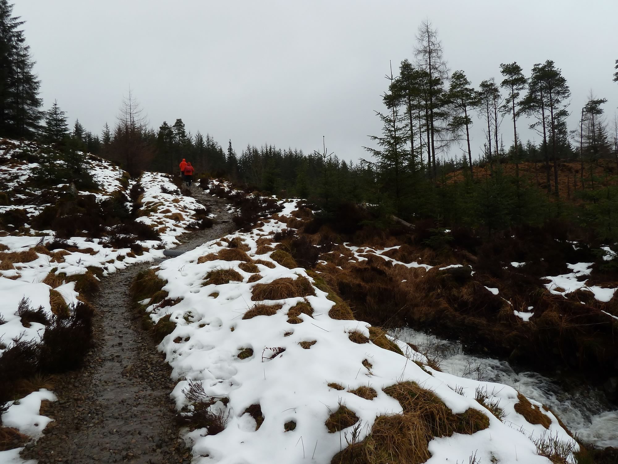
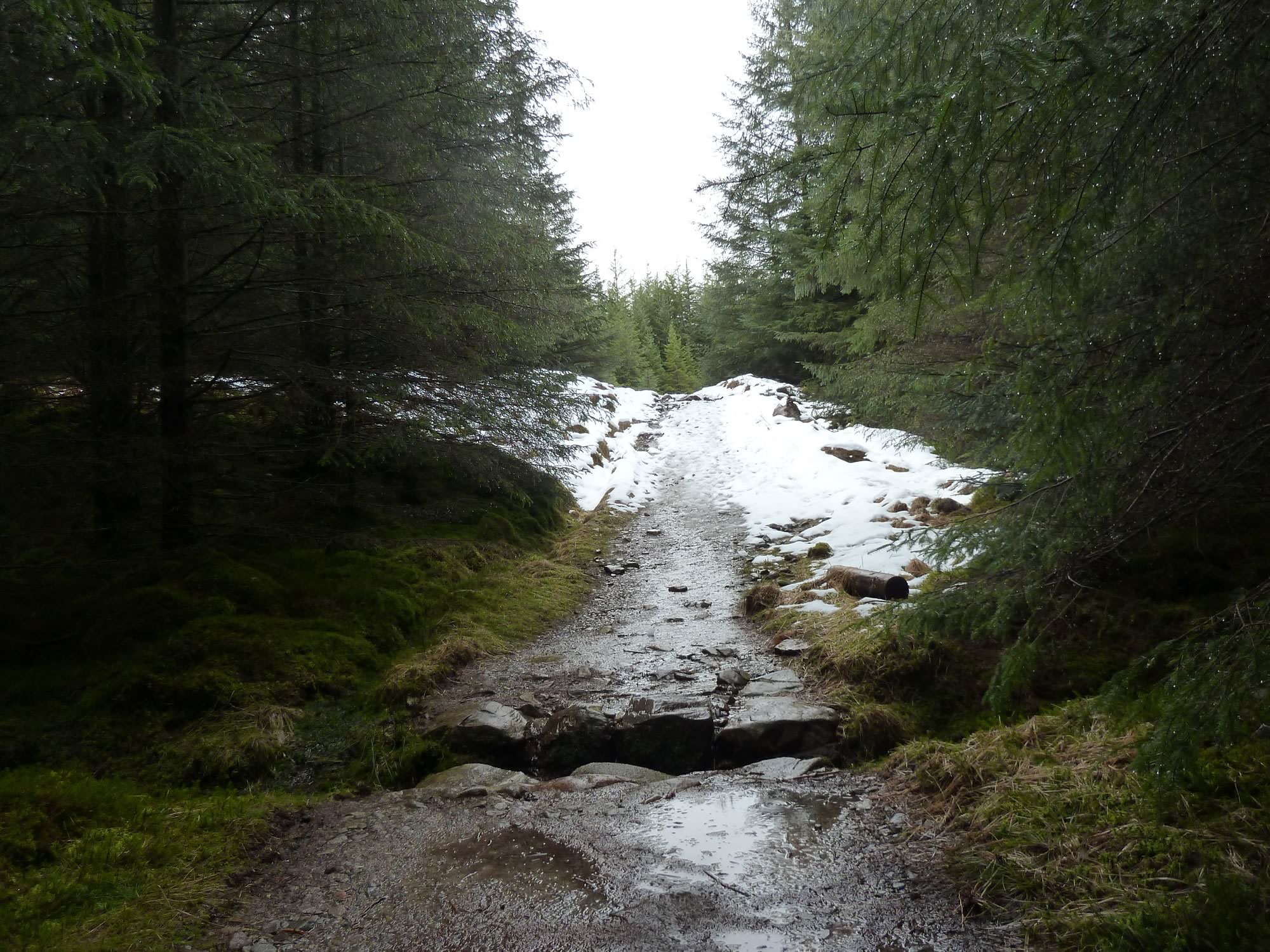
13.09 – A wintry West Highland Way
The West Highland Way is Scotland’s most popular long distance route.
It stretches 96 miles from Milngavie, on the edge of Glasgow, to Fort William, at the foot of Ben Nevis.
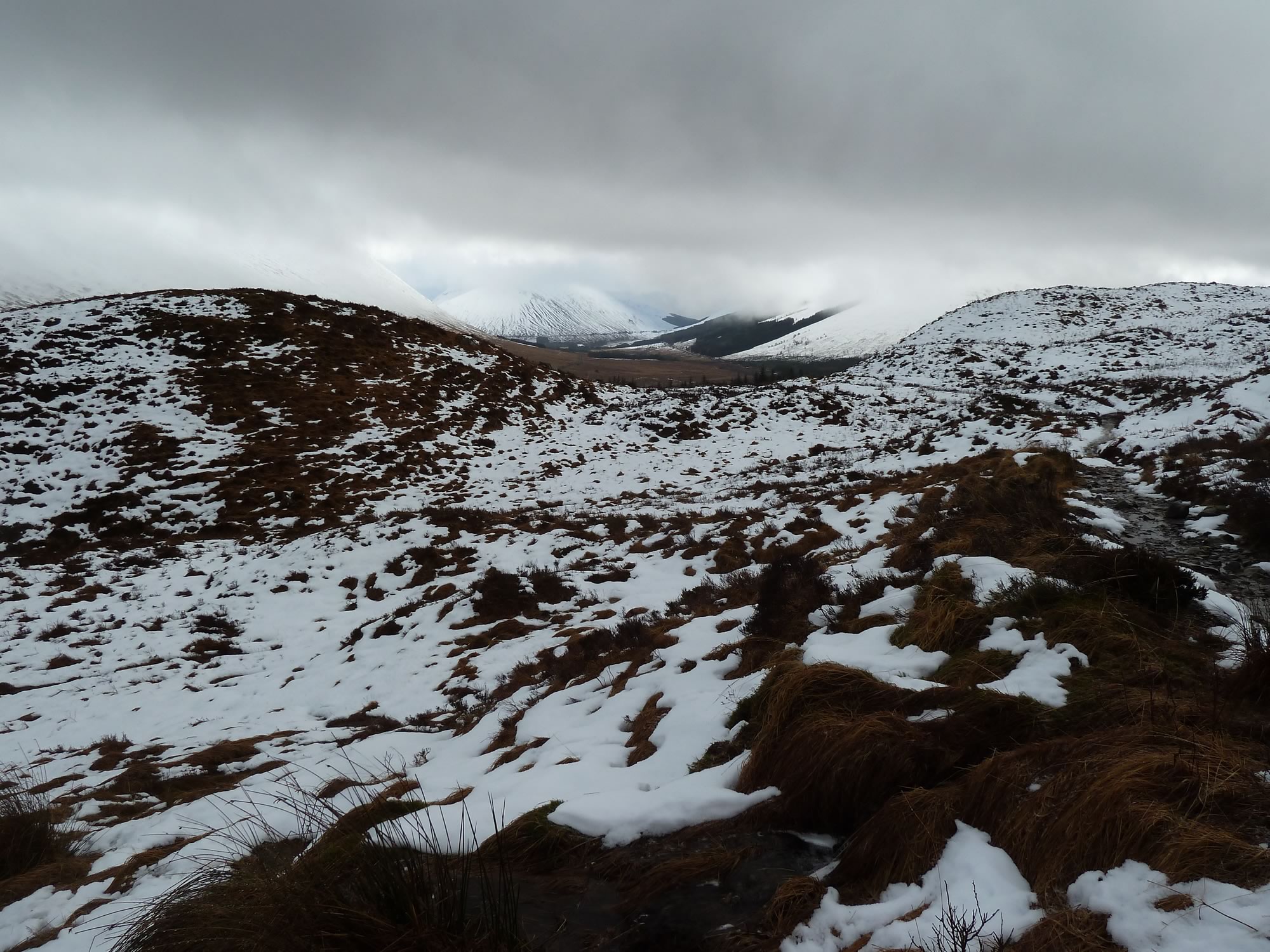
This is one of its most remote sections.
13.24 – An even more wintry West Highland Way
I was so much looking forward to this trip with Simon and Sister.
They both deserved to have a great holiday, and this was a wonderful start of the week.
13.47 – View of #
Getting to Mam Carraigh
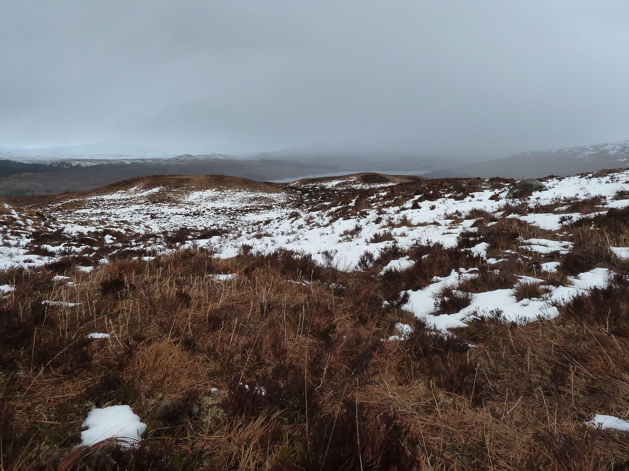
We walked for about an hour and got as far as Mam Carraigh, the highest point of the day at just over 300m.
In the dramatic winter sky Loch Tulla blended with the cloud.
Throughout the week, we’d see the loch from different viewpoints, some high, some low, through fog, and in spectacular evening light.
14.05 – Loch Tulla from the top of Mam Carraigh
In the couple of hours we were out, we saw quite a number of walkers, many more than we’re used to. Some were in pairs, others in larger groups.
14.23 – Sister and one of many streams
Simon and I were wearing all the new stuff we had just bought: socks, Craft tops, walking trousers, waterproof trousers, hats, thin Rab gloves, and waterproof Karrimor gloves.
They all did their job splendidly.
14.34 – Sister & Simon happy to be dry
The estate around Bridge of Orchy is called Auch.
It covers upwards of 28,000 acres, including many of the hills we’ve climbed in this area.
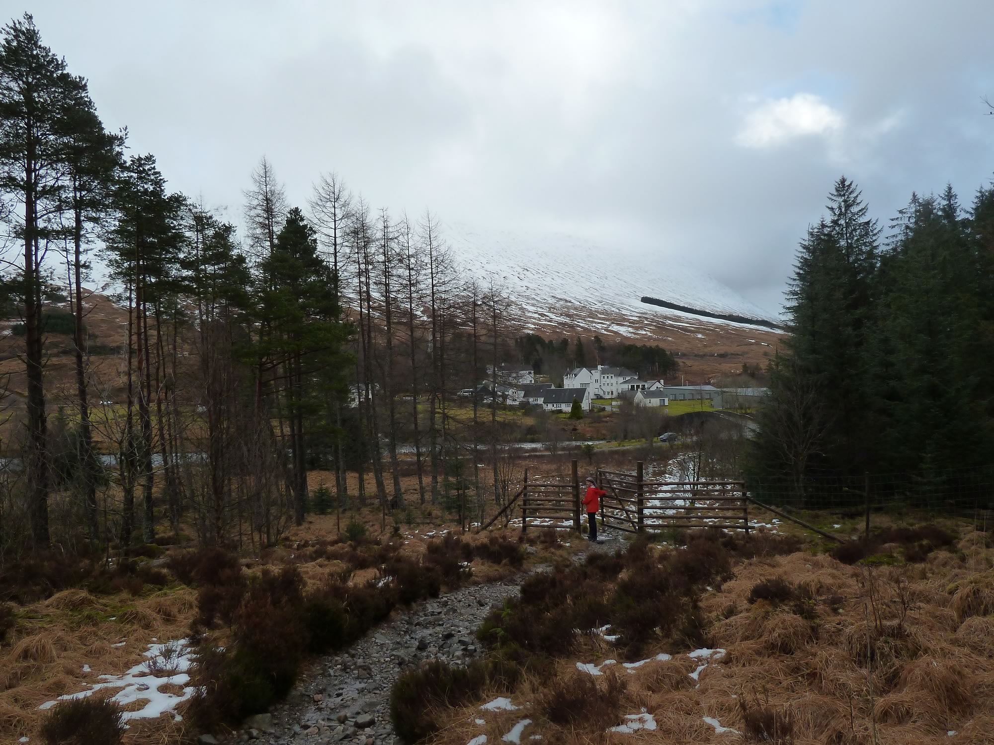
14.35 – The end of the snow
Animals seemed to be hiding in that melancholic weather. We didn’t even see a deer.
Back at Bridge of Orchy
14.53 – Simon with Bridge of Orchy in the background
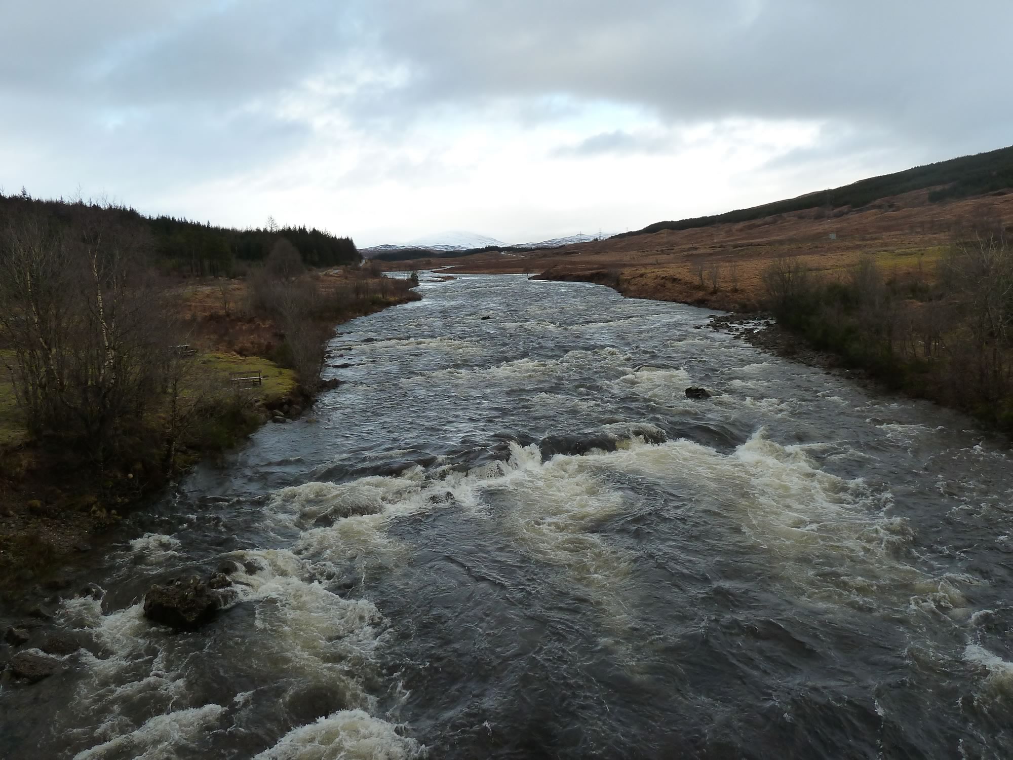
The river Orchy starts at Loch Tulla and gets to Bridge of Orchy, the village, with huge force.
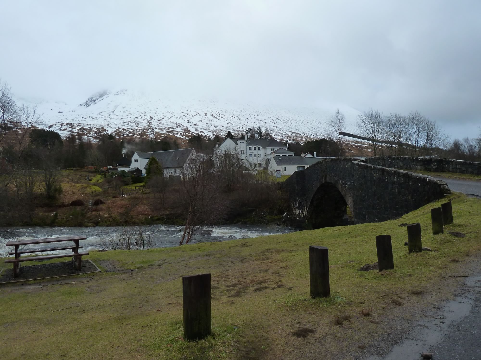
14.57 – The tough stone bridge
Building that stone bridge was a spectacular engineering achievement.
15.01 – River Orchy in all its force
We didn’t eat anything while we were out. Instead, we had a very late lunch, Spanish-style, when we got back to the cottage.
I made a stir fry with the leftover roast chicken and potatoes from the day before. We also introduced Sister to cherry cake and redbush tea.
I wonder whether that was a mistake, seeing how rapidly our second cake went.
For dinner, Sister made a vegetarian Wellington. It was delicious. She also cooked a lamb stew for a later evening, with Simon and I as sous-chefs.
Before going to bed, we planned Sunday’s excursion.
I couldn’t wait to jump on my bike and try the snowshoes we had hired for this trip.
I took all the photos with the Panasonic.
