St Cuthbert’s Way & Borders Abbeys Way: map & data
Total climbing: 858 m
Total time: 06:01:49
10.3 mile walk, 6h from 10.50 to 16.50 – average 1.7 mph (2.75kph) – including climbing Eildon Mid Hill, walking around Melrose, and breaks
Our walking practice for our upcoming holiday in France took us this time to the pretty town of St Boswells, in the Scottish Borders.
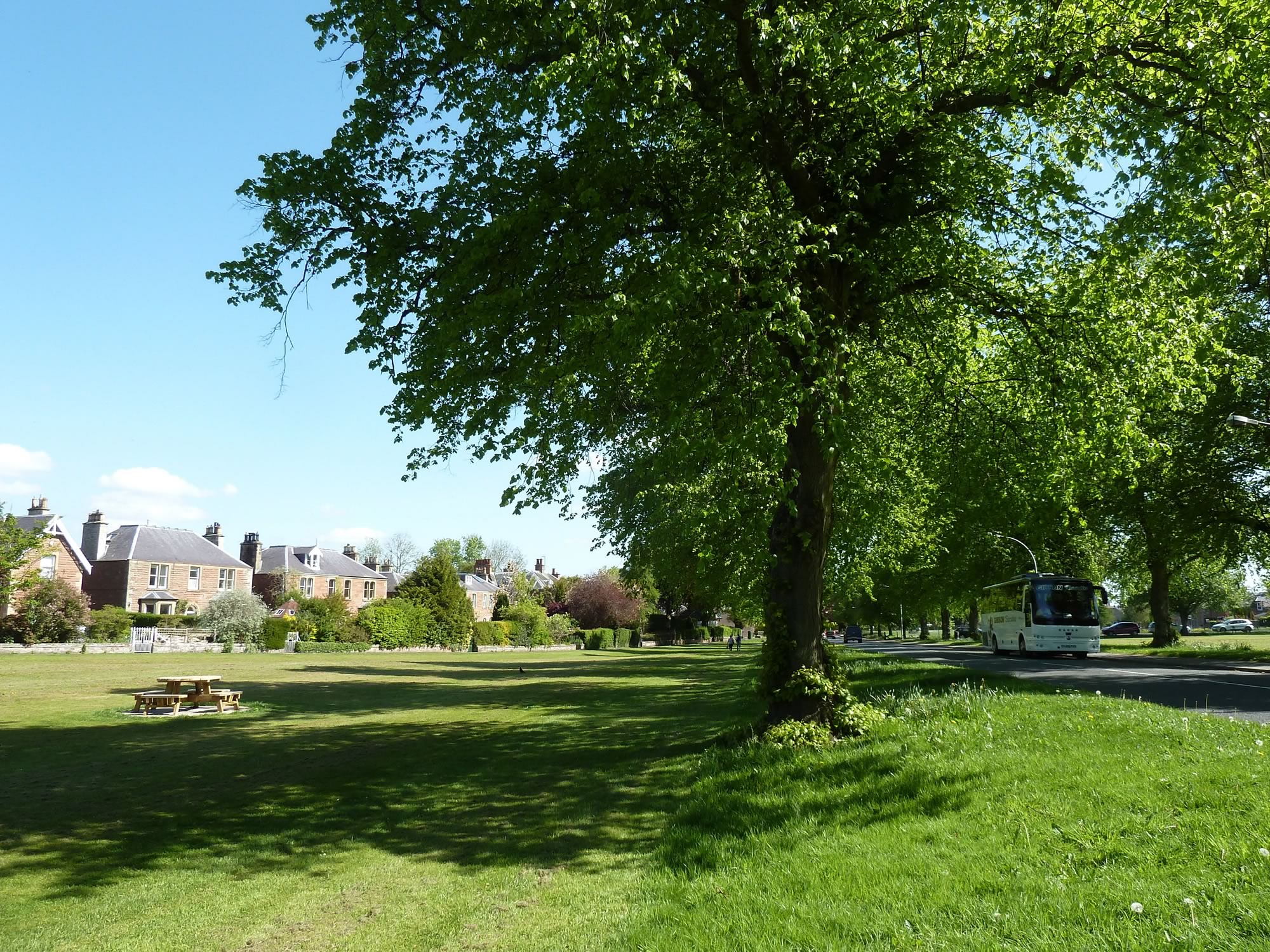
Arriving at St Boswells
To get there, we went by train to Tweedbank and got off at Galashiels. There we jumped on the 67 bus and arrived at St Boswells about half an hour later.
It was to be another gloriously sunny day.
10.44 – St Boswells in the morning sun
On our previous walking day we had done a section of the Borders Abbeys Way.
This time we also chose a route with a religious theme: the St Cuthbert’s Way. Our plan was to do the stretch that goes from St Boswells to Melrose.
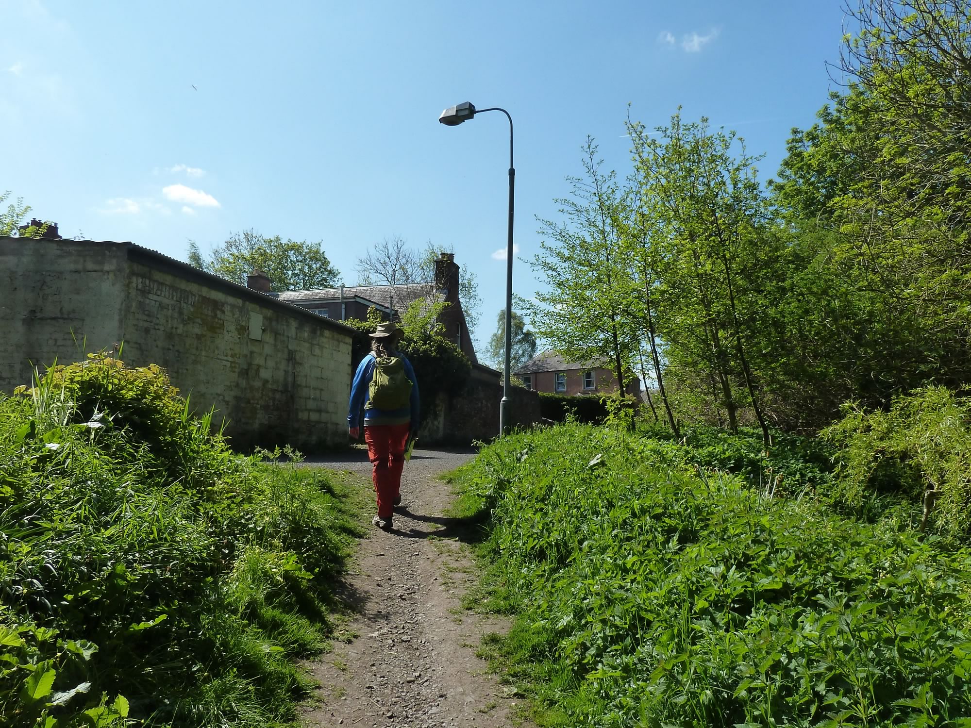
10.58 – Simon on the St Cuthbert’s Way
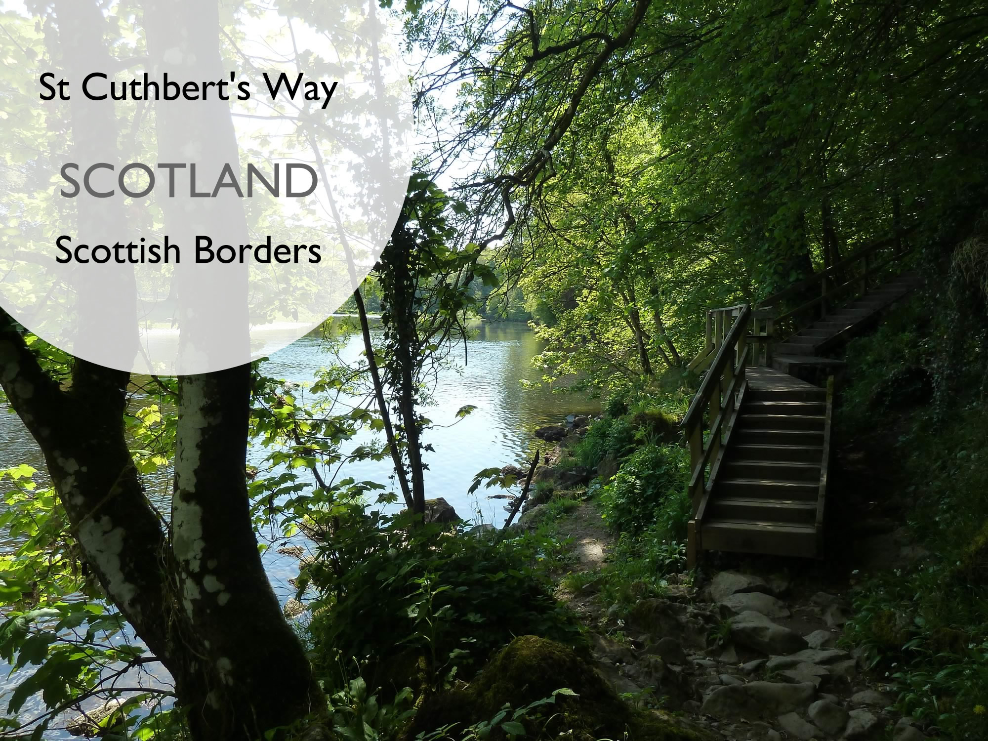
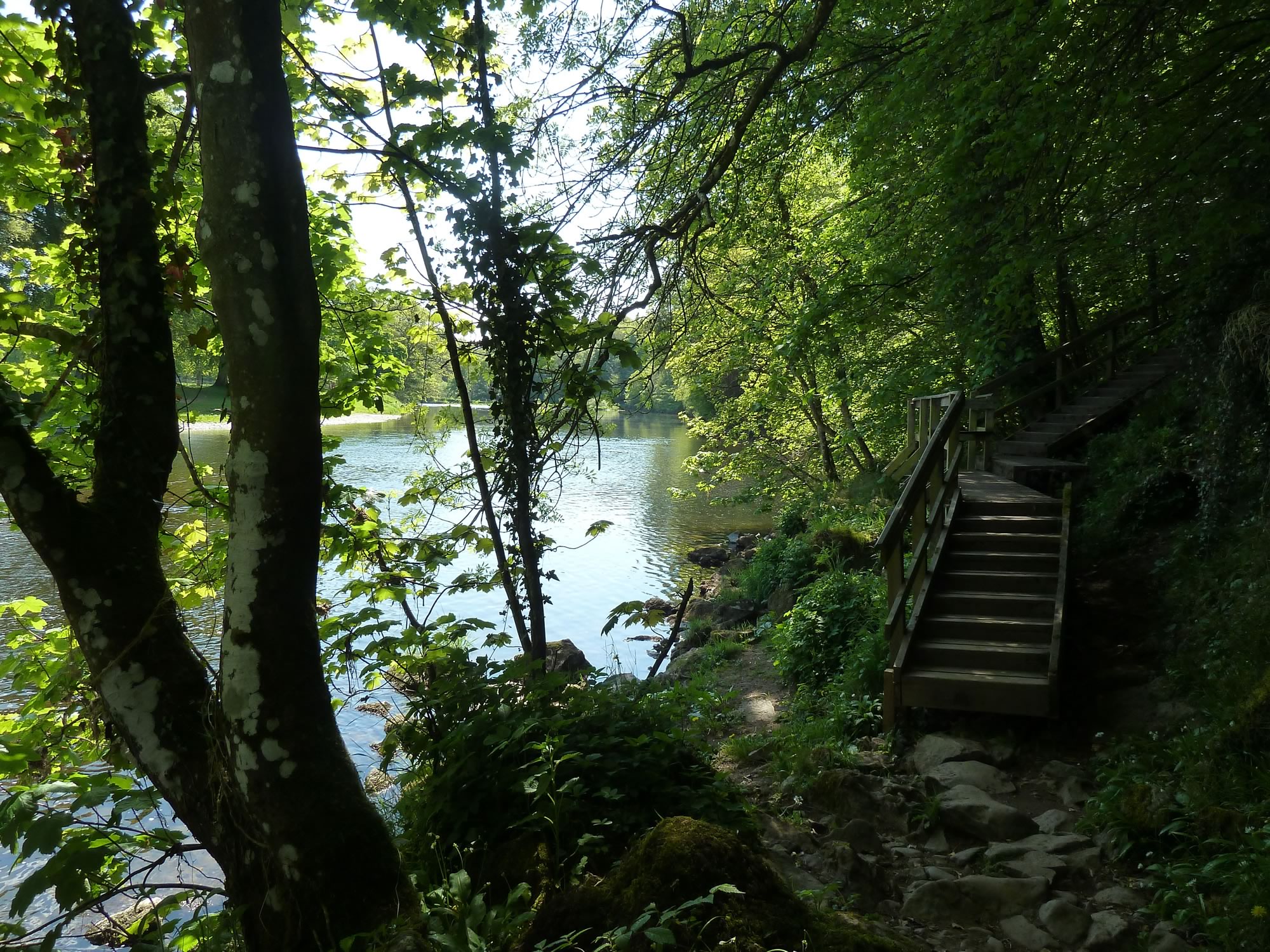
Some of the prettiest and more sheltered parts of the St Cuthbert’s Way take you along the river Tweed.
11.19 – The river Tweed opposite Dryburgh Abbey
The St Cuthbert’s Way is 62.5 miles (100 km) long. It goes from Melrose, in the Scottish Borders, to Holy Island, on the Northumberland Coast (England).
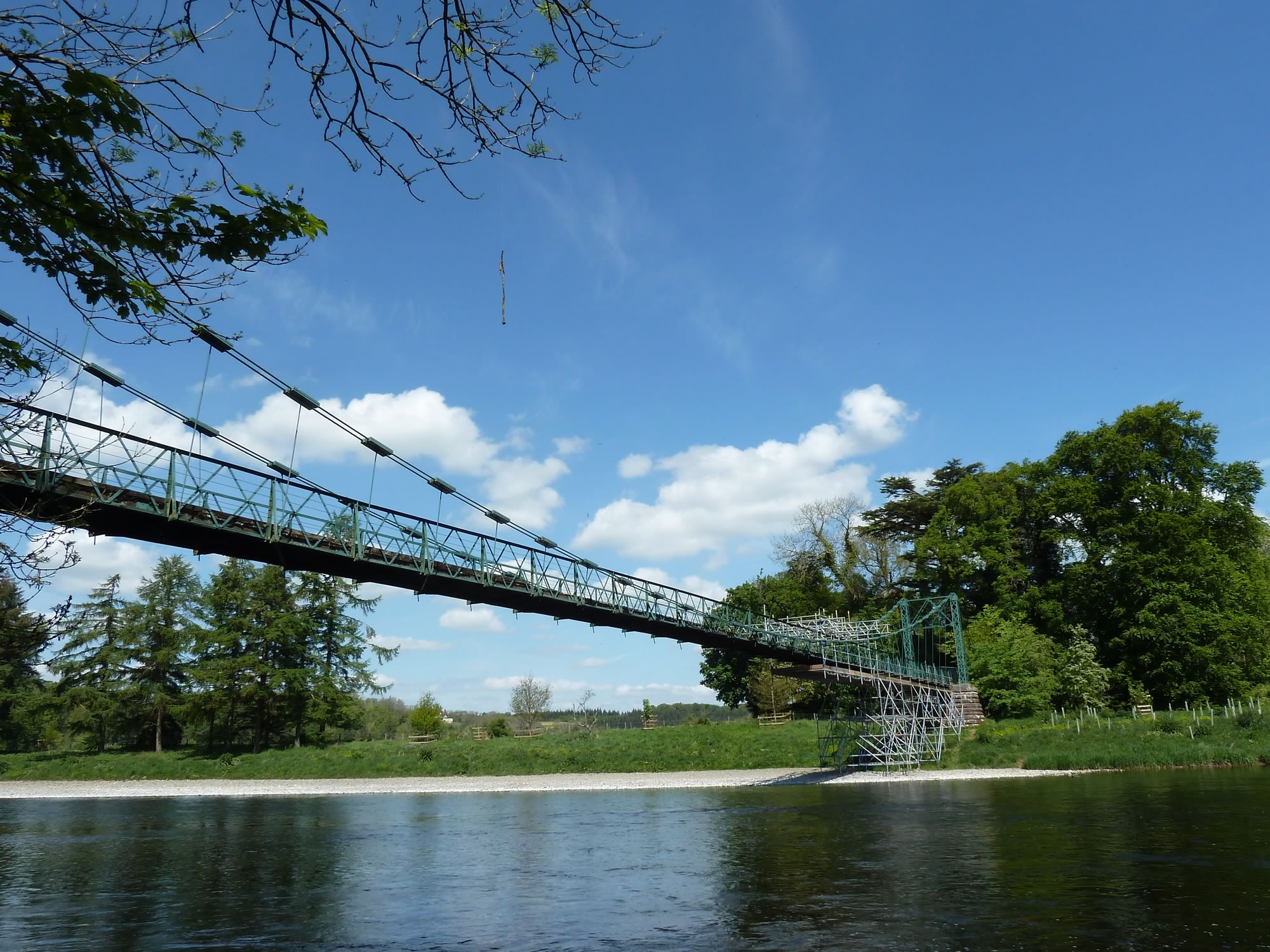
11.32 – Bridge over the river Tweed, undergoing repairs
Arriving at Newtown St Boswells
One of the places it goes through is Newtown St Boswells, population 1,200. This small town dates back at least four centuries.
Like many other towns around this area, in 1969 it saw the closure of its train station. It’s sad to think that fifty years ago it was easier to get to it than today.
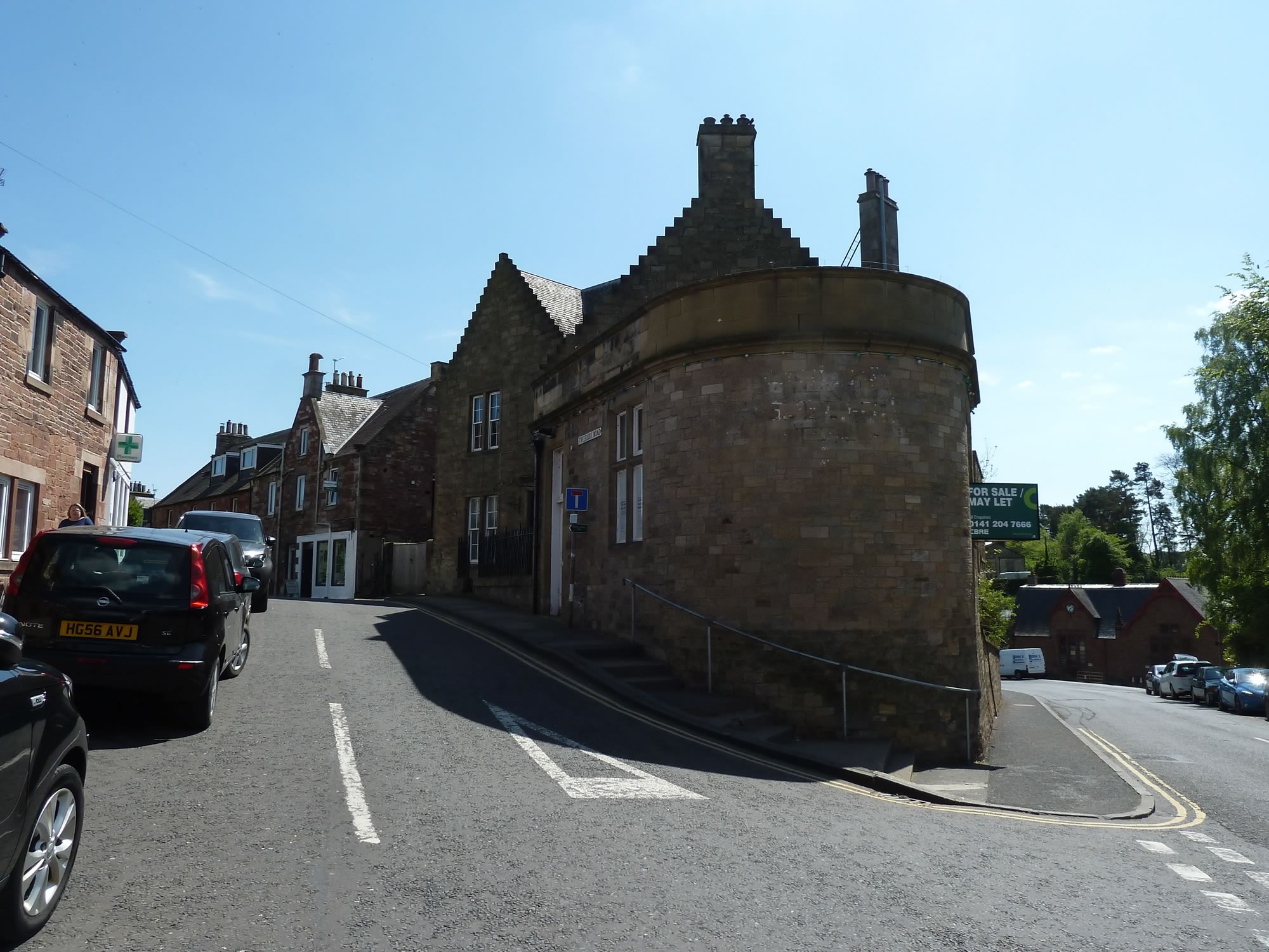
11.56 – Newtown St Boswells, a pretty town
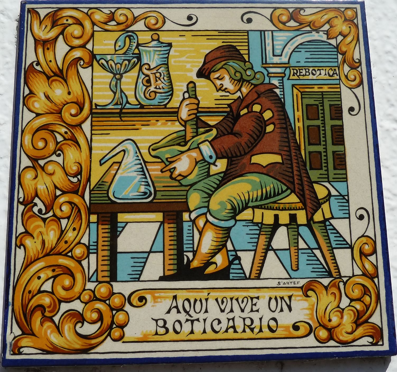
The St Cuthbert’s Way gives you a tour of Newtown St Boswells. When you walk past the pharmacy, you see this Spanish tile next to the entrance door.
Coming from a family of Spanish pharmacists, I found it super awesome.
11.59 – Newtown St Boswells – Spanish tile on a pharmacy facade
I was wondering who St Cuthbert was, so I did some research. Apparently he was a 7th century monk, bishop and hermit from the Borders. He worked at Melrose Abbey and died on Holy Island.
The Way named after him follows his footsteps.
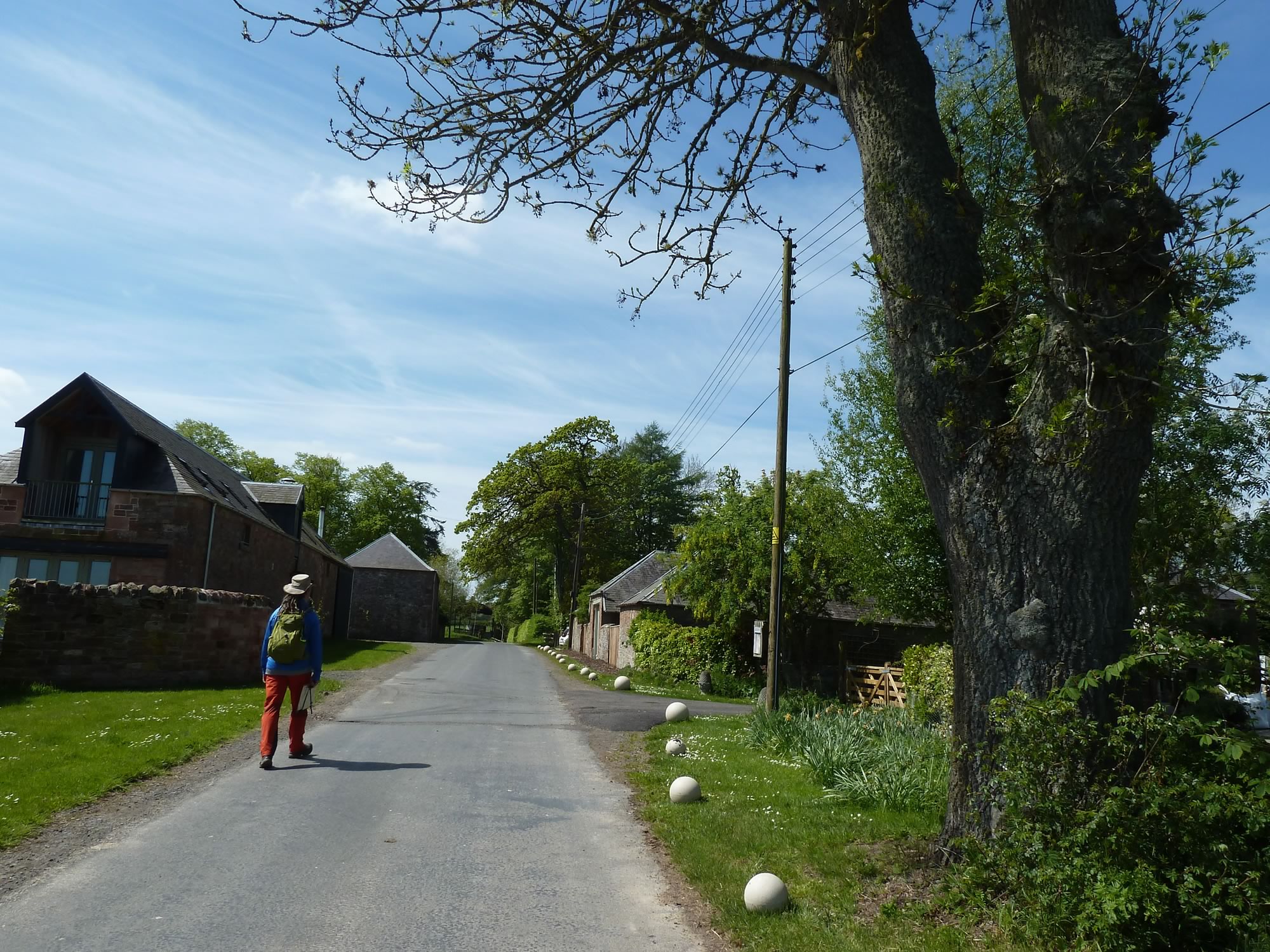
12.19 – Simon walking on the road through Whitelee
It was a good idea to wear lighter boots for this walk because of the combination of tarmac and path. We also wore our hats all day, to hide from the blazing sun.
12.36 – Path between Whitelee and Maxpoffle
It hadn’t rained for at least a week when we did this walk, so the ground was pretty dry. I can imagine parts of it could get somewhat muddy if there’s been rain.
12.40 – Maxpoffle in the sun
I was expecting to meet many more walkers than we did. We saw small parties here and there, but not many for such a nice day.
We saw some mountain bikers at the beginning, but it can’t be much fun to cycle with those steps along the river Tweed.
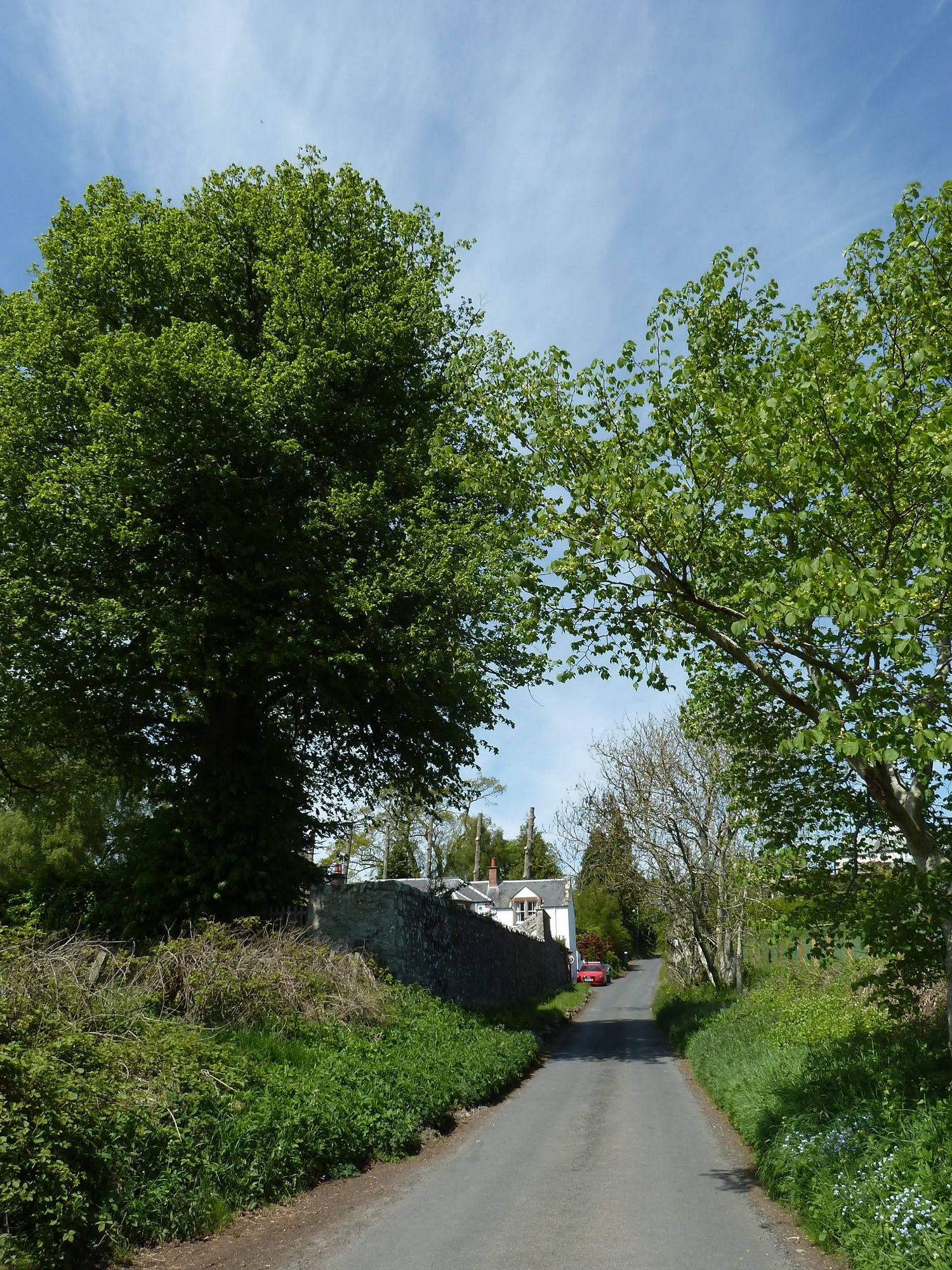
12.49 – Walking uphill into Bowden
Arriving at Bowden
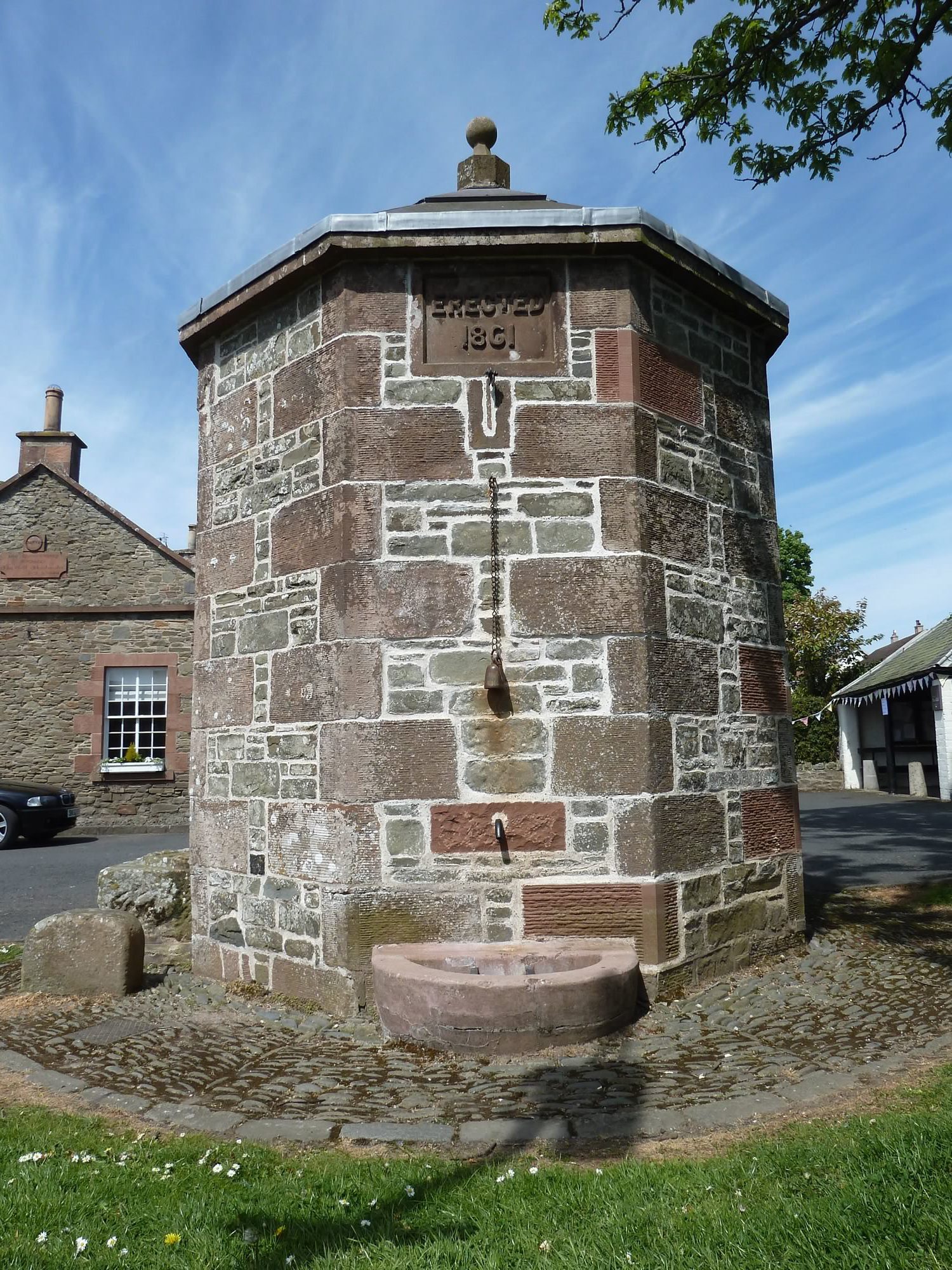
When you arrive at the village of Bowden you’re met by this fabulous pant well.
A pant well is a public fountain. The original one was built in 1861 to bring fresh water to the village, and remained in use until the 1930s.
I say “original” because the one you see here is a restoration. A superb one.
12.56 – The restored Bowden Pant Well
After admiring the well, we were ready for lunch. We had our sandwiches and apples in a nearby quiet park with great views of the hills around.
Then we resumed our walk.
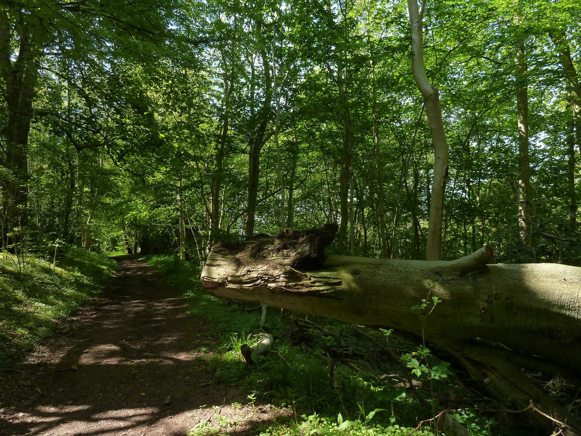
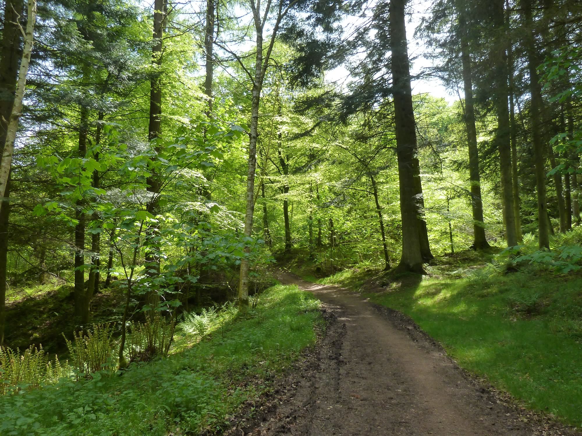
14.04 – Through the woods to Eildon Hills
We had plenty of time, so we decided to climb one of the Eildon Hills.
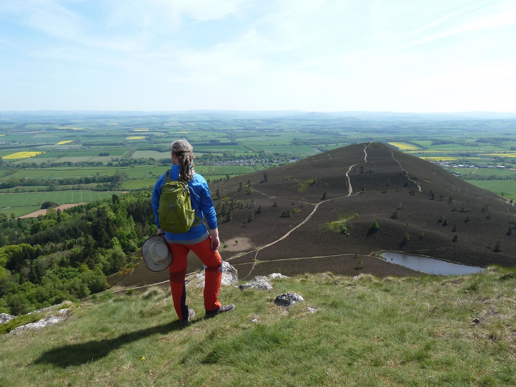
The Eildons are a group of three hills. We climbed Eildon Mid Hill, which is 422m high.
14.27 – Simon surveying the land from Eildon Mid Hill
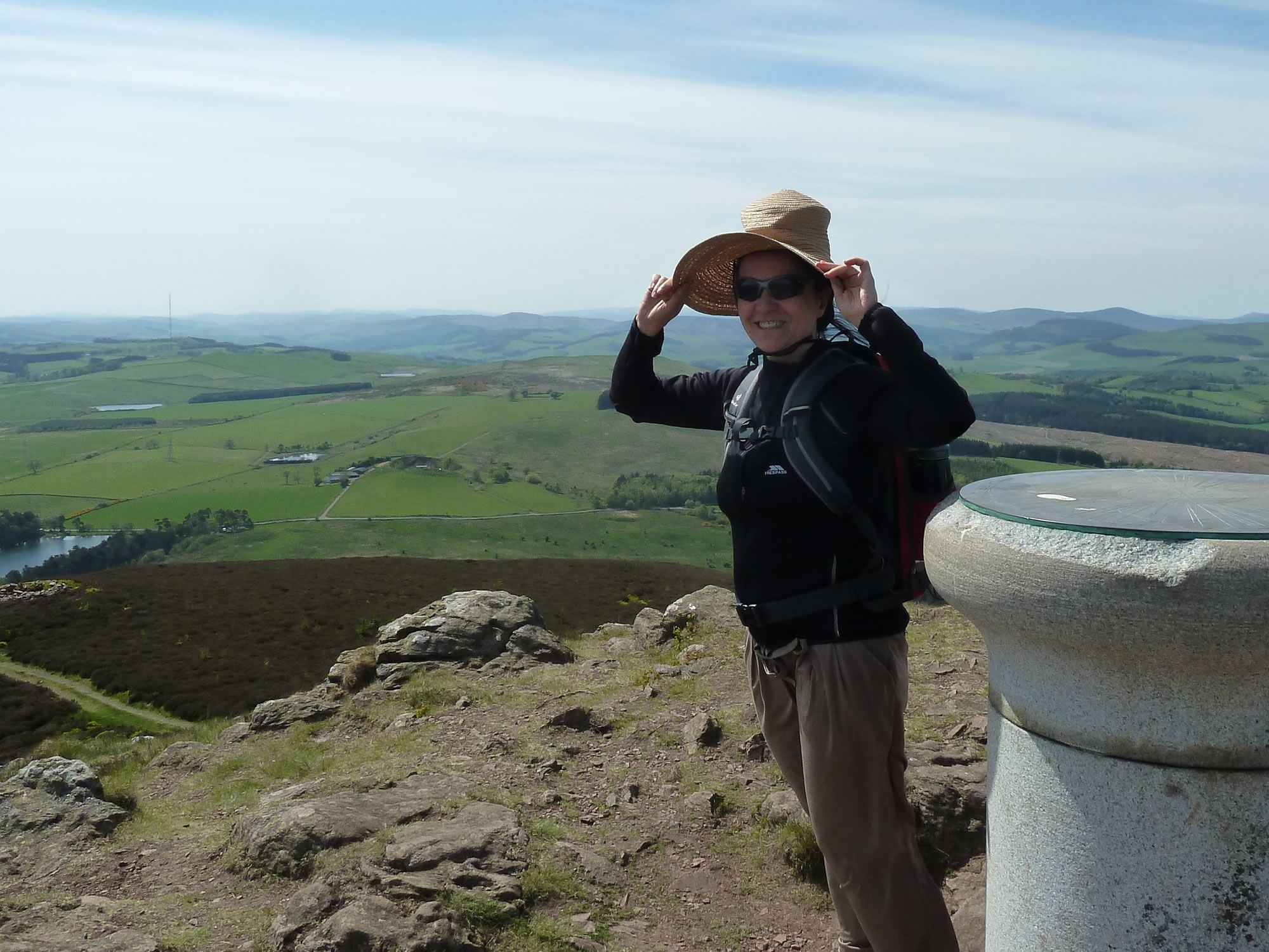
The climb gets quite steep at some point, and a bit slippery with all those rocks and gravel. It can also be surprisingly windy at the top.
With good visibility, the Eildon Hills have breathtaking views of not only Melrose, but also the Lammermuirs, Moorfoots and Upper Tweeddale Hills.
By the way, this is how you pronounce the word ‘Eildon’: /ˈiːldən/
14.31 – Maria on top of a windy Eildon Mid Hill *
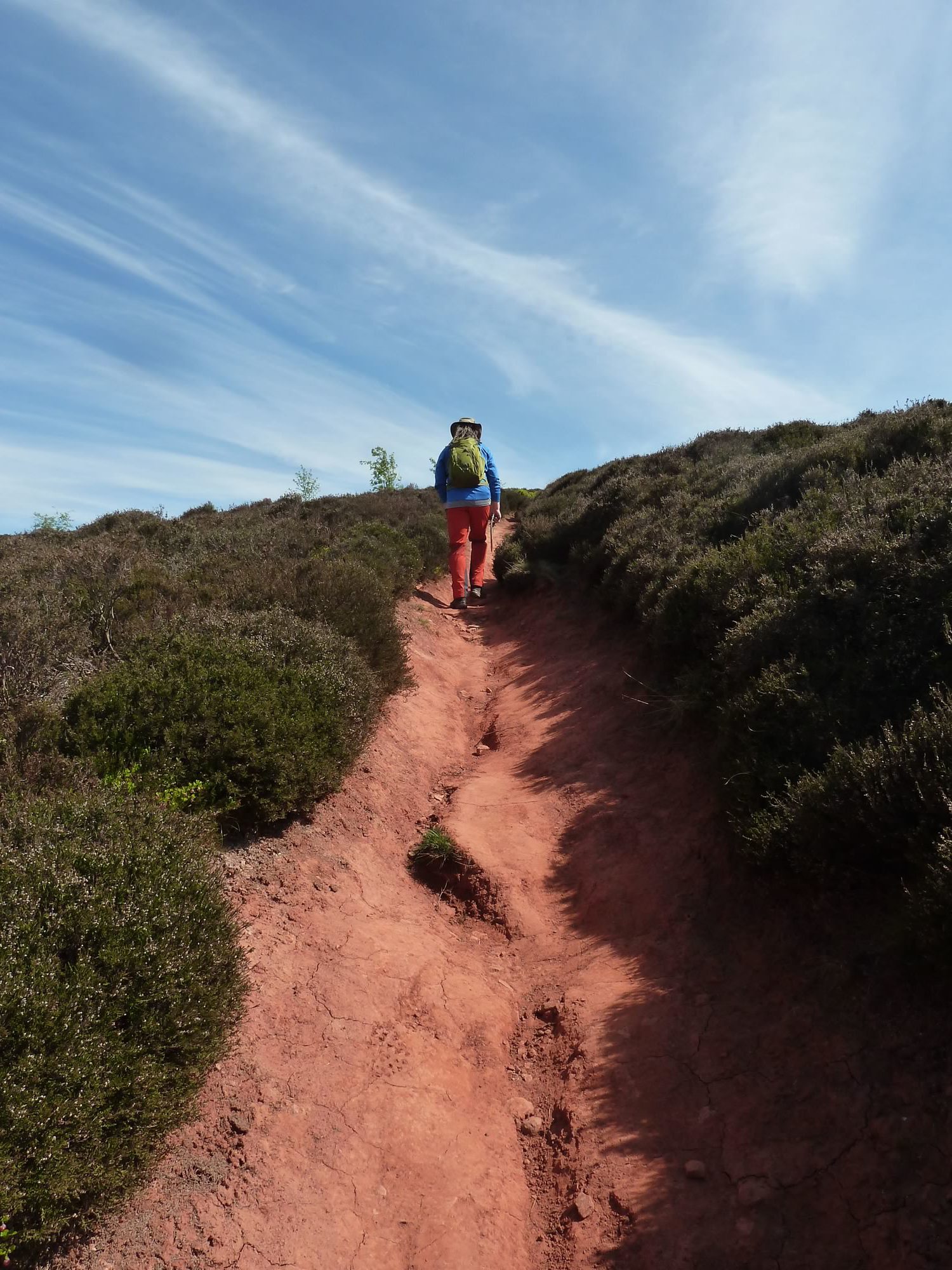
From the Eildons to Melrose there’s a path with the most gorgeous red sand. It’s like being back in Colorado.
14.49 – Heading to Melrose from the Eildon Hills
Still on the St Cuthbert’s Way, we descended towards Melrose.
The path took us past endless gorse bushes that looked magnificent in the sun, and smelt heavenly.
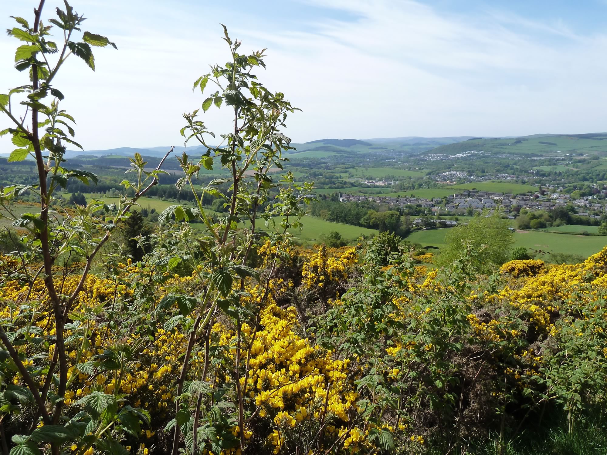
15.02 – Gorse on the Eildon Hills above Melrose
Arriving at Melrose
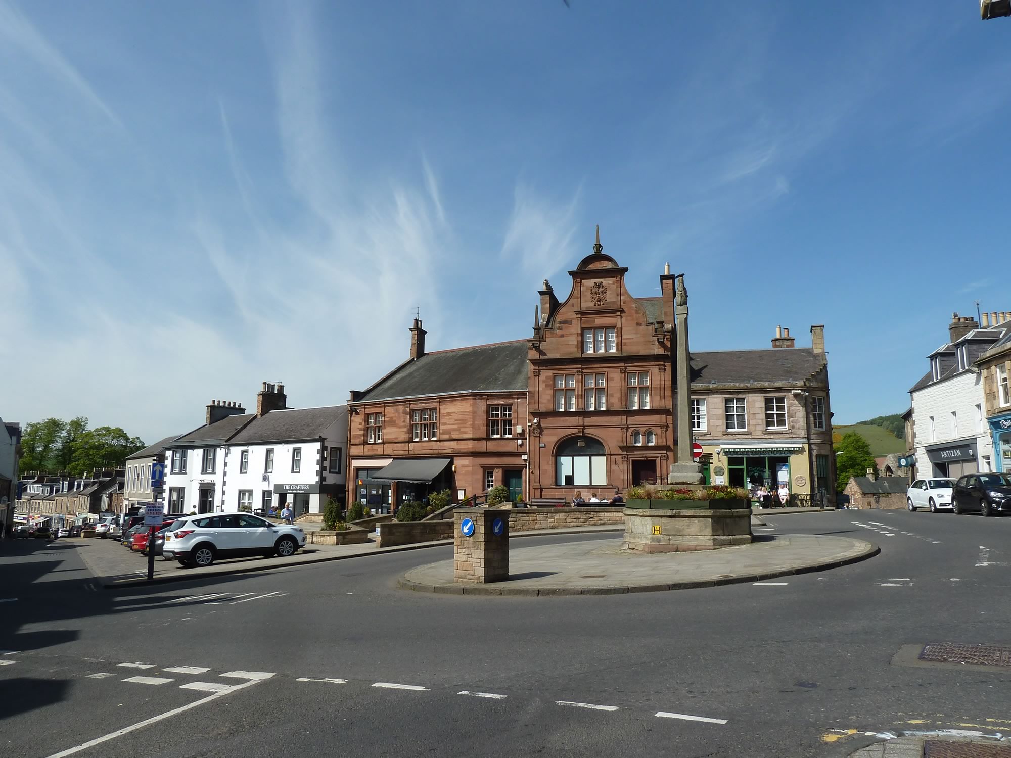
Melrose is a picturesque Scottish Borders town with a population of about 1,700.
15.28 – Market Square, Melrose
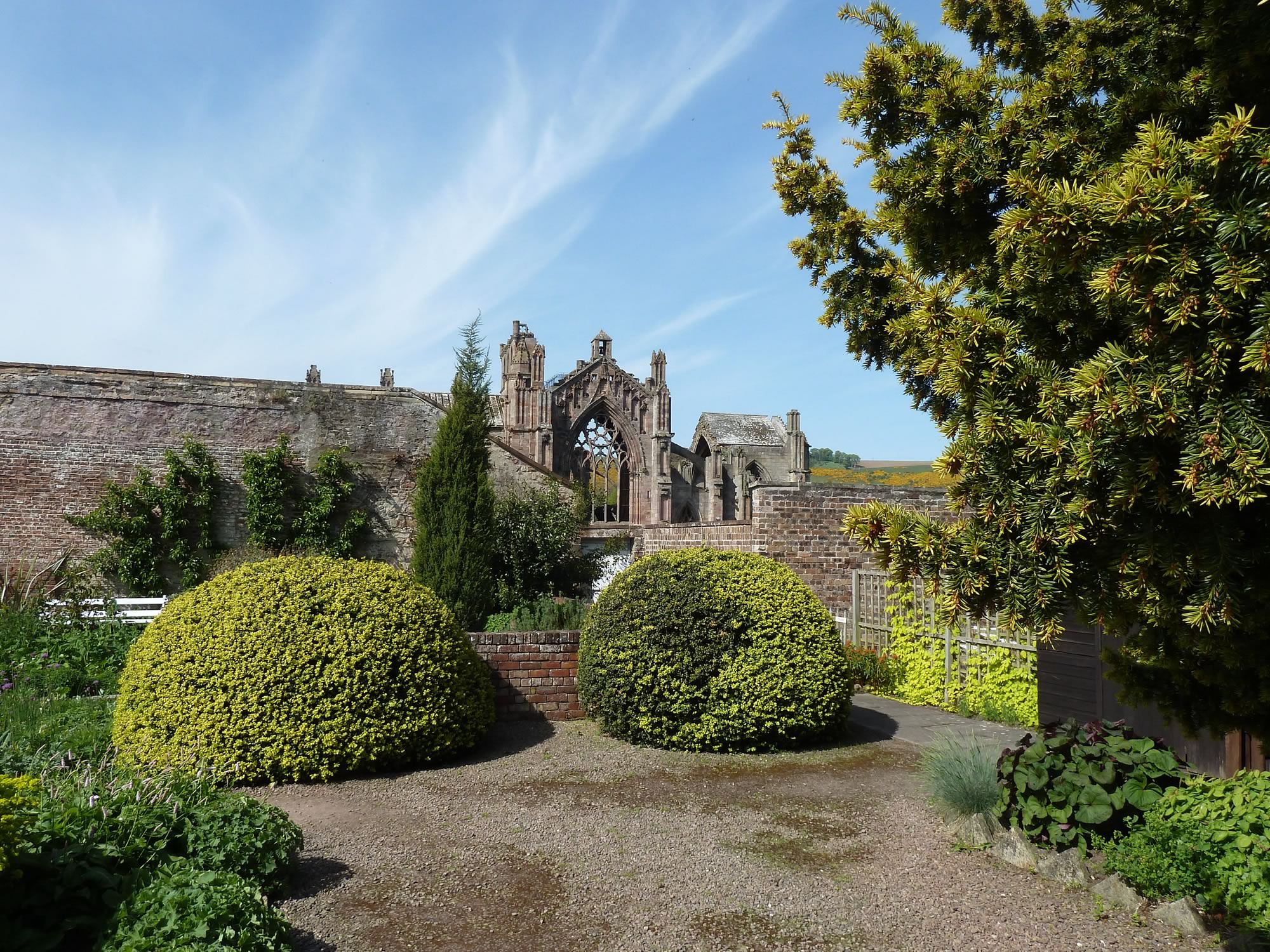
Like good pilgrims, we headed for the 12th century abbey. We didn’t actually go in. Instead, we went into the Priorwood Garden, next to it.
You get a good view of the ruined abbey from one end of the garden.
Apparently this garden was bought in the 1970s by the National Trust for Scotland. That saved it from being converted into a car park.
Spiffing.
15.48 – Melrose abbey from the Priorwood Garden
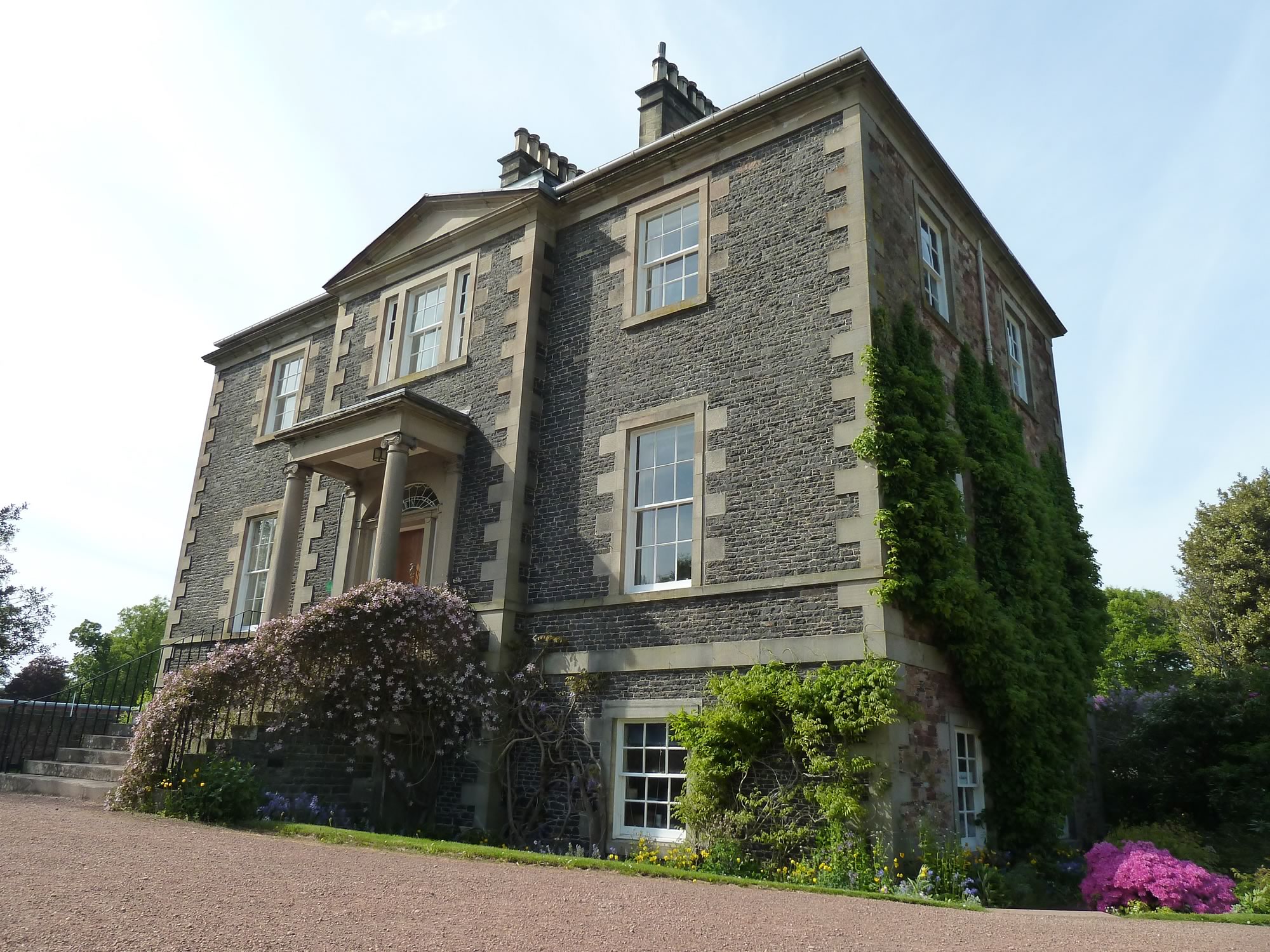
Then we went to see a Georgian house called Harmony. It was built around 1807 by Robert Waugh, a man described by his neighbour, Sir Walter Scott, as a “West-Indian Planter (but himself bred a joiner)”.
I can’t bring myself to appreciate places built with profits made from slavery.
16.04 – Harmony house, Melrose
To get to Tweedbank, our final destination, we took the Borders Abbeys Way.
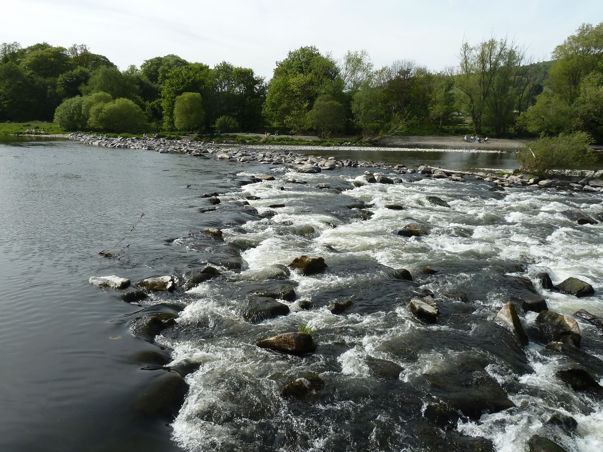
16.15 – The river Tweed just outisde Melrose
We walked along the narrow path next to the river Tweed for a while. After all that sun we were happy to walk in the shade.
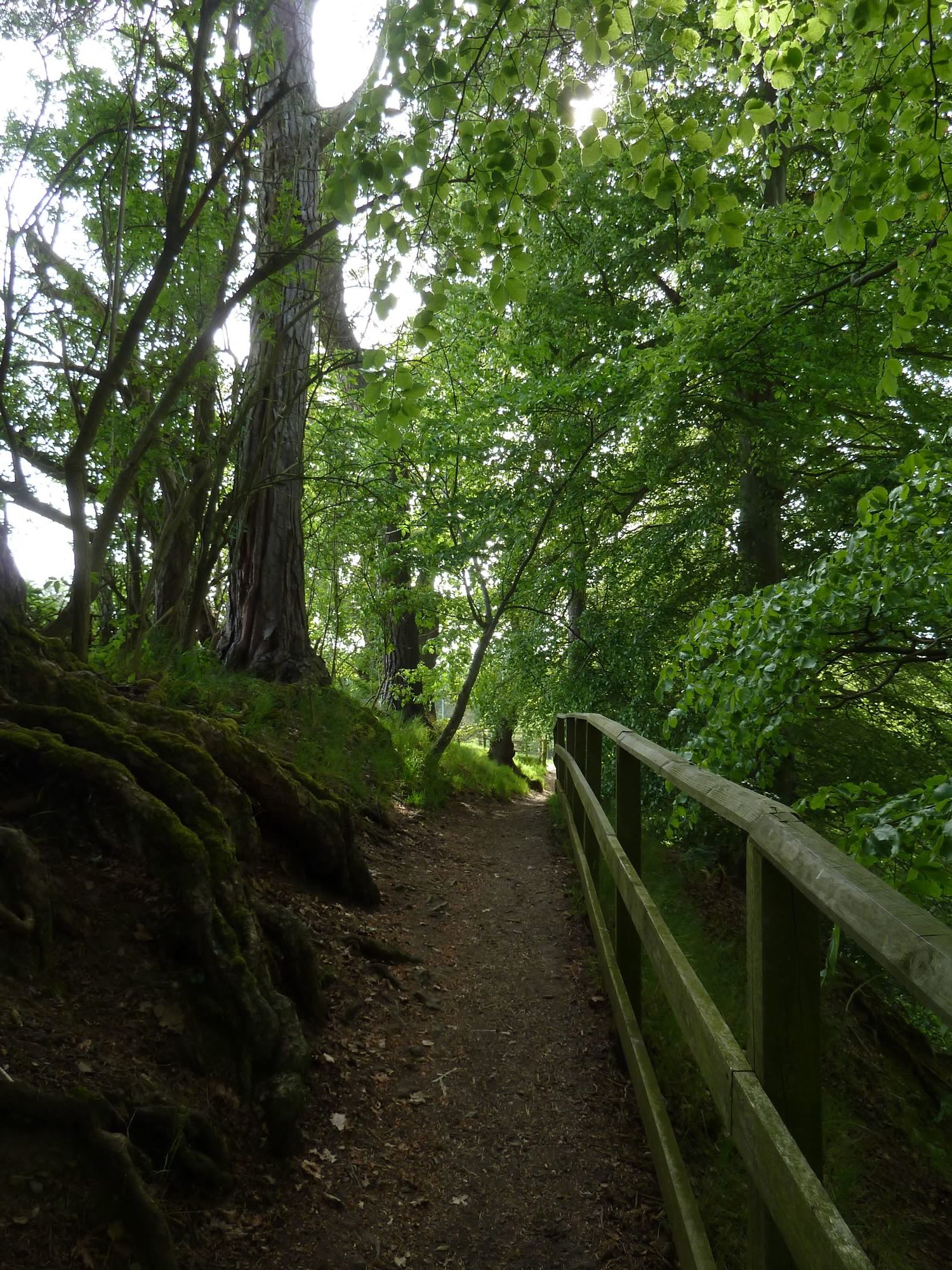
16.38 – Walking along the Tweed, nearly back at Tweedbank
The more walking we do, the more routes we discover. So far we’ve found: the Sir Walter Scott Way, Borders Abbeys Way, Roman Heritage Way, Southern Upland Way, St Cuthbert’s Way, and Pennine Way National Trail.
Who knows how many more there are. I guess we’ll have to investigate them.
This blog’s going to be gargantuan one day.
I took all the photos with the Panasonic.
* Simon took this photo.
