Climbing King’s Seat Hill (Ochil Hills): map & data
Total climbing: 664 m
Total time: 04:27:39
5.8 miles walking in 4h30 from 10.00 to 14.30 – average 1.3 mph
– “We should start training for the Lairig Ghru”, said Simon a few days ago.
The Lairig Ghru is a spectacular mountain pass in the Cairngorms (Scotland). Our plan is to walk it in May, going all the way from Aviemore to Blair Atholl, which is about 40 miles (65 km).
That means we’ll have to take quite a bit more stuff with us than we’ve ever done before. To make sure we don’t run out of energy half-way through, we have to practise doing something close to “the real thing” in terms of weight.
Off to the Ochil Hills
And that’s why this Sunday morning we walked out of the house with two bulky rucksacks filled with food, flasks, tent, poles, pegs, gloves, fleeces, waterproofs, down jackets, hand warmers, extra buffs, extra hats, more gloves. You name it.
If Sherlock Holmes had looked inside our rucksacks on this mild, dry and windless day, he’d have got very confused indeed.
– “Why are those two dragging all these gloves and hats up a hill and down, for nothing? It makes no sense, Watson”.
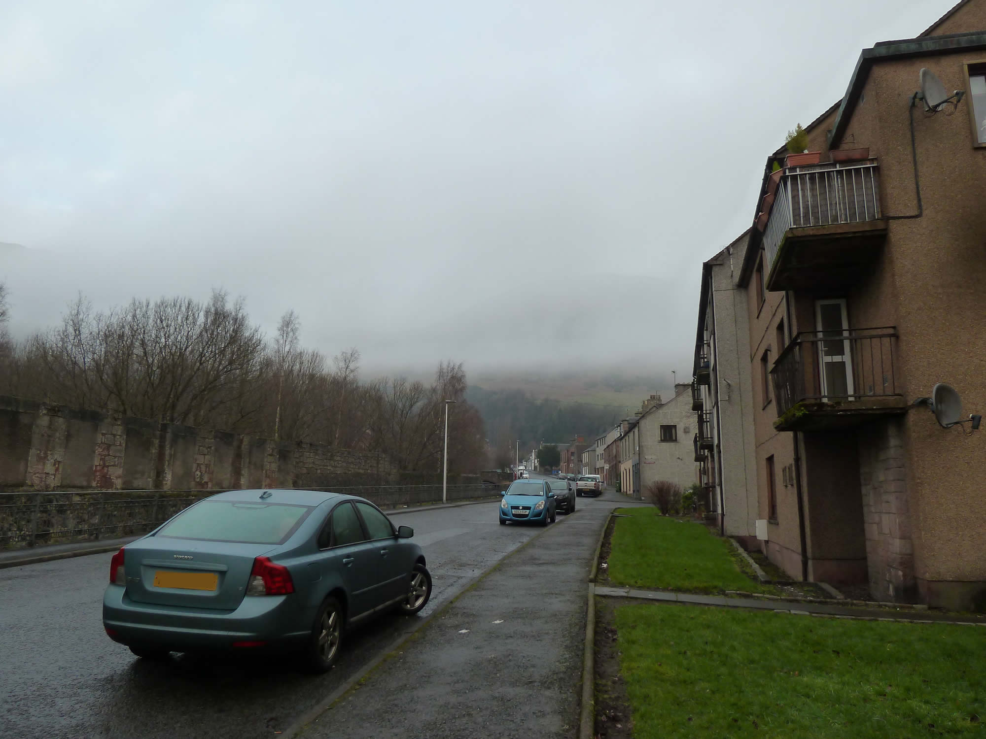
9.54 – The small town of Tillicoultry, our starting point
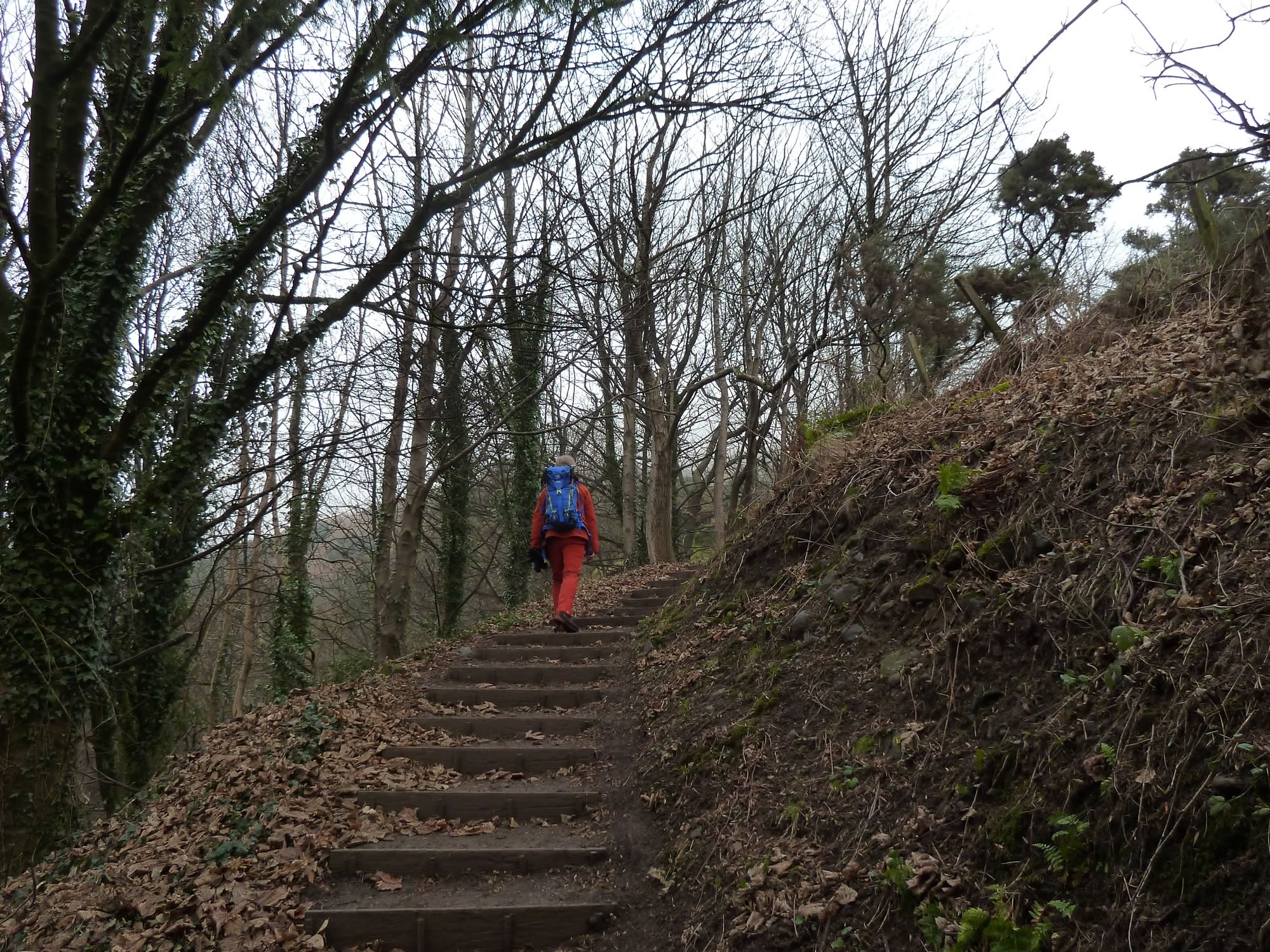
As you leave Tillicoultry, the first part of the ascent is the steepest, and with that fat rucksack on I felt like I was carrying a pregnant sheep up the hill.
I kept wondering how on earth I was ever going to manage the 40 miles of the Lairig Ghru. Fortunately, with a bit of rucksack strap readjustment by Simon, the weight suddenly felt a lot more bearable.
By the way, this is how you pronounce Tillicoultry: /ˌtɪliˈkuːtri/, although the locals call it “Tilly”. Tillicoultry means “the mount/hill at the back of the country”.
10.09 – Simon with his somewhat heavy rucksack
Climbing King’s Seat Hill
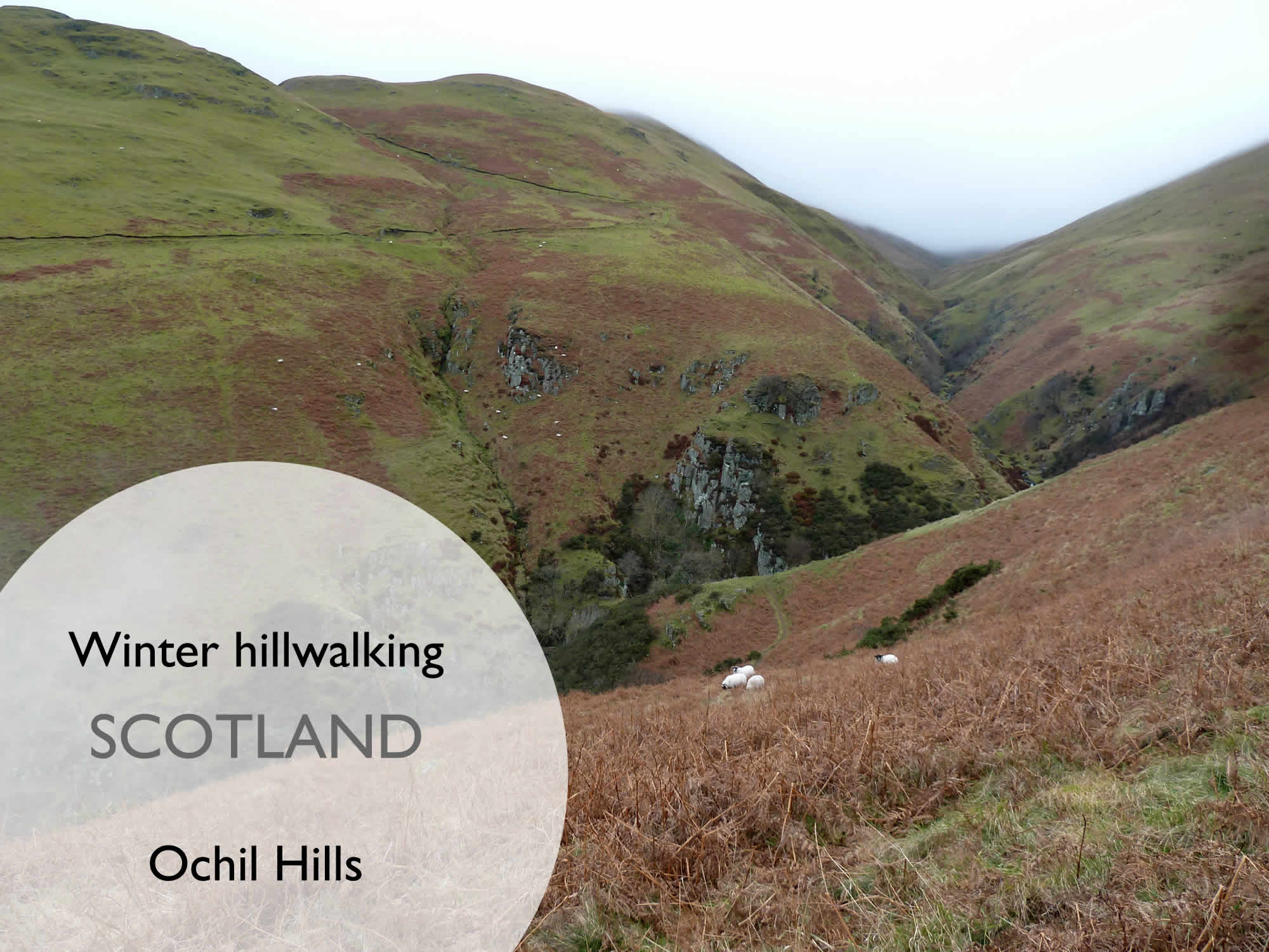
Our plan for the day was to climb King’s Seat Hill, a 648m Donald in the Ochil Hills.
Donalds are some of the 2,000+ ft (610+ m) hills in the Scottish Lowlands, and the Ochils are a range of hills north of the Forth valley. Their highest point is Ben Cleuch (721m).
I’ve also just discovered that “Ochil” means “high” and this is how you pronounce it: /ˈoʊxəl/.
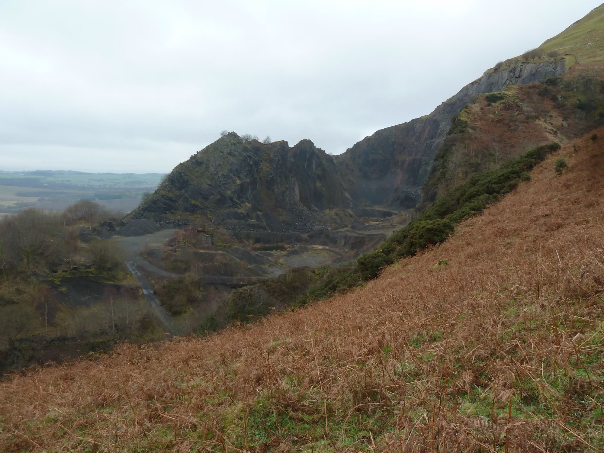
10.18 – A disused quarry
In the four hours we were walking, we only saw a few people on our hill, and a few more going up and down The Law, the hill opposite. But there were plenty of sheep around.
In Scots, the word “law” refers to a hill, usually one with a rounded top. Most of the Ochils we saw are like that.
10.34 – View of The Law (638m) & Andrew Gannel Hill (669m)
The weather forecast didn’t promise us any sun, but the temperature was about 9 degrees. That’s mild for this time of year, and warm when you’re carrying 7.94kg on your back. Or 8.91kg, like Simon.
I was puffing and panting like a hippo even before we started.
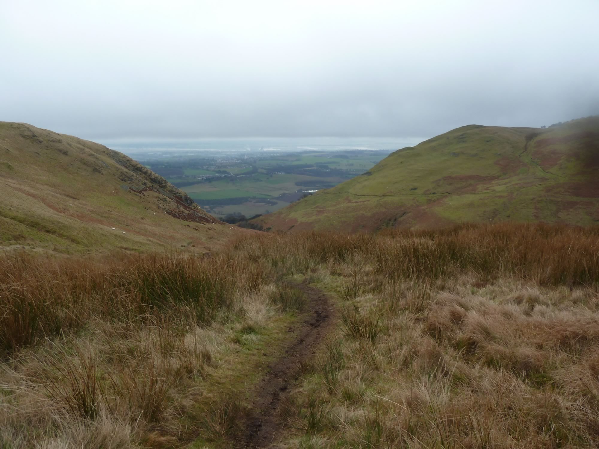
10.57 – Tillicoultry from the slopes of King’s Seat Hill
Walking in a light fog
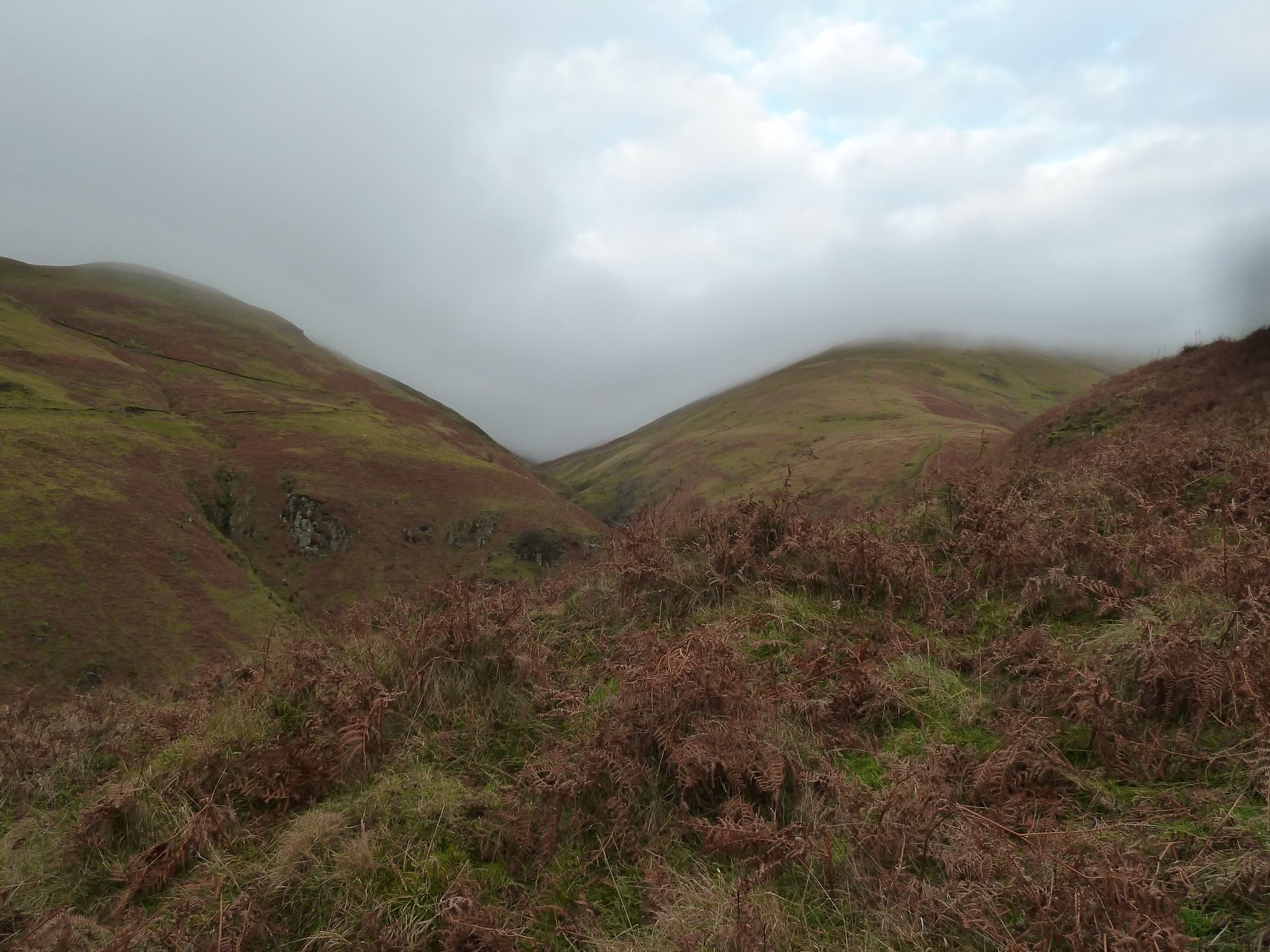
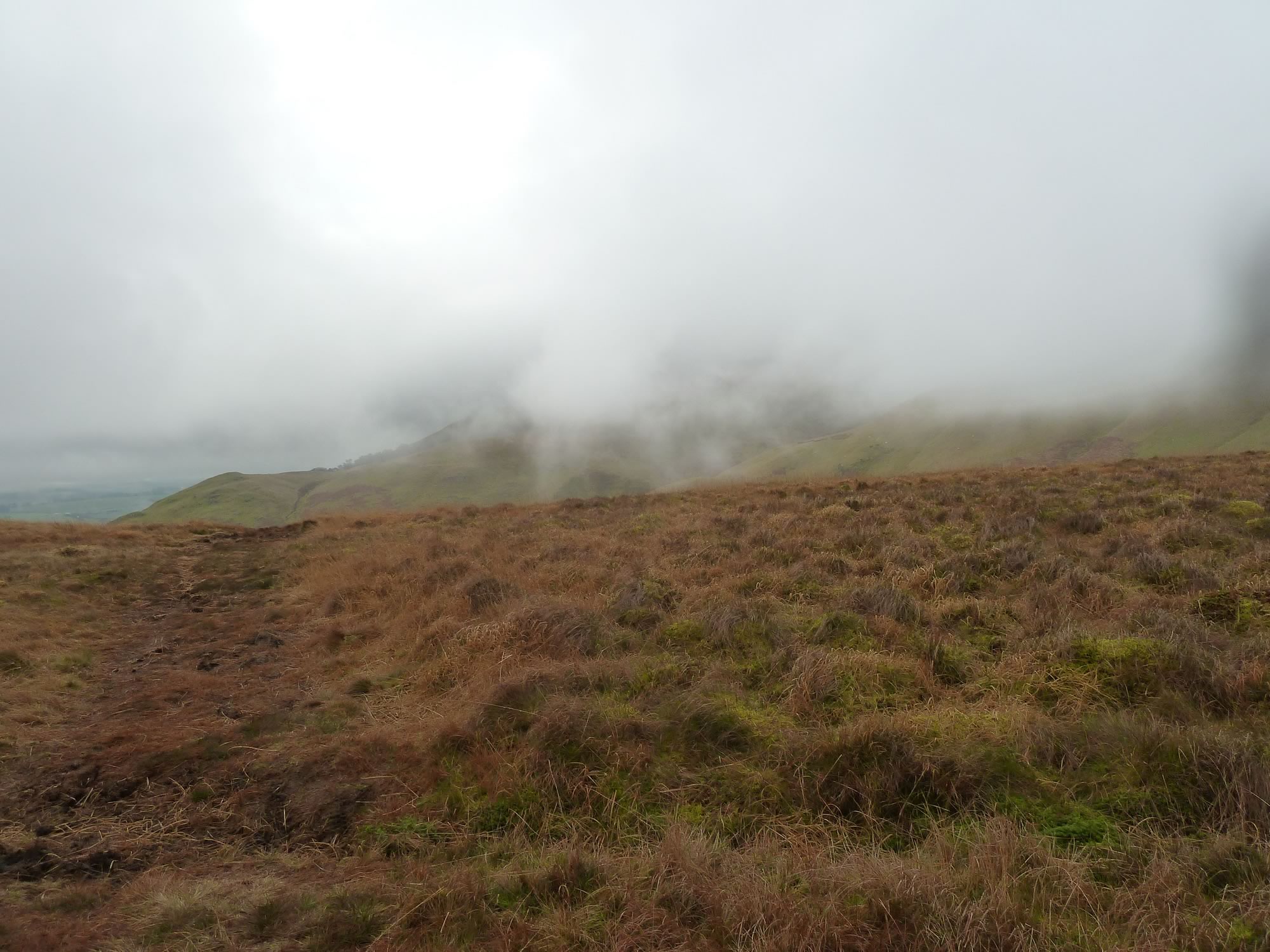
Throughout the day, the sun kept teasing us. It came through the cloud a couple of times, but then the fog returned.
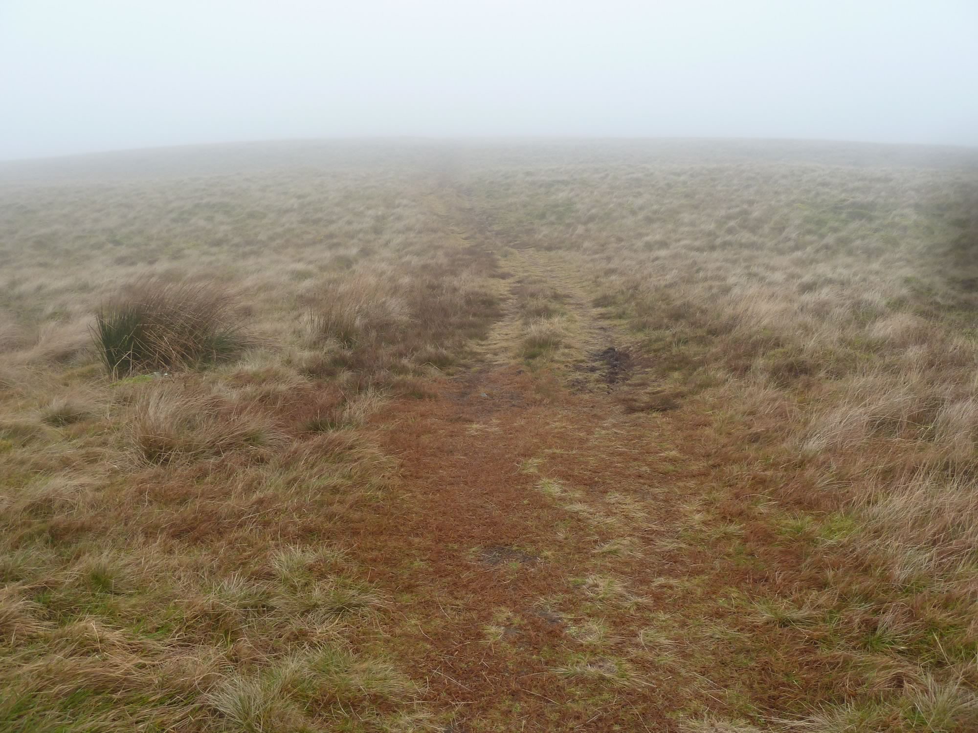
Walking in heavy fog used to scare the living daylights out of me, but now I love it. Alas, this time the fog never got as thick as we’ve had it on other occasions when we could hardly see more than ten yards ahead of us.
11.19 – The Ochils disappearing in the low cloud
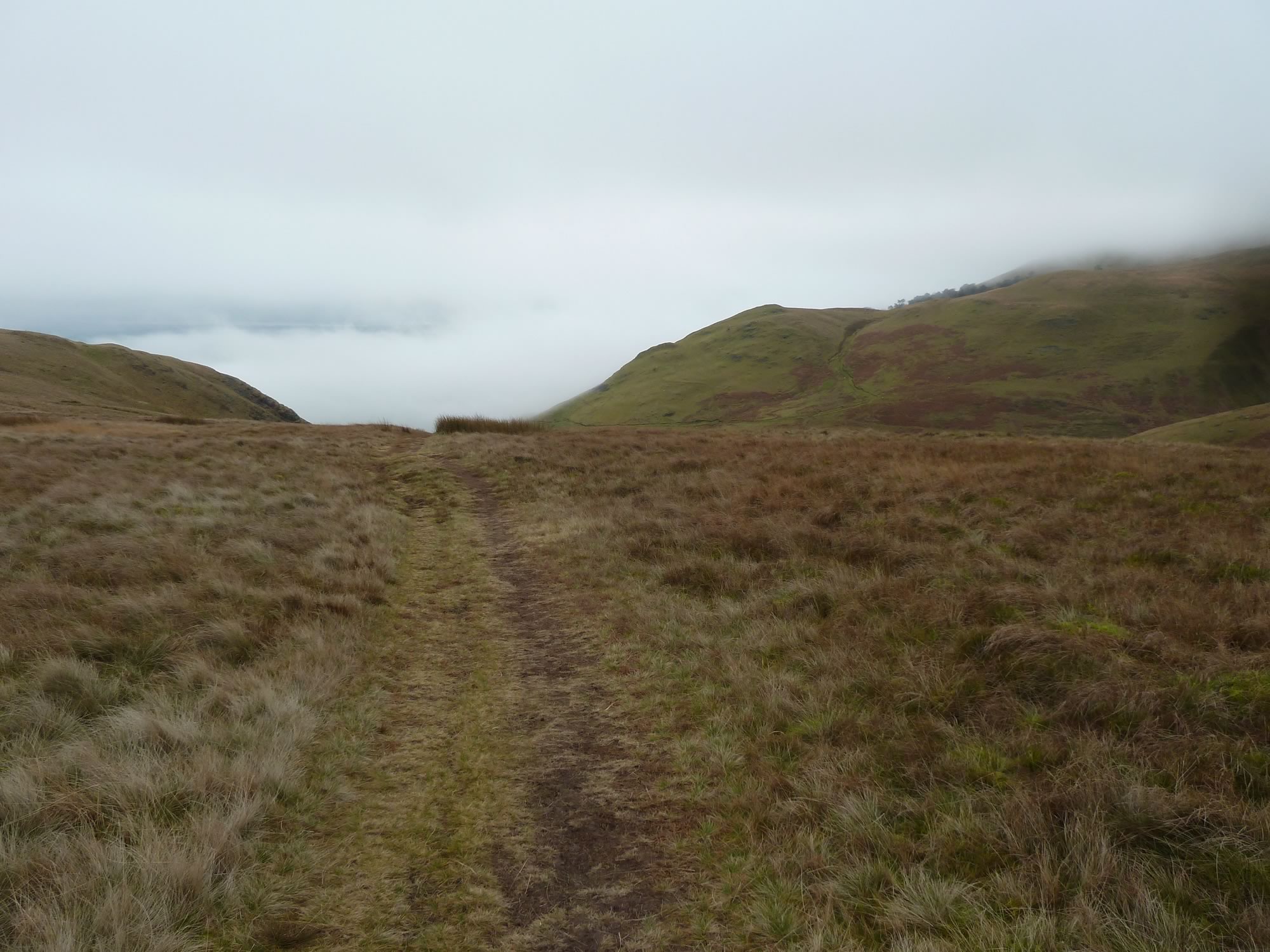
After the steep ascent at the beginning, we soon found ourselves walking on a gentle slope.
11.31 – The gentle and foggy ascent
Stopping for lunch
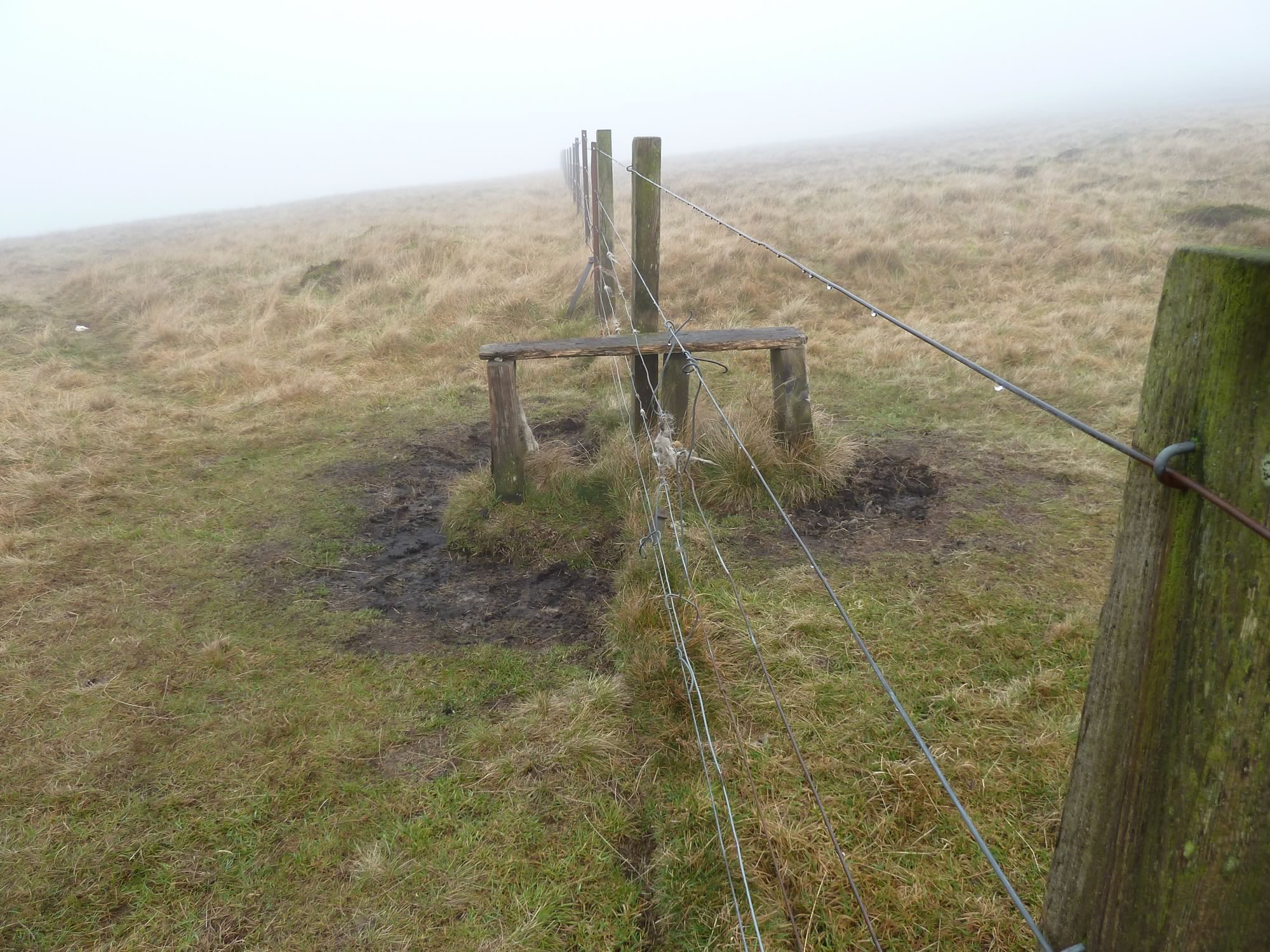
We had lunch by this rickety fence: blue cheese sandwiches, a new ginger cake, and redbush chai. It was like having tea at the Ritz, only better.
11.50 – A minimalist fence
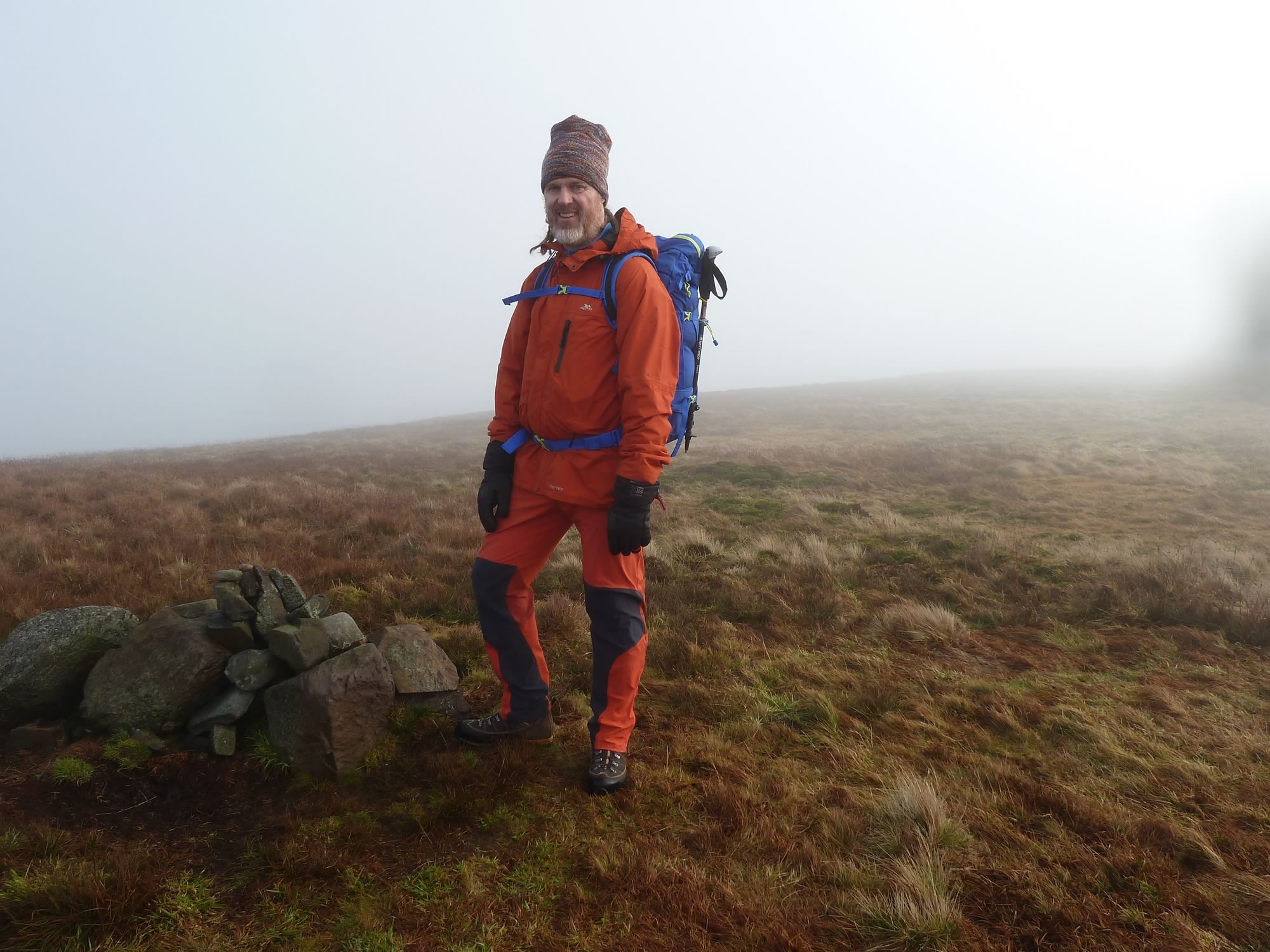
We climbed the fence and headed for the top of King’s Seat Hill. After about half an hour we stumbled upon this “sort of cairn”.
12.30 – Simon not quite at the top of King’s Seat Hill
At first, we weren’t sure whether it was the real top, so we kept walking. Eventually, we saw a bigger cairn in the distance.
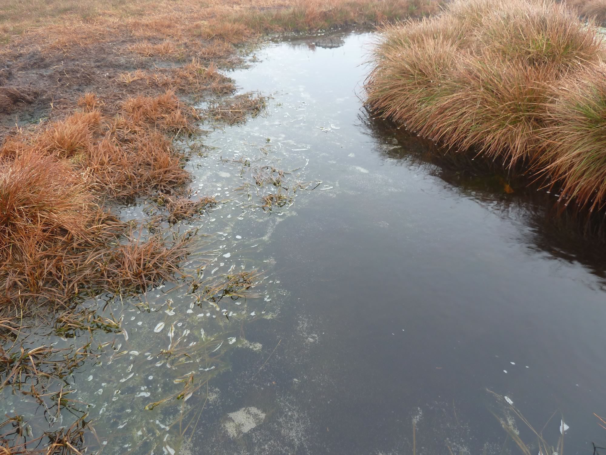
12.37 – A layer of ice beneath the watery surface
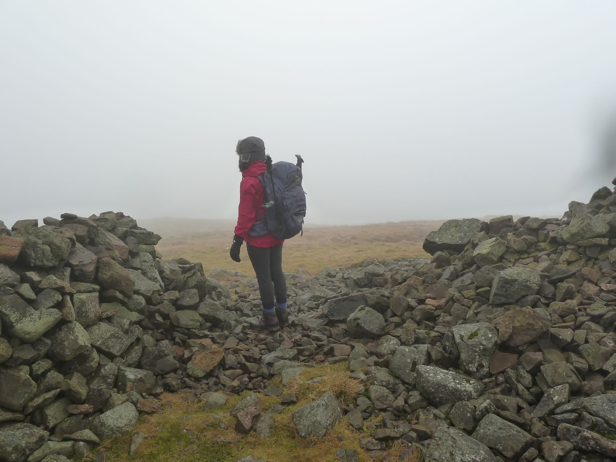
THAT was the real top.
For posterity, here’s the hefty rucksack I was carrying. Only, it doesn’t look that hefty on the photo.
This camera is so unfair.
Also, by now I’d somehow got used to the weight and it didn’t feel any heavier than three hours before, when we started.
12.39 – Maria conquering King’s Seat Hill (648m) *
The descent
If you look on the map above, you’ll see that some of the hills around this area have quite curious names: Ben Ever, Ben Buck, The Nebit, Whitewisp Hill … And my favourite: Wee Torry.
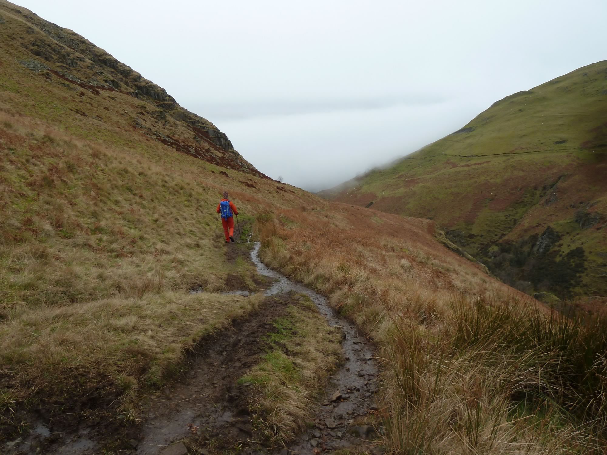
13.25 – Retracing our steps back down
Our start of this trip had been quite different from anything we’d done in the past.
After years of jumping on trains with our bikes to get to the hills, a couple of months ago we decided to join a car club.
We did that because there are quite a few places around Scotland we can’t get to by train, specially on single day trips. The Ochil Hills are one of them.
And so, we left Edinburgh in the club’s Hyundai. About an hour and a quarter later we arrived in Tillicoultry, a town in Clackmannanshire, just over 10 miles from Stirling on the A908. According to Wikipedia, Tillicoultry has a population of 5,221. We only saw three of them.
We chose this unimpressive town as our destination because it’s situated at the southern base of the Ochil Hills.
13.41 – Simon heading for Tillicoultry
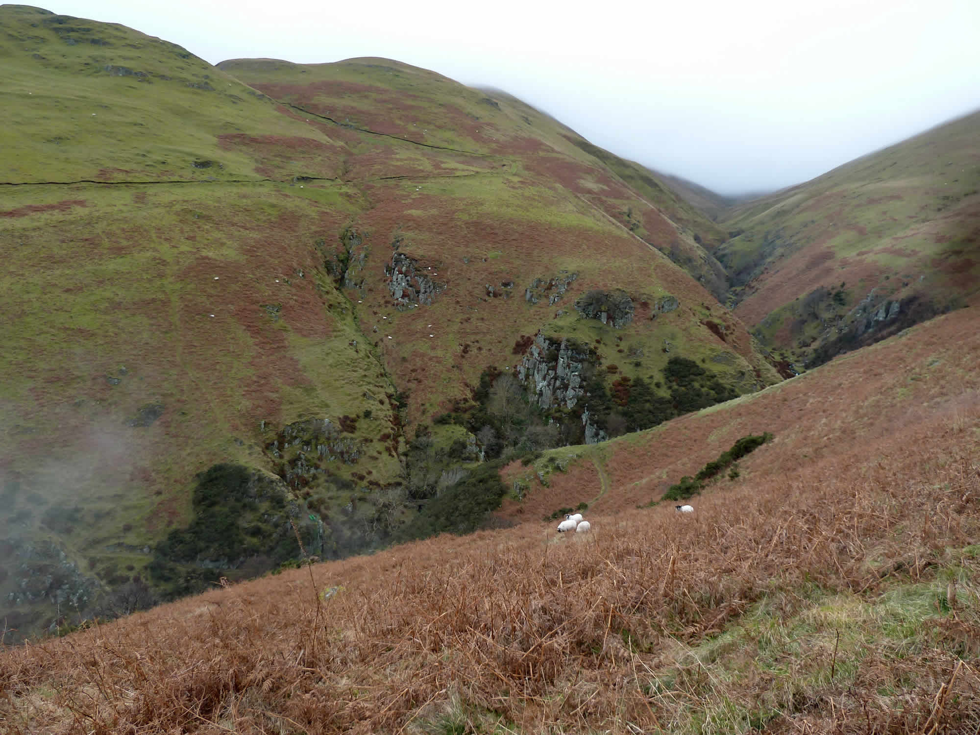
On our way down, the sheep were still here and there on the slopes, mostly minding their own business, and occasionally glancing at us.
13.51 – Four sheep & a partial view of The Law
When we got back to the car, we had plenty of time to spare, so we left Tillicoultry and drove to a nearby shopping centre that was supposed to have a couple of good outdoor shops.
We’d hoped to find some new tops, warm socks and other goodies, but we were out of luck and had to leave empty-handed.
Our future plan
Going up King’s Seat Hill in the Ochils was a great choice for a day out. We’re going to come back and do some of the other Ochil Hills before the Lairig Ghru in May, no doubt with heavier rucksacks.
I took all the photos with the Panasonic.
* Simon took this photo.
