Ride to the marshes: map & data
Total climbing: 1271 m
Total time: 06:43:28
There’s an imaginary 300m spike and drop on the graph above. Please, ignore it.
Exploring the area around Les Sables d’Olonne wasn’t part of the plan when we left Edinburgh two days before.
Our original idea was to laze around until we got to Douarnenez the following week. But, as we were walking to our accommodation when we arrived on Friday, we saw a bike hire shop, and then another. So we said: “Perhaps we could hire a bike for a day – or two”.
But the bike hire price for the week was almost the same as for a couple of days. Also, by then, we’d seen cycle paths all over, and the bike-only streets, and we’d spotted on the map all the places we could go to on two wheels.
Off to the marshes
So we got two bikes for the whole week, and off we went to the marshland north of Les Sables d’Olonne, on this beautiful summer’s day.
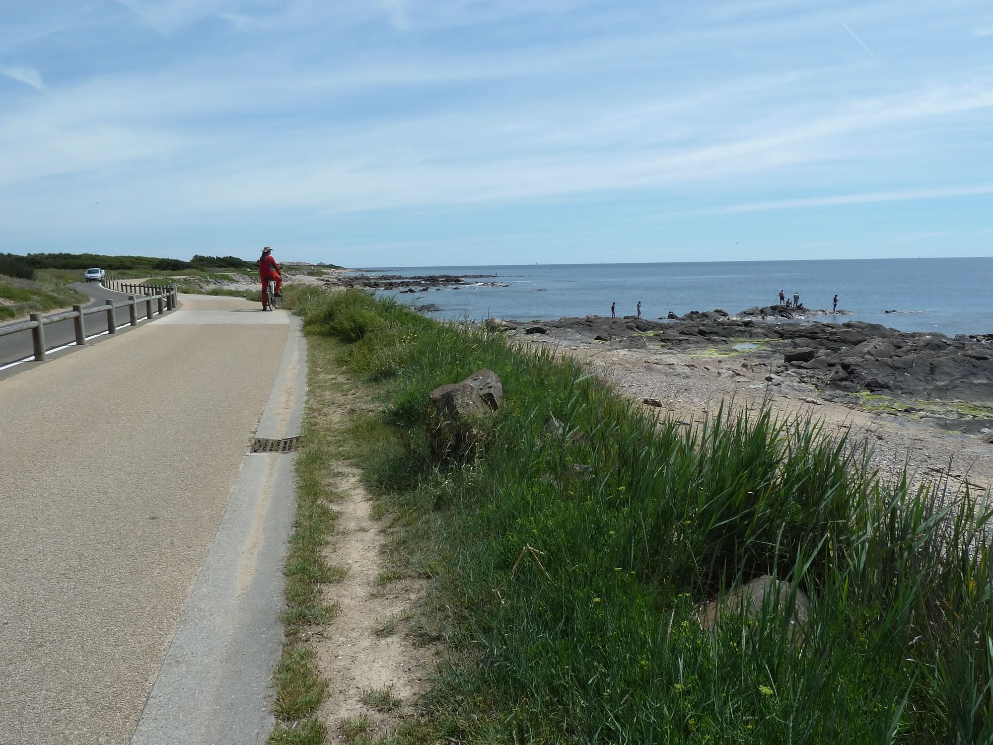
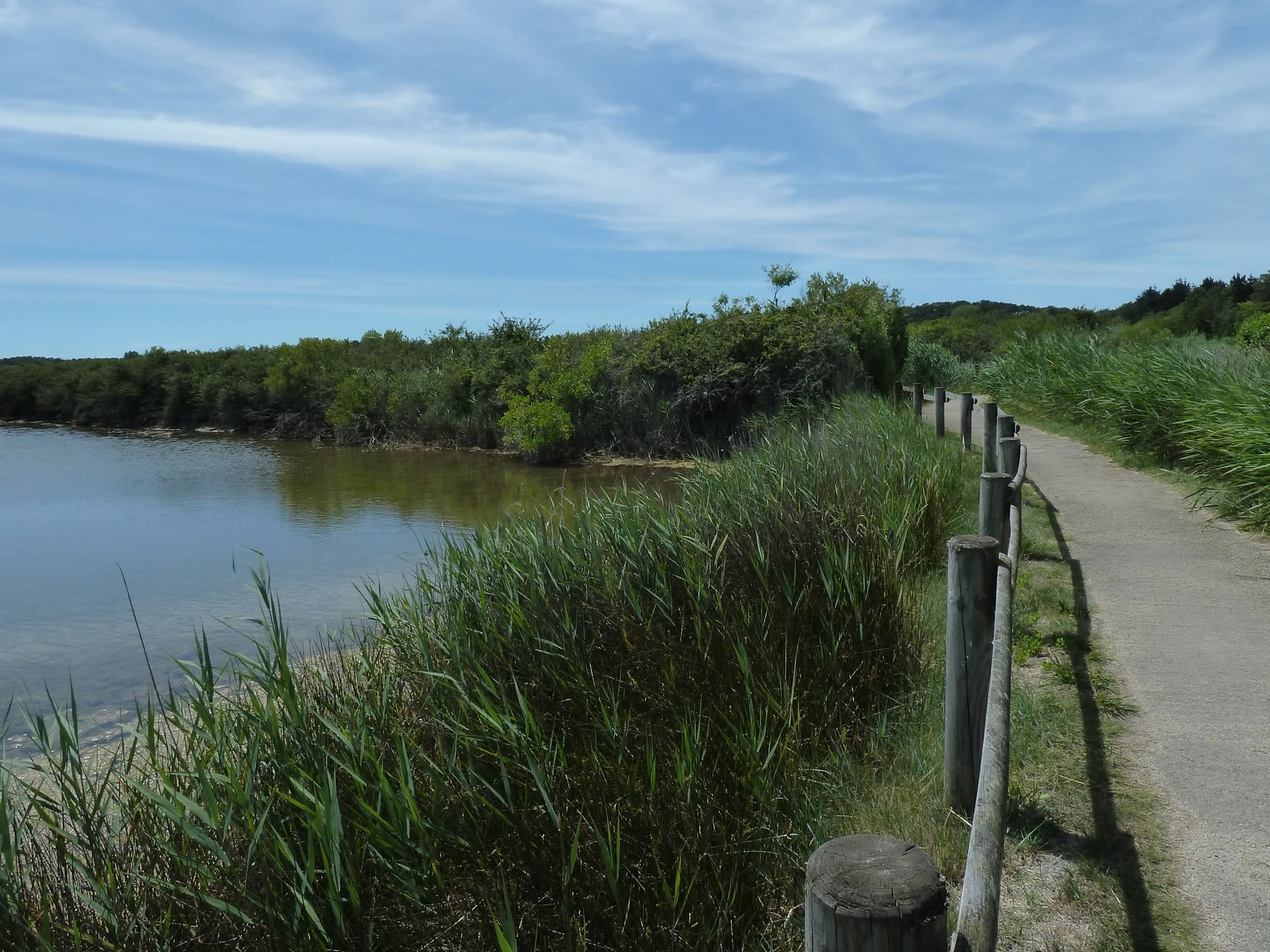
Our superb cycle path
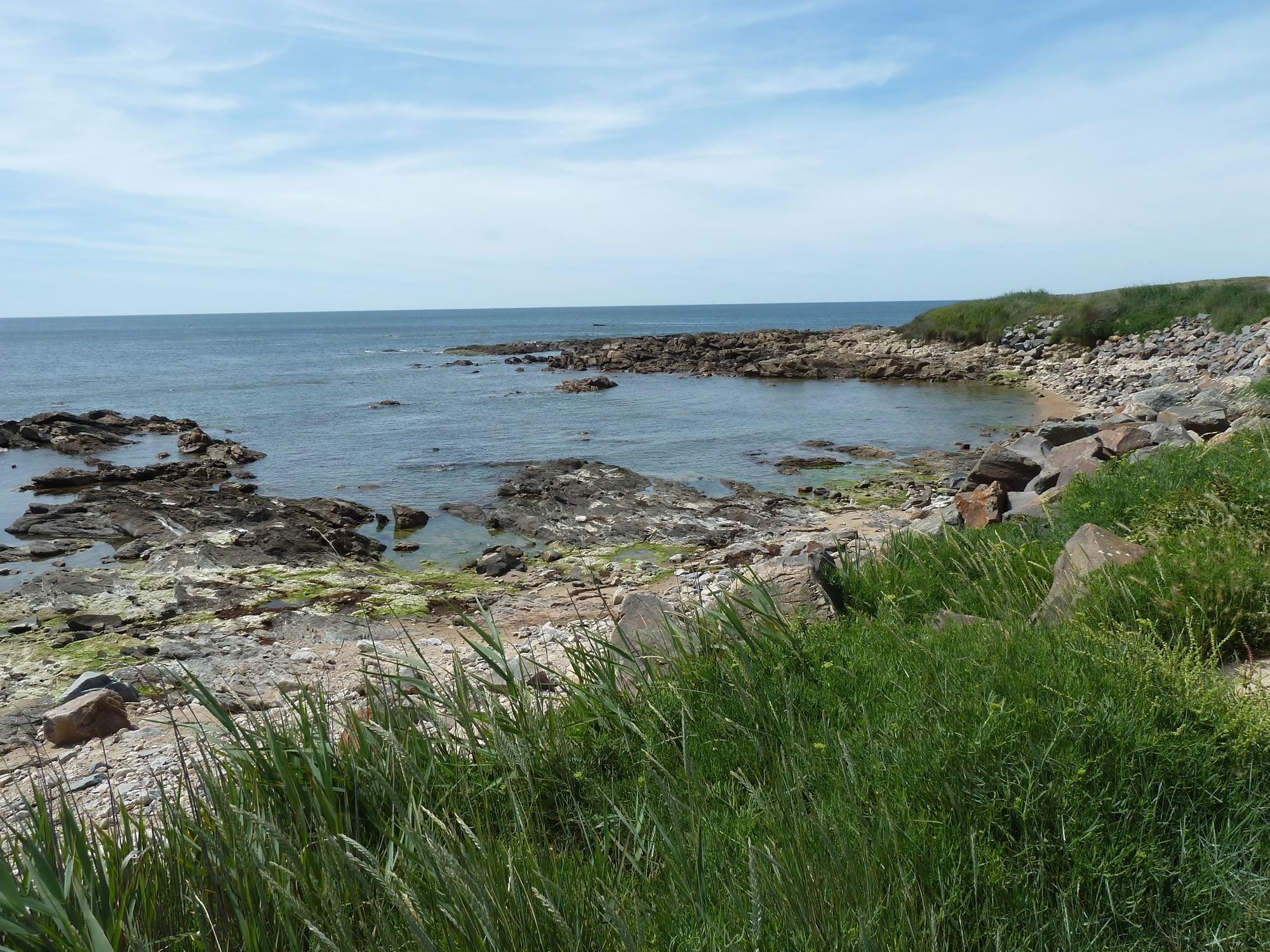
To get there we cycled along the rocky coast for a bit. Looking at this photo, it now reminds me of what we’d see in Brittany a week later, but at a modest scale.
One of many rocky spots in the area
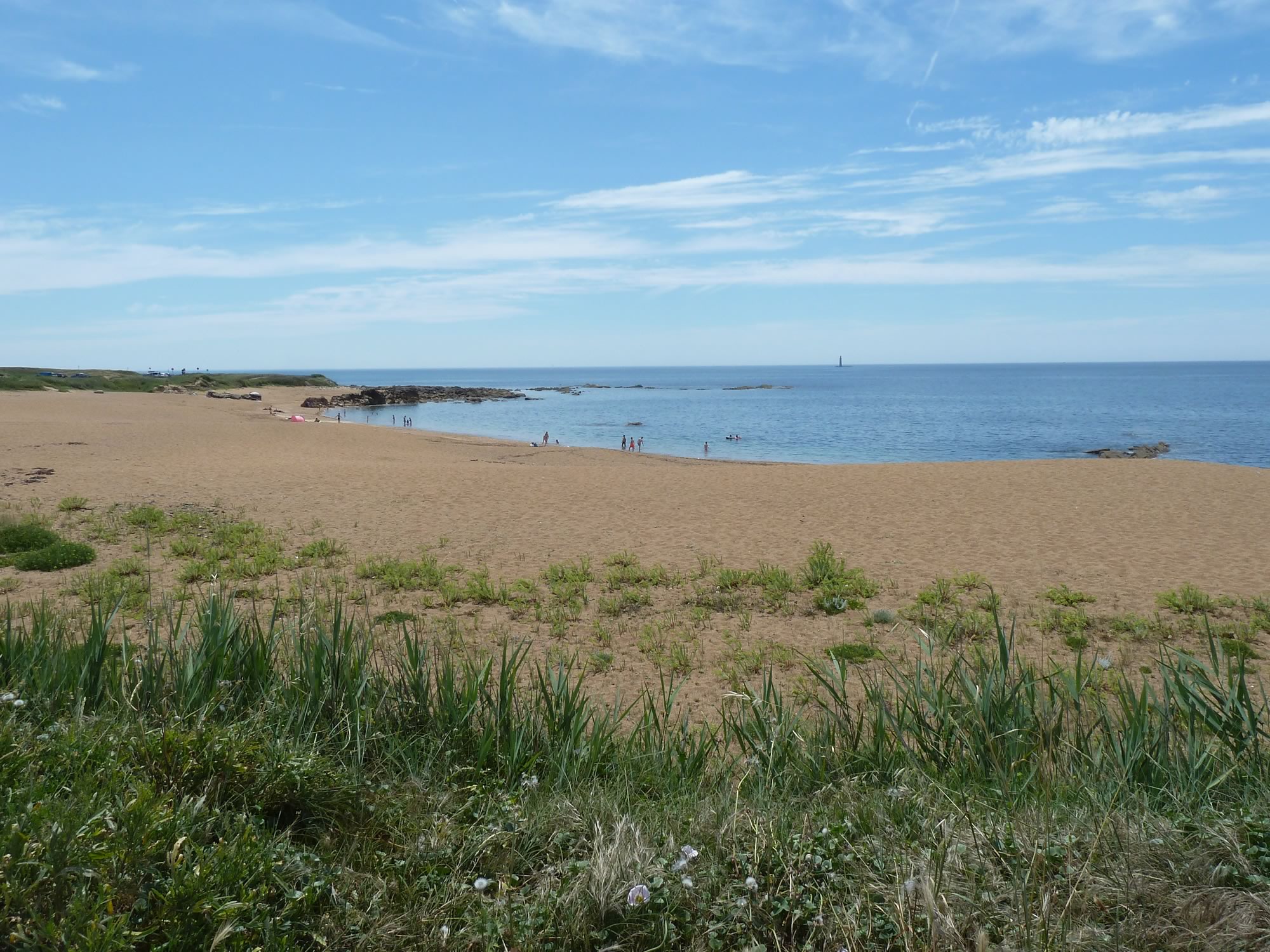
We also cycled past a couple of sandy beaches, and a few swimmers roasting under the sun.
Plage de l’Aubraie, just outside Les Sables d’Olonne
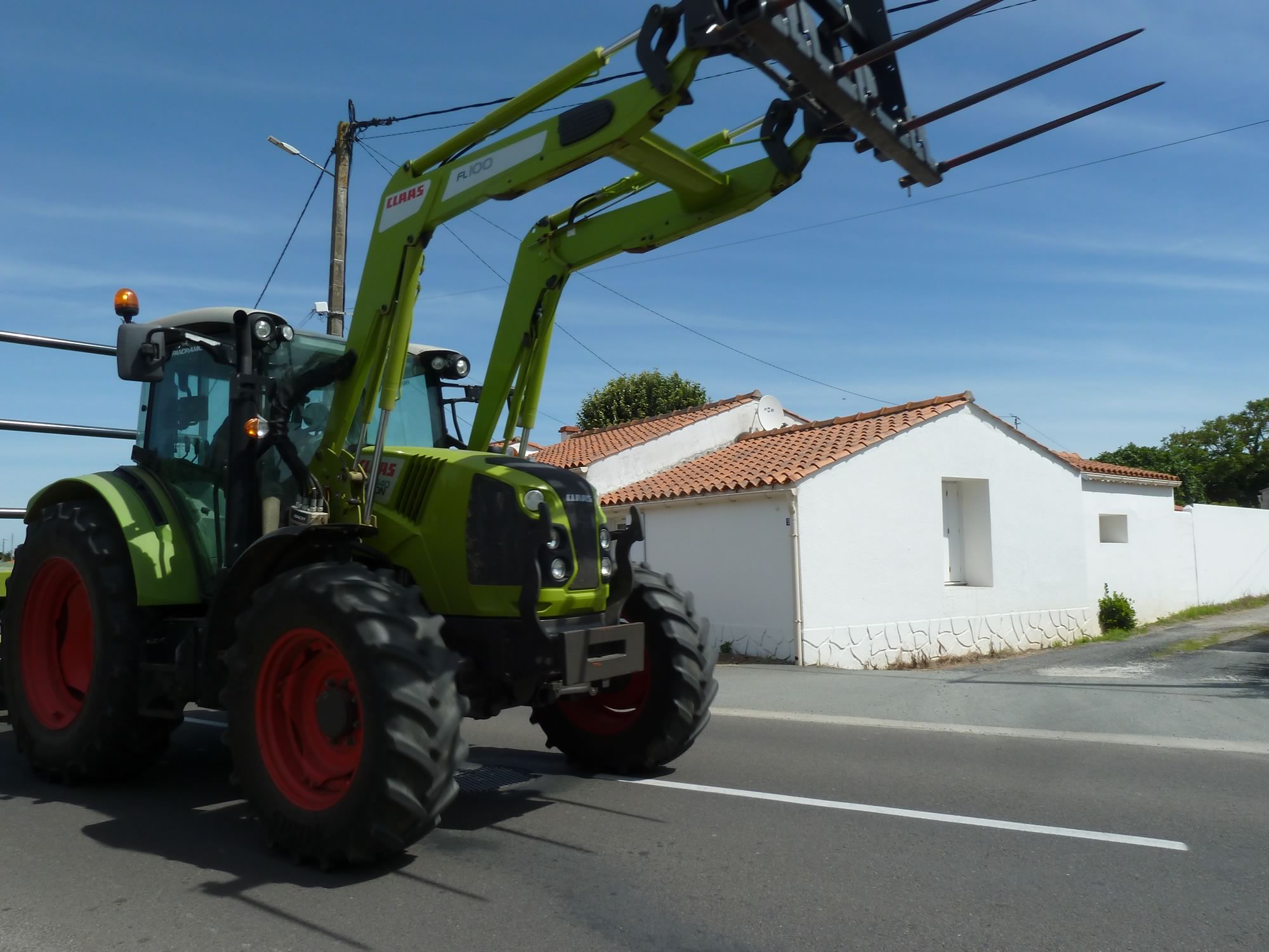
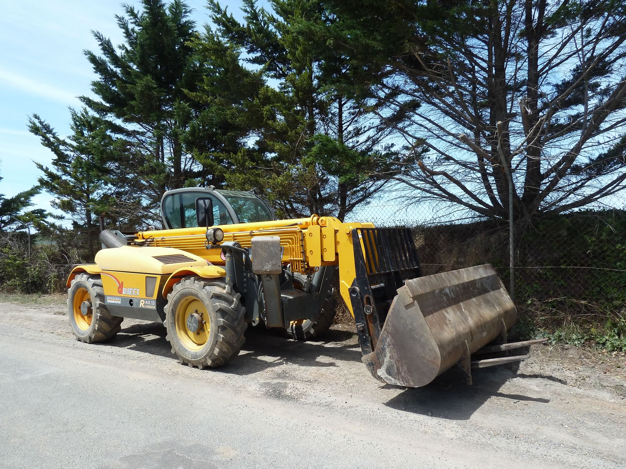
It wasn’t long before we came across one of my favourite vehicles. I wonder how many of those toys feature on this blog by now. Obviously, not enough.
A splendiferous French toy
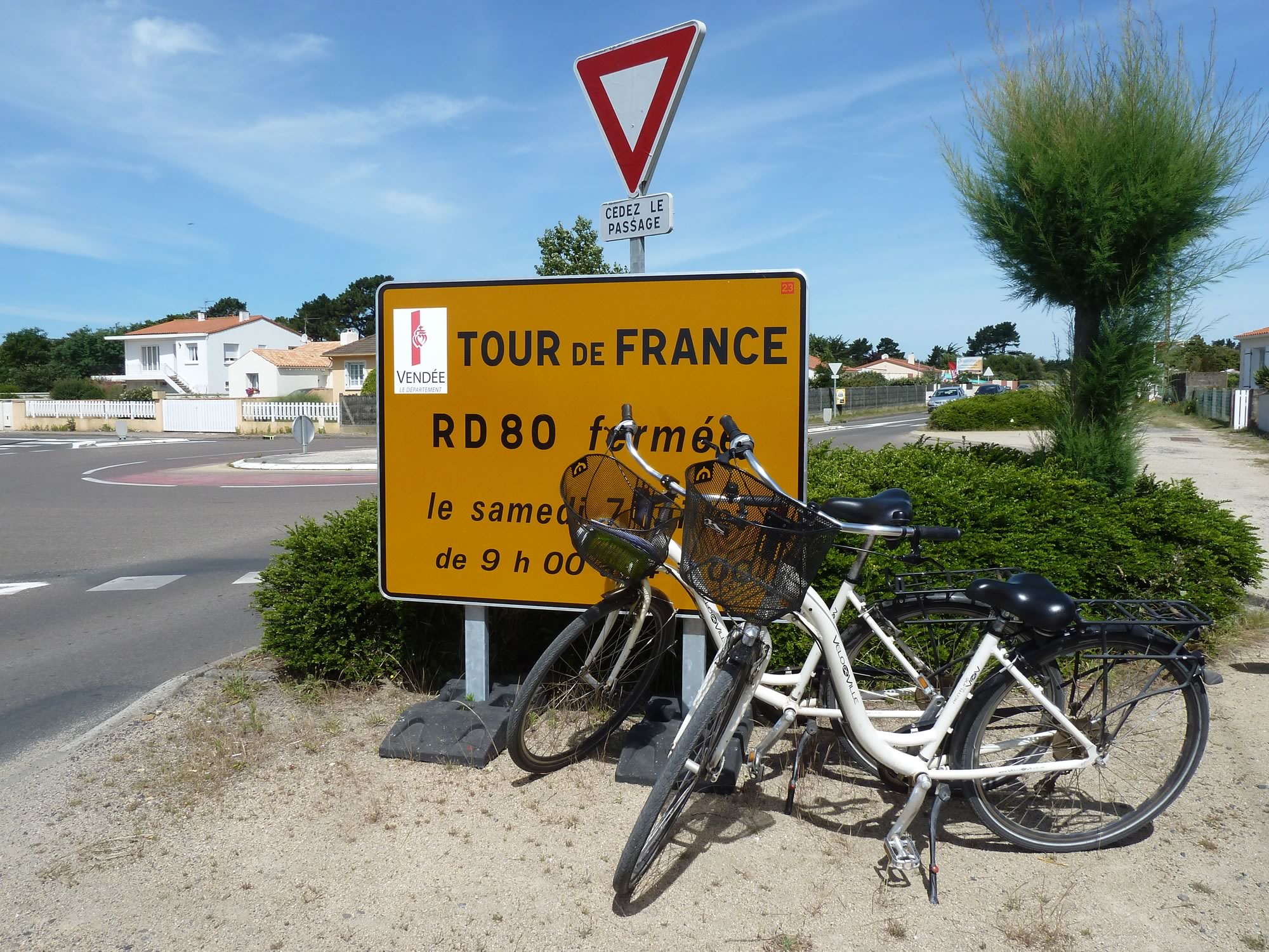
Just before we got to the marshland, we stopped by this sign to immortalise our bikes.
The Tour de France was due to start not too far from here on 7 July. Do they let you join with a team of two on a granny saddle?
It’d be a lot more fun for the spectators.
On the right spot, two weeks too early
The weather forecast was for sun all day, coupled with no wind, and no chance of rain.
We sprayed on our factor 50 sun cream and, instead of helmets, wore our explorer hats. Between the sun cream and the hat, I was drenched in perspiration by the time we left Les Sables d’Olonne.
I couldn’t care less, though. I was a happy bunny on a French bike.
Simon showing off his cool hat
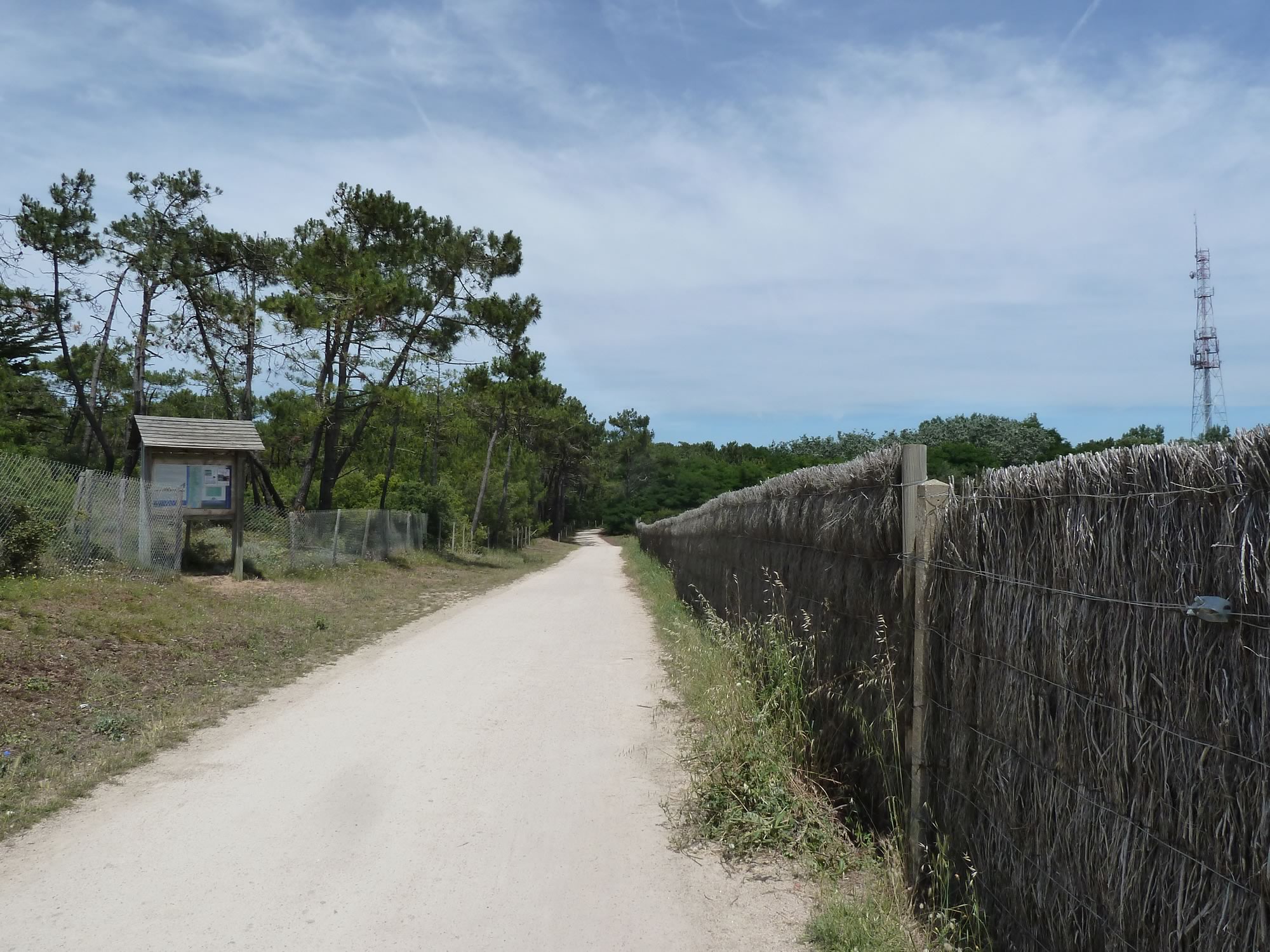
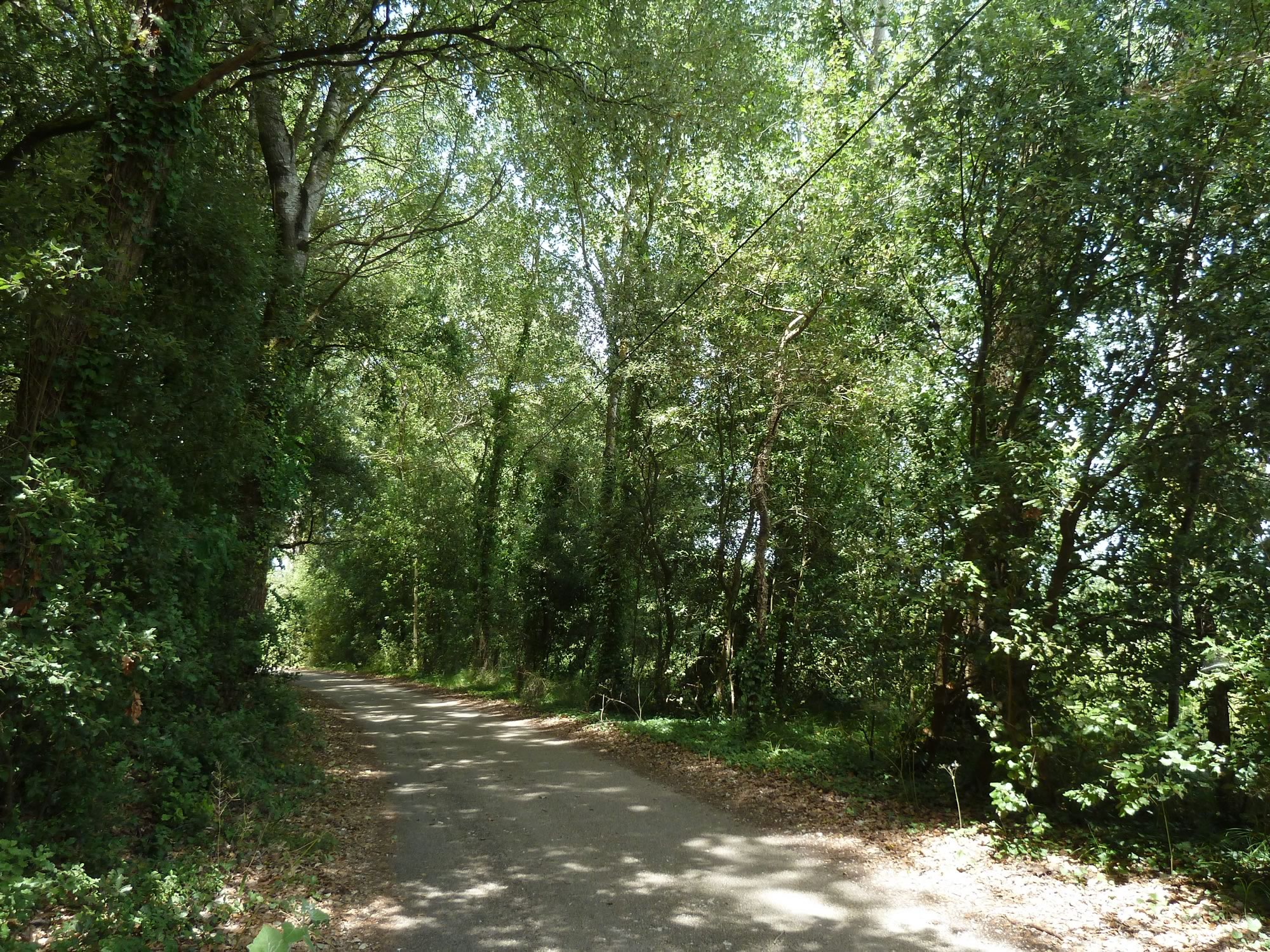
Before you get to the main marshland area, there’s a patch of forest, and that’s basically all the natural shade you get all day.
The hot path to the marshes
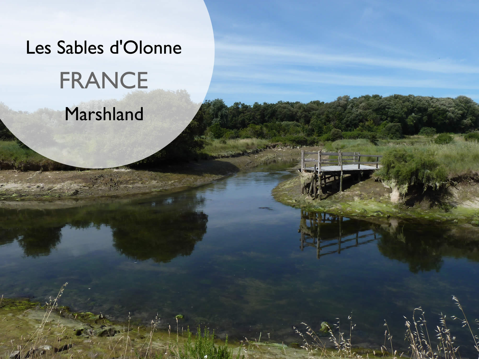
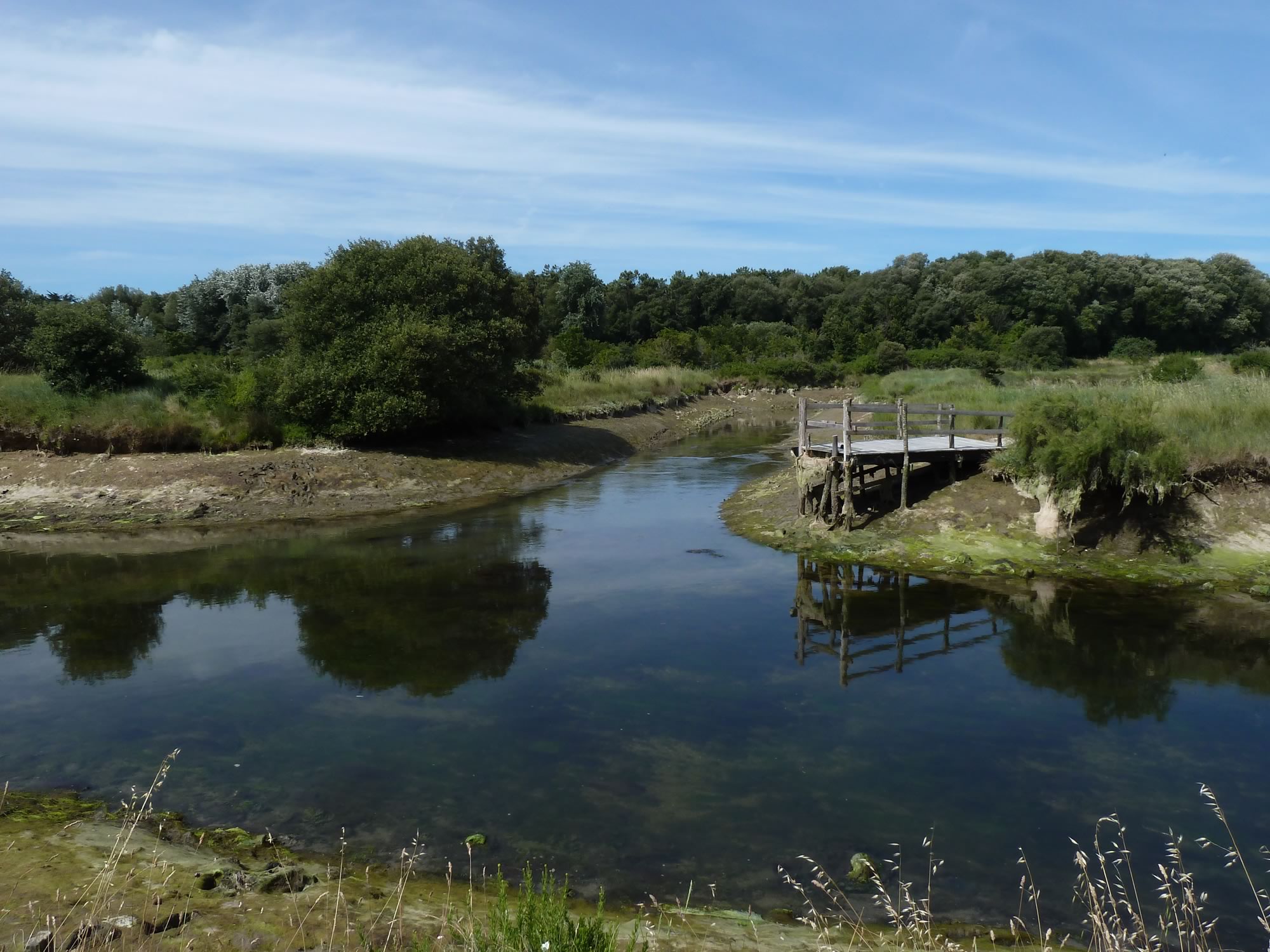
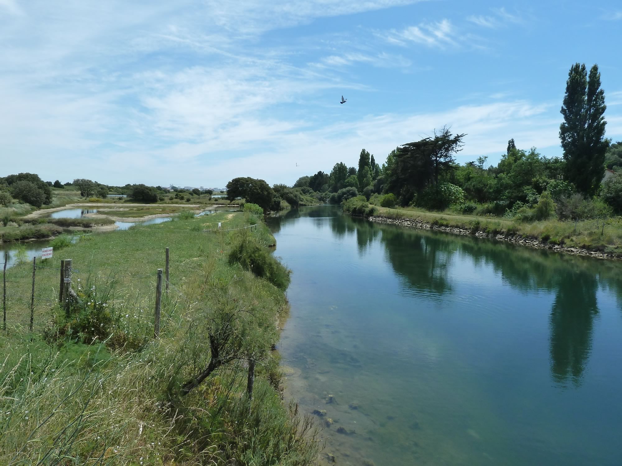
The sun hits the marshes and they often look strangely green.
One of many marshes in the area
Or not very appealing.
A less attractive marsh
Or spectacularly blue.
Passerelle du Marais Moizon
We’d left Les Sables d’Olonne with a just-in-case packed lunch, but mostly hoping that we’d find a nice little restaurant somewhere near the marshes.
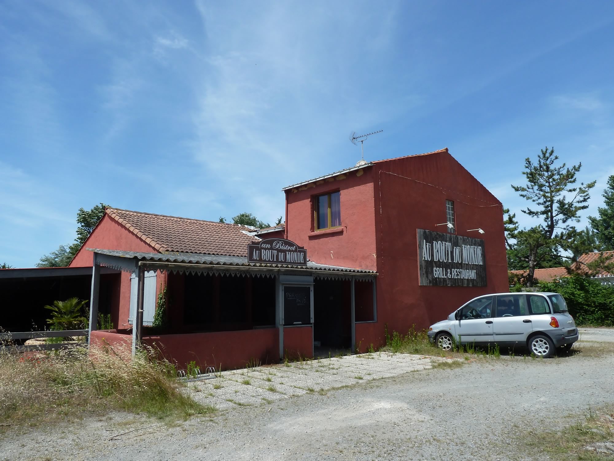
Soon we saw a sign for the bistro “Au Bout du Monde”, and got all excited. Grilled scallops, barbecued ribs, a juicy steak, I was picturing them all in my mind when we arrived at the spot.
But alas, the place had been abandoned and was no more. The juicy steak would have to wait.
A fabulous lunch that never took place
We cycled back into the forest area and had our not-very-French lunch in the shade.
Looking for an alternative lunch spot
These marshes north of Les Sables d’Olonne used to be a sea salt production area since Roman times.
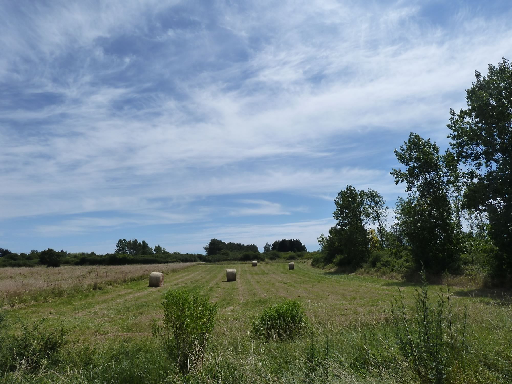
Today, only a few of the marshes are salt marshes, the rest are a refuge for a wide variety of plants, fish and birds. The whole area covers hundreds of hectares, and everywhere you go there are paths crisscrossing the marshes.
More marshes
One place worth visiting when you’re in the marshes is the Bird Observation Hut.
It’s a wooden structure that gives you not only a well deserved shade, but also a great view of many of the birds that nest in the area.
According to the information board, these are some of the birds you can see: northern pintail, common tern, common kingfisher, peregrine falcon, dunlin, European golden plover, and many more.
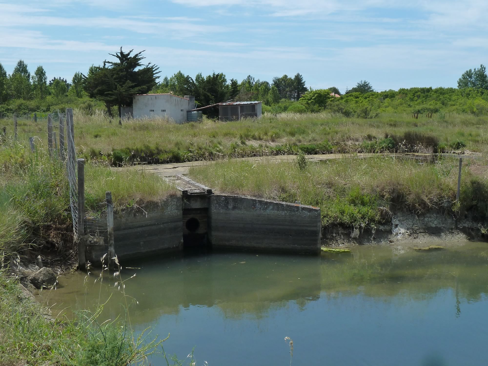
A farm next to the bird observation hut
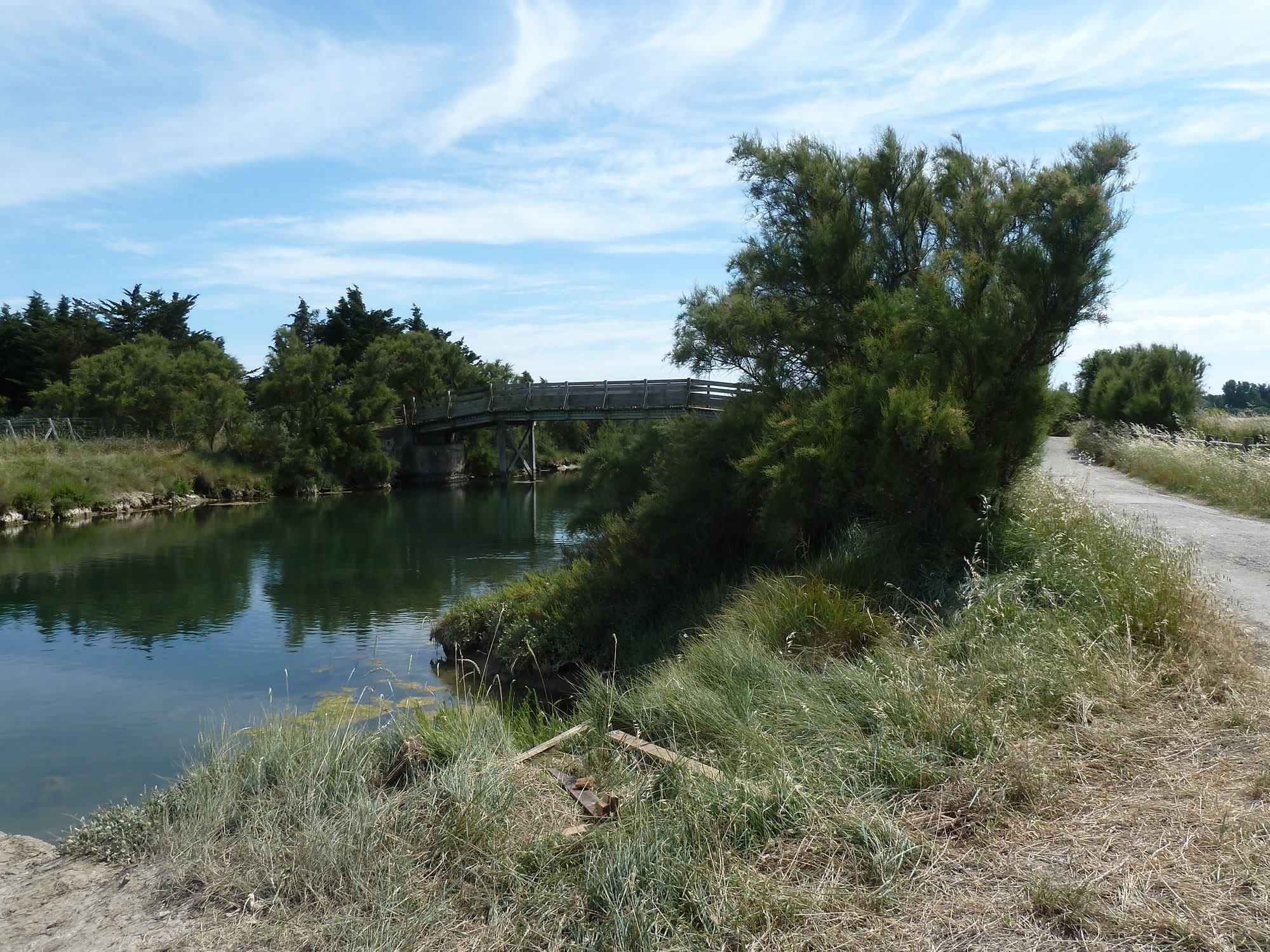
Most of the marshes are privately owned and are now fish farms. Eel and mullet are the main species. If you get close to the water, you can see them swimming around.
Bridge over a marsh, and a cycle path
This was a great excursion with what at times looked like a surreal landscape, and the farm machinery made it even better. As you know, I’m a sucker for tractors and other toys.
By the way, if you’ve noticed the spike and sudden drop on the map above, ignore it. For some reason our gps decided to draw it, but in reality it never happened. By our standards, this area is as flat as a pancake.
Another splendid toy
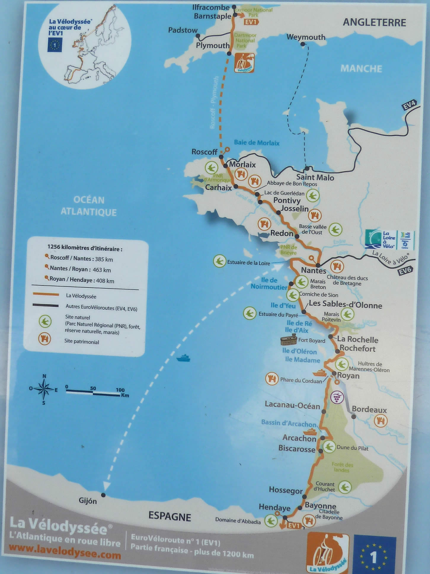
Looking at the map we discovered that the fantastic cycle route we were on is called “La Vélodyssée”, and we’d only covered a tiny stretch.
The whole route is 750 miles (1200 km) long and goes from Roscoff, in northern Brittany, to Hendaye, on the border with Spain. Apparently 70% of it is on paths with no cars.
Will we do it one day?
We can cycle all the way to Spain!
A few days later Simon had the afternoon off. We jumped on our bikes and went inland to a small town called Sainte Foy.
I took all the photos with the Panasonic.
