Hill walking from Braemar: map & data
Total climbing: 605 m
Total time: 05:23:13
7.5 mile walk, 5h30 from 10.45 to 16.15 – average 1.4 mph
Our original plan was to climb one of the twenty-odd Munros that are within driving distance of Braemar.
Alas, after our epic drive from Edinburgh the day before, neither of us fancied the thought of getting in the car and fighting the snow on the road. We’d had enough of that for a while.
Off to climbing in the winter sun
That’s why we did some replanning and headed for Morrone, a 859 m (2818 ft) Corbett within walking distance of Braemar.
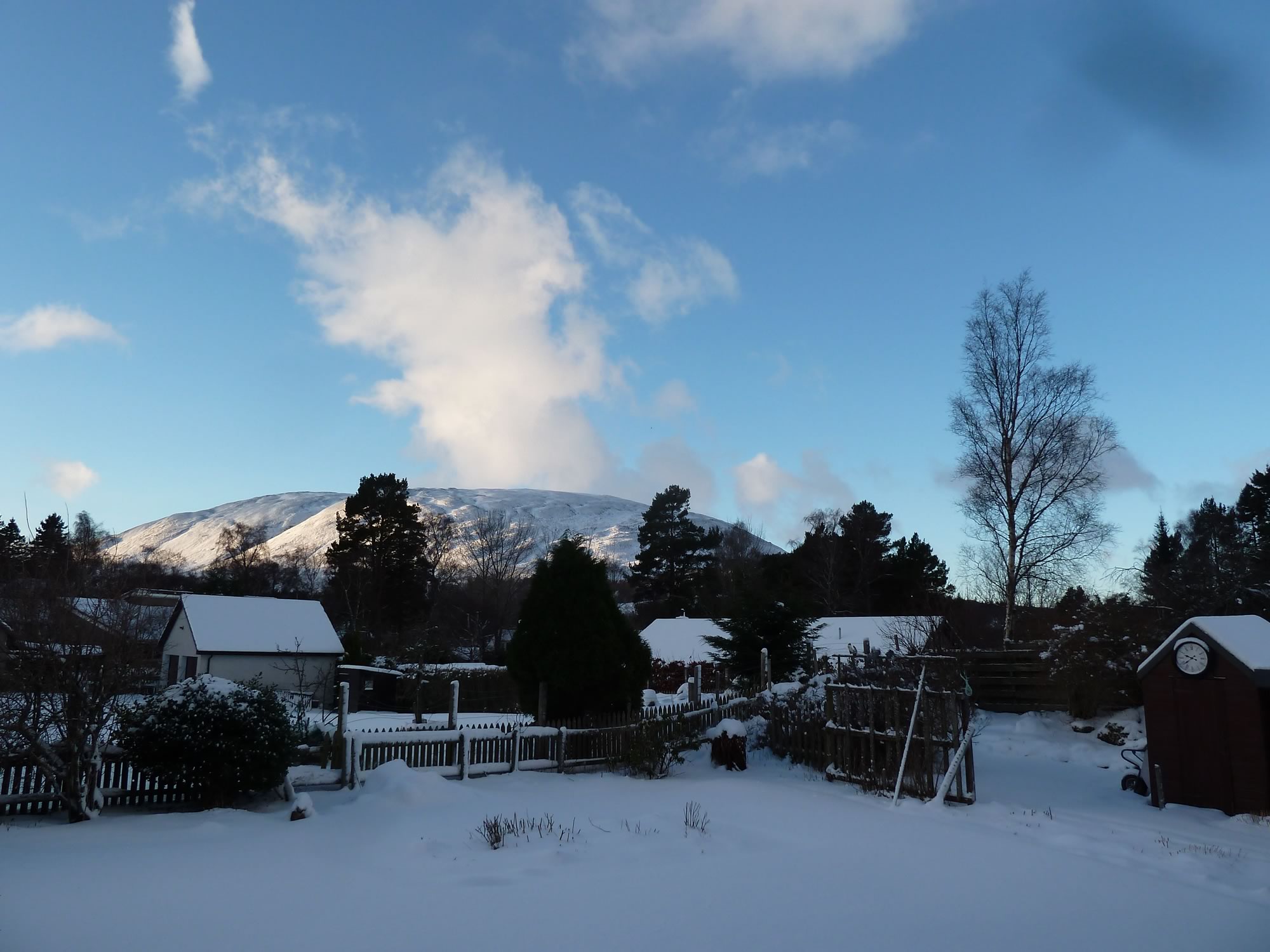
8.58 – View of Morrone from our rented house
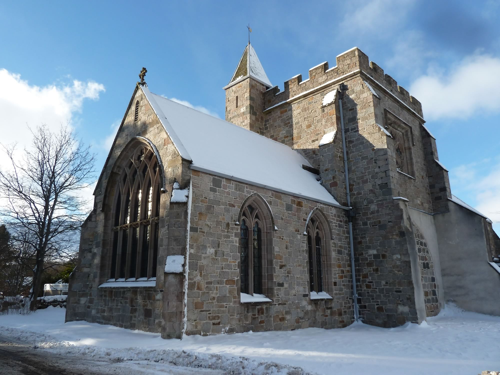
We set off on foot from our rented house and walked past the church.
10.45 – Braemar church in the snow
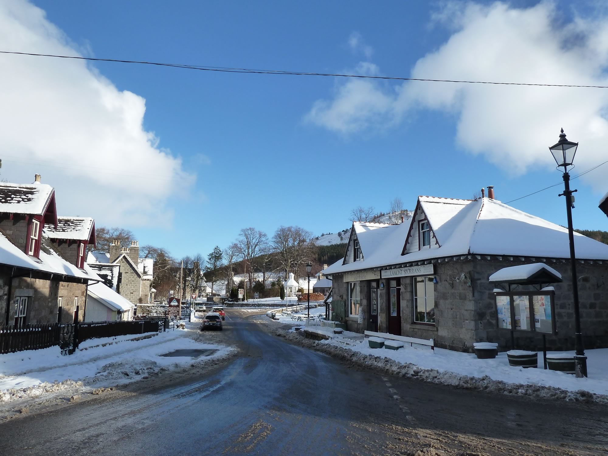
Then we went down towards the centre of the village.
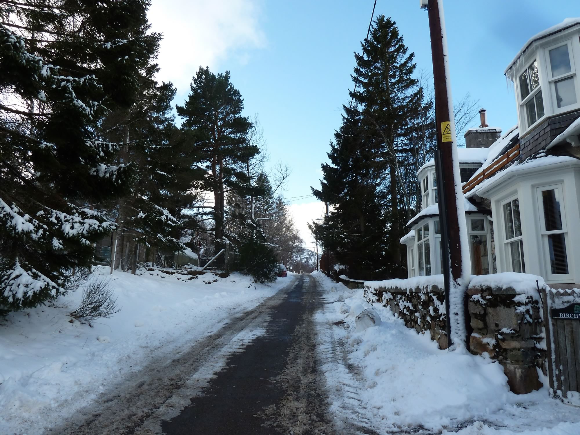
10.48 – One of the main streets in Braemar
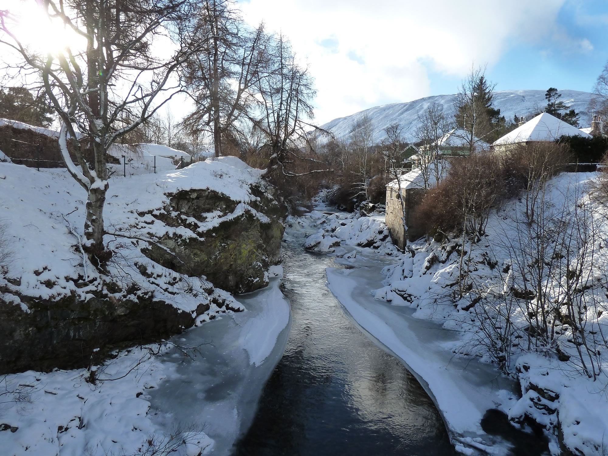
We crossed the bridge over the Clunie Water, the tributary of the River Dee that runs through Braemar. The ice on the banks looked like white beaches.
A bit about Braemar
10.49 – A rather frozen Clunie Water
Braemar is a peaceful village in Aberdeenshire (Scotland). It’s roughly 58 miles (93 km) west of Aberdeen, and has a population of about 800. This is how you pronounce Braemar: /breɪˈmɑː/.
11.02 – Leaving Braemar
Morrone has a bulging profile, hence its name, which means “Big Hill” or “Big Nose”.
I’ve also just learned that Morrone is the only significant climb in Scotland that starts from a village.
11.08 – Heading for Morrone, the Corbett
Today I’ve also learned that Braemar is the 3rd coldest low-lying place in the UK. The lowest temperature ever recorded in the UK was here in 1895 and 1982, at a glacial -27.2º C.
Both times it was around this time of year.
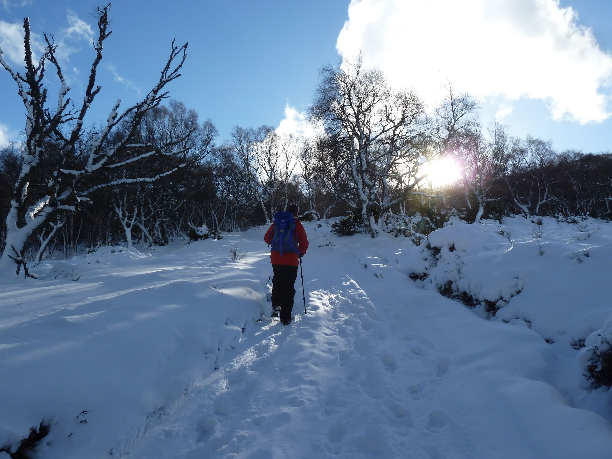
11.16 – Simon on a mission to conquer Morrone
In theory, Braemar is about three hours from Edinburgh by car. That’s when you don’t hit a snowstorm and the roads become impassable, like it happened to us.
Ours was an eight hour odyssey that left us with no desire to hit the road other than on foot.
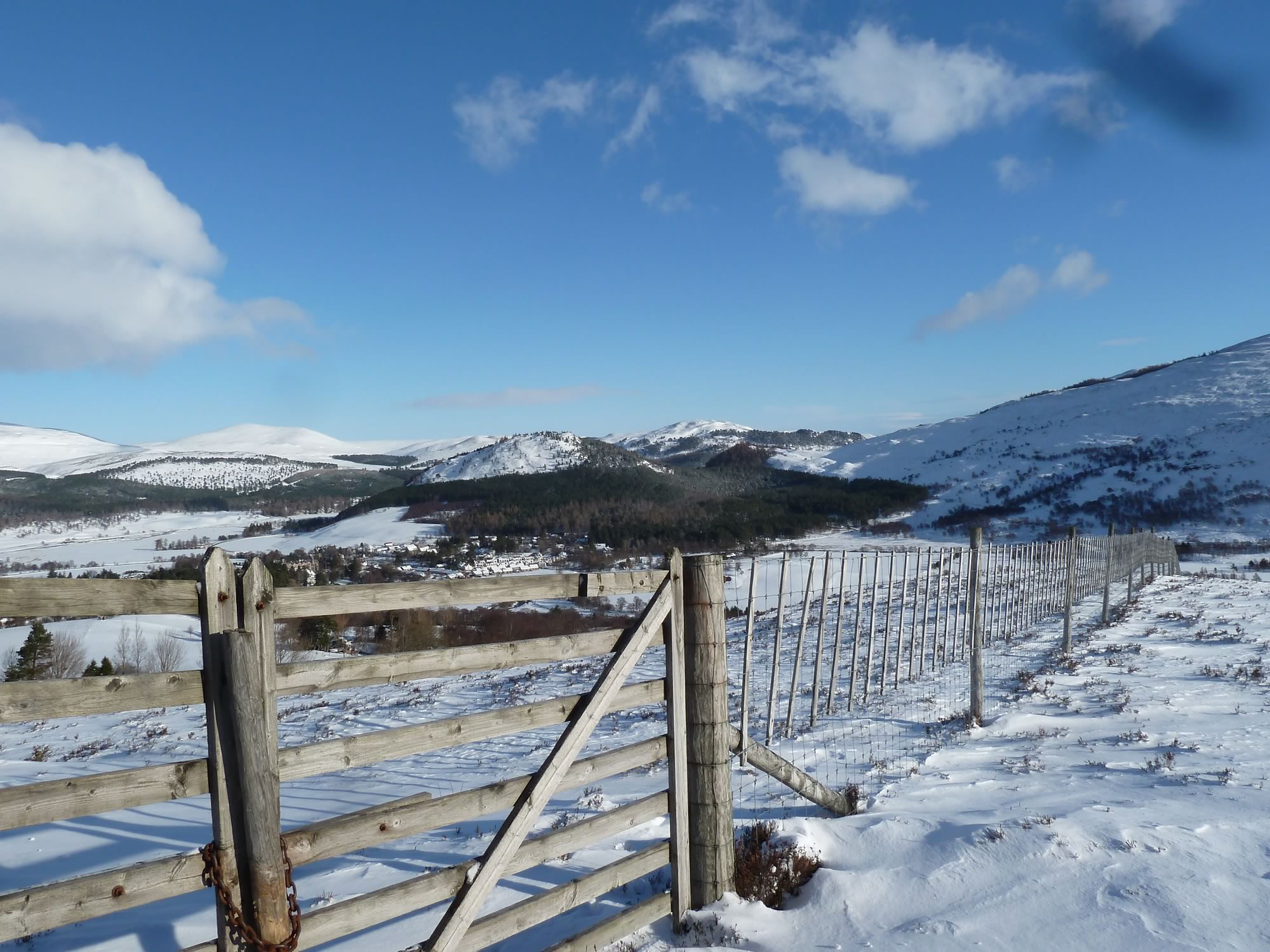
11.36 – View of Braemar
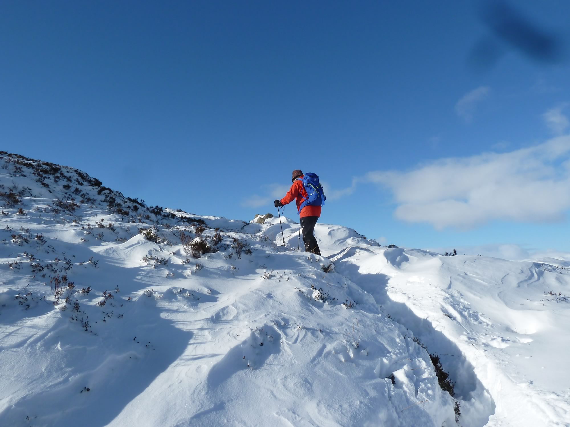
Braemar sits at 339 m, so the climb isn’t that hard, but the steepest part is at the beginning.
When you look on the map, the Morrone slopes are quite rocky in places. That’s why, even with the snow we had, we were unable to use our crampons.
Hopefully, we’ll be luckier in Laggan in a couple of weeks. I can’t wait to put on my crampons.
Getting to the summit
11.57 – Simon following an imprecise path
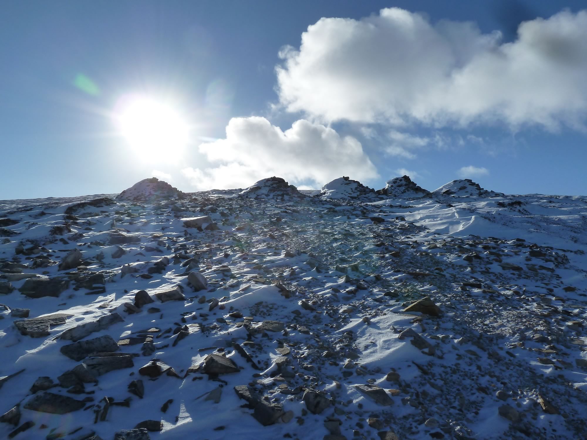
As you get closer to the summit, you come across these intriguing five “cairns”. According to what I’ve been able to find out, these five piles of rocks were brought here to improve the eroded path, but the project somehow was halted.
It’d be nice to have a smooth path but, I have to admit, the piles make a wonderfully surreal sight.
12.31 – The mysterious five cairns
The wind was starting to pick up. I could feel the biting cold in my hands and face and, for the first time in years, I could feel my legs too going cold.
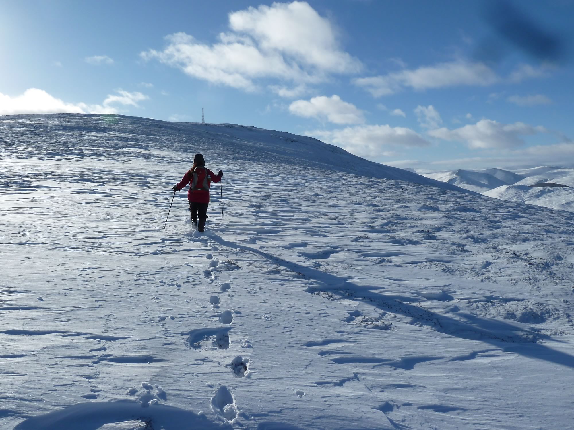
For quite a while, as you’re climbing Morrone, you can’t see the summit. Then, suddenly, there it is, with its unmissable mast sticking out with not much elegance.
12.37 – Maria heading for the radio mast *
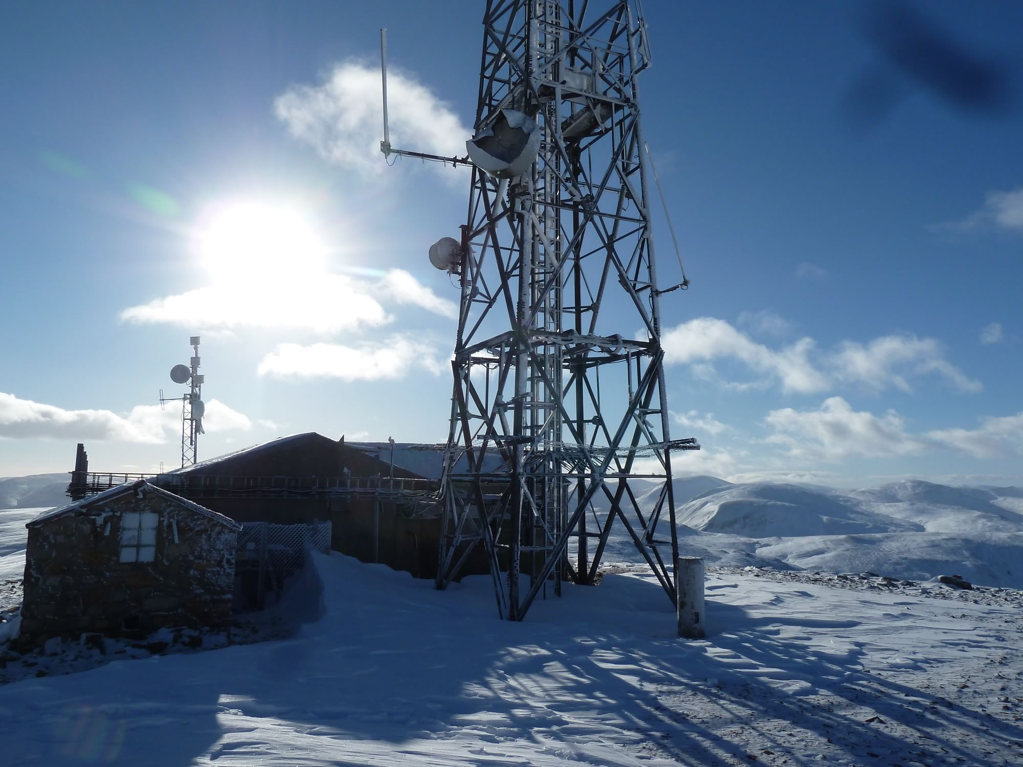
On the summit there’s a radio mast, a radio relay station for the local mountain rescue team, and there’s also a research station belonging to the University of Aberdeen. They date back to 1969.
The buildings are pretty ghastly, but they make a good windbreak.
13.02 – Radio mast & research station
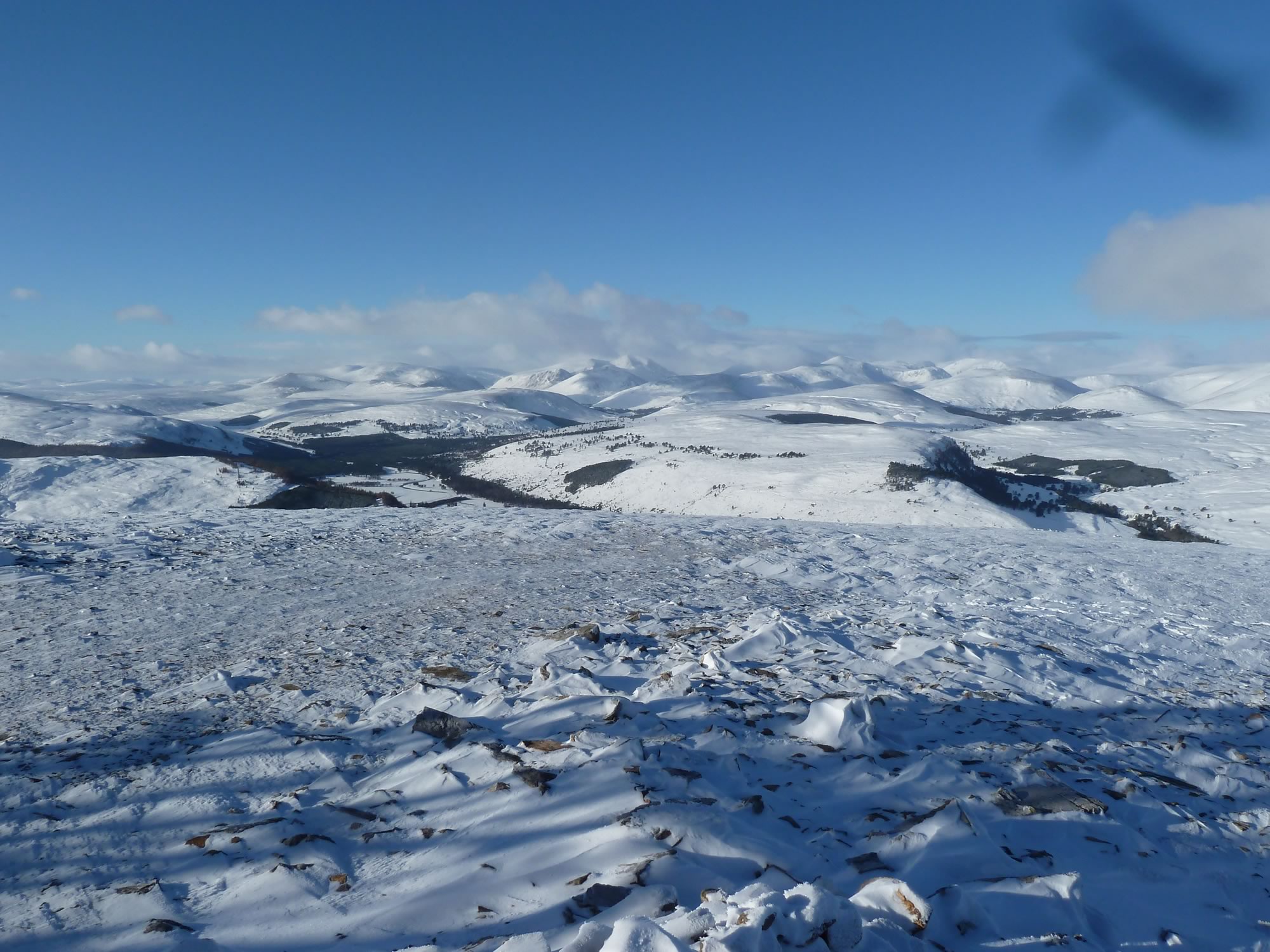
That breathtaking 360 degree view is well worth the climb. The Cairngorms looked spectacular in perfect visibility.
Looping back to Braemar
13.02 – The Cairngorms from Morrone
From the summit, instead of retracing our steps, we continued south and looped back to Braemar. You can see our route on the map above.
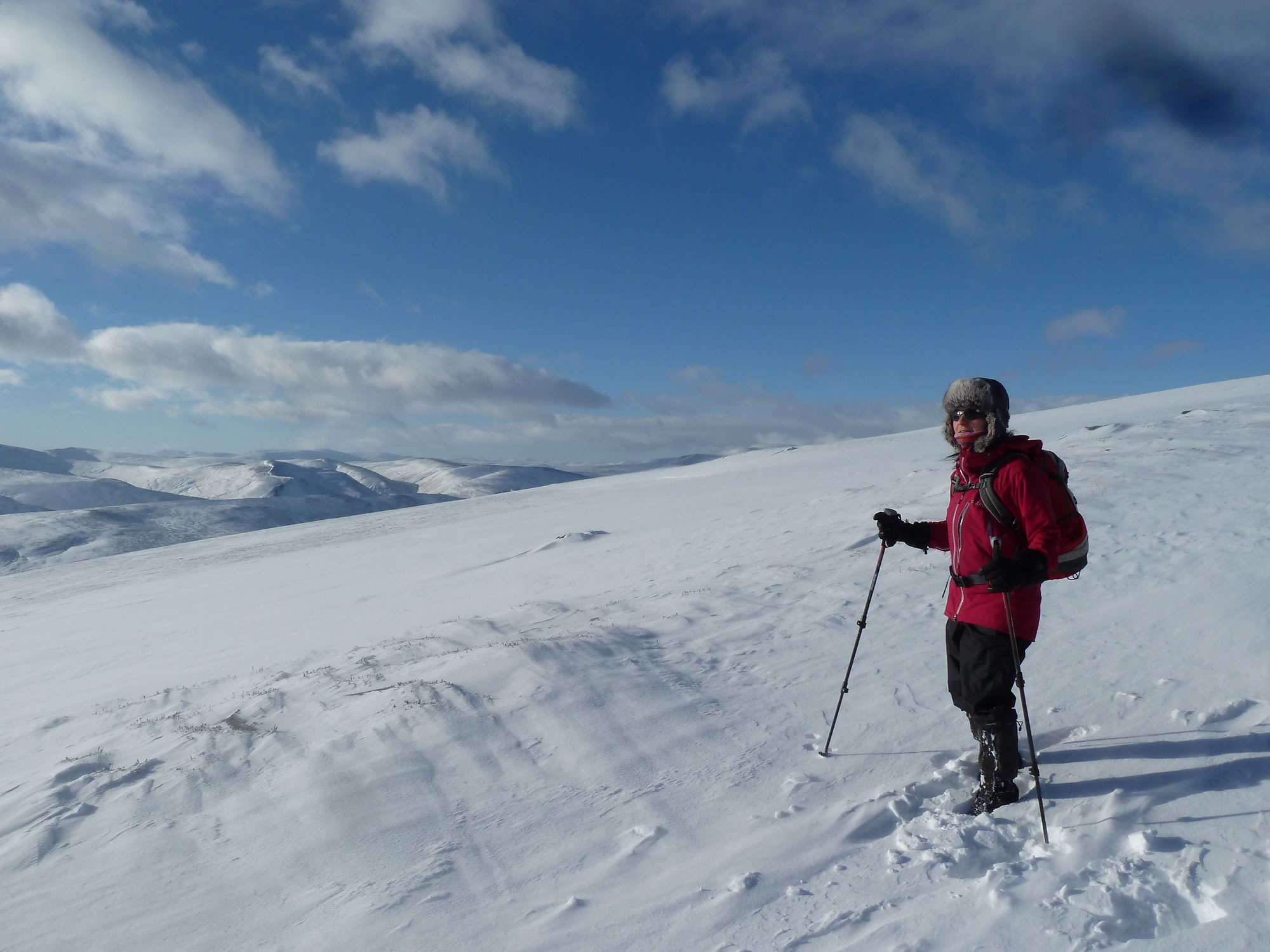
13.41 – Maria trying to look cool *
Morrone was busy with walkers, at least by our standards.
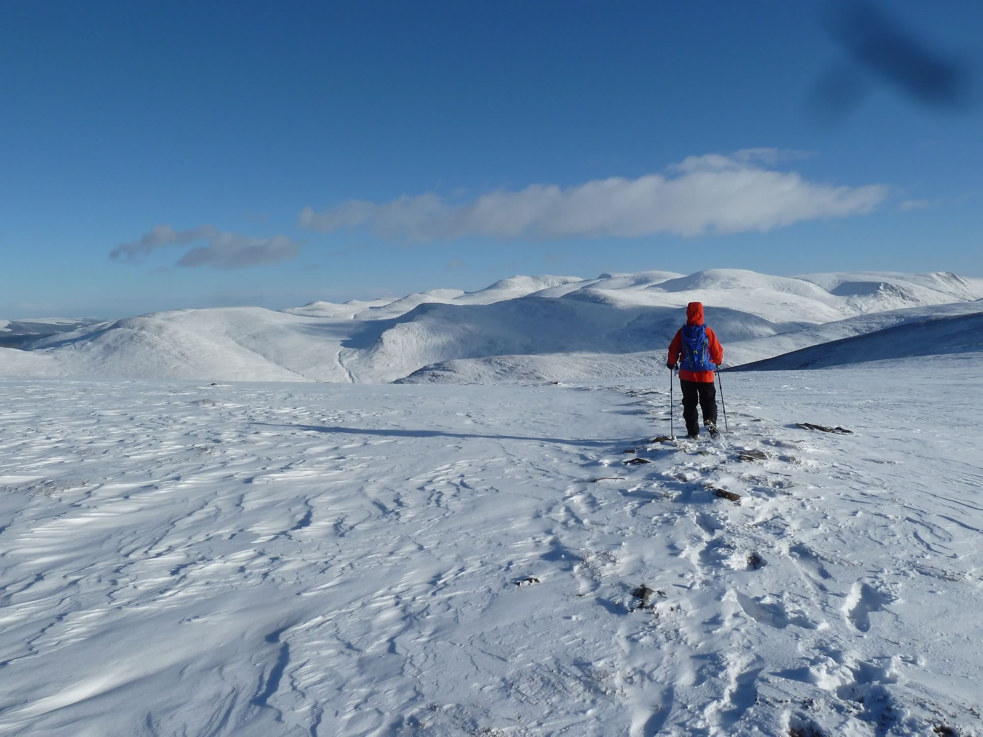
Without those local walkers making a fresh path ahead of us, it’d have been tricky at times to find the route.
13.48 – Simon on the long & gentle descent
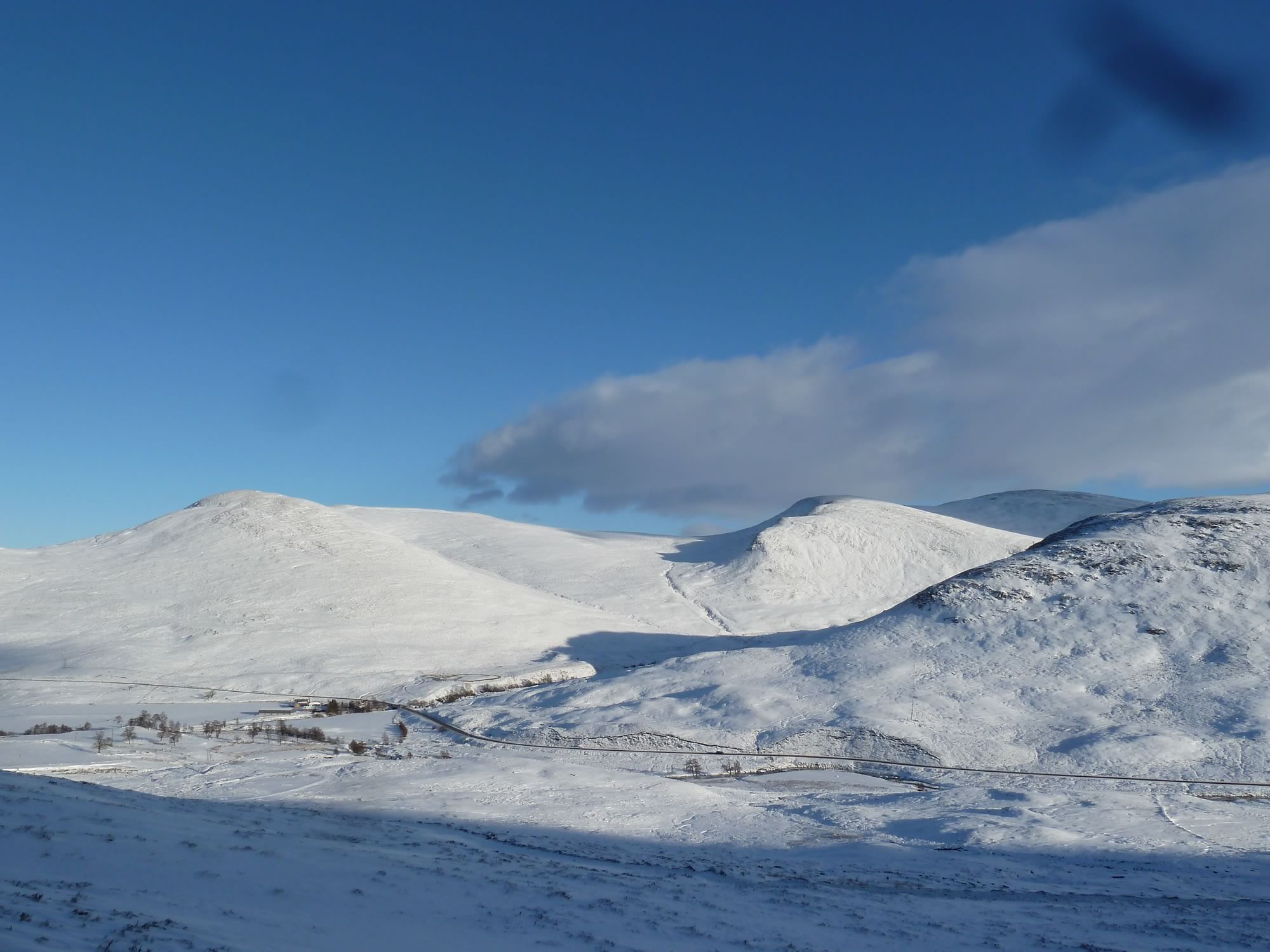
On winter days like this you get that gorgeous low light that makes Scotland a magic place.
14.53 – View of Creag nan Leachda & the A93
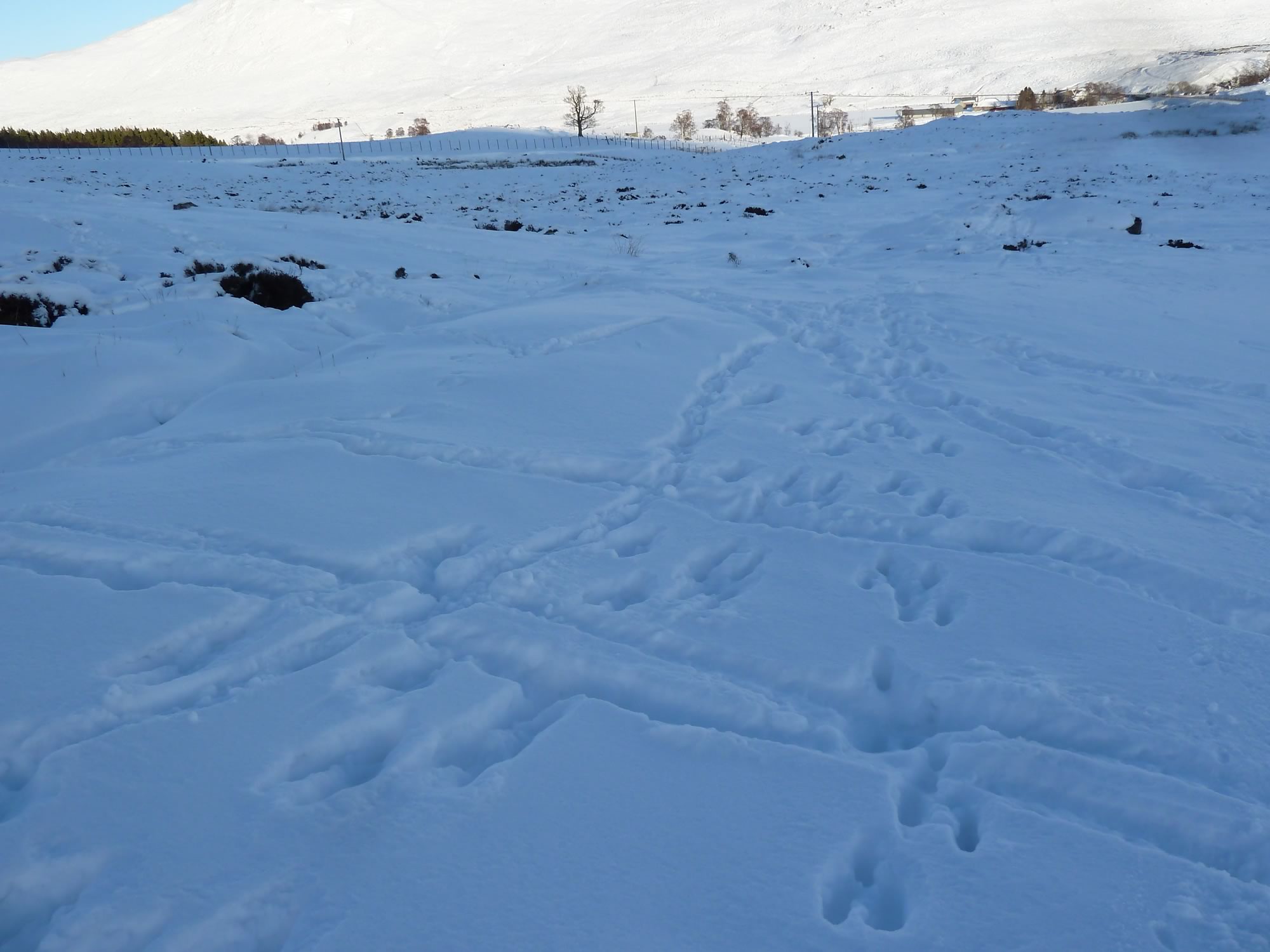
We had high hopes of spotting a mountain hare, but we were out of luck and had to content ourselves with just footprints.
What we did see was a surprising number of grouse, and a deer herd.
15.03 – The evasive mountain hare footprint
This was a most enjoyable hike, with all that clear weather. Without visibility, though, I wonder how easy it’d be to find the top. There aren’t many landmarks to help you along the way.
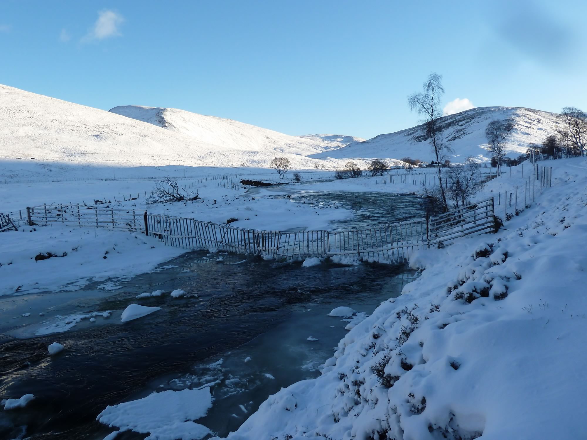
Strolling along the Clunie Water
15.25 – Looking back at the Clunie Water & Creag nan Leachda
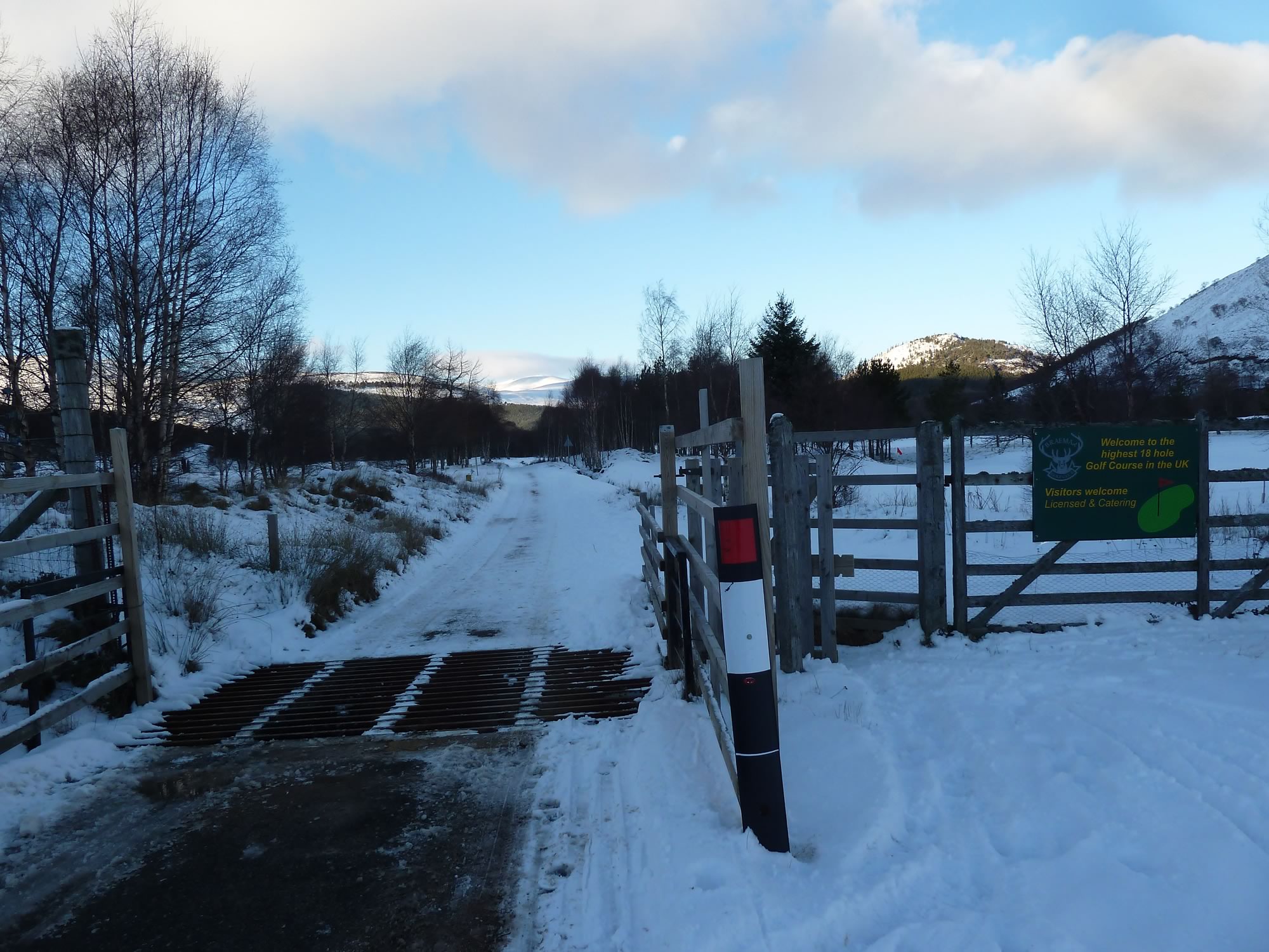
As you’re about to enter the Braemar golf course, you’re greeted by a sign that says: “Welcome to the highest 18 hole Golf Course in the UK”.
A few minutes later, we did indeed walk past what appeared to be a golf course, hidden under all that snow. The holes, though, where nowhere to be seen.
15.38 – Entering the highest golf course in the UK
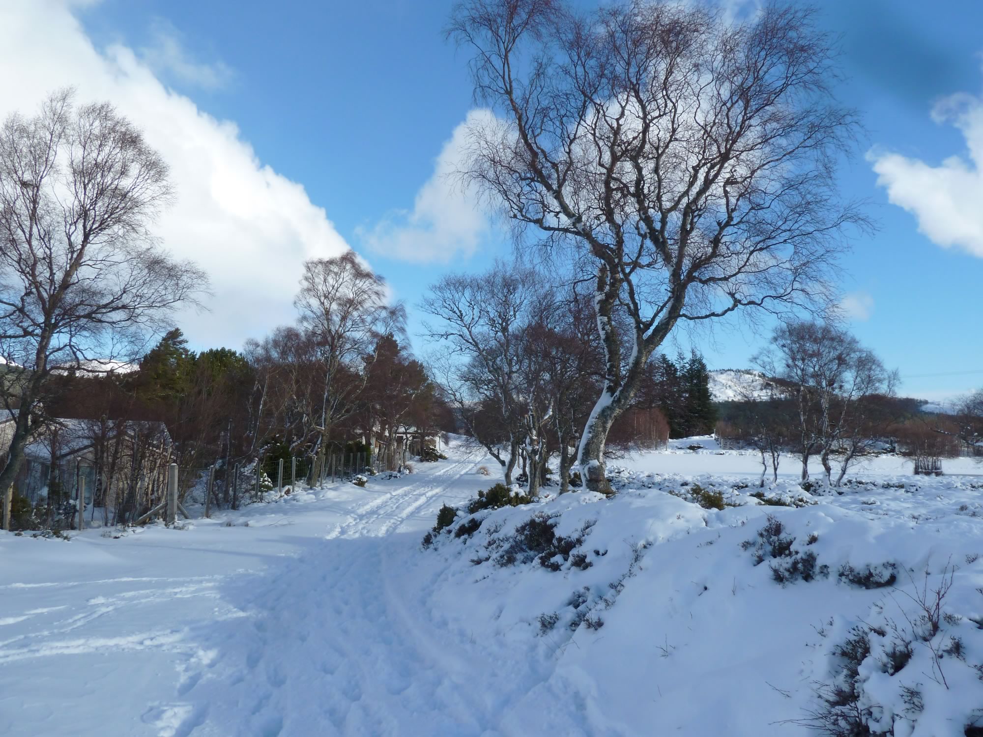
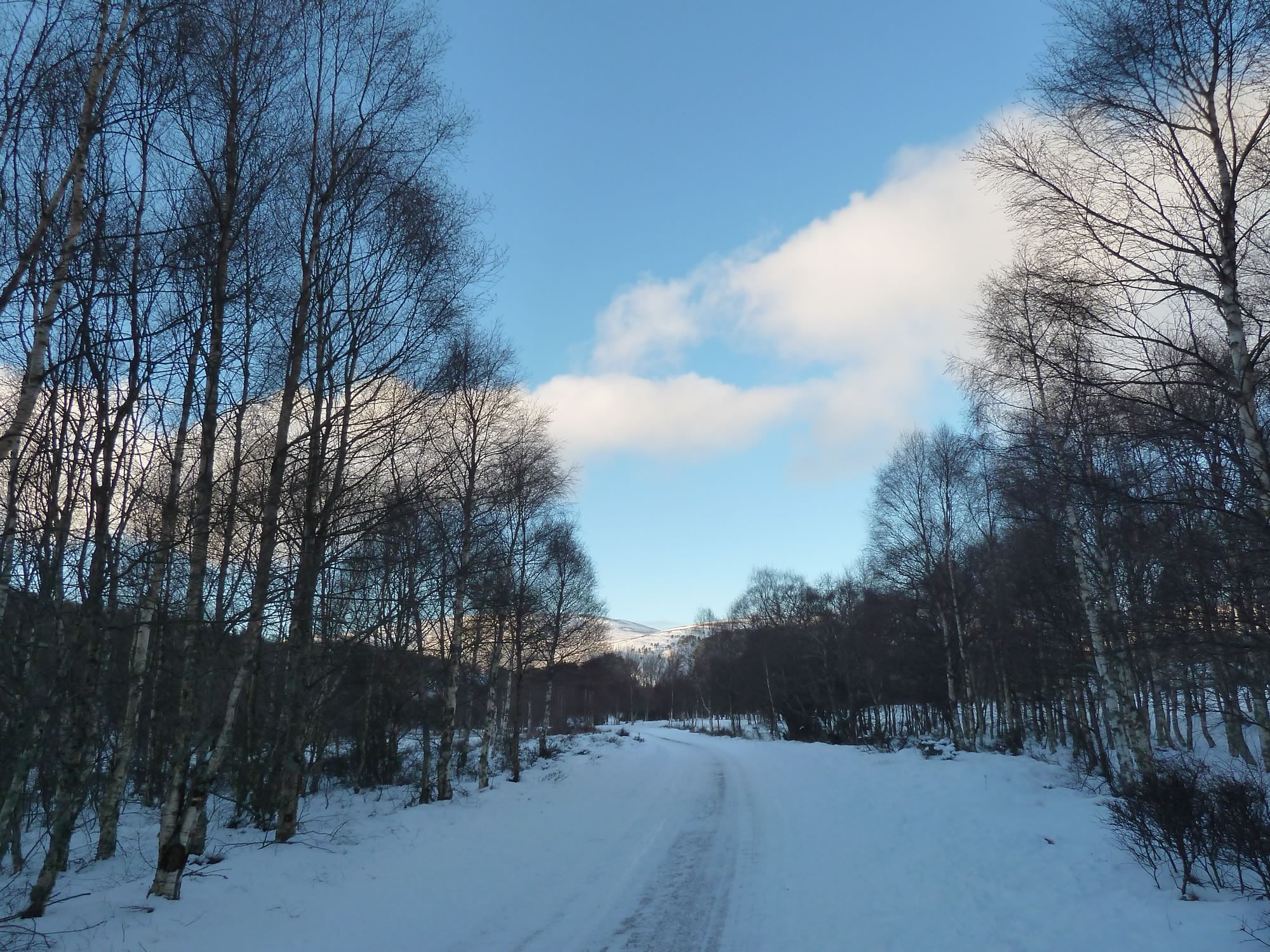
We followed the old military road north, back to Braemar.
15.46 – The easy walk back to Braemar
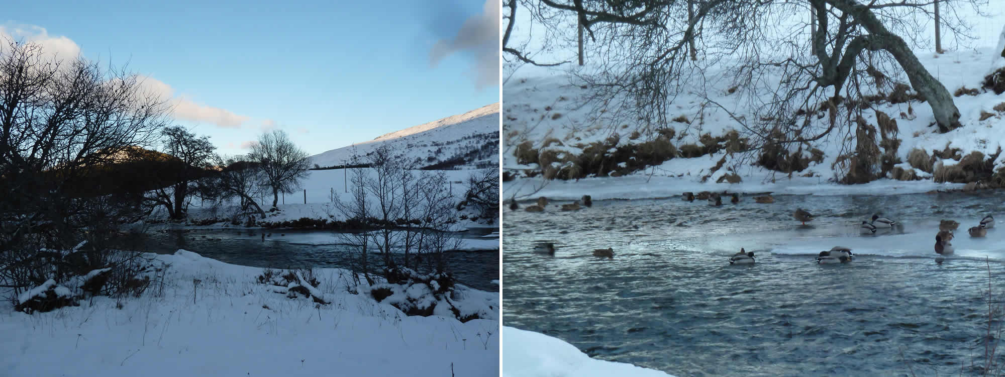
Suddenly we saw this unforgettable scene. A few dozen ducks were paddling about and sitting on the ice, unaware of the cold. Having a big fat bum has its advantages.
15.58 – Some brave ducks relaxing on the ice
Back in Braemar
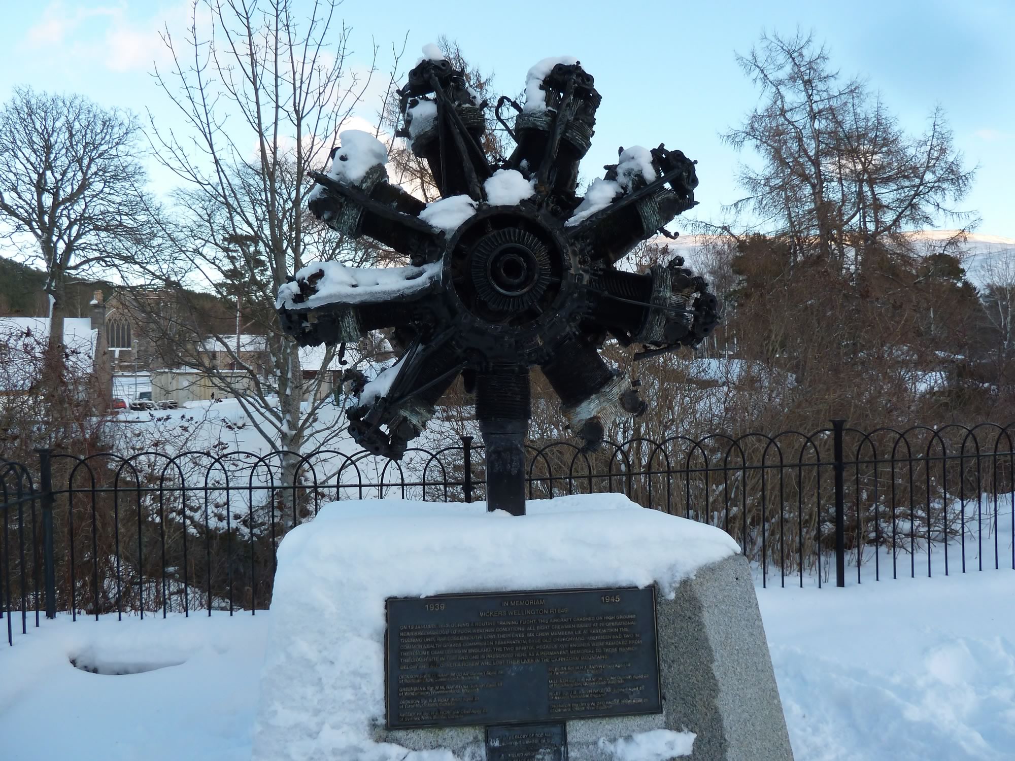
As we arrived in Braemar, we saw this WWII memorial. The plaque says: “On 19 January 1942, during a routine training flight, this aircraft crashed on high ground near Braemar due to poor weather conditions. All eight crewmen … lost their lives.”
I dedicate this post to all those who paid the ultimate price fighting for our freedom.
16.10 – WWII Memorial commemorating the Vickers Wellington R1646 crash
We crossed the Clunie Water bridge once again, and stopped at this familiar spot.
We’d been here a few years ago, with Sister and the bikes, after a wild camping trip.
16.36 – Back in Braemar
It was a July weekend and we’d crossed Glen Tilt from Blair Atholl to get to Braemar.
Staying overnight in Braemar wasn’t part of the plan, but the rain had suddenly decided to come down in buckets, and we weren’t going to make it to Perth on the bikes before the last train.
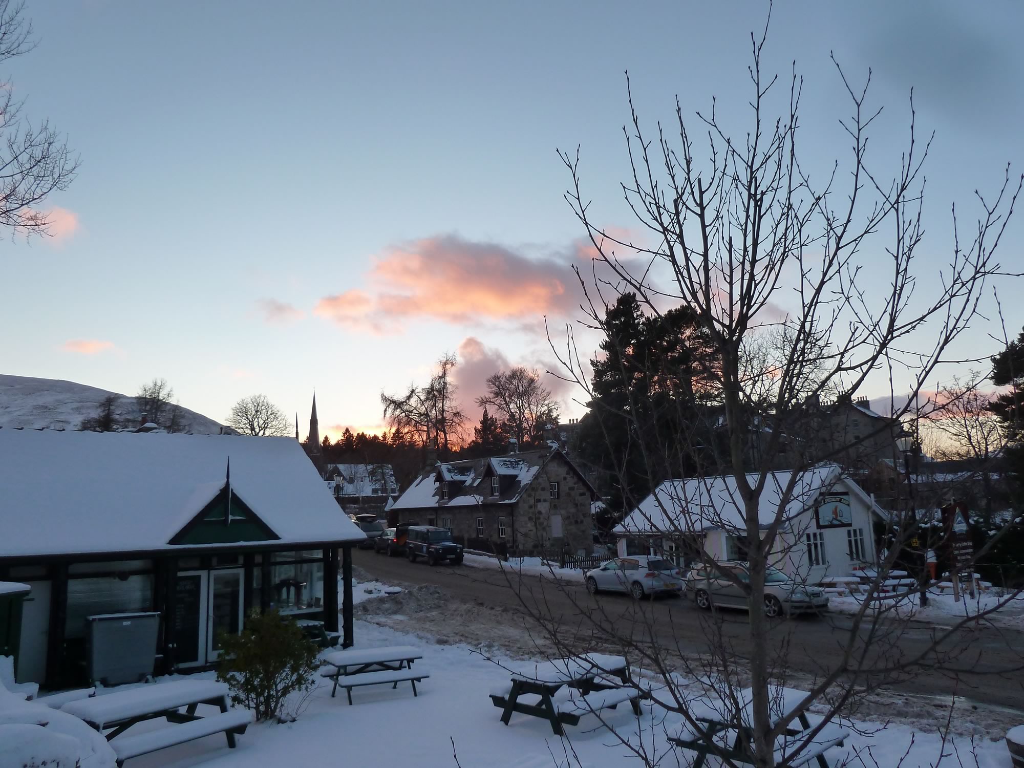
The tourist office found us a lodge for the night, and the following day we woke up to a glorious morning. As we left, we stopped at this take-away place to get a packed lunch. Braemar was buzzing with tourists.
It was great fun but, I have to confess, I prefer this part of the world in the winter, when it looks peaceful and humble.
I took all the photos with the Panasonic.
* Simon took this photo.

