Day 1 on the GR34: map & data
Total climbing: 835 m
Total time: 09:39:24
Average speed 1.4 mph, including buying water and stopping for lunch
It was going to be an unforgettable day after looking forward to it for several months. Simon had done most of the planning, and I was to do the French talking.
By the way, the maps we got from that fiddly French online shop proved invaluable.
Leaving Douarnenez
We left Douarnenez after buying a shockingly large portion of Kouign-Amann. That’s the local cake made with 40% dough, 30% butter and 30% sugar.
Oh, blimey! I guess you need the excuse of walking for more than nine hours to buy it.
In case you’re wondering, Kouign-Amann is Breton for “butter cake” and this is how you say it, if you really have to: /ˌkwiɲ aˈmãn/
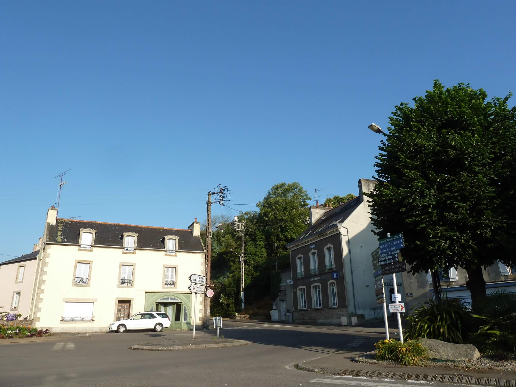
8.25 – The morning sun over Douarnenez
We left behind a very sunny and calm Douarnenez. It was going to be the sunniest and warmest of our four walking days.
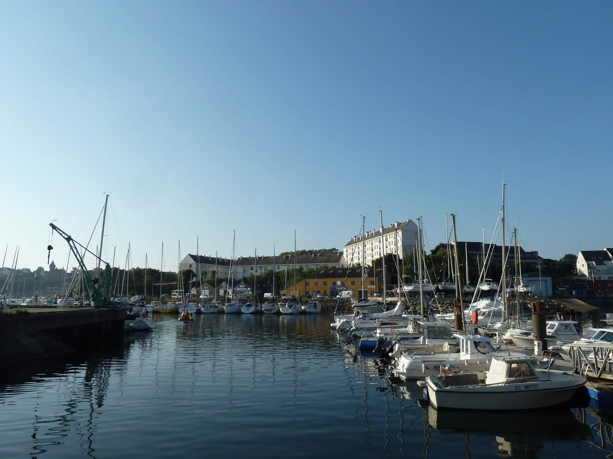
8.30 – Saying goodbye to the boats, for now
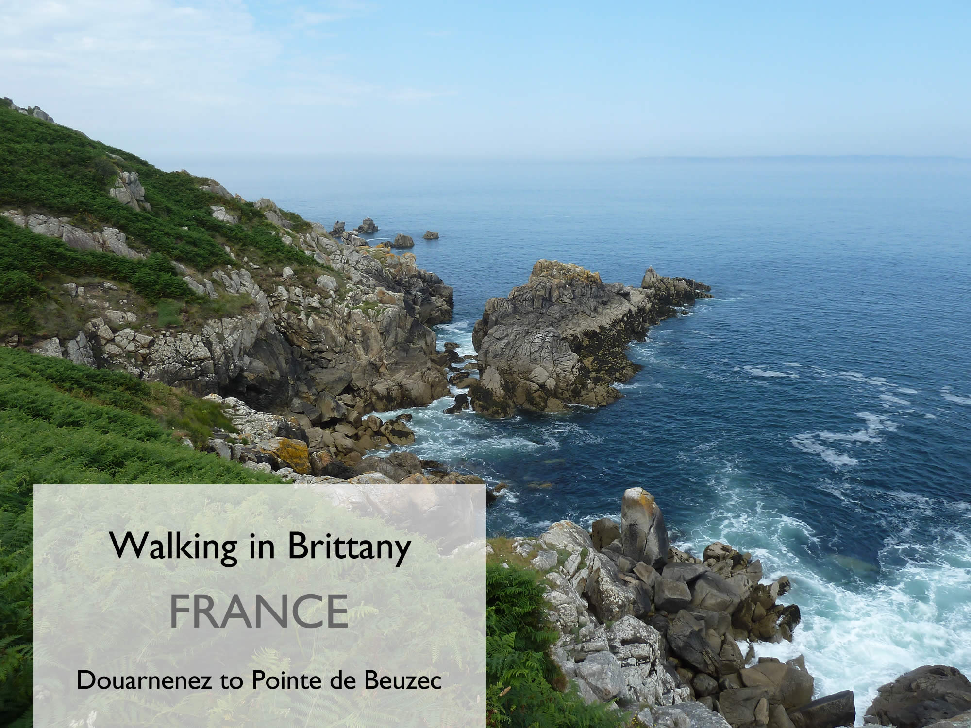
Our plan was to walk along the GR34 coastal footpath to la Pointe de Beuzec, roughly 15 miles (24 km) to the west.
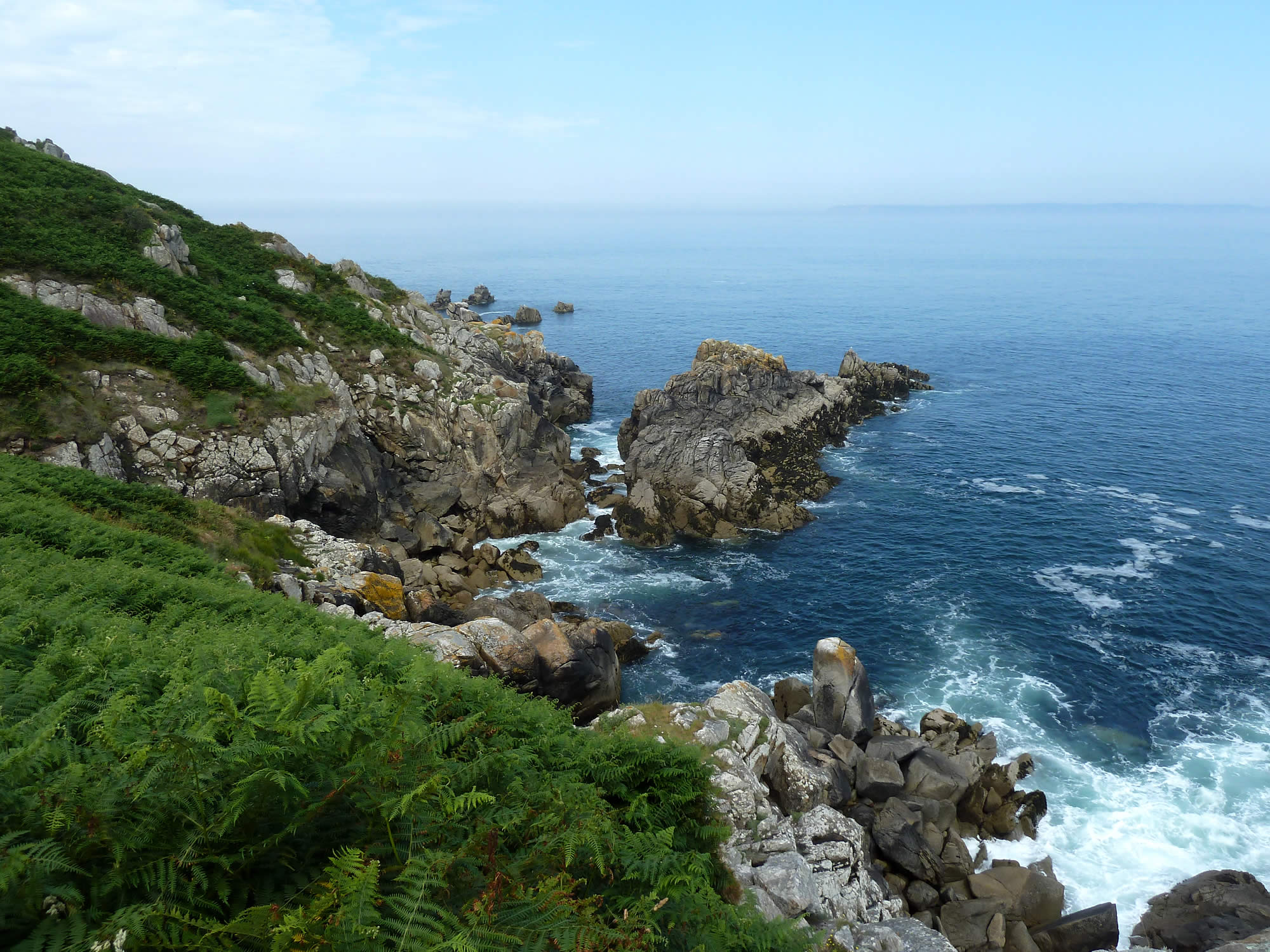
8.37 – Our first view of the rocky Breton coast
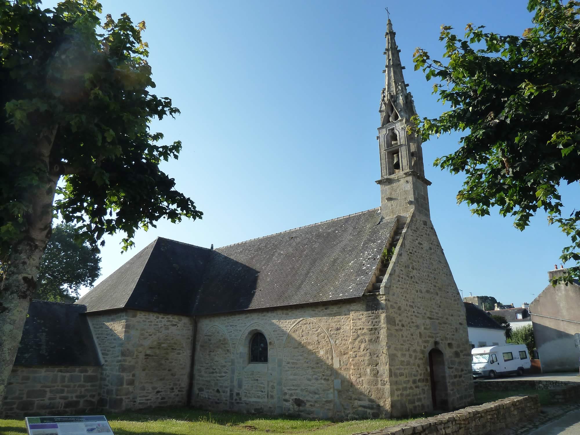
There are churches, crosses and war memorials along the way.
8.44 – The church of Saint-Jean
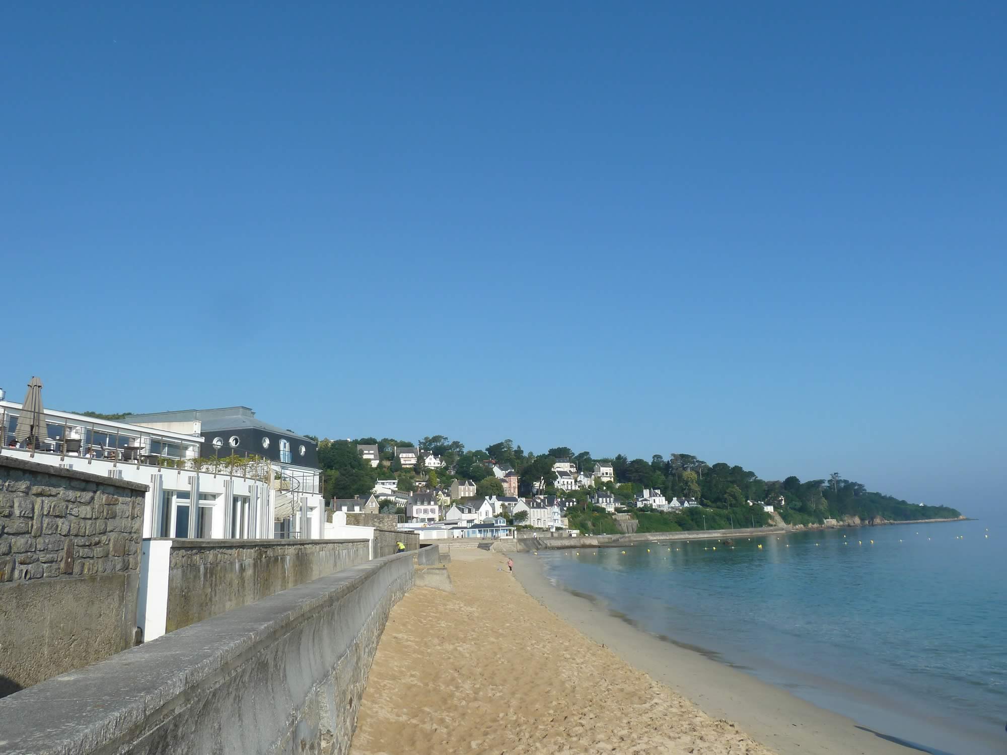
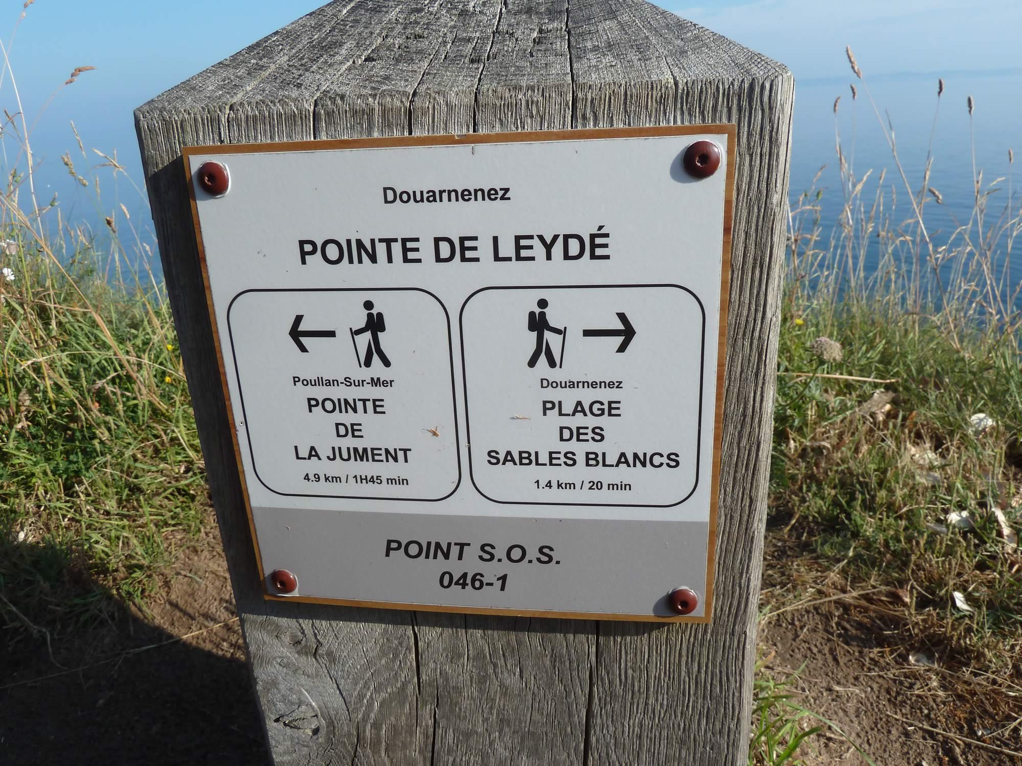
Every now and then, there are also some magnificent beaches.
8.49 – The Plage des Sables Blancs
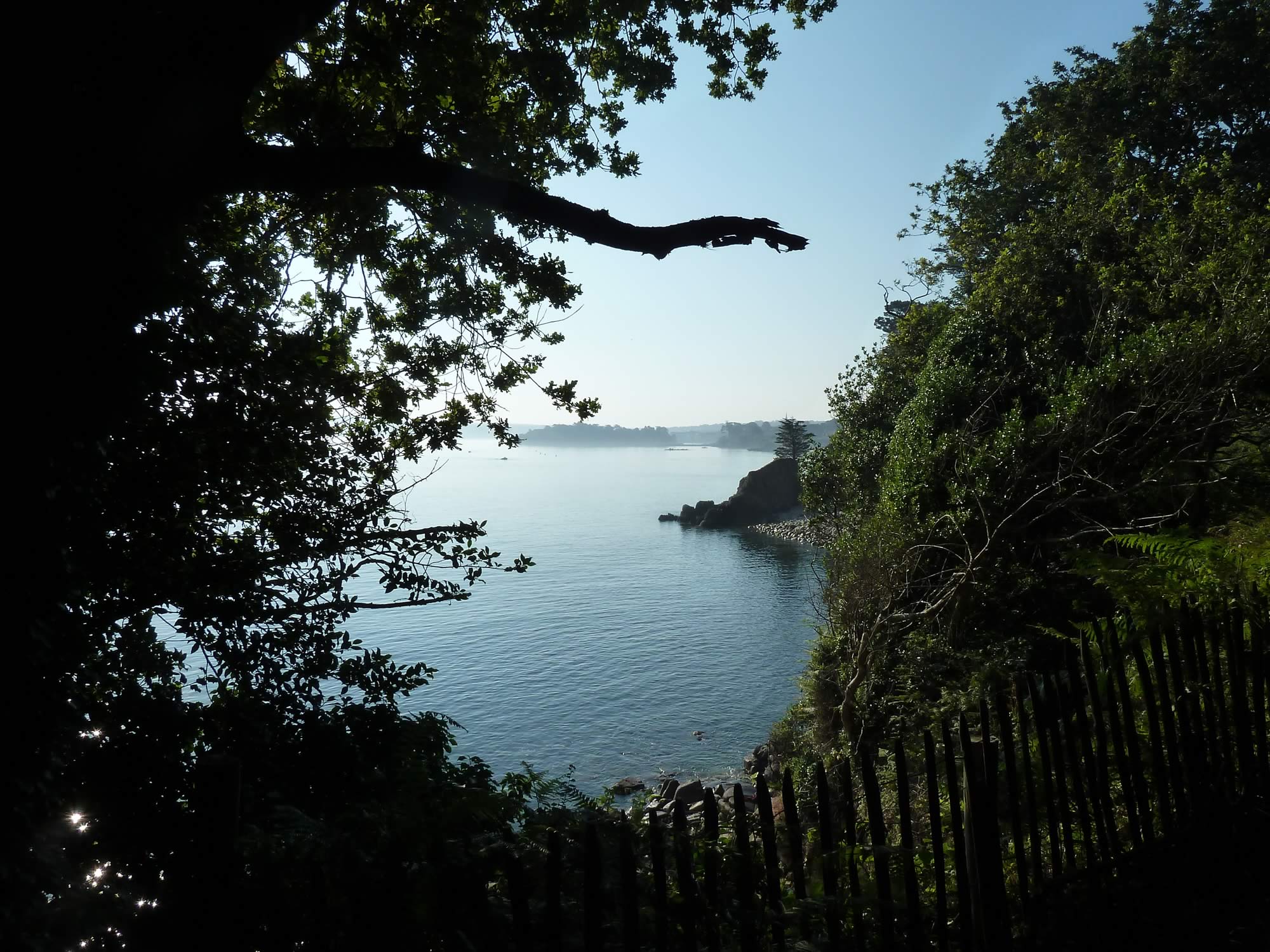
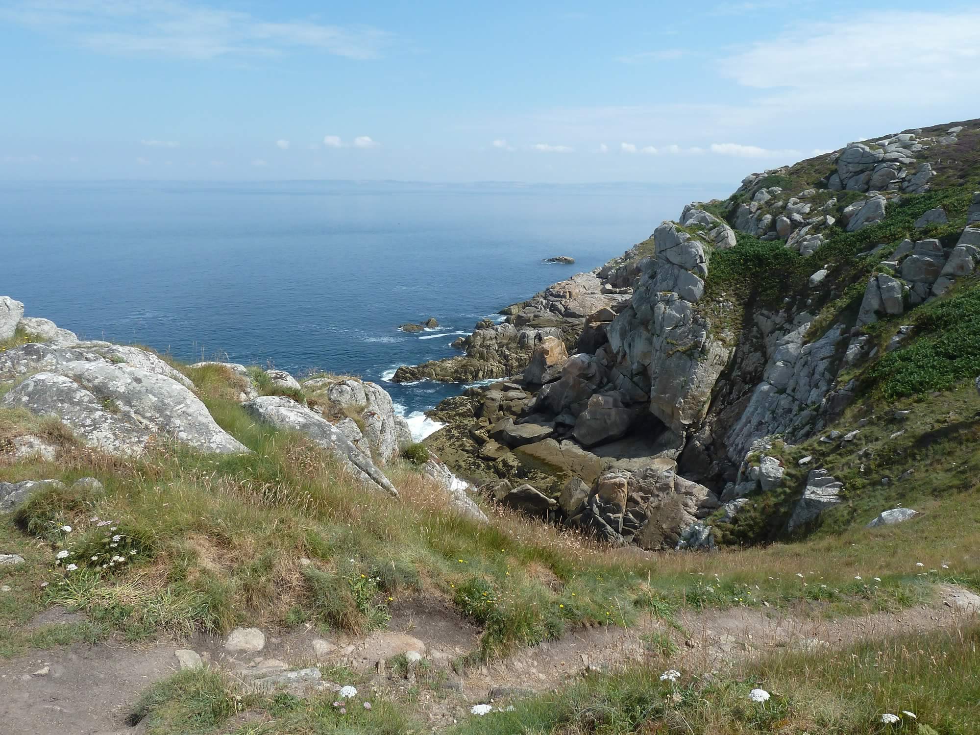
But it’s the rocks and cliffs I loved the most.
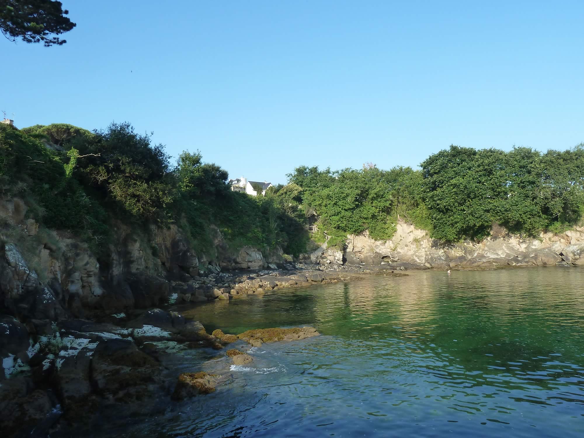
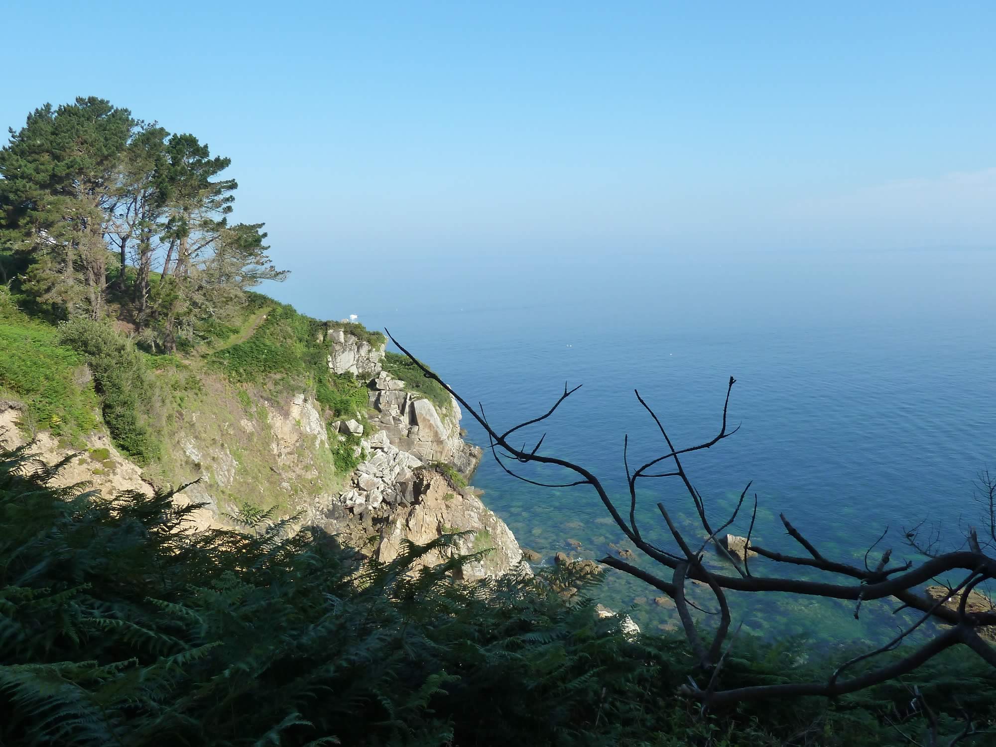
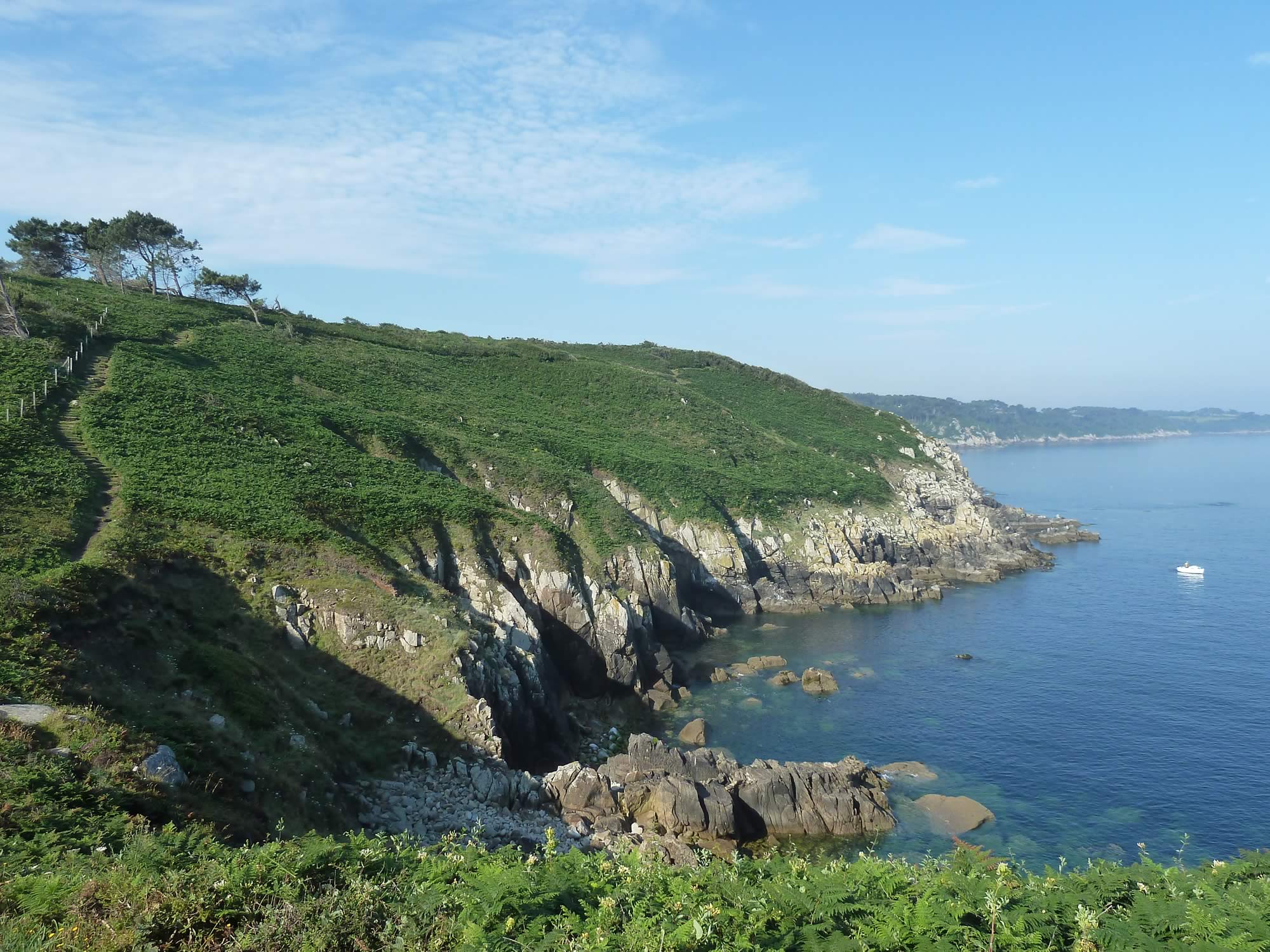
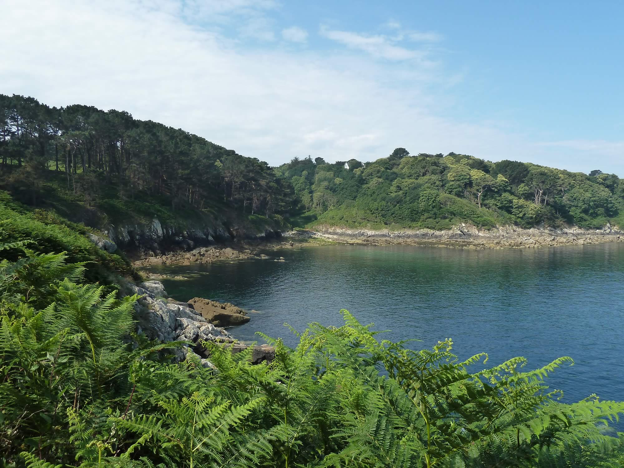
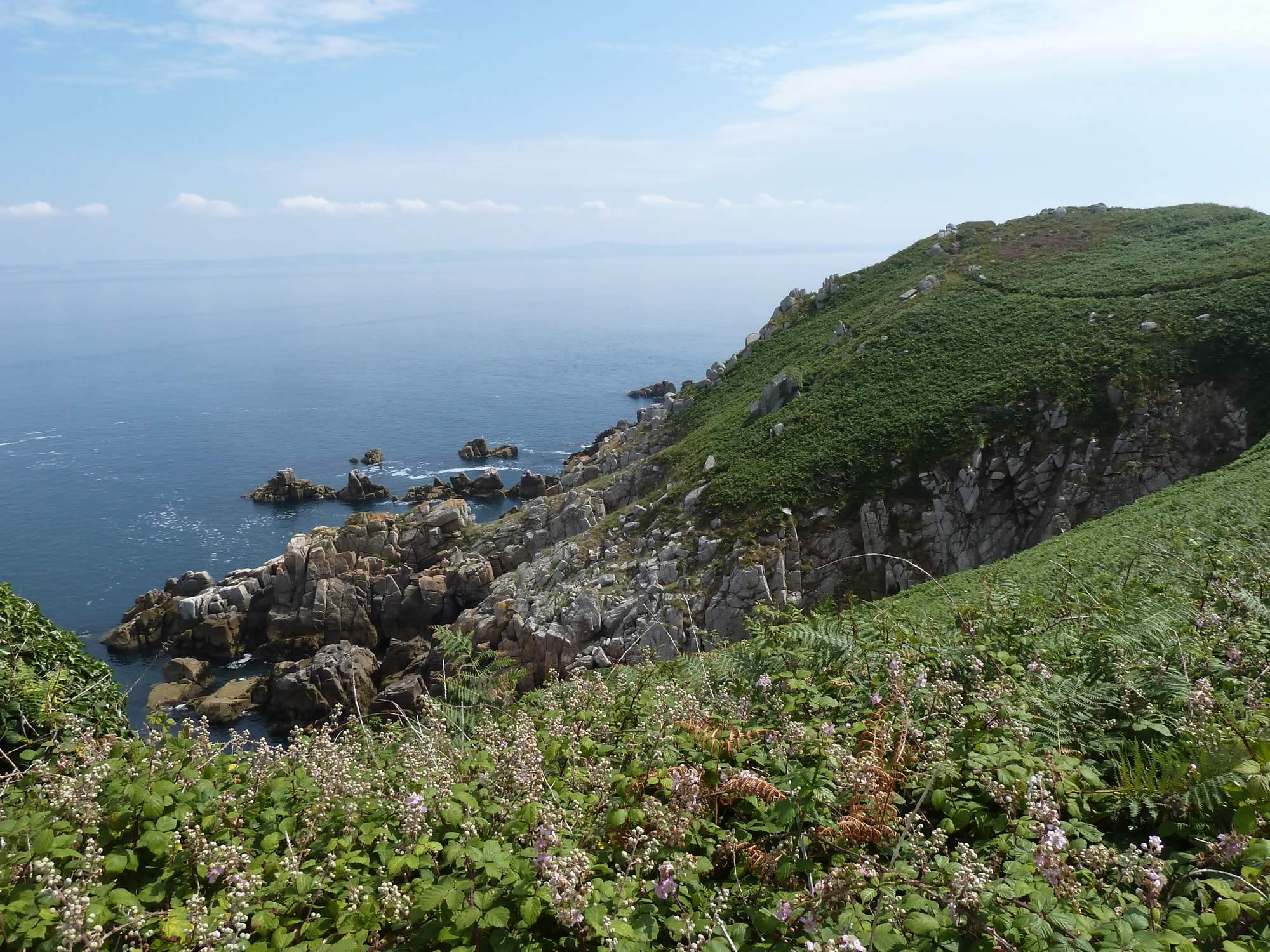
You don’t have to walk too far from Douarnenez to see what the Breton coast has to offer: magnificent coves, spectacular cliffs and transparent waters. We’d see plenty of them all day.
9.07 – A glimpse of what the day would bring
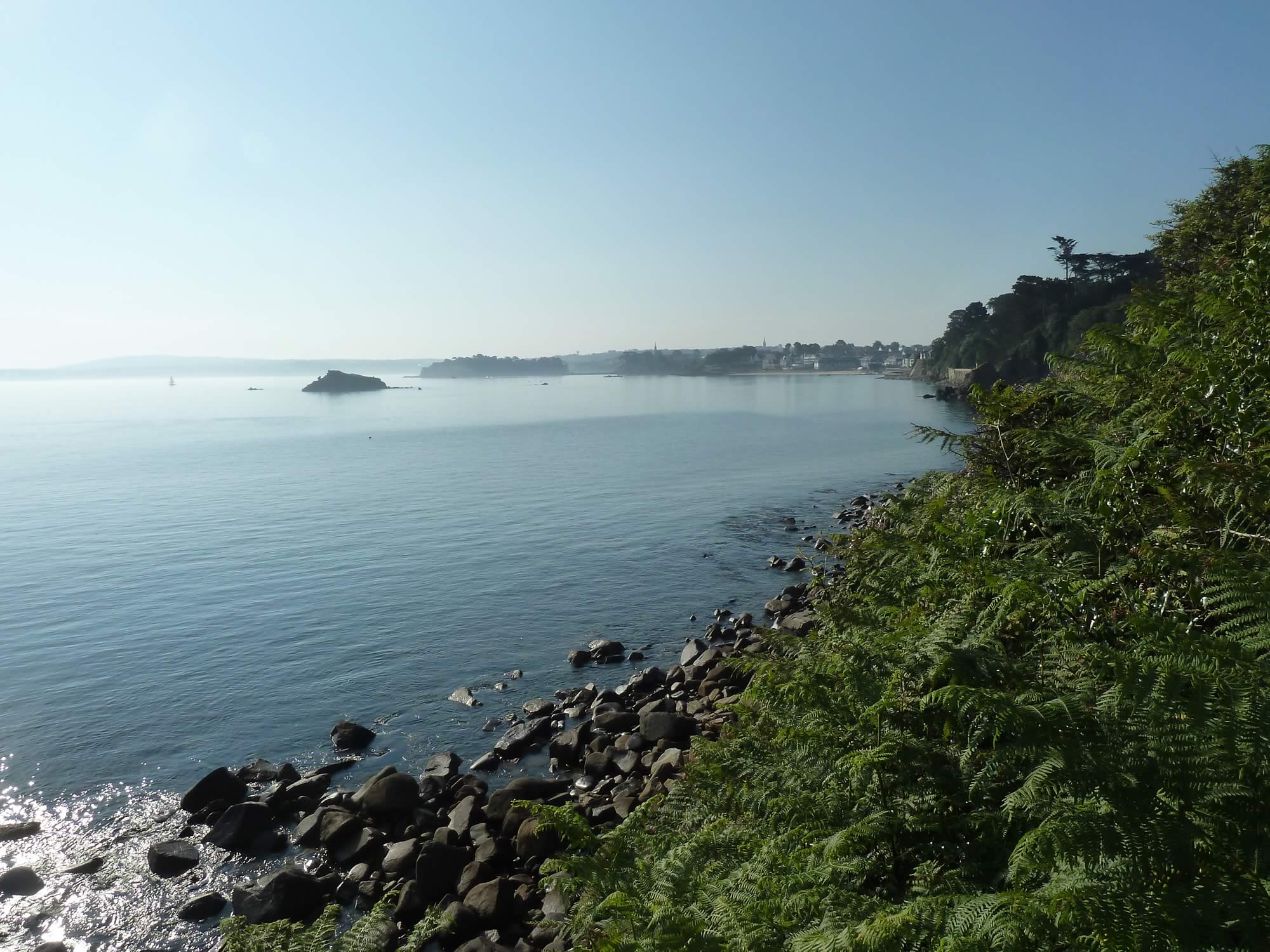
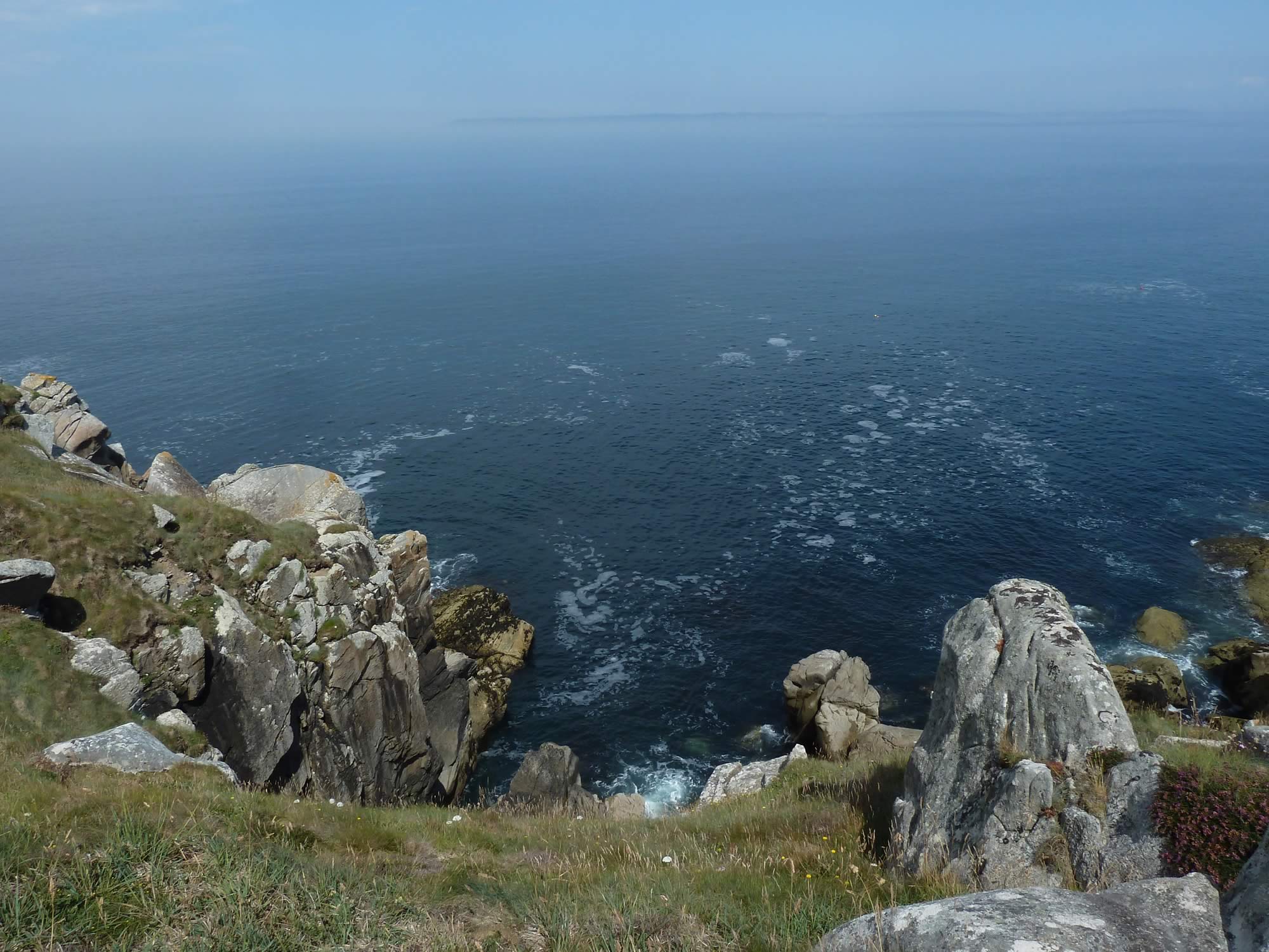
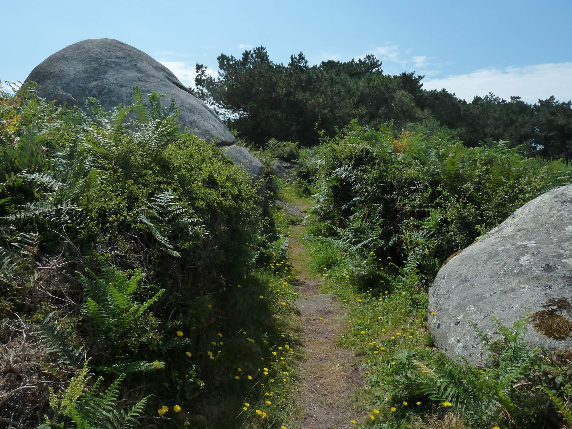
The path winds along the coast, surprisingly close to it. At times it’s just a few yards from the water, but often there’s a sheer drop.
9.10 – Looking back at Tréboul
The GR34 is well signposted all the way. There are plenty of mileposts showing you the distance you’ve covered, and the distance to go.
At first we weren’t sure about the times given on those mileposts. We assumed they’d be wildly optimistic, like the times in the walking books we’ve got for the Scottish mountains.
But they turned out to be surprisingly accurate for us.
9.11 – One of the many encouraging mileposts on the GR34
We’d traveled light to France knowing that we’d have to carry everything with us for four days. Mind you, by the time you add a couple of litres of water to your rucksack, it’s not that light anymore.
Alas, we had no choice but to carry that much water. This might be a wet part of the world, but there are no rivers or streams.
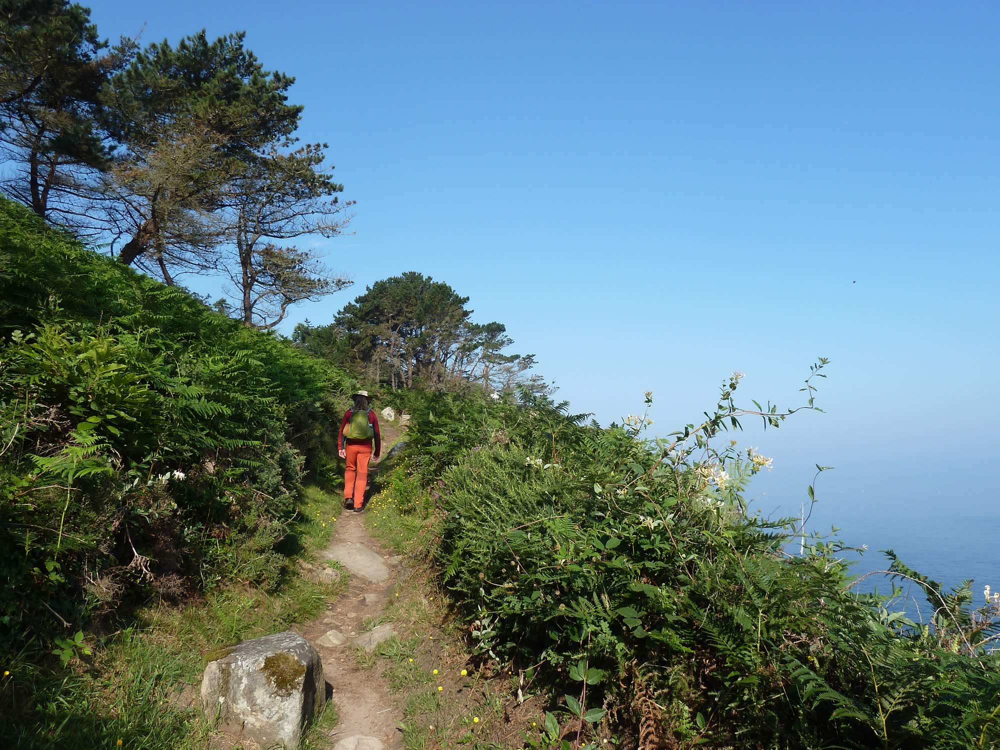
9.22 – Simon tramping along
I had looked at some pictures of the Breton coast online, but nothing prepared me for the beauty of the place and its immense views.
9.25 – Did we really walk on that narrow path?
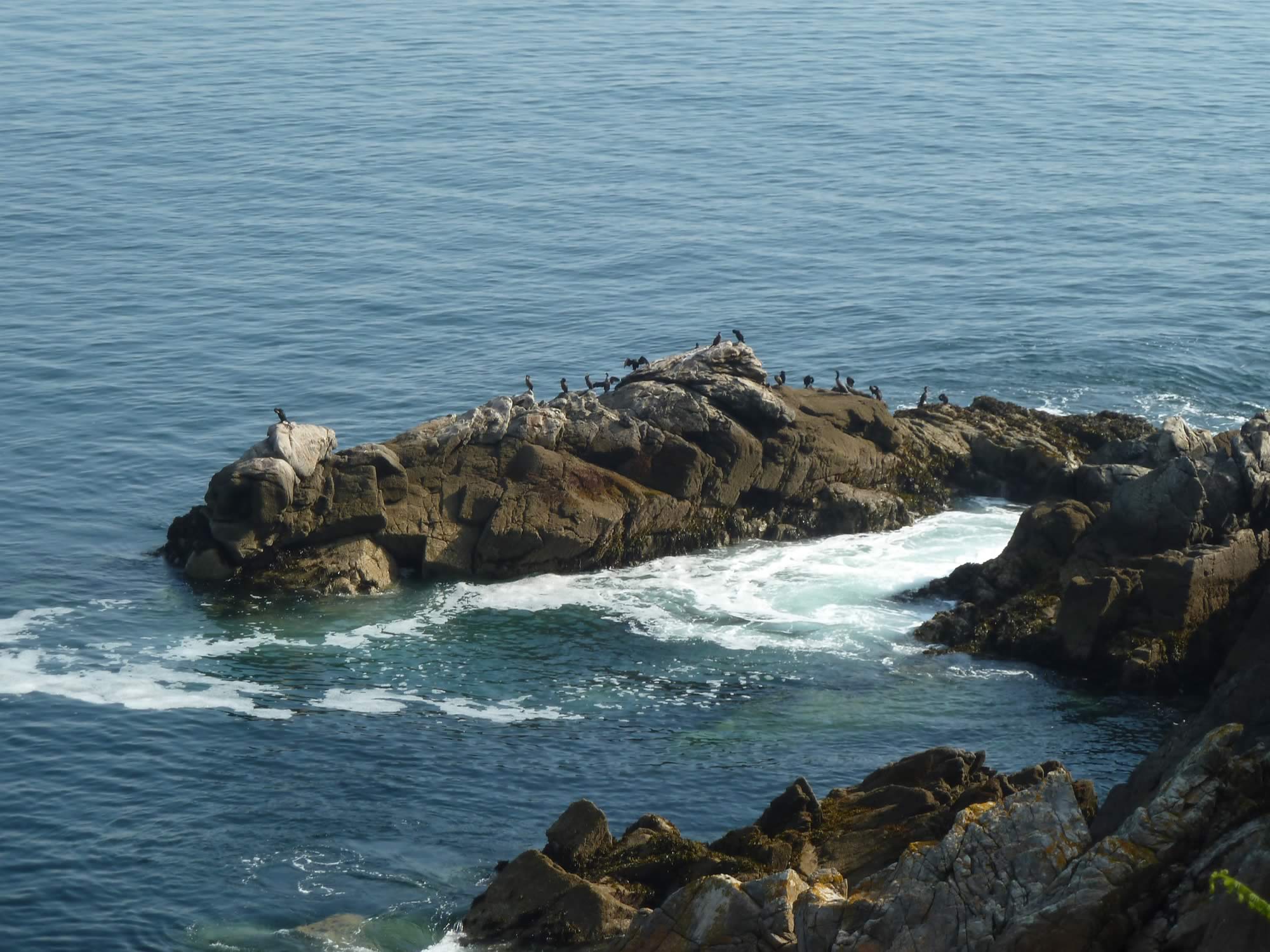
The path is often as beautiful as the rugged coast. There are butterflies and wild flowers all around you, and in the distance you see bird colonies sunbathing on the rocks.
What we didn’t see much of was other walkers. The whole place was wonderfully quiet.
9.36 – Our winding path along the Breton coast
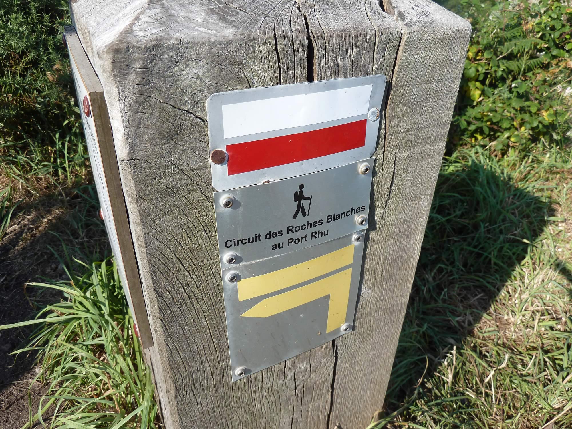
All the Grande Randonnée footpaths are marked with a white and red line. Every so often you see a white and red cross, which indicates a path that leaves the GR.
9.44 – The white and red lines that indicate the GR34 route
At some point around here we started to think the water we were carrying wasn’t going to be enough for the day.
It was a bit worrying, because we’d looked at the super map we had and knew that there were hardly any settlements near the GR.
10.08 – Cormorants basking in the sun
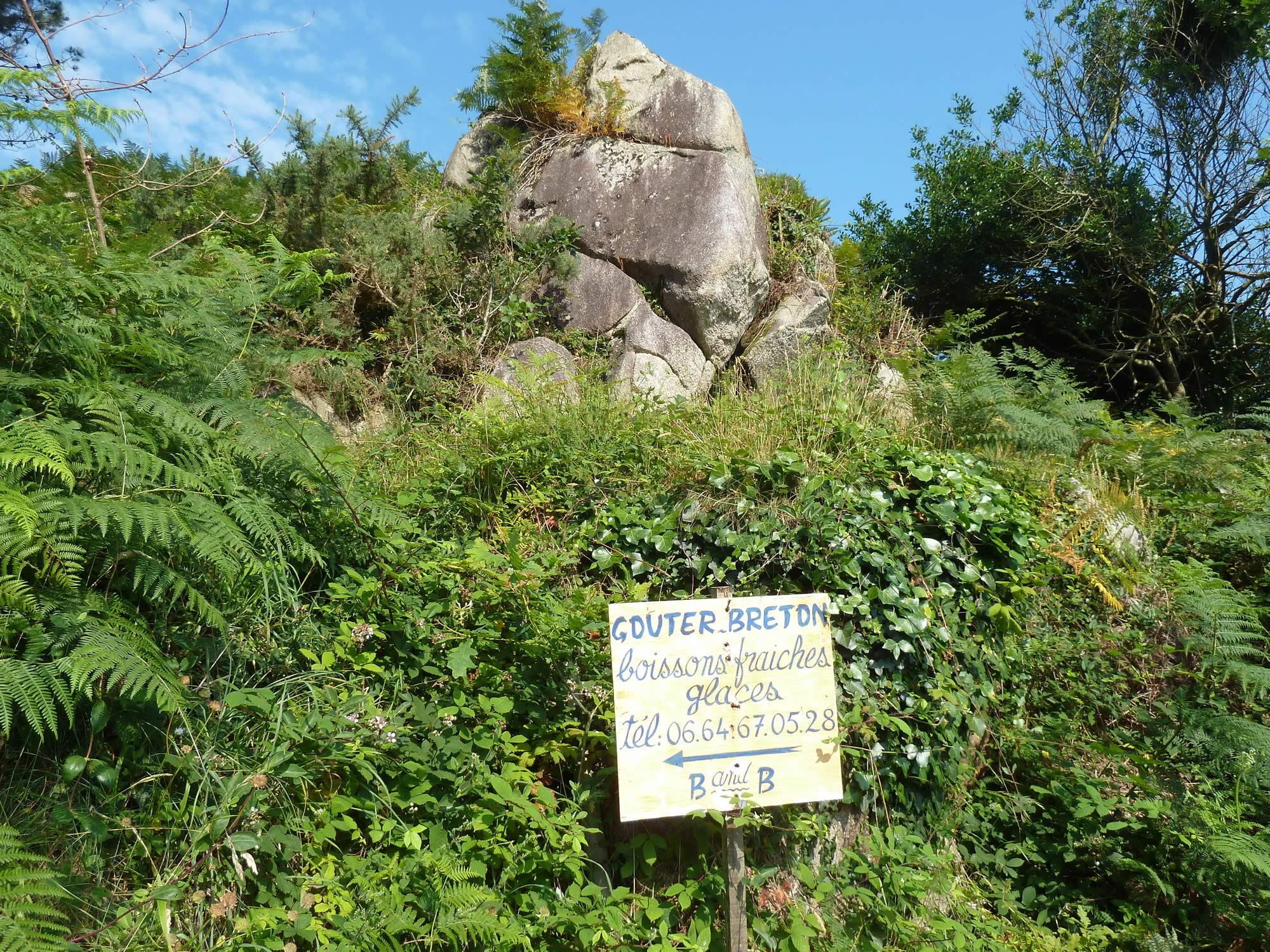
And, all of a sudden, this sign appeared. Just when we needed it.
We turned left and got to a B&B run by the most friendly of Frenchmen. We sat outdoors and got still water, sparkling water, and a coffee for Simon. Spiffing.
10.16 – Water salvation!
When I was polishing my French in Edinburgh, a few weeks earlier, I wasn’t sure what the accent would be like in this part of France.
To my delight, it’s extremely clear, and they didn’t seem to have trouble understanding me either. Yet another reason to come back.
11.20 – Back on the GR34 path
The Breton language, however, is a different beast. It’s totally impenetrable.
Breton was brought to this part of the world by migrating Britons in the Early Middle Ages. Currently it’s spoken by about 200,000 people, and taught in schools to preserve it.
11.44 – Cliffs & rocks on the beautiful Breton coast
I haven’t told you much about Finistère, this part of France.
The word Finistère comes from Latin, Finis Terrae, and it means “the end of the earth”. As you can see on the map above, it’s the westernmost department in continental France.
The largest town in Finistère is Brest, which we didn’t get the time to visit on this trip.
11.59 – Looking back at our path
If you look at the elevation line at the top of this page, you’ll see that the footpath is like a roller coaster. You keep going up and down, up and down, for miles. Plus, you’ve got all that weight in your rucksack.
No wonder we were starving by midday.
12.12 – One of dozens of vertical drops
When we got to this point we decided to change tactics. The original plan was to walk along the coastal path all the way, but it occurred to us that seeing the farms and villages inland wouldn’t be a bad idea.
So we turned left, away from the coast.
12.15 – Near the village of Kerbasquin
But first we had lunch in a shady spot.
We ate a crude looking sausage, some tomatoes, peaches, and more Breton cake than we could stomach. Or, at least, I did.
Which meant that, after gulping it in, I had to walk not only with a rucksack that seemed to be getting heavier by the hour, but also with an expanded belly.
That’s what happens when your granny’s not around to take the cake away from you.
12.18 – Looking for a shady lunch spot
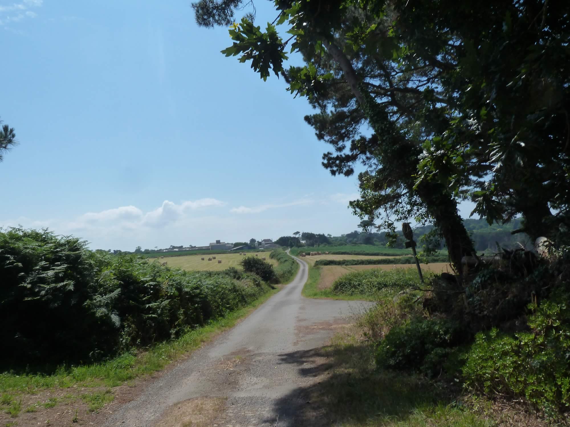
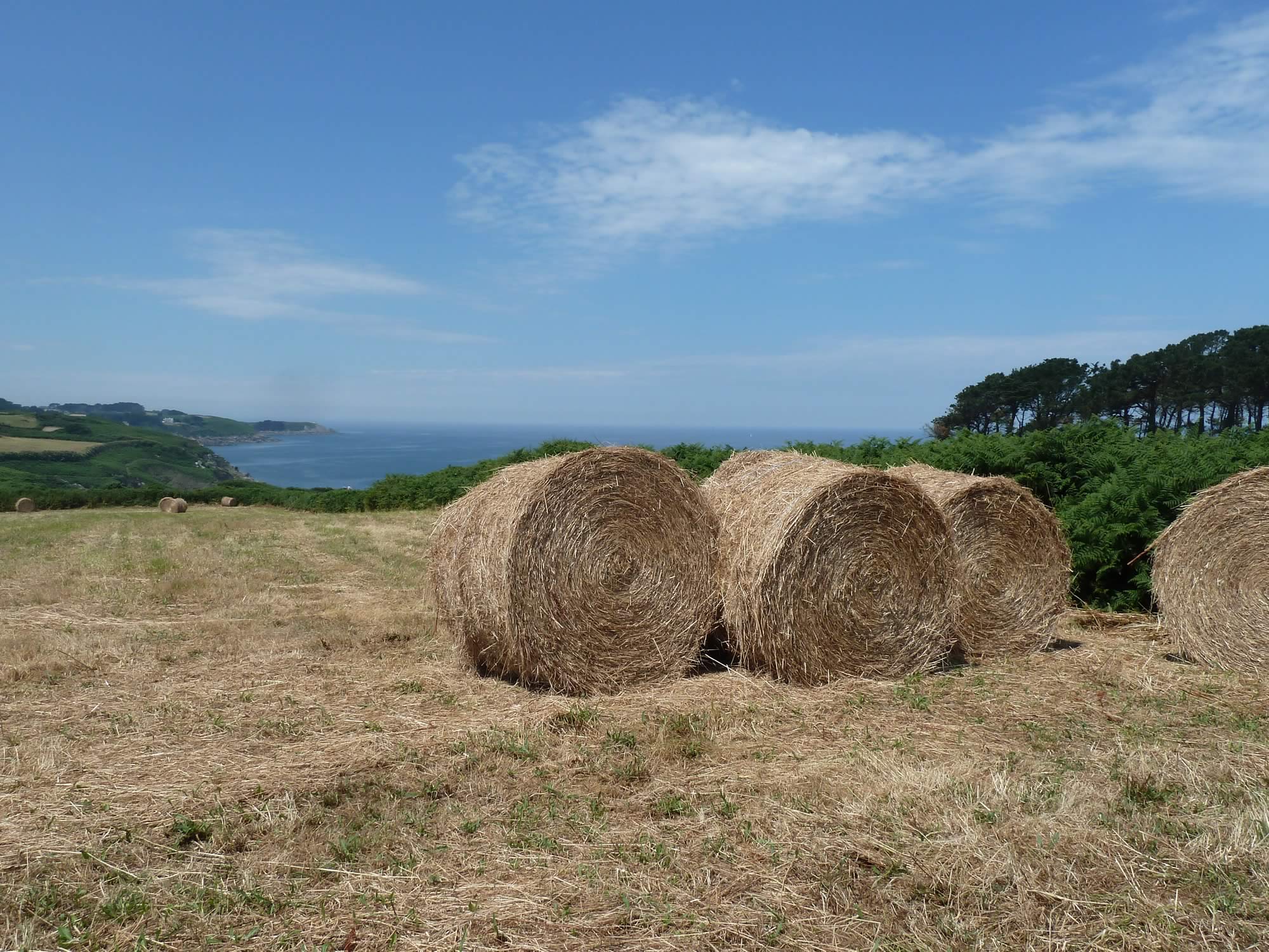
Changing the route turned out to be a great idea. The landscape in the interior is remarkably similar to some parts of Britain.
13.11 – Taking the alternative route inland
We still got the occasional glance of the rocky coast and the cliffs.
13.13 – One of the many farms we walked past
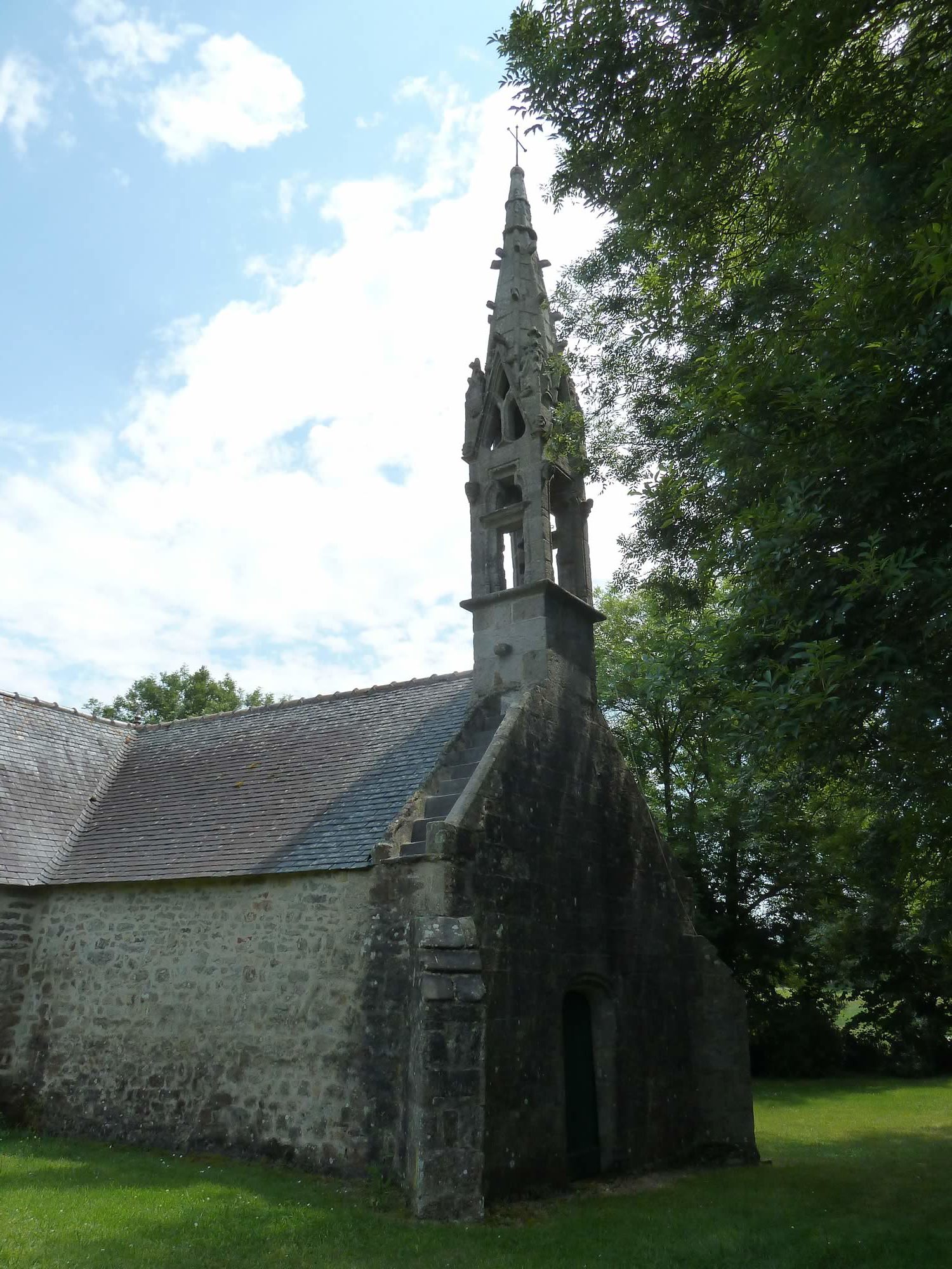
Then we walked past this awesome 17th century chapel.
14.49 – The chapel of Saint Conogan
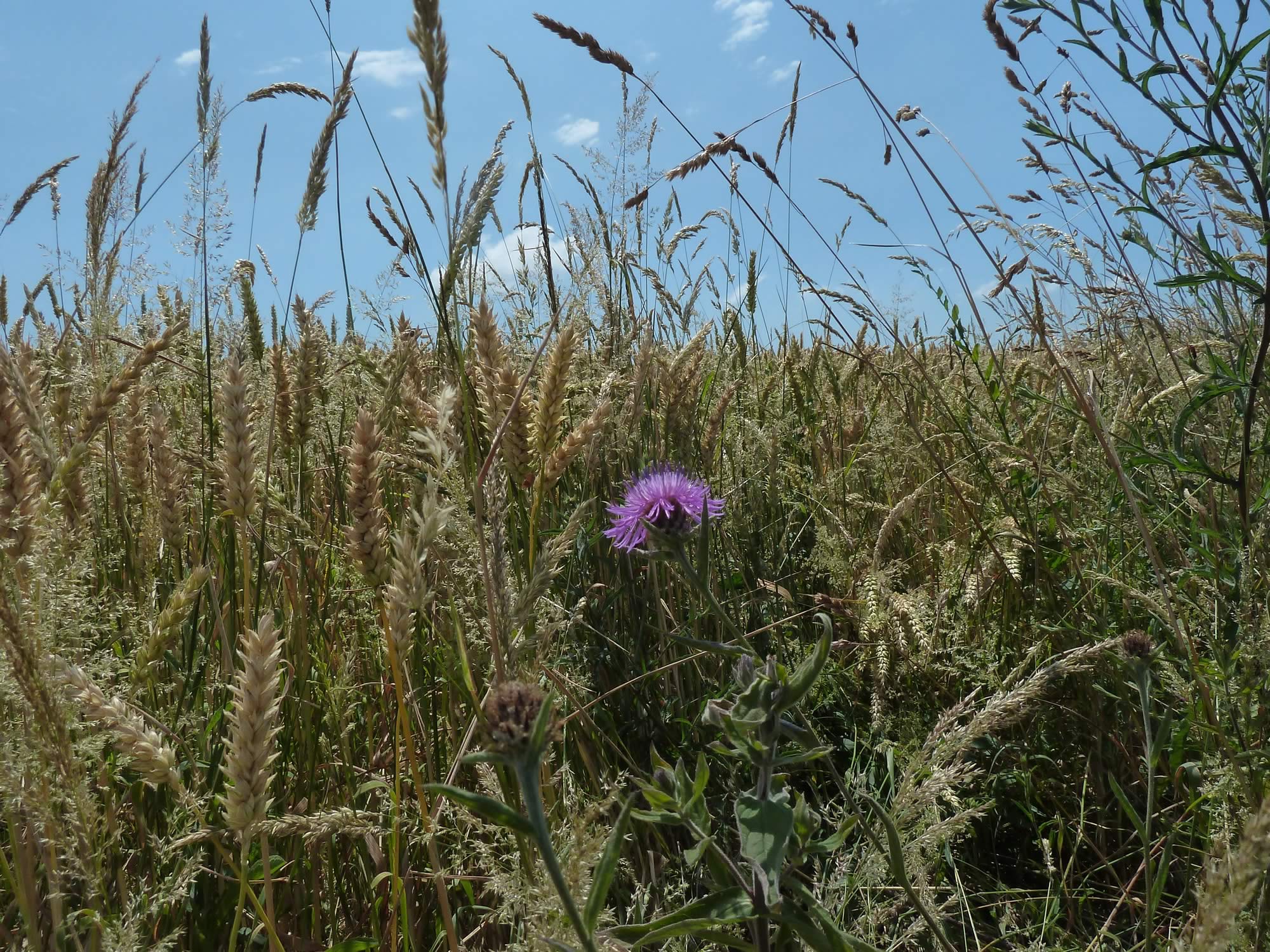
We also saw the odd thistle here and there to remind us of home.
14.59 – A lone thistle
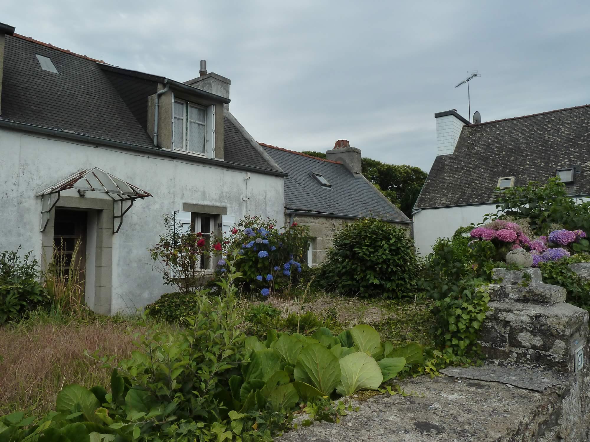
Beuzec-Cap-Sizun is a village less than a mile from the coast, and dead quiet.
We walked through the village for a few minutes before heading for the B&B we’d booked. It was just a few hundred yards down the road.
16.39 – The village of Beuzec-Cap-Sizun
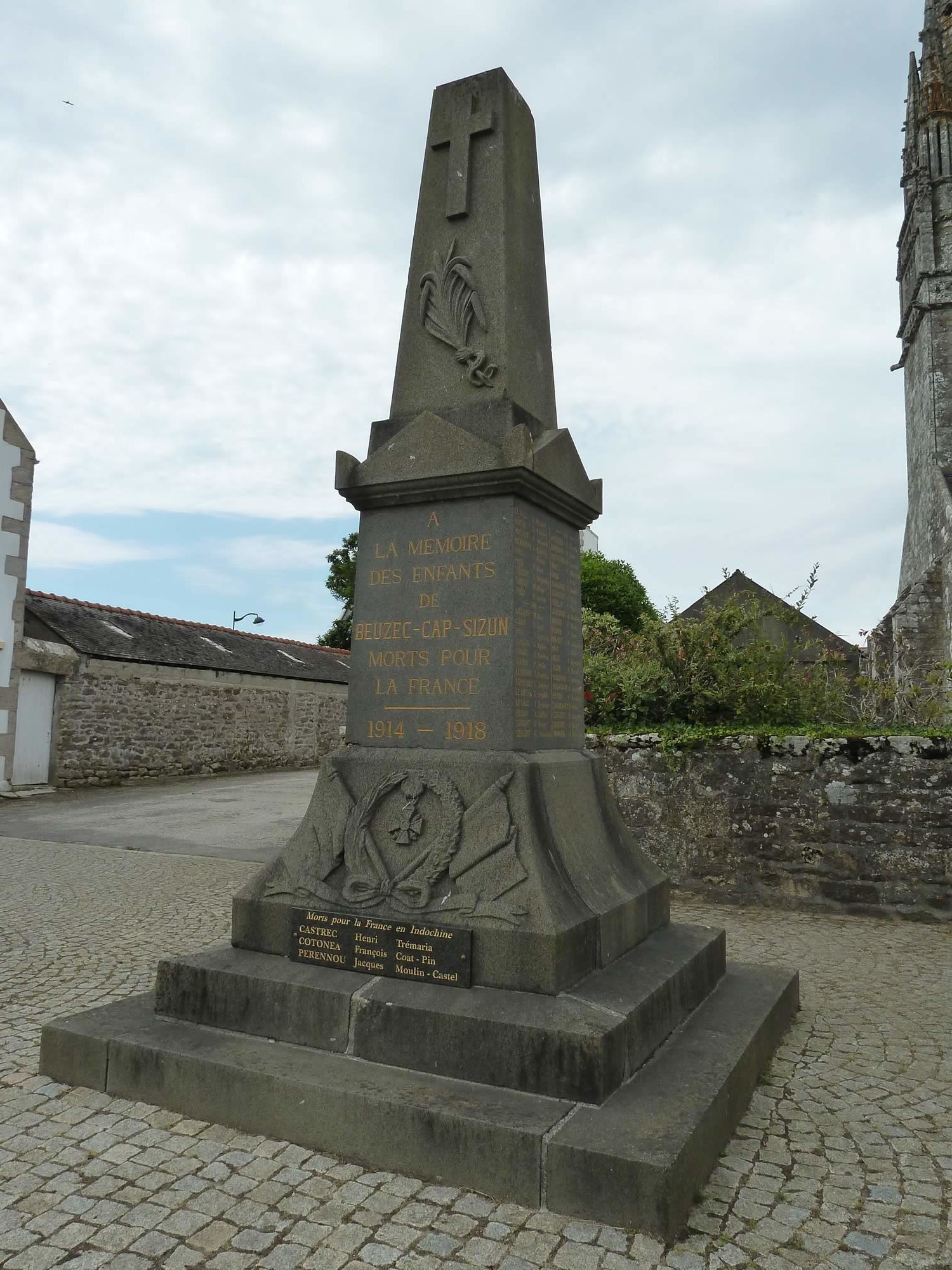
Like every place we visited on this trip, it had a war memorial to honour their dead.
This one is a WWl memorial.
16.46 – Beuzec-Cap-Sizun war memorial
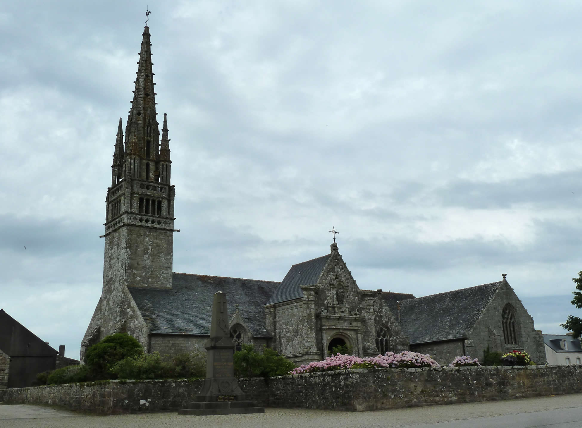
I then took a picture of this church, which is opposite the “Irish” pub where we were going for dinner a bit later.
16.48 – Church of Notre Dame de la Clarté
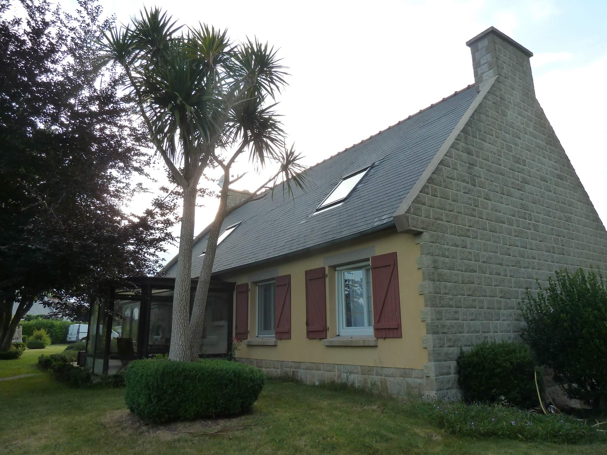
The B&B was stunning. The house had recently been renovated, and the grounds were majestic. There was even a pond with a pair of black swans.
20.41 – Our splendiferous B&B
The dinner options at the not-very-Irish pub were fish and chips, and that’s it.
I wasn’t expecting anything worth reporting, specially since I’d discovered a few months before that I don’t actually like fish and chips. At least in Scotland.
But these were French fish and French chips, cooked by a French guy. A delight.
Now I just need that pub to open a branch in Kingussie.
This had been a gloriously warm and sunny day. Our second stage on the GR34 would be an entirely different experience.
I took all the photos with the Panasonic.
