Day 1 – Tuesday, 2 July: map & data
Total climbing: 648 m
Total time: 08:04:16
44 miles cycle, 8h from 11.00 to 19.00 – average 5.4 mph, with breaks
Our first July trip had a new destination: the coastal village of Craster, in Northumberland (England).
Off to Tweedbank
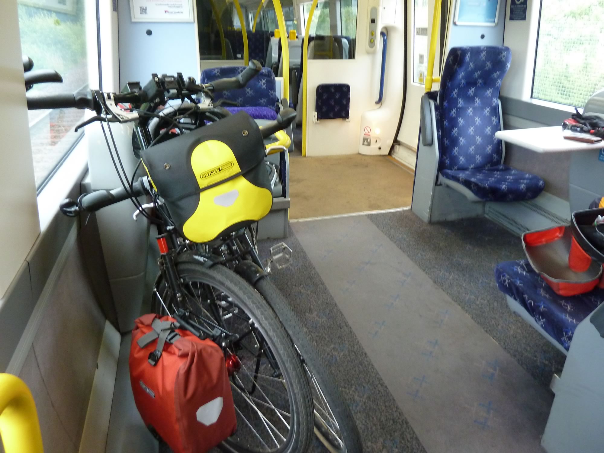
We took the usual train to Tweedbank, in The Scottish Borders. It was almost empty, so there was plenty of room for our bikes, four panniers, bar bags, and Simon’s brand new front panniers.
10.04 – On the train to Tweedbank
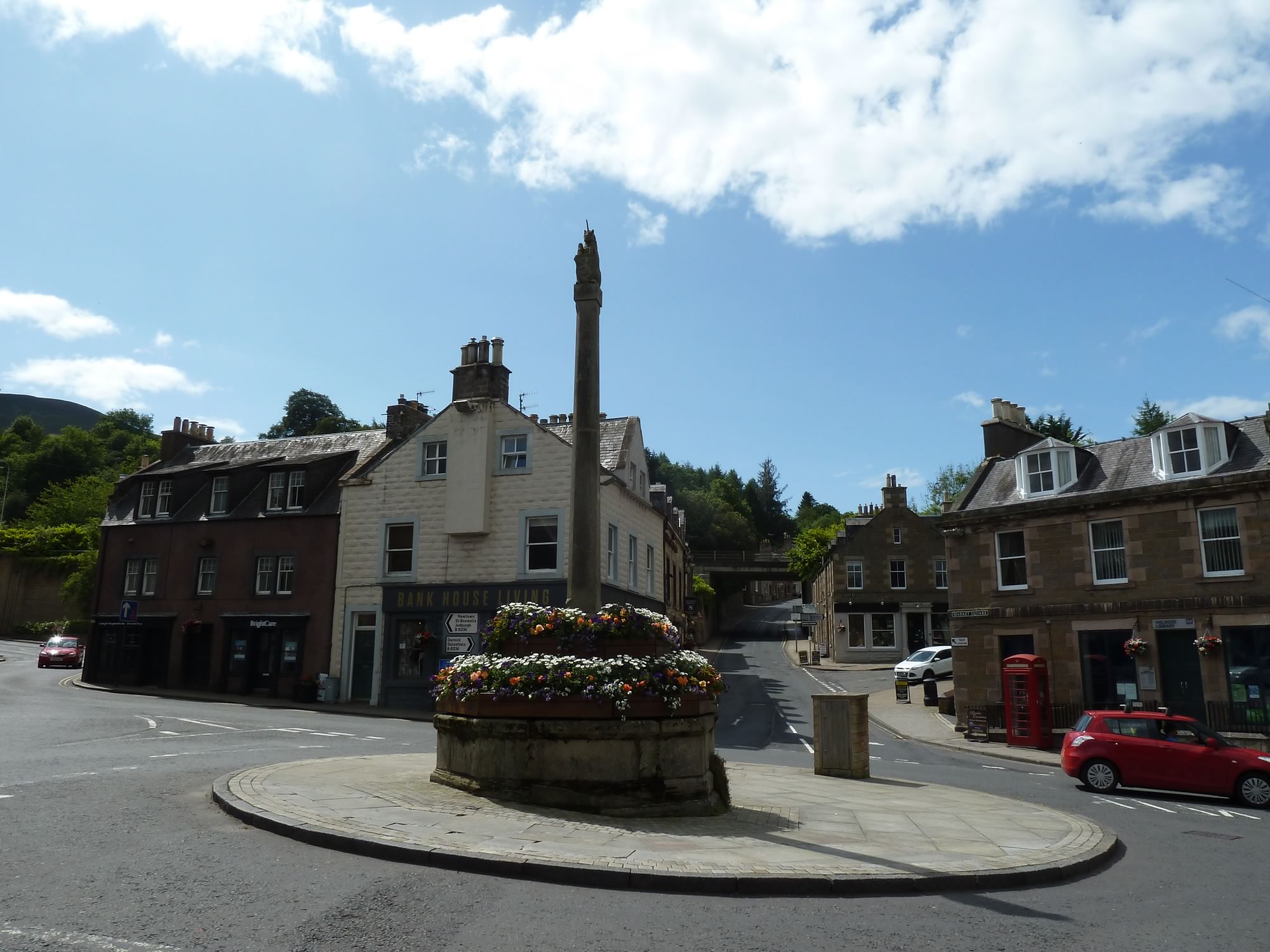
Melrose, which is just a couple of miles away from the station, was bathed in the morning sun.
While Simon drank his coffee, I took pictures of the Mercat Cross in the main square. In Scotland, mercat crosses date back several centuries, and indicate that a place was granted the right to hold a regular market or fair.
11.31 – Mercat Cross in Market Square, Melrose
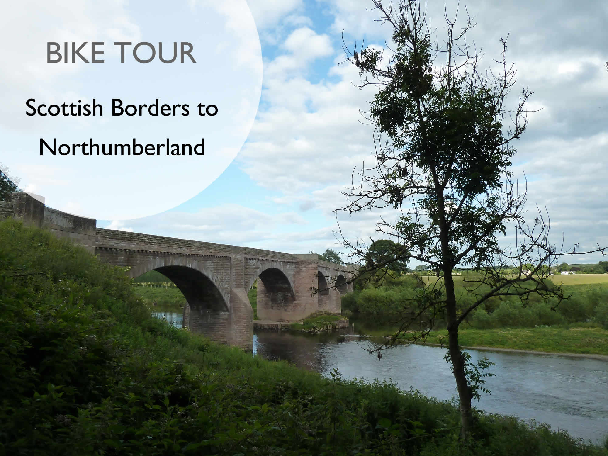
From Melrose we headed for Newtown St Boswells and here, at Dryburgh, we crossed the river Tweed.
12.08 – Bridge over the river Tweed at Dryburgh
Throughout this trip, the river Tweed meandered never too far from us.
The weather forecast for today was mild with a light breeze and broken cloud. Everyone seemed happy.
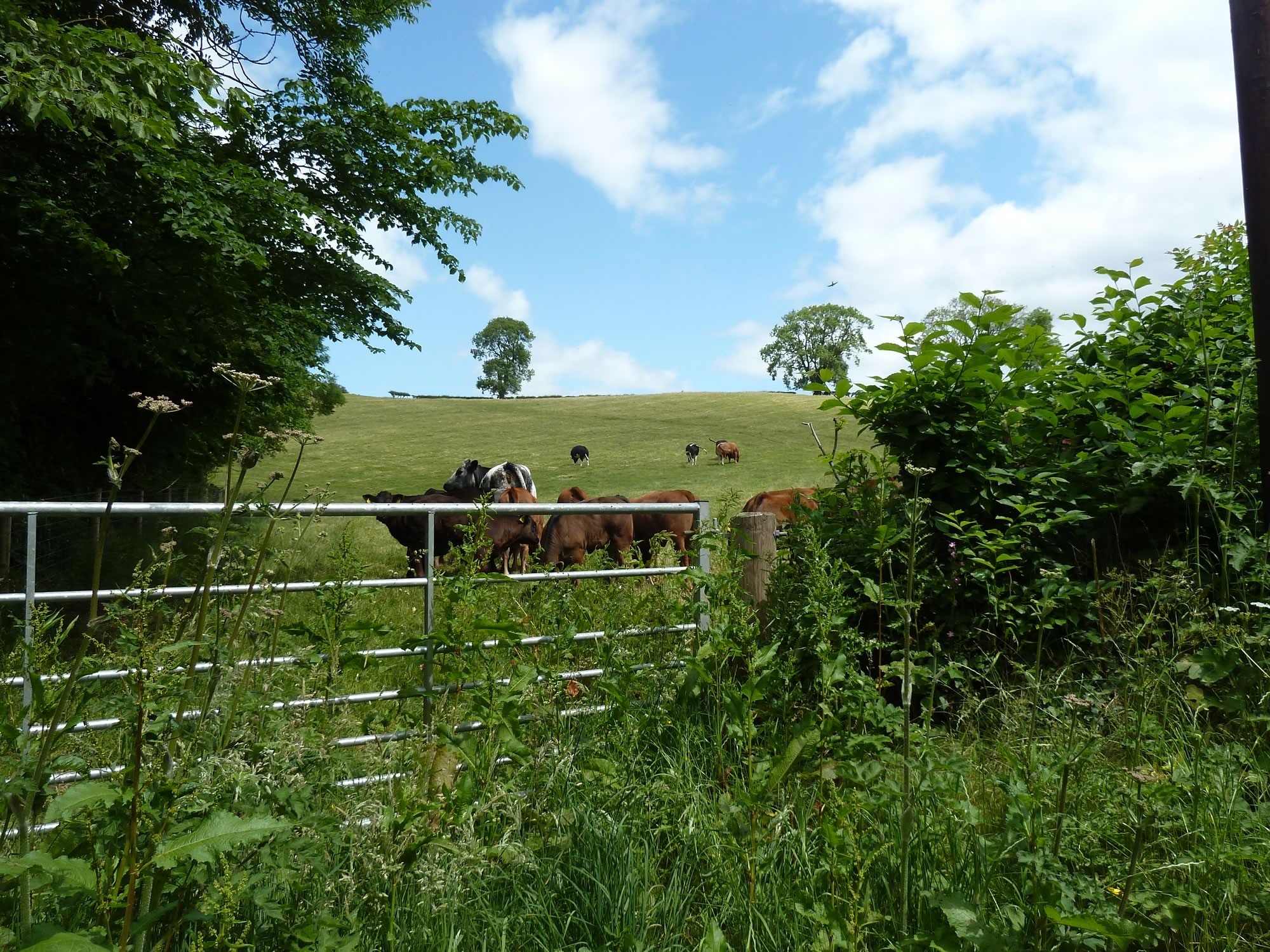
12.28 – Scottish cattle enjoying the sun
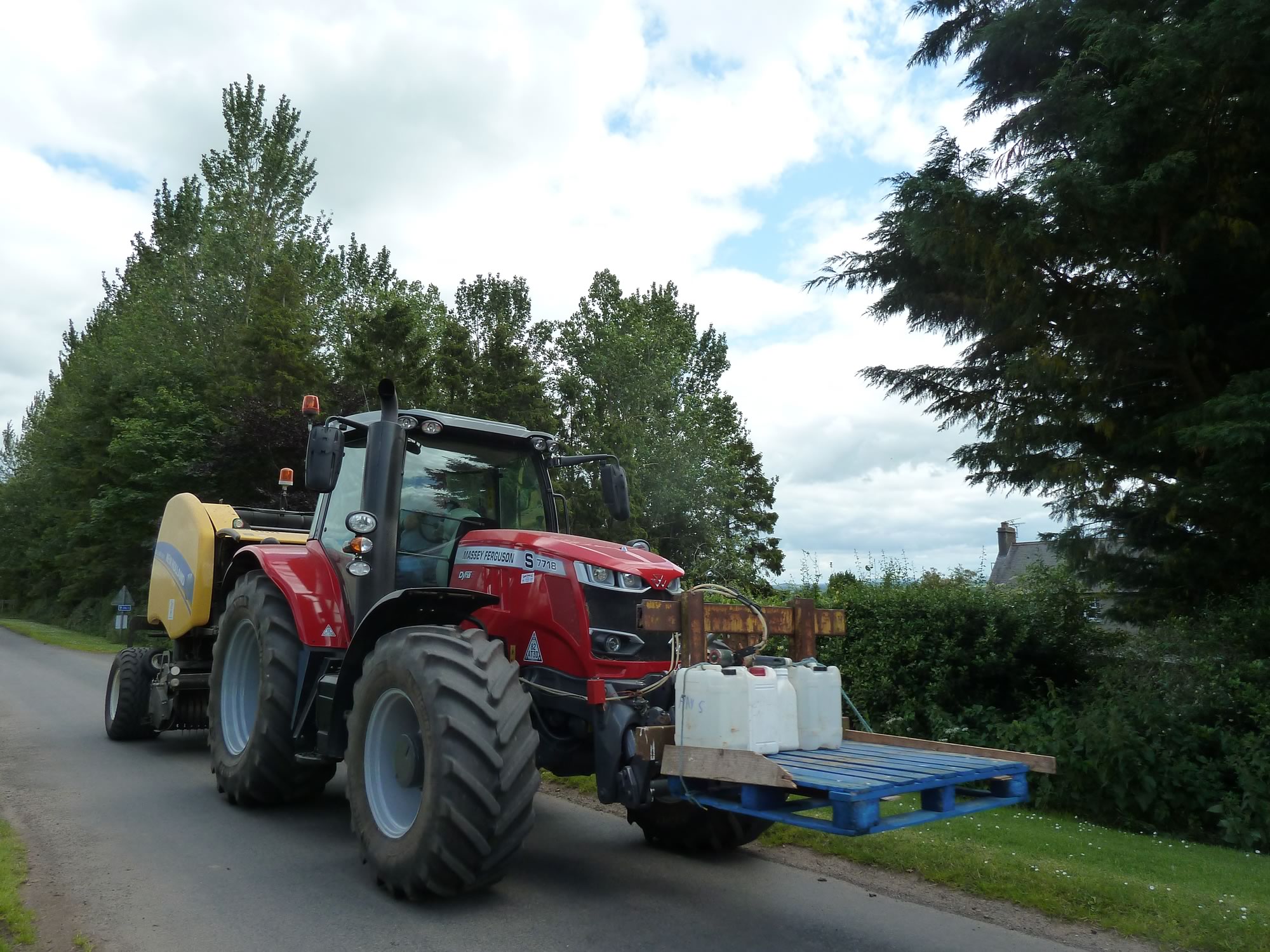
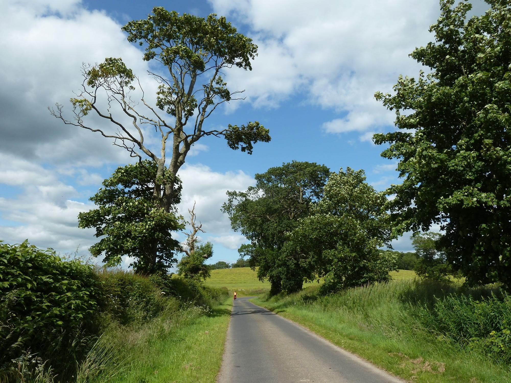
We tootled along the narrow country lanes, meeting hardly any vehicles; just the occasional splendiferous set of wheels.
13.07 – Another splendid toy for Maria’s collection
Our next destination was Kelso, the seat of one of the four ruined abbeys in the Scottish Borders.
Arriving in Kelso
The other three ruined abbeys are in Dryburgh, Melrose and Jedburgh. They were all established by David I of Scotland in the 12th century.
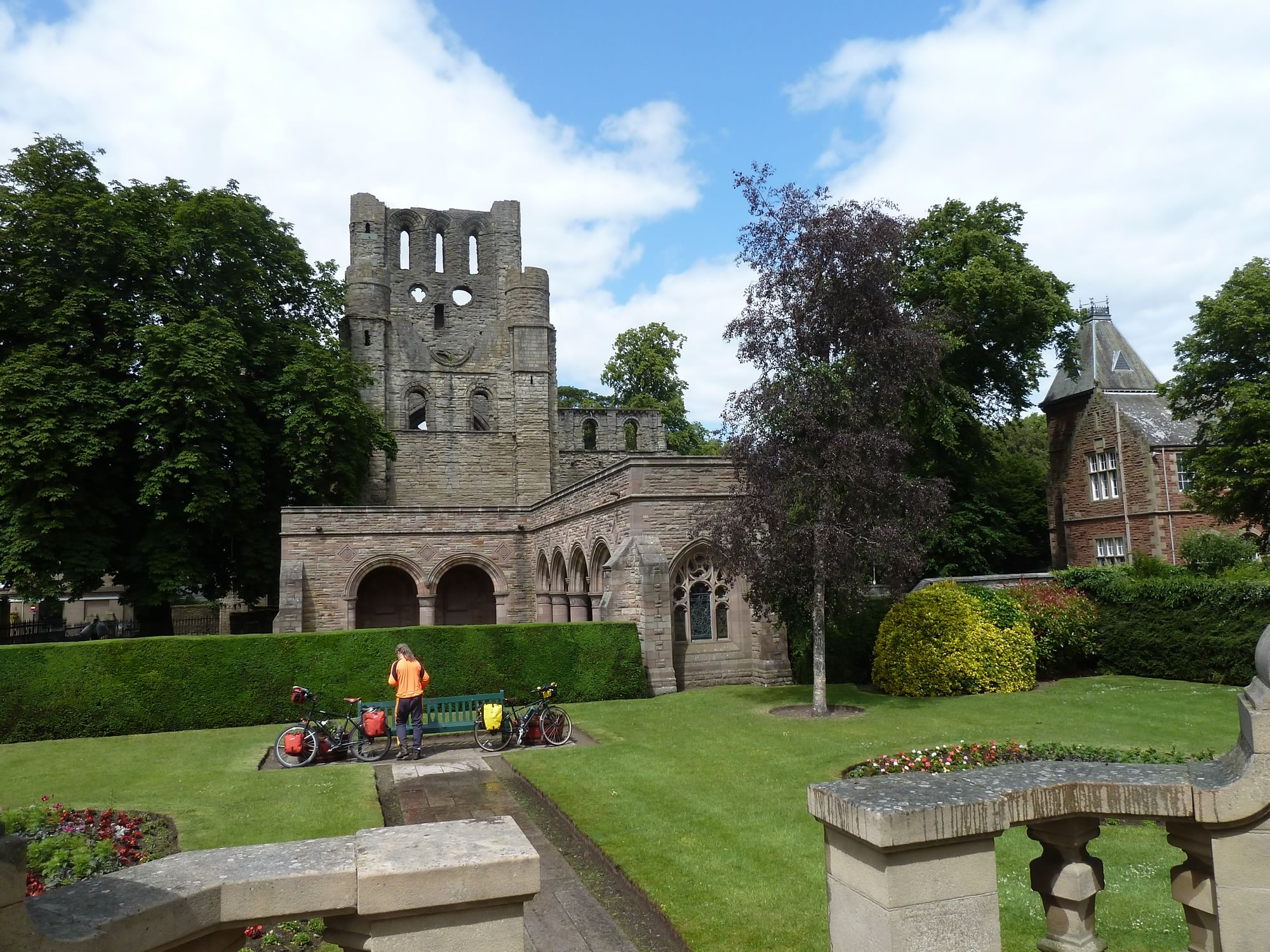
By the time we arrived in Kelso (population: 5,639) we were ready for lunch. We grabbed this bench, and munched away while we admired the ruined abbey.
13.51 – Lunch with a view of Kelso abbey
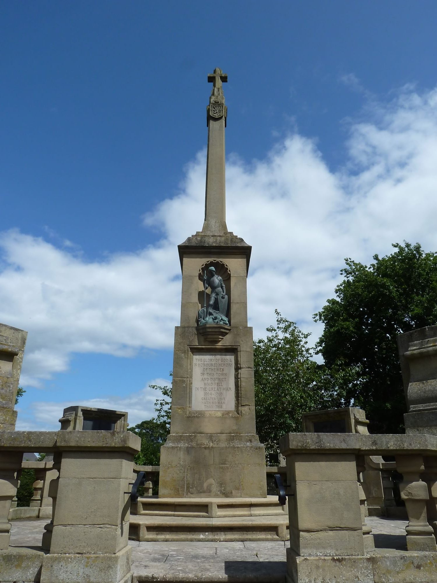
At the other end of the park you can see this WWI memorial with an inscription that reads:
“To the glory of God & in honoured memory of the men of this town and district who fell in the Great War 1914-1919. Greater love hath no man than this.”
Thanks to those men (and presumably some women) we enjoy our personal freedom today, the only possession we can never afford to lose.
14.12 – WWI memorial next to Kelso abbey
We left sunny Kelso and cycled along a myriad country lanes avoiding the bigger roads. The world seemed empty, except for the occasional sheep, cattle, and a non-trivial amount of flies that visited us on and off.
– “At least they’re not midges”, remarked a wise guy we encountered.
16.11 – Simon cycling towards Eccles
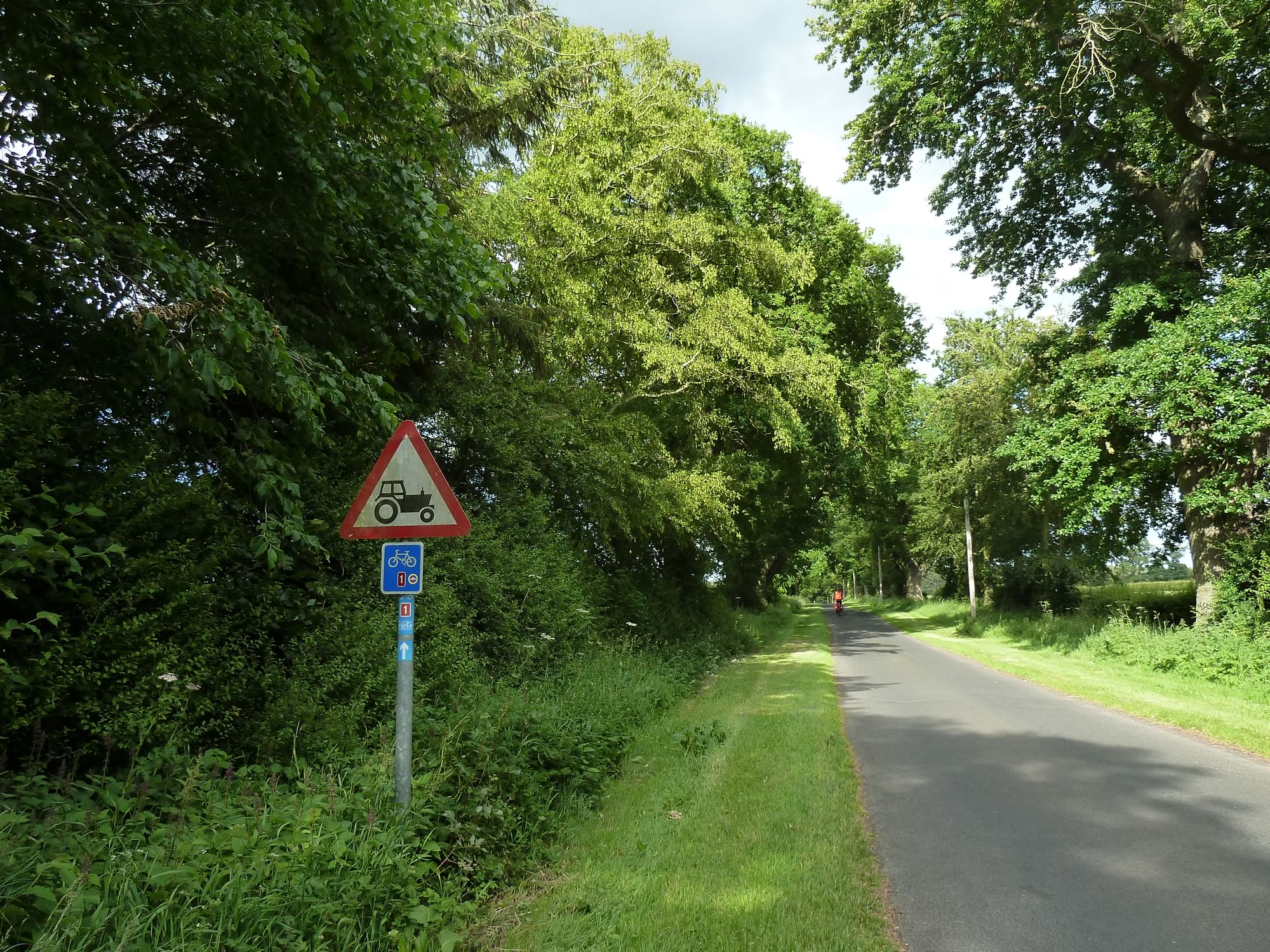
One of the things that kept me entertained the most on this trip were the road signs. This one was a prophesy of great things to come.
17.21 – Maria’s favourite road sign
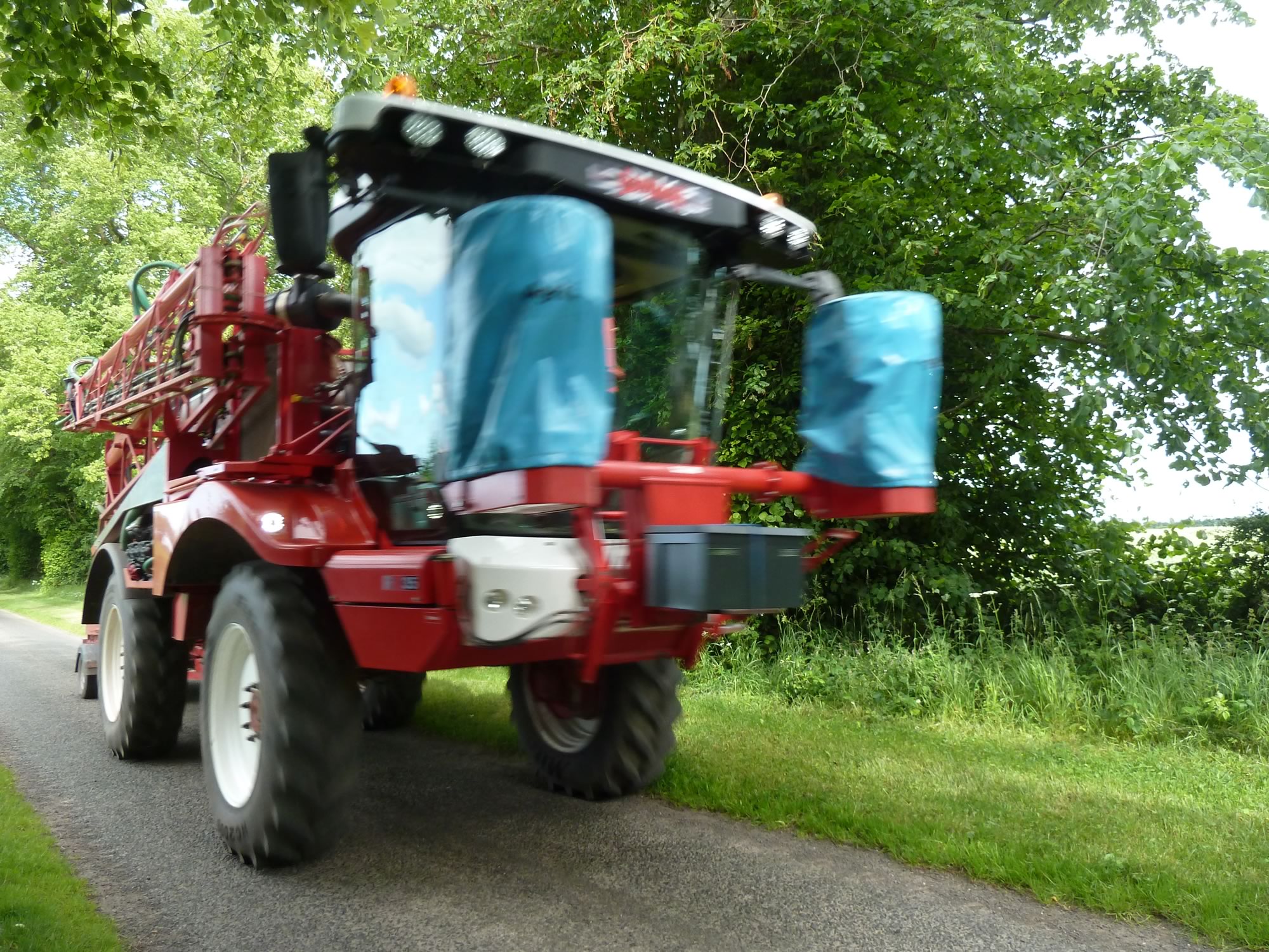
And we didn’t have to wait long.
17.27 – When I’m big, I want one of those
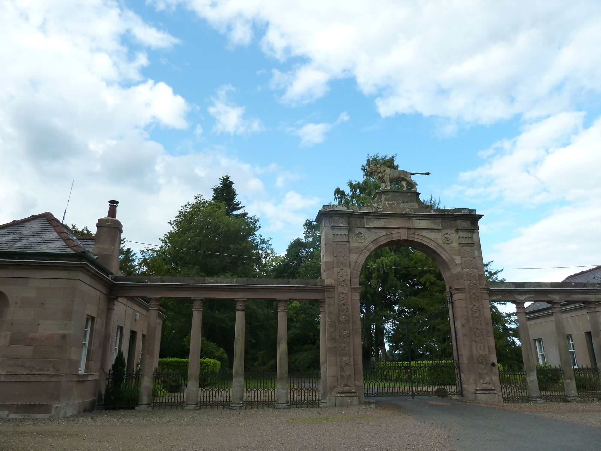
Then we came across this uninspiring gate and its pointy-tailed lion.
17.46 – Can you spot the lion?
Soon after that we crossed the river Tweed, which here is the border between Scotland and England.
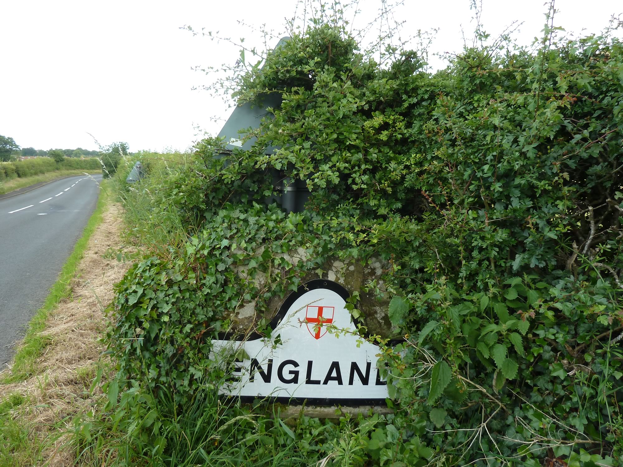
Welcome to England
At the other end of the bridge, you’re greeted by this inconspicuous sign. You can almost hear it say:
– “Hello, it’s me, England. I’m down here. Hello? Can you see me?”
18.06 – Crossing over to England
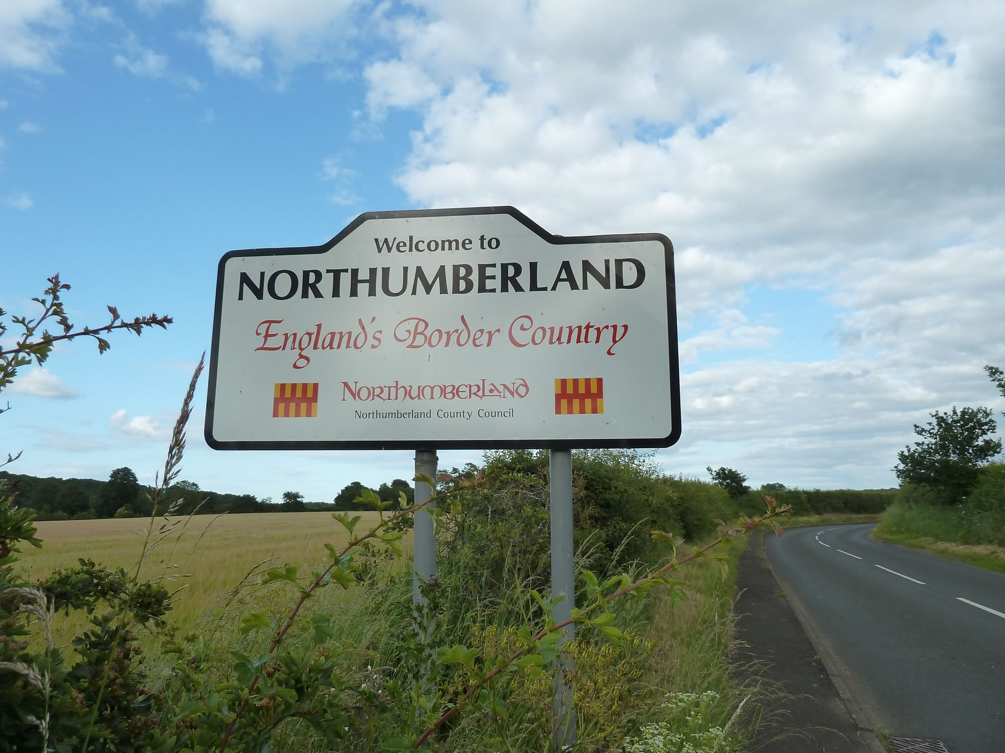
A few yards away, large and jazzy, Northumberland announces itself. In case you’re curious, this is how you say it: /nɔːrˈθʌmbərlənd/
18.08 – Peaceful Northumberland in the evening sun
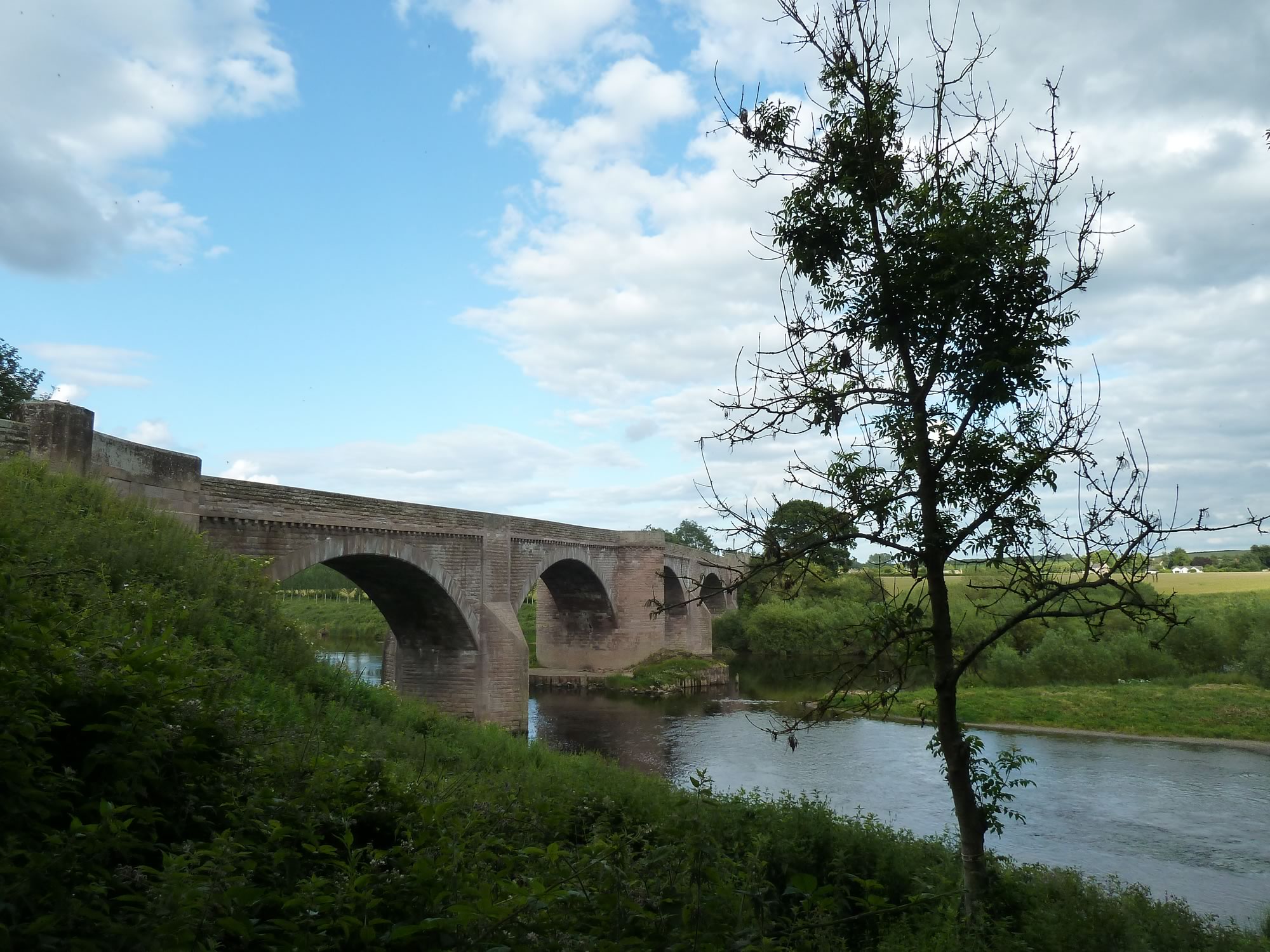
After taking those pictures, we were going to head off, but I couldn’t leave without a photo of the stunning bridge.
So I got off my bike, crossed the bridge on foot, and went down a path to get the best view of it. Here’s a photo of both Scotland and England.
18.12 – View of England from Scotland
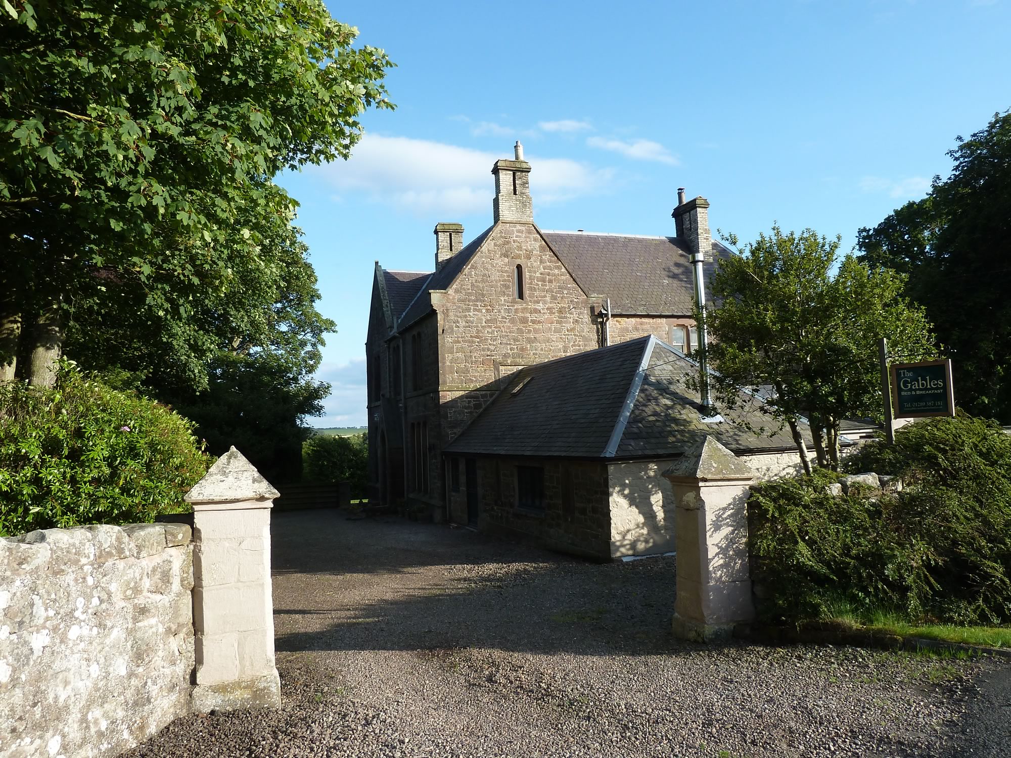
Our B&B was just a few miles from the border.
19.23 – Our awesome B&B
It was a fantastic house with an elegant bedroom, beautiful bathroom, yummy breakfast, and a wonderfully chatty owner.
Day 2 – Wednesday, 3 July: map & data
Total climbing: 486 m
Total time: 07:22:48
37 mile cycle, 7h20 from 10.20 to 17.40 – average 5.1 mph, with breaks
On day 2 of our tour we had plenty of time to get to Craster, our destination.
Breakfast was a leisurely affair. The B&B owner kept us entertained with his stories, and before we left he showed us the self-catering cottage he was having built next to the house.
No doubt we’ll be back. I love chatty people.
Leaving the B&B
It was another beautiful summer’s day. The owner of the B&B had told us the country lanes would be empty, but we weren’t expecting to have them to ourselves. There was hardly a soul on the road.
And so, peacefully and happily, we arrived in Fenwick (population roughly 1,200).
10.20 – Simon on one of our dozens of country lanes
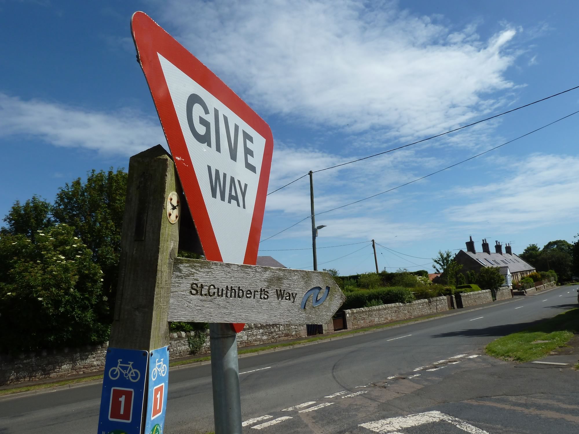
Fenwick is one of the villages you go through when you walk the St Cuthbert’s Way.
St Cuthbert was a 7th century monk, bishop and hermit from the Borders who worked at Melrose Abbey, in the Scottish Borders, and died on Holy Island, on the Northumberland coast.
The St Cuthbert’s Way follows his footsteps and goes from Melrose to Holy Island, which is not too far from here, so this is the last stage of the 62.5 miles (100 km) route.
11.23 – Sign for the St Cuthbert’s Way in Fenwick
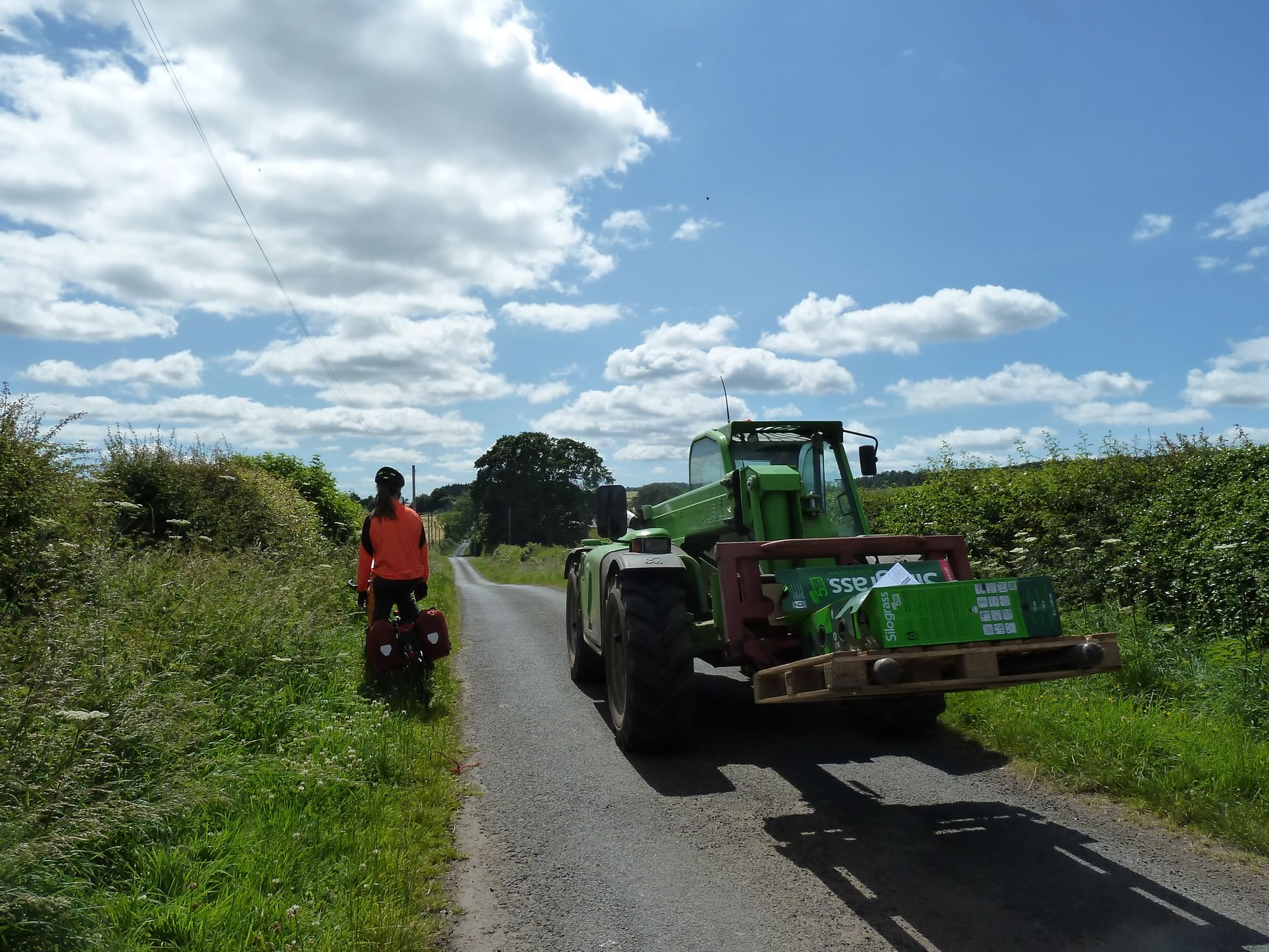
After a short break we headed for Belford, and soon another stupendous toy crossed our path.
11.56 – Bikes, country lanes & farming toys. A wee paradise.
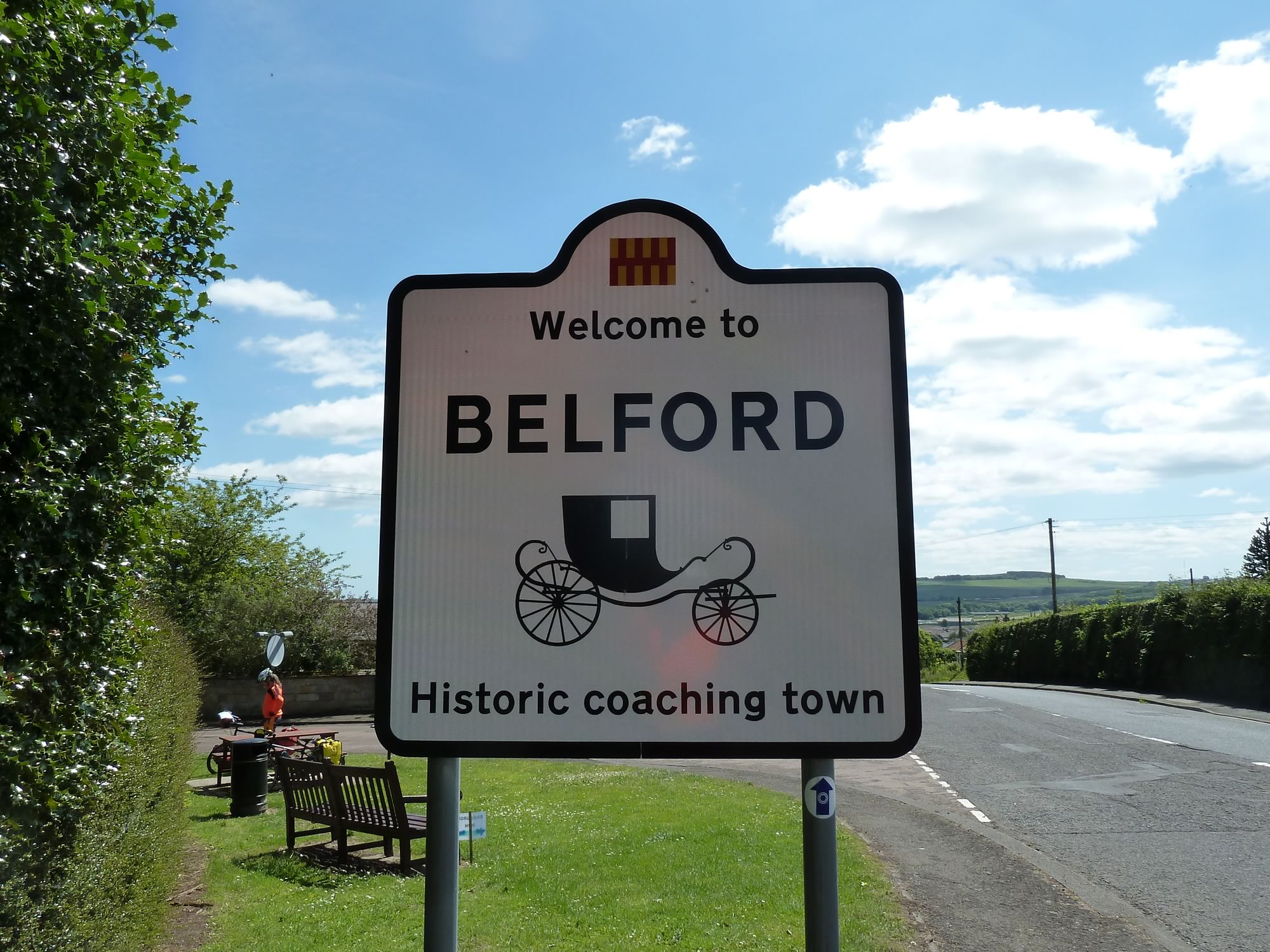
Arriving in Belford
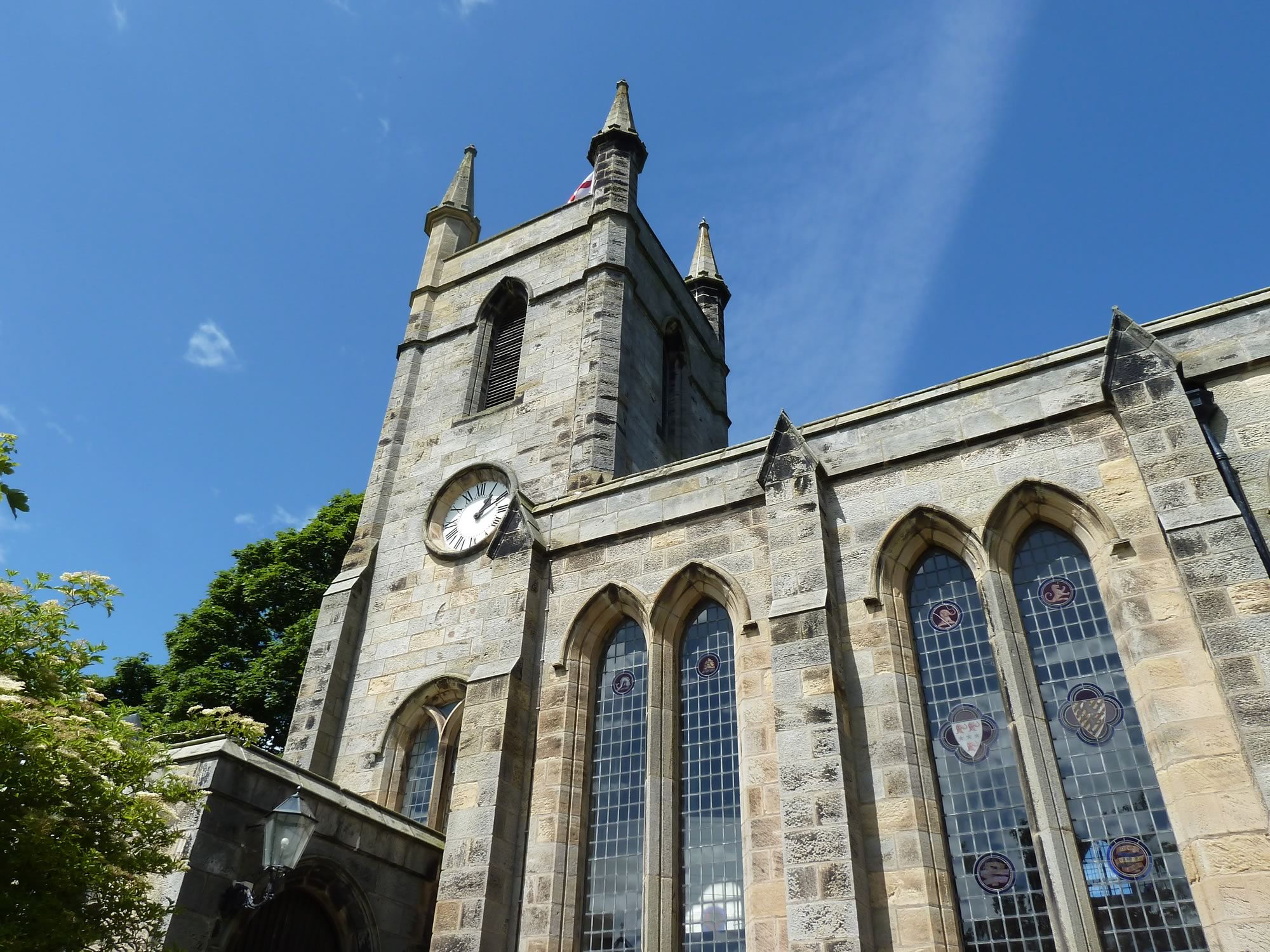
Belford (population 1,258) is a neat town with a magnificent church just off the main square.
13.07 – Parish Church of St Mary in Belford
As we were leaving Belford, I stopped to take a picture of this carriage, so reminiscent of the journeys described by Dickens in his novels.
13.24 – Travelling back to Victorian times
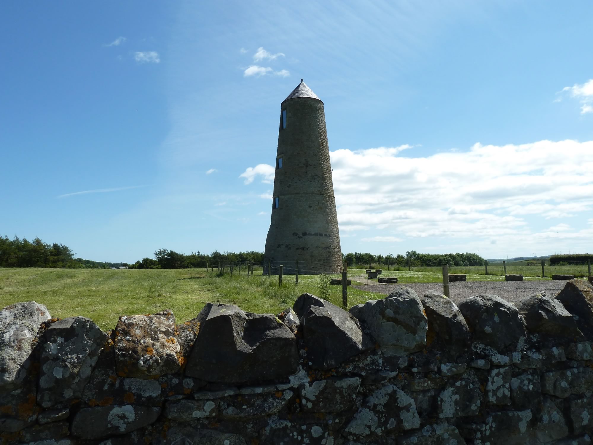
We were tootling along the narrow roads when we suddenly came across this curious construction.
At first we thought it was an old mill, but the sign on the gate says: “Its last use was as a pigeon dovecote. It may have been built for visual impact as it is too tall and narrow for an ideal dovecote.”
A dovecote, pronounced /ˈdʌvkəʊt/, is a small building for pigeons or similar birds to live in; and to provide a sustainable supply of meat, eggs and manure.
13.51 – The Outchester Ducket
Bamburgh & its castle
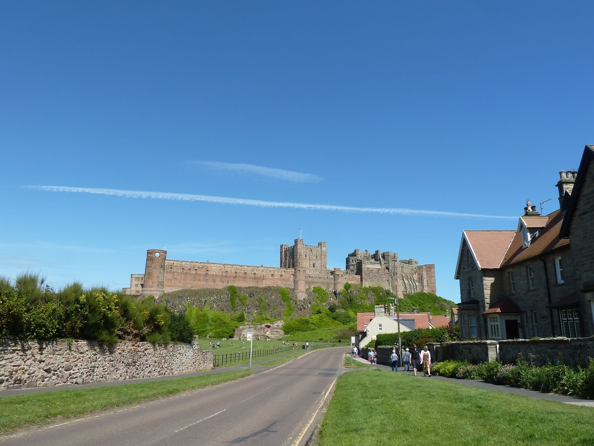
From here it was all downhill to Bamburgh, pronounced /ˈbæmbərə/, and its imposing castle.
Bamburgh castle dates back to the 11th century, and was the seat of the former Kings of Northumbria.
The village of Bamburgh has only 400 inhabitants, but the streets were bustling with tourists.
14.32 – Bamburgh castle from Bamburgh town
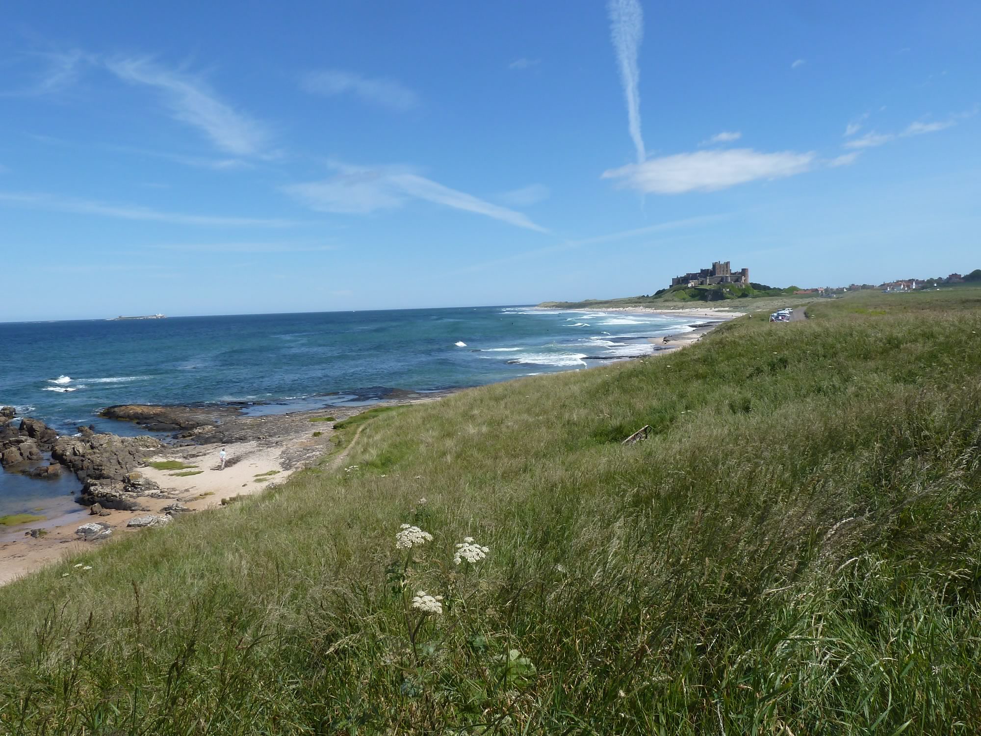
To avoid the crowds we cycled to the beach, then up a small hill, and parked next to a bench by the cliffs. By now we were both positively hungry.
From our commanding spot we could admire the magnificent castle and devour our lunch in peace.
15.15 – View of Bamburgh castle & town from the coast
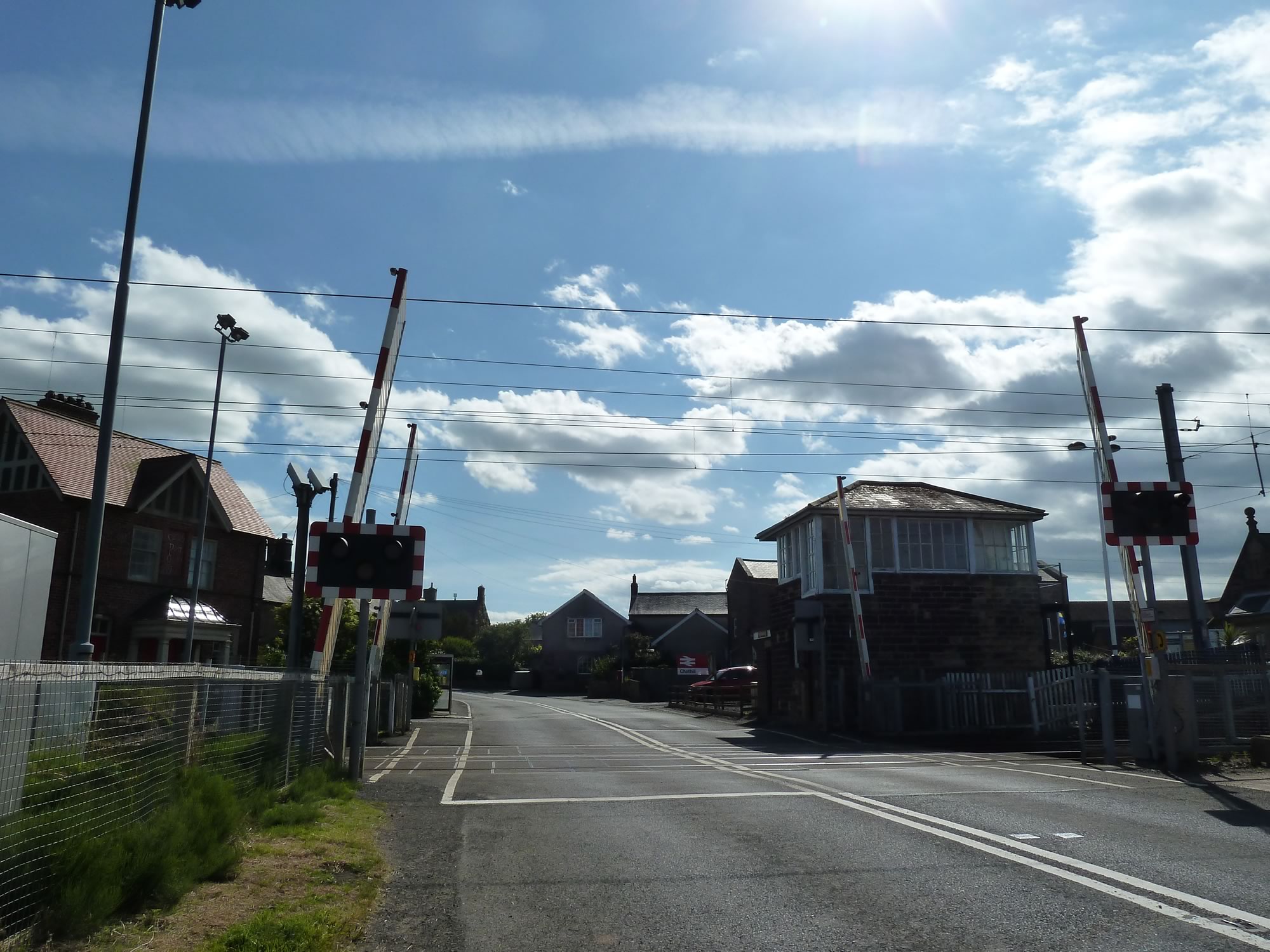
We rarely come across level crossings in Scotland, but they’re everywhere in the flat Northumberland countryside. All day long you can hear the trains tooting, miles away.
16.19 – Level crossing at Chathill station
An unexpected kick
Towards the end of our journey we took this cycle path that runs parallel to the coast.
Suddenly, something extraordinary happened. I was pedalling along, without a care in the world, when to my surprise I see Simon’s bike trying to throw him off its saddle, like a mad horse.
I was mesmerised. In all the years we’ve been cycling together, I’d never seen Simon lose his balance.
– “What happened?”, I asked once he had tamed his bike and had his feet firmly on the ground.
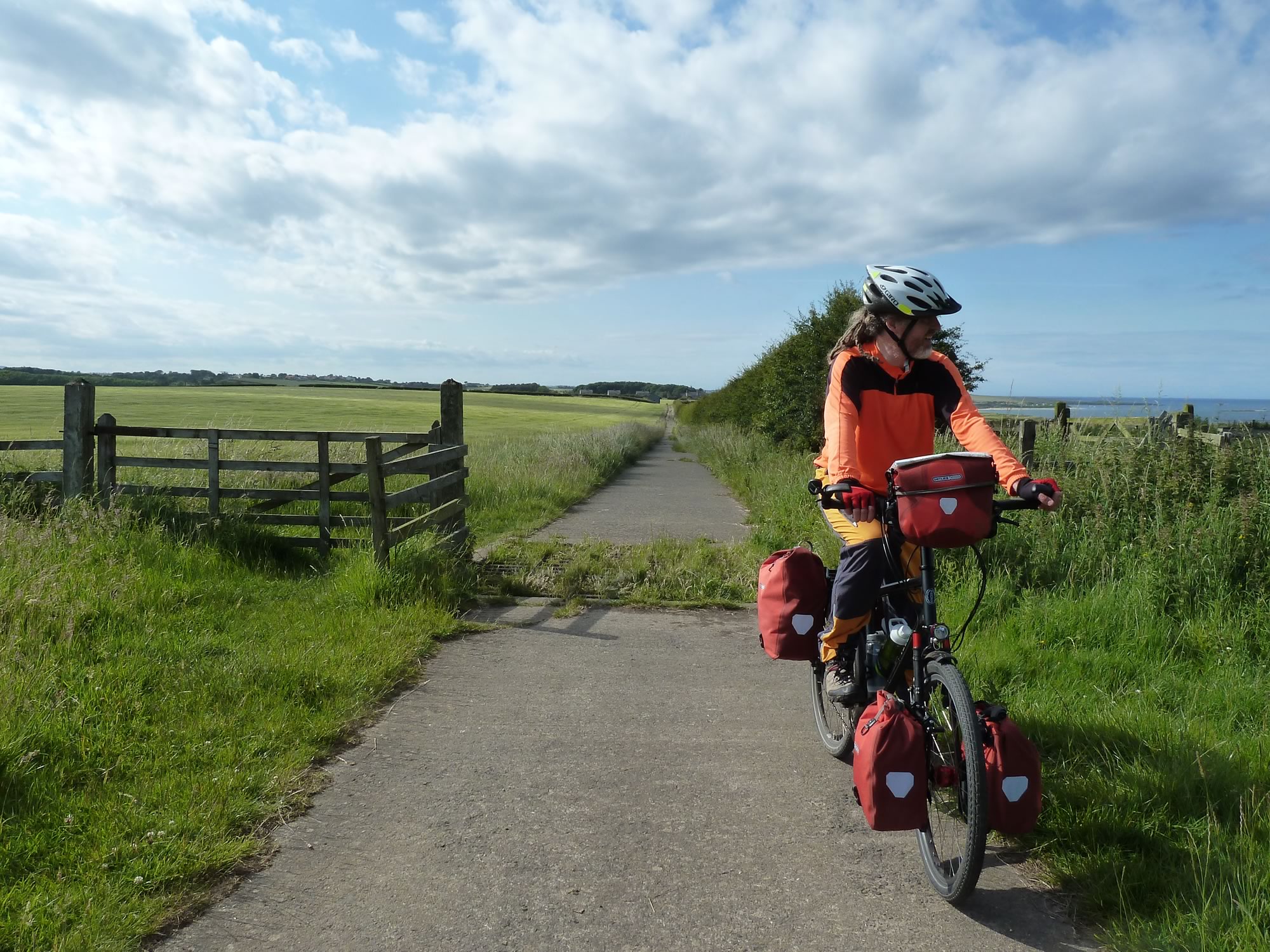
Apparently, the cattle grid he’d just crossed had slightly sunk as he was on it and he’d got out in the nick of time.
I was still on the other side of the cattle grid, so cowardly I opened the gate next to it and went through it to avoid any surprises.
17.24 – Simon & the treacherous cattle grid
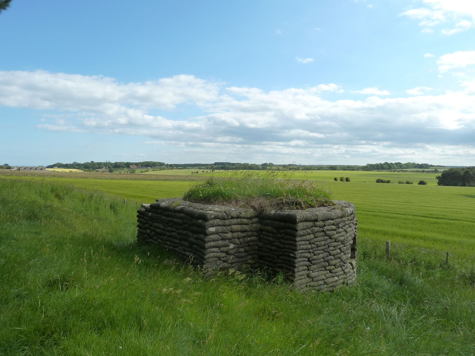
A few minutes later we cycled past this solitary remnant from the war.
17.26 – A witness to WWII
Twenty minutes after that we arrived in Craster, the small coastal village where we were to stay for four nights with Simon’s family before our cycle back to Edinburgh.
I took all the photos with the Panasonic.
