Friday, 24 May: map & data
Total climbing: 1114 m
Total time: 09:19:32
45 mile cycle in 9h20 from 11.00 to 20.20 – average 4.8 mph
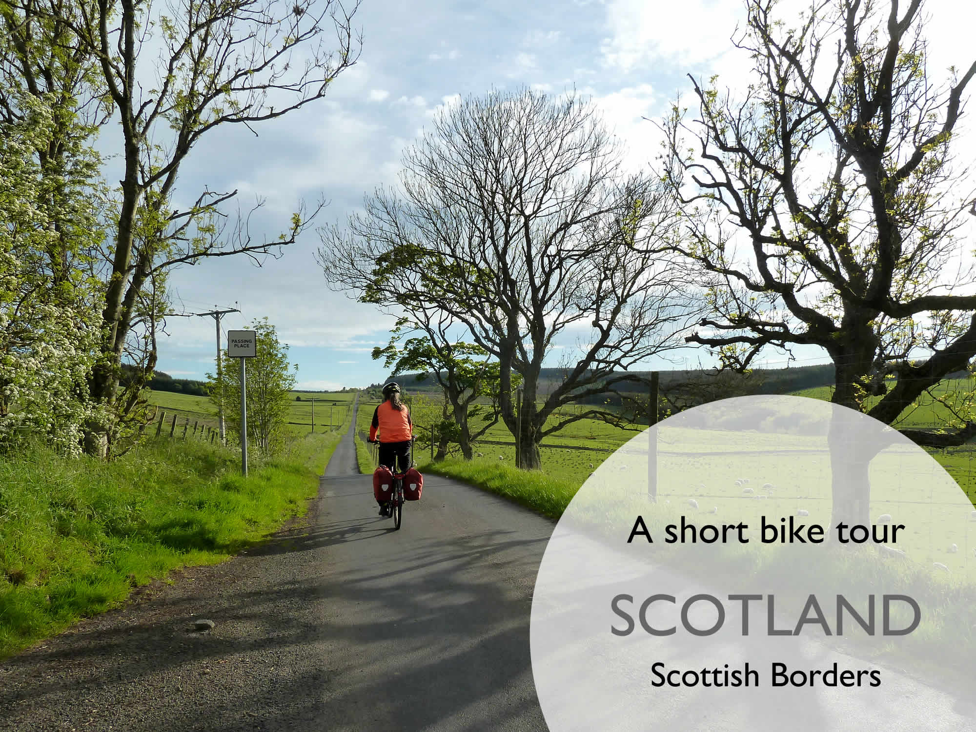
Every few weeks, we come to the Scottish Borders, a beautiful part of the world. I rarely take my camera with me, which means I have no photos to show you.
But this trip was special. Simon had planned a superb route, and we were going to stay at an idyllic B&B near Bonchester Bridge. It’d be our fourth stay there.
Off to the Scottish Borders
Armed with the tiny Panasonic, we arrived at Galashiels train station with our two bikes, four panniers, and a faint memory of our microscopic breakfast.
So much for our new diet.
11.19 – Leaving Galashiels
Knowing how very few shops there are in the villages around here, we went to the humongous Galashiels supermarket and bought lunch and dinner.
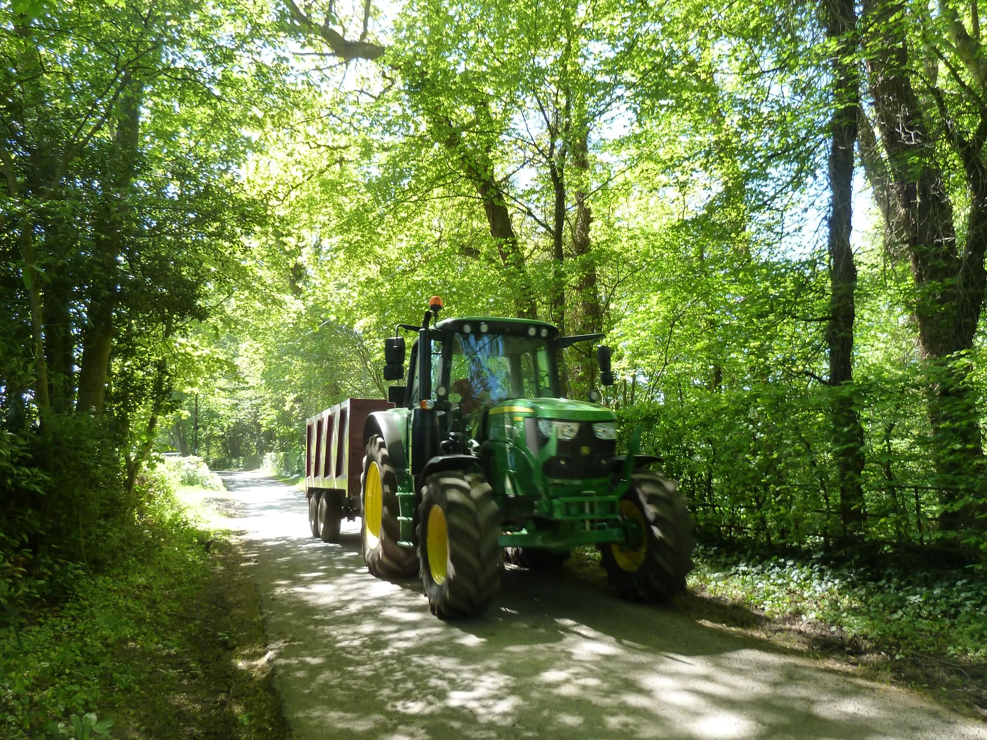
We had a happy start. Soon after we hit the road we bumped into this superb tractor. Isn’t it cute?
11.21 – Admiring one of my favourite toys
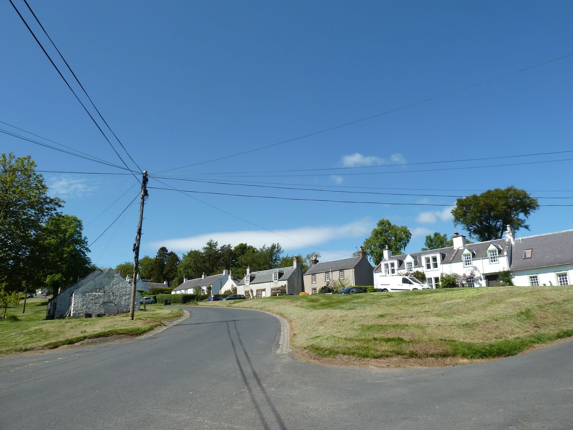
We continued on the B6453 and arrived in Midlem (population: 92). I remember we had lunch here once, in the park, but this time it was too early to eat, so we pressed on.
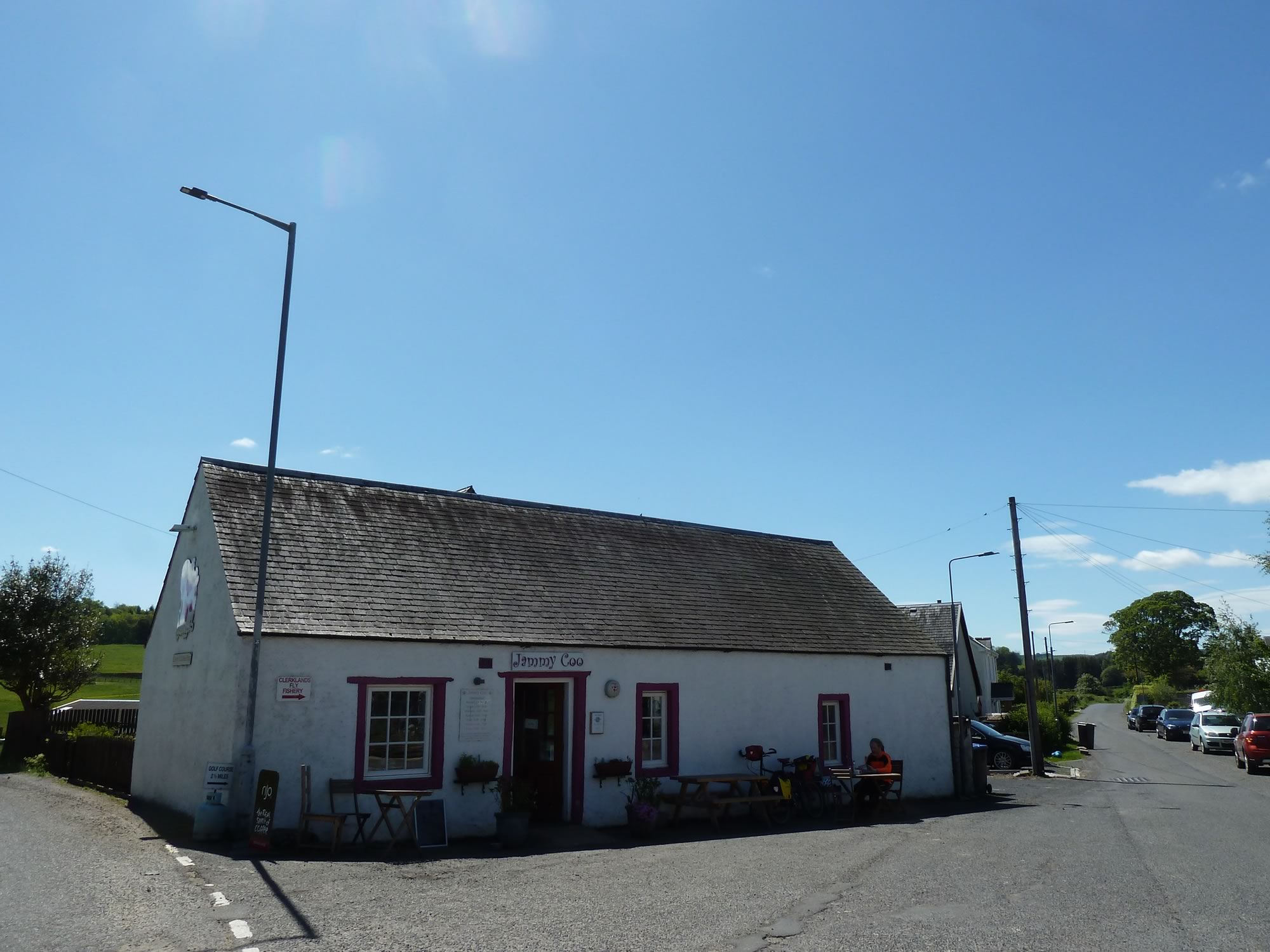
Besides, we both had our eyes set on the Jammy Coo, a little cafe in Lilliesleaf (population: 365) which we discovered a few years ago. “Coo”, by the way, means “cow” in the Scots language.
12.13 – The village of Midlem
When you’re cycling on a low-carb diet, you go up the hills huffing and puffing like an old locomotive.
Luckily for us, the Jammy Coo came to the rescue.
I had a brie, cranberry & spinach panini, and couldn’t resist the millionaire’s shortbread. Simon had leek quiche, and a slice of carrot & courgette cake.
Now, all was well. The world’s a jollier place when you’ve got carbs in your tummy.
12.41 – Paying a visit to the Jammy Coo cafe
Our next stop was Ancrum (population: 392).
A bit about Ancrum
The name of this pretty village comes from the Scottish Gaelic “Alan Crom”, meaning “bend of the river Alne”.
13.58 – Taking the B6400 to Ancrum
Ancrum has got a village shop with elusive opening hours. The last time we were here, a few months ago, it was shut. But this time we were lucky.
Simon bought himself a drink and sat in the park with the bikes, while I walked around with my camera in search of memorable photos for this post.
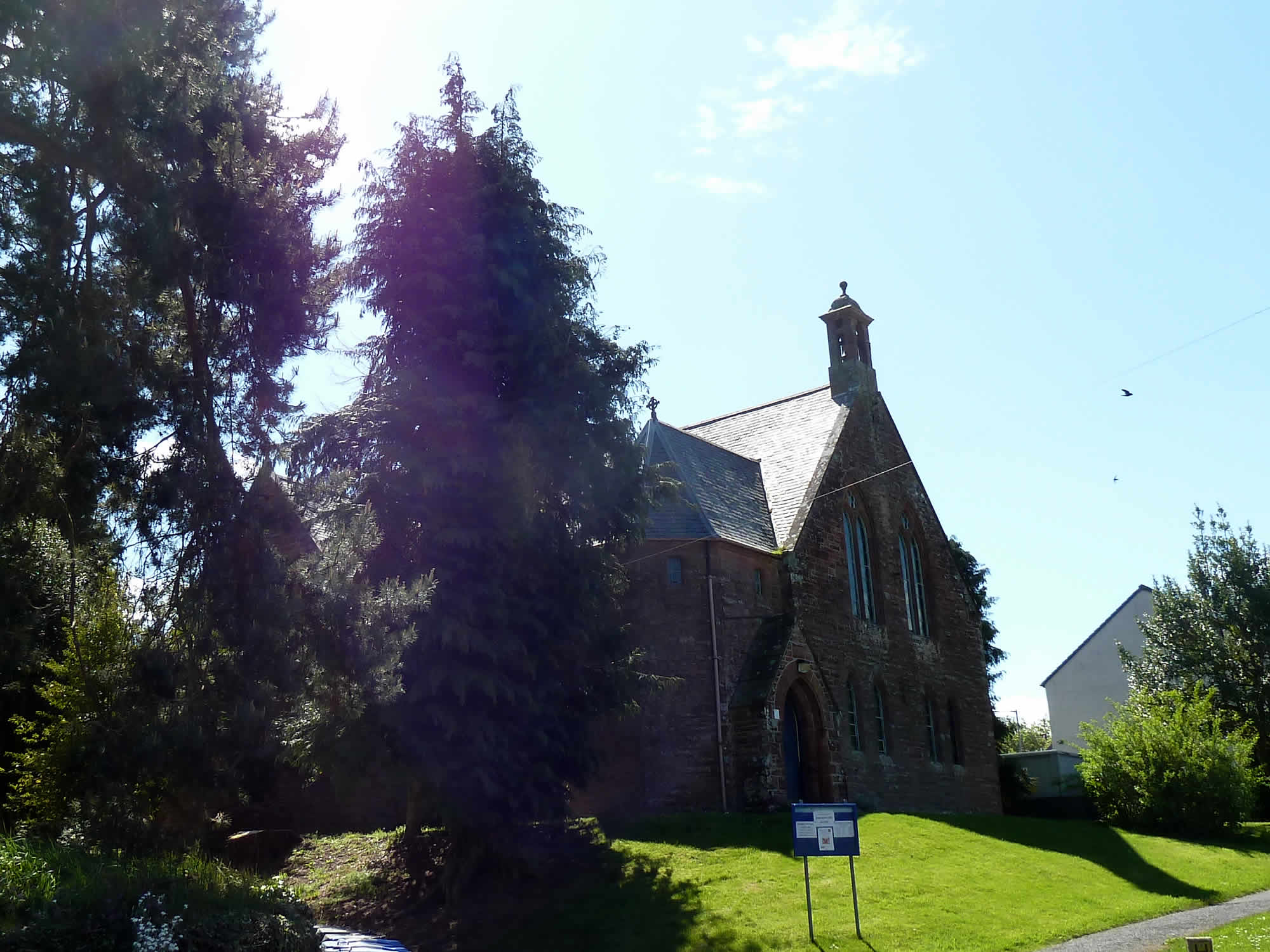
14.30 – Ancrum Kirk, Ale and Teviot United Church (Church of Scotland)
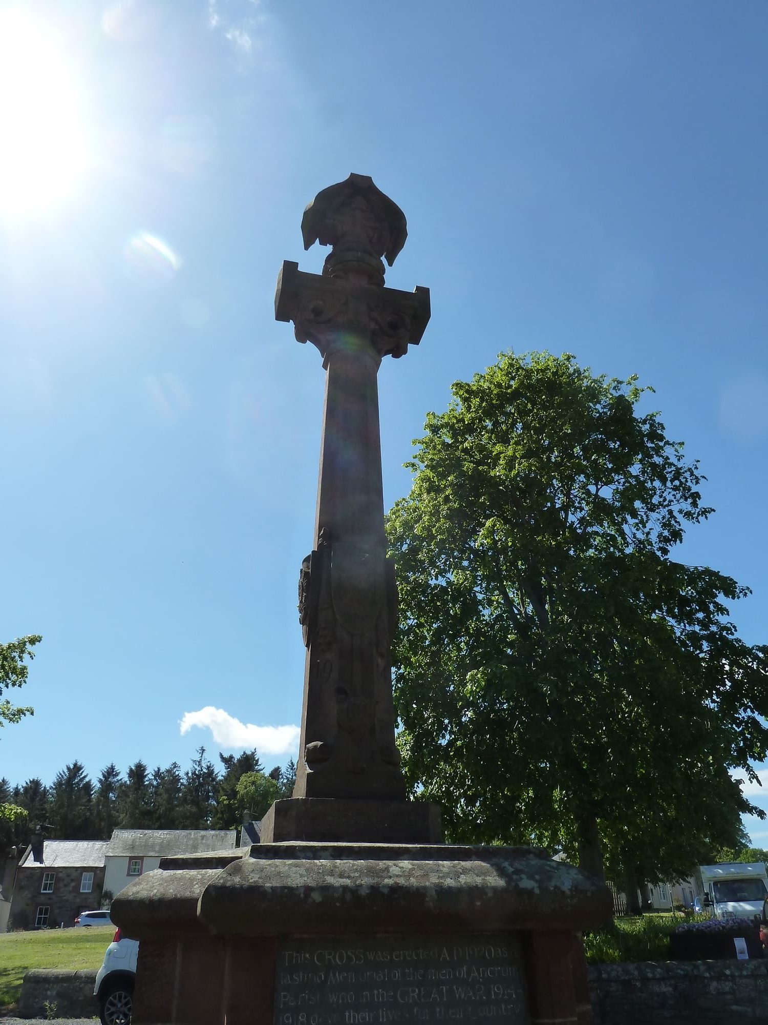
The inscription on this war memorial reads:
“This CROSS was erected AD 1920 as a lasting Memorial of the men of Ancrum Parish who in the GREAT WAR 1914-1918 gave their lives for their Country”.
Below, there are the names of the fifteen men from this tiny Scottish village who died in “the war that was going to end all wars”.
Will we ever see the day when we no longer need to build those memorials?
14.42 – WWI Memorial in Ancrum
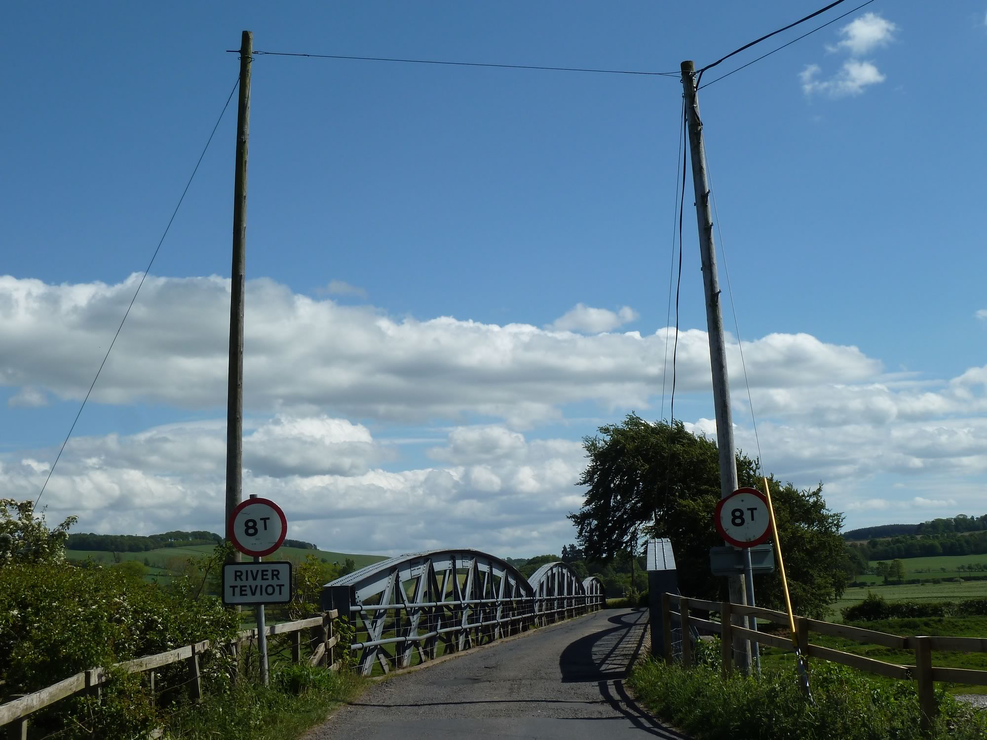
Our next destination was Jedburgh. To get there we continued on the B6400 and crossed the river Teviot here.
15.13 – Bridge over the River Teviot, near Nisbet
If we’d gone on a straight line from Galashiels to Bonchester Bridge, our destination, we’d have done only 25 mi.
To stretch the route, we did a tour of the Scottish Borders, avoiding the bigger roads, cycling past some familiar places, and some new ones.
That’s why, if you look at the map above, our route resembles a tipsy snake.
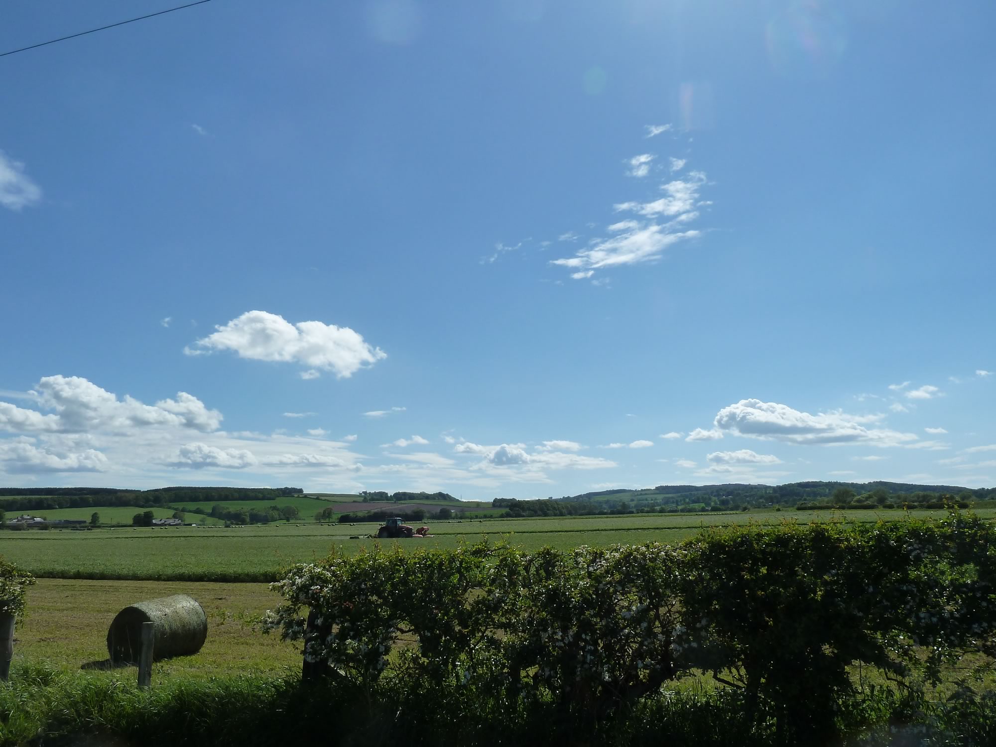
15.16 – Farming on a gloriously sunny day
Crossing a Roman road
A few miles before Jedburgh, we left the A698 and took the path that runs along the Jed Water. At the beginning of it, if you look to your left, you see Dere Street.
I was doing some research just now and I’ve learned that Dere Street is the modern name of the Roman road that ran from York, in the north of England, to roughly Falkirk, east of Edinburgh.
15.30 – Dere Street, an ancient Roman road
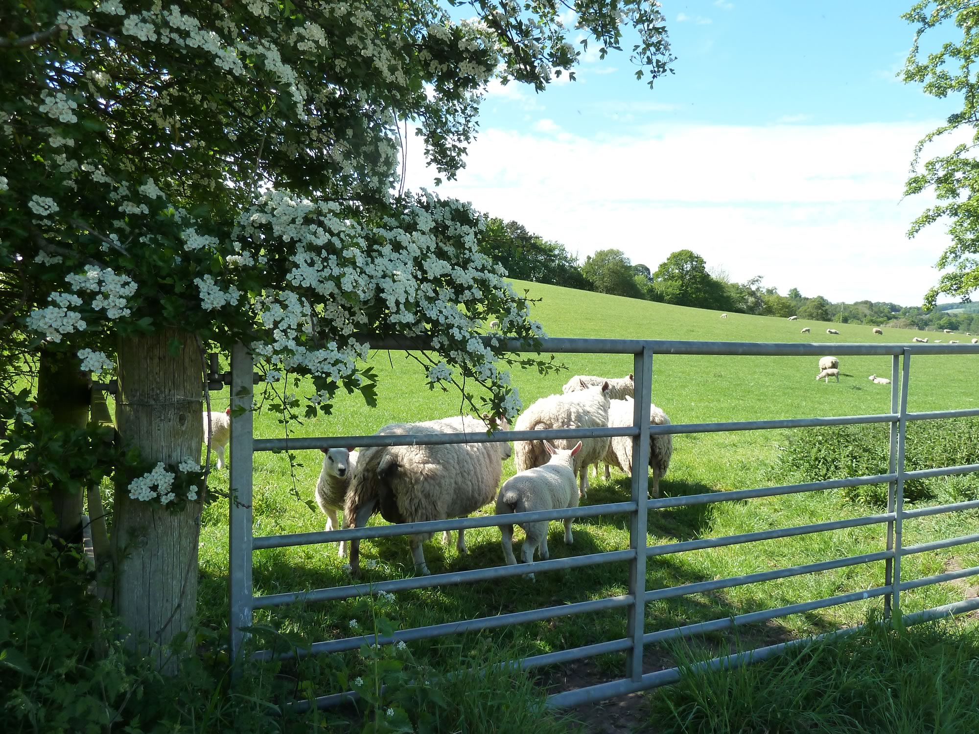
Sheep are everywhere in the Scottish Borders, and their offspring are never too far behind.
In March you start spotting the new-born lambs, and you see them grow as the weeks go by. On some farms they’re born in late April, and even in May, so there’s always a chance to see the teeny-weeny ones wherever you go.
These bunch here are a couple of months old, but just as adorable, even if they’re fast learning to show their rear ends when they see my camera.
15.44 – Saying hello to the lambs
We pressed on and eventually arrived in Jedburgh (population 4,090).
A bit about Jedburgh
Jedburgh, pronounced /ˈdʒɛdbərə/, is a former royal burgh in the Scottish Borders which is only 10 miles from the border with England.
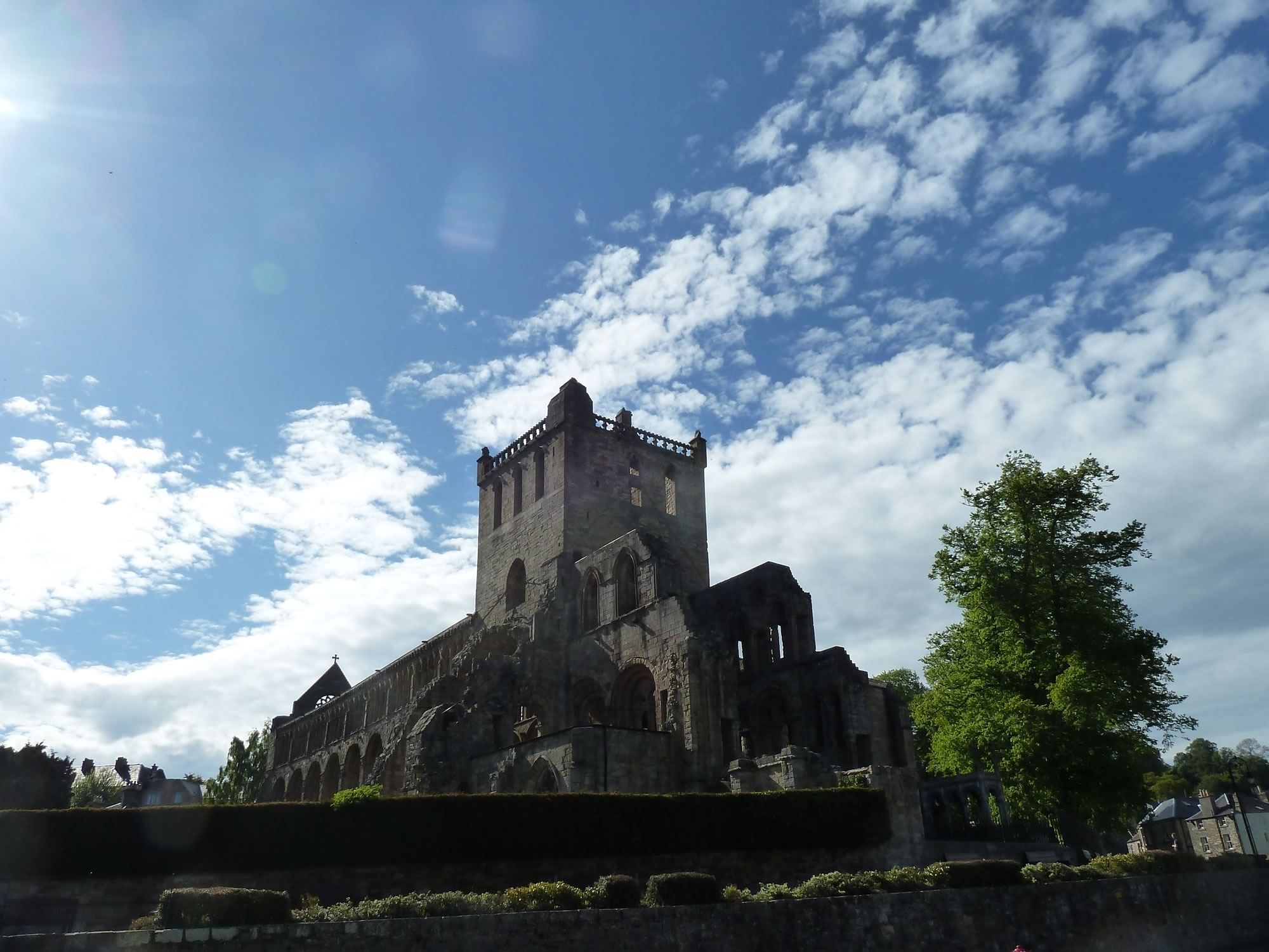
Bathed in a blazing sun, Jedburgh Abbey looked magnificent.
16.33 – The ruined Jedburgh Abbey
This is one of the four ruined abbeys established by David I of Scotland in the 12th century. The other three are in Dryburgh, Kelso; and Melrose, which we visited the following day.
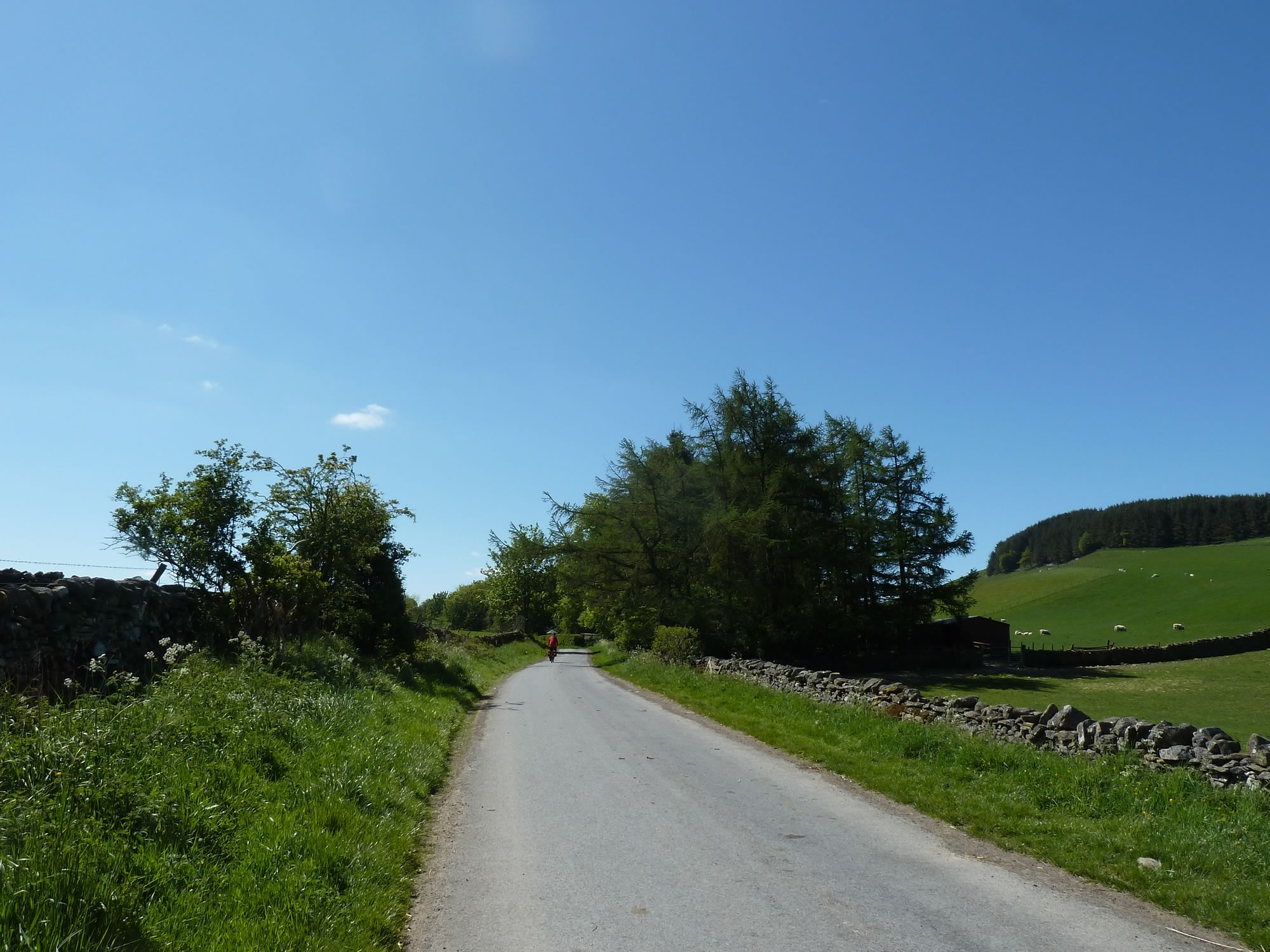
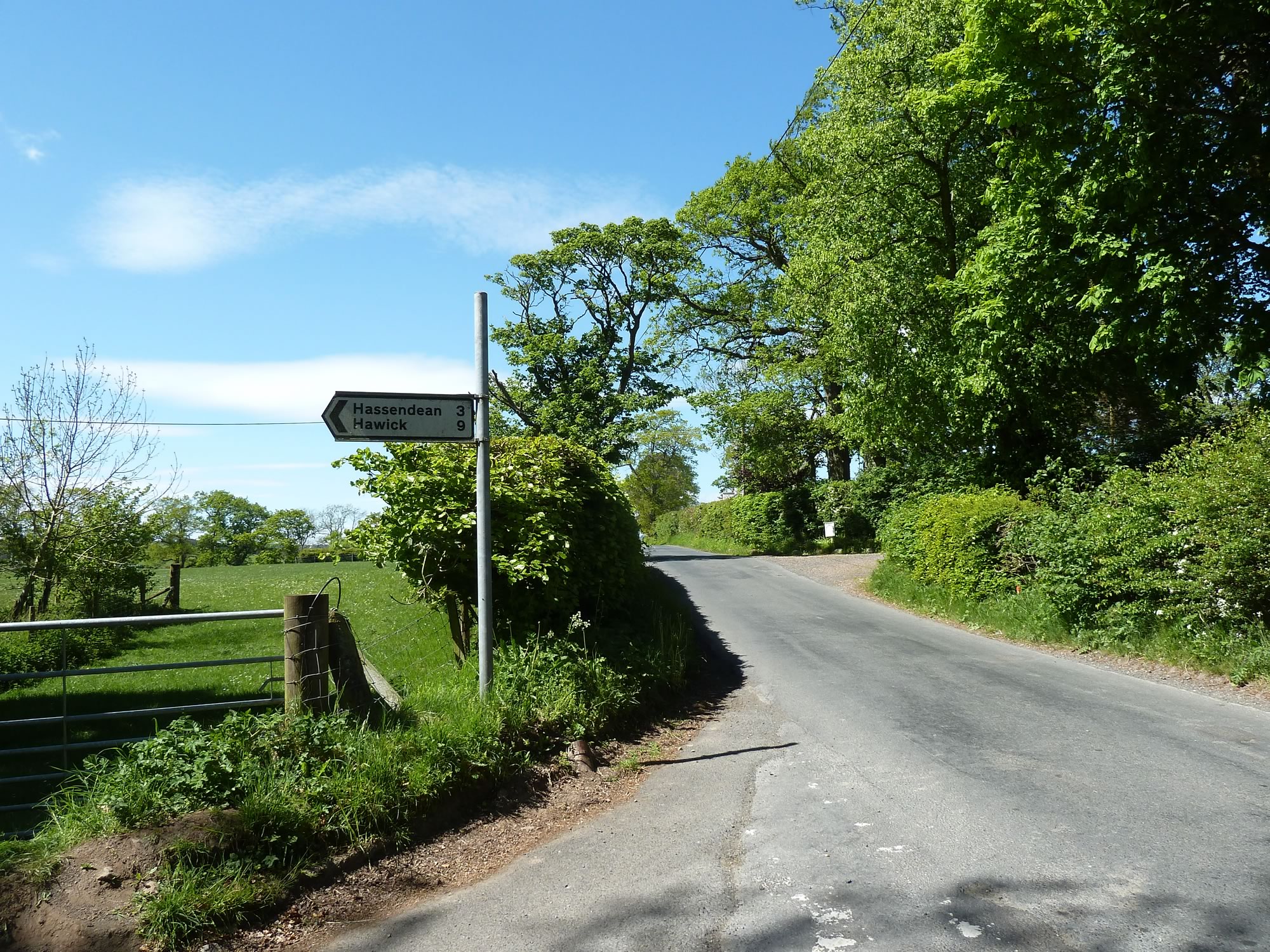
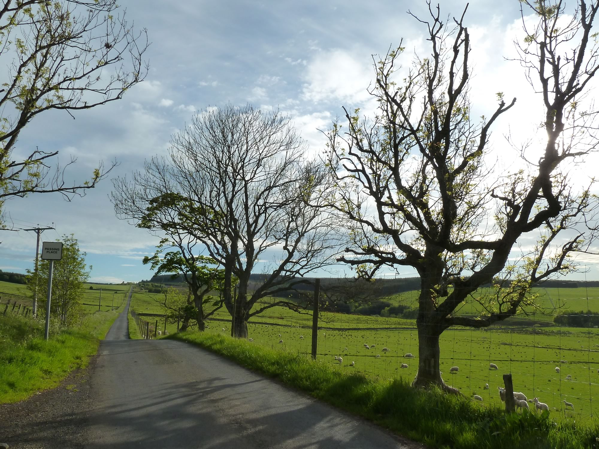
From Jedburgh, we tootled along a maze of unclassified single-lane roads.
An idyllic dinner
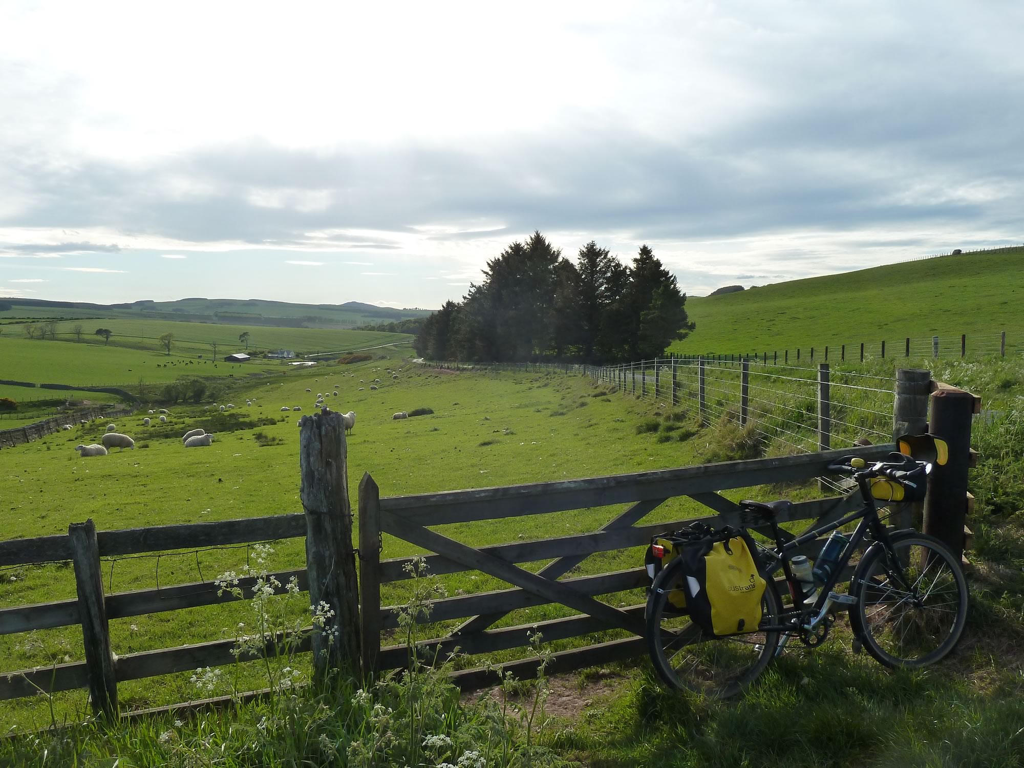
By now, lunch was a distant memory, so we stopped by this fence and had our assortment of sandwiches, cottage cheese, olives and other healthy goodies.
The first time we came to this part of the world we had dinner at the pub nearish the B&B. Big mistake. The place is run by a dour guy with a miserable face, and the fish and chips is almost inedible.
18.32 – Bumblebee & our dinner spot
Preferring the company of sheep, we parked our bikes by this fence and polished off our dinner.
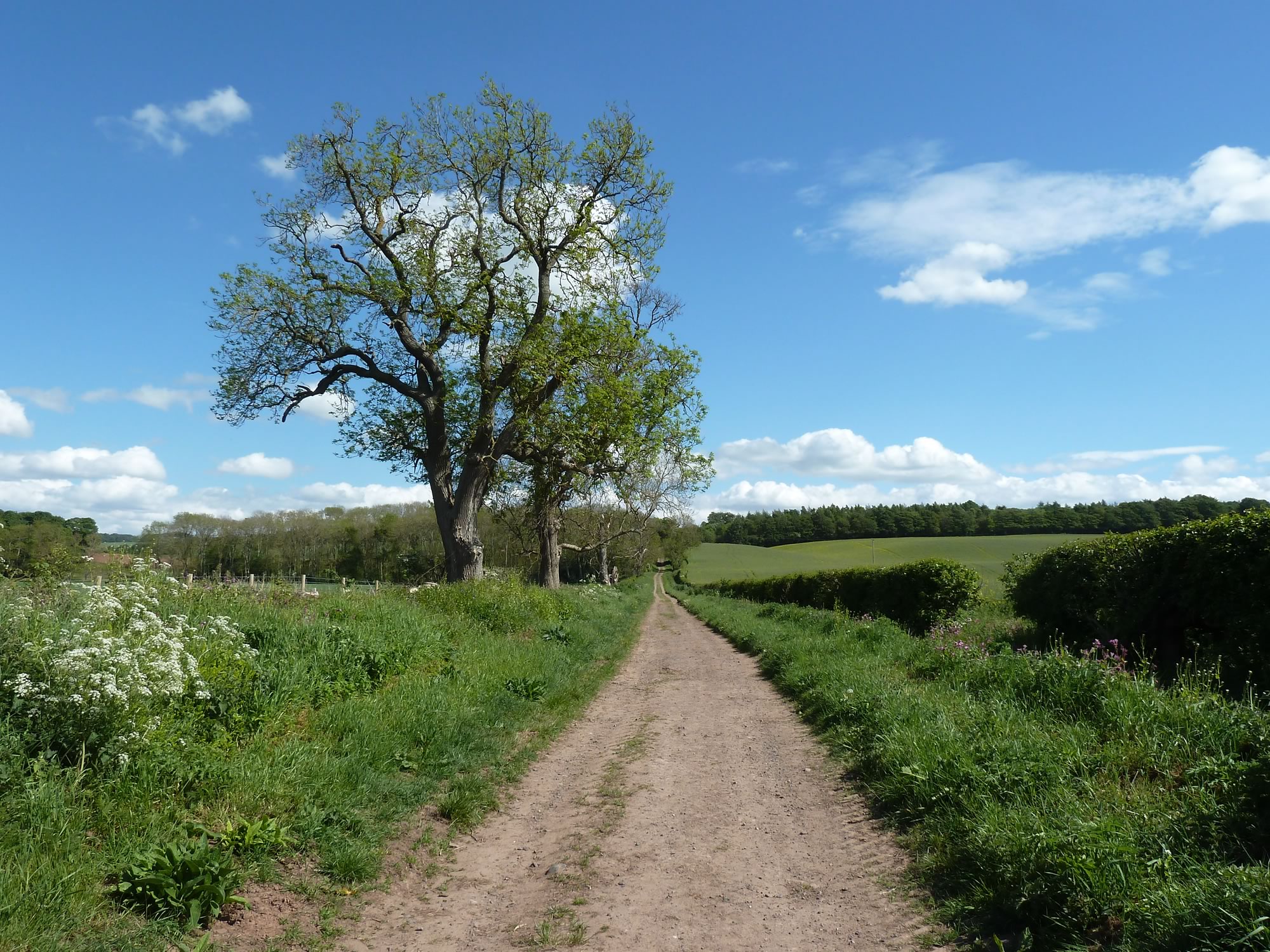
18.58 – On the single-lane road to Chesters
We arrived at the B&B soon after 8pm, and slept like two happy logs.
Saturday, 25 May: map & data
Total climbing: 495 m
Total time: 04:13:07
20 mile cycle in 4h10 from 10.10 to 14.20 – average 4.7 mph
Alas, Saturday wasn’t going to be as sunny.
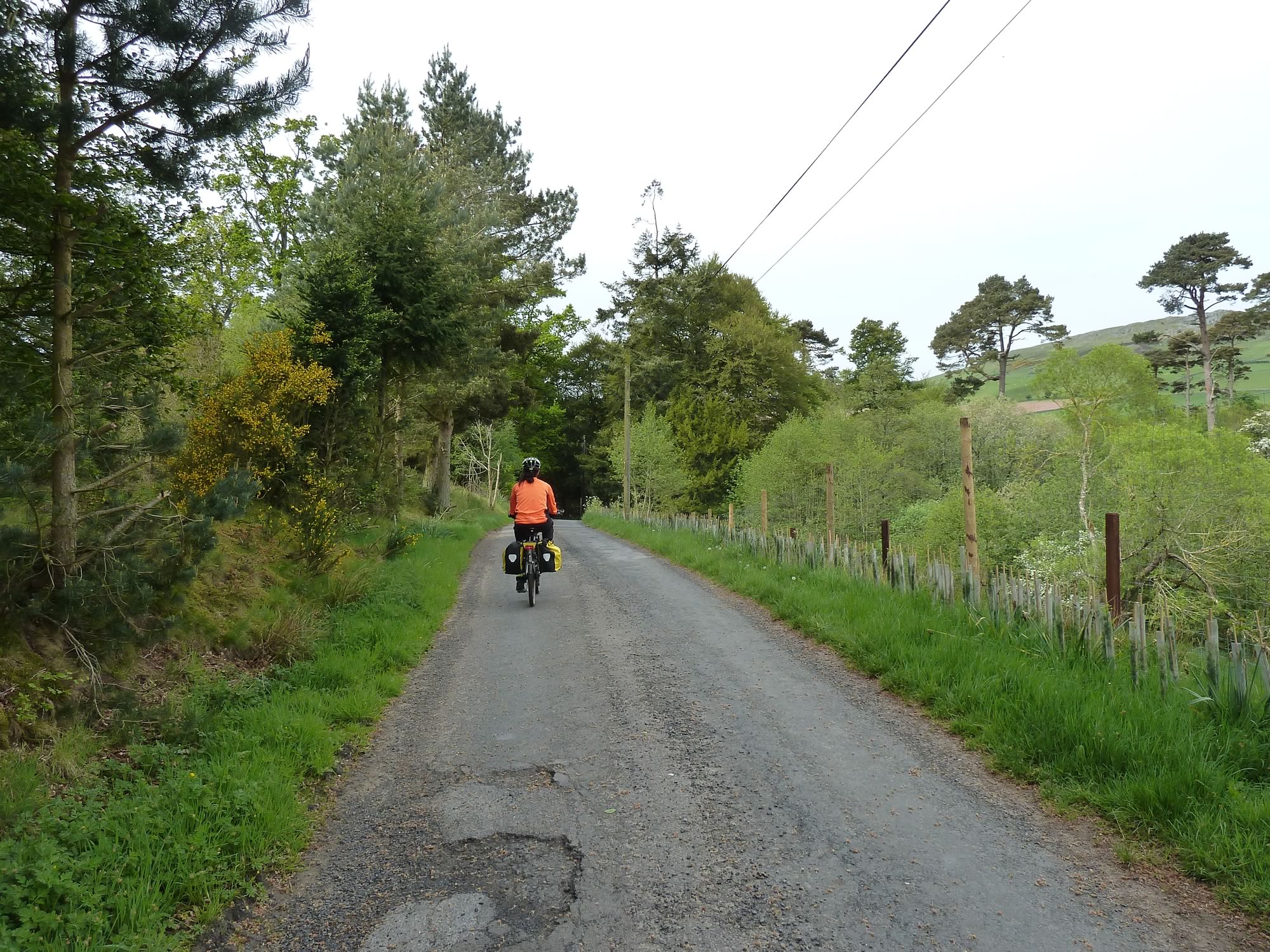
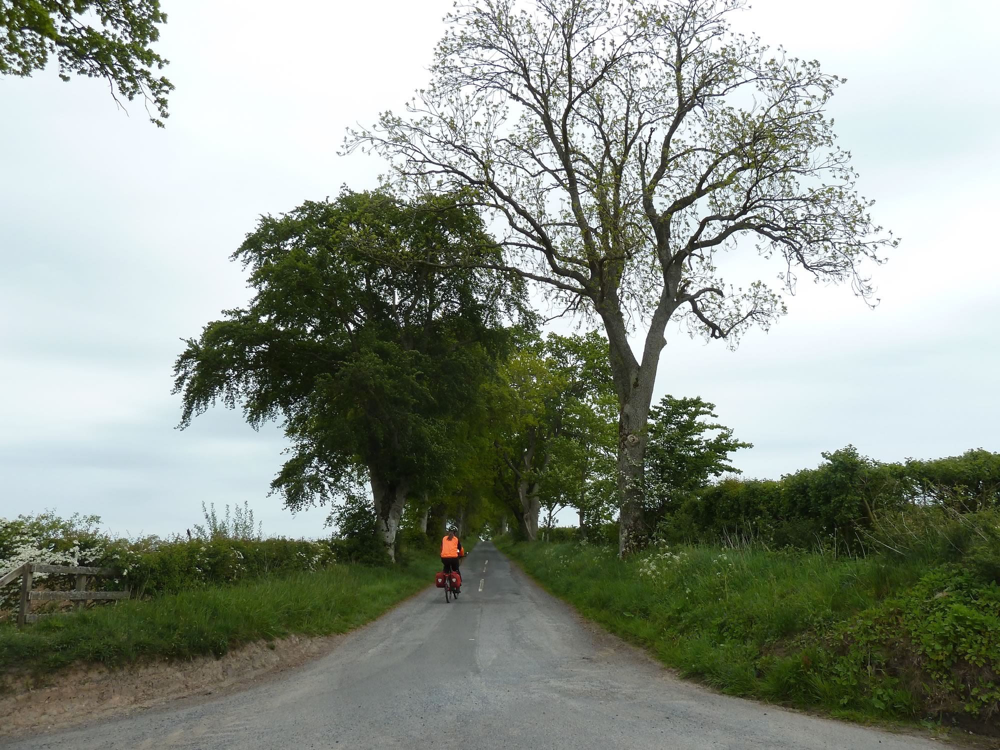
10.13 – Maria leaving the B&B *
A band of rain was forecast for about 3pm, so we decided to head for Tweebank in more or less a straight line.
Our first stop was at Denholm, where we’d briefly been a few times before.
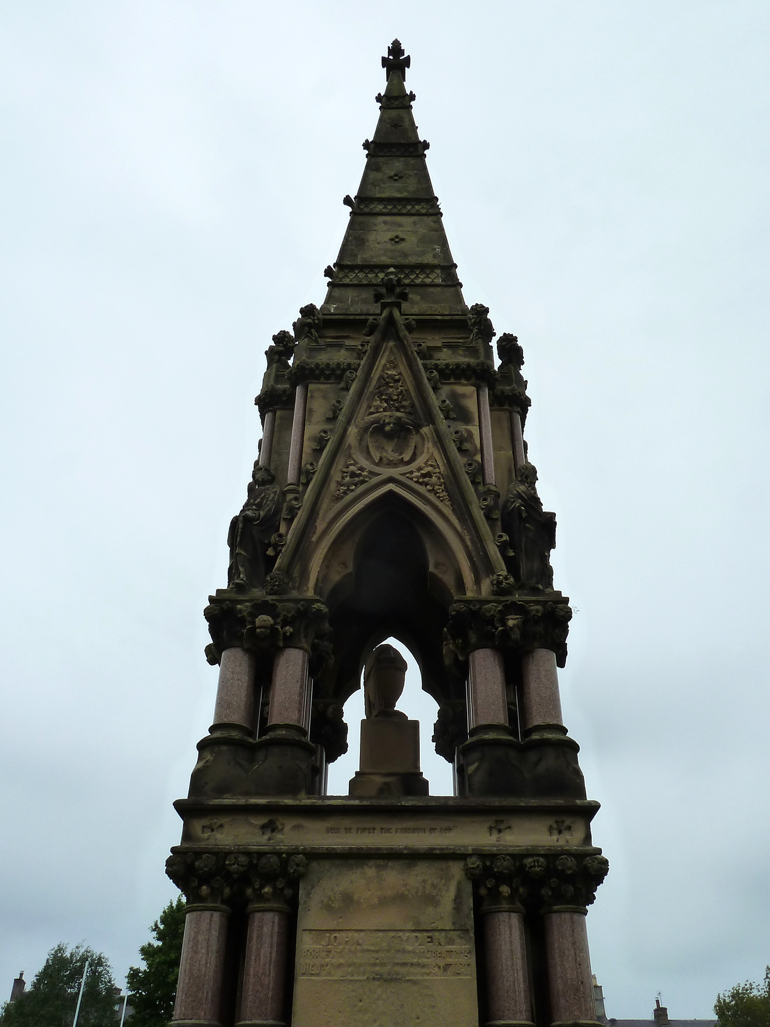
While Simon had his coffee I went to see this monument to John Leyden (1775-1811), a Scottish indologist born in this town. I wonder what he’d think of his extravagant tribute.
11.03 – Monument to John Leyden in Denholm
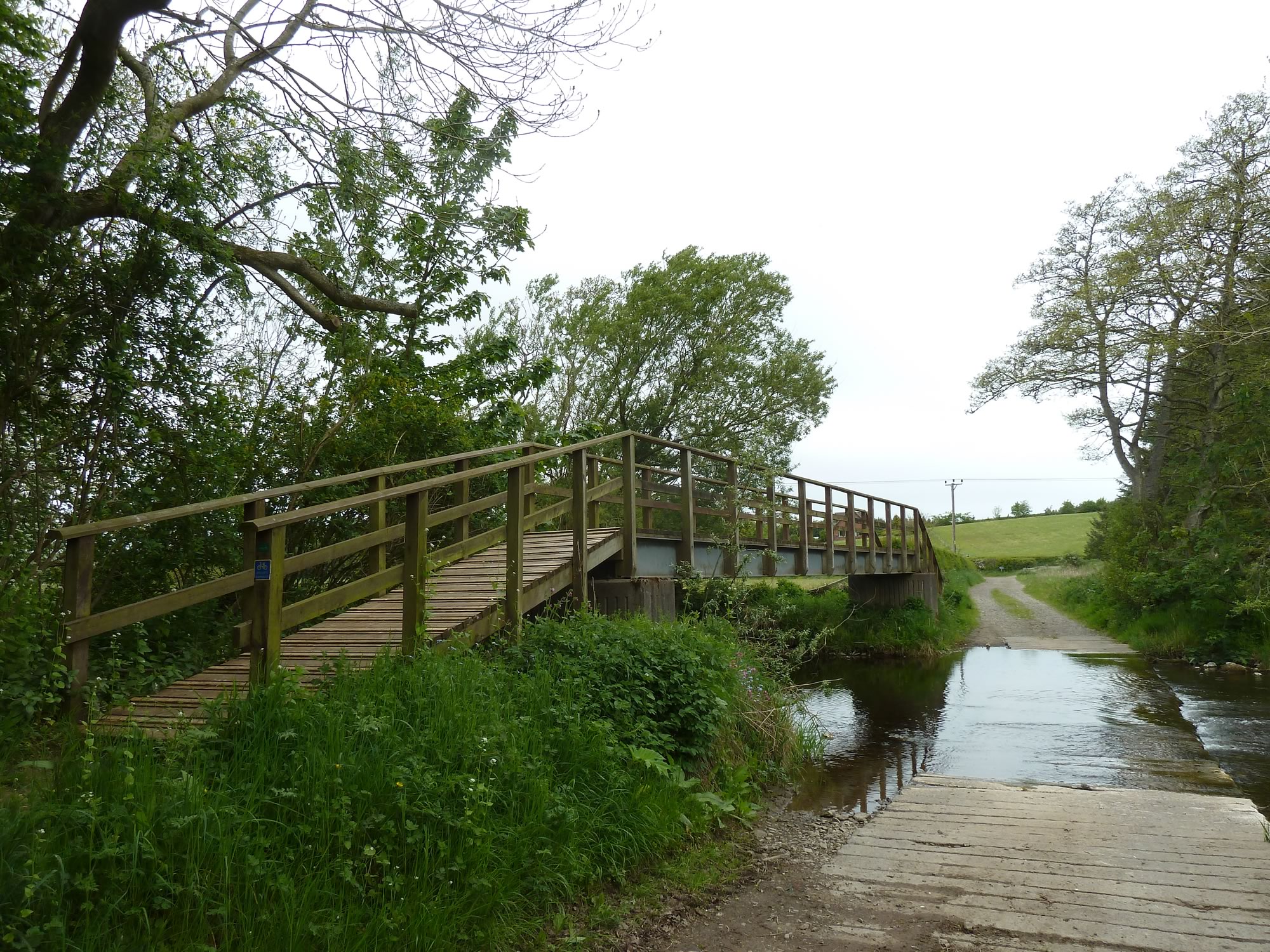
To get from the B6400 to the B6359 we took a quiet path that crosses the Ale Water.
11.56 – On the B6400 near Belses
When he saw this ford, Simon got off his bike, lifted it onto the bridge, and pushed it up and then down. Quite a task, I thought.
So I took the lazy route and pedalled through the ford hoping not to vanish underwater, like that other time.
All was well.
12.16 – Bridge over the Ale Water
A view of Melrose Abbey
We arrived in Melrose ready for a visit to our second ruined abbey of the trip, and a spot of lunch.
Like many other abbeys, Melrose saw its demise after a series of wars and raids, and the Protestant Reformation.
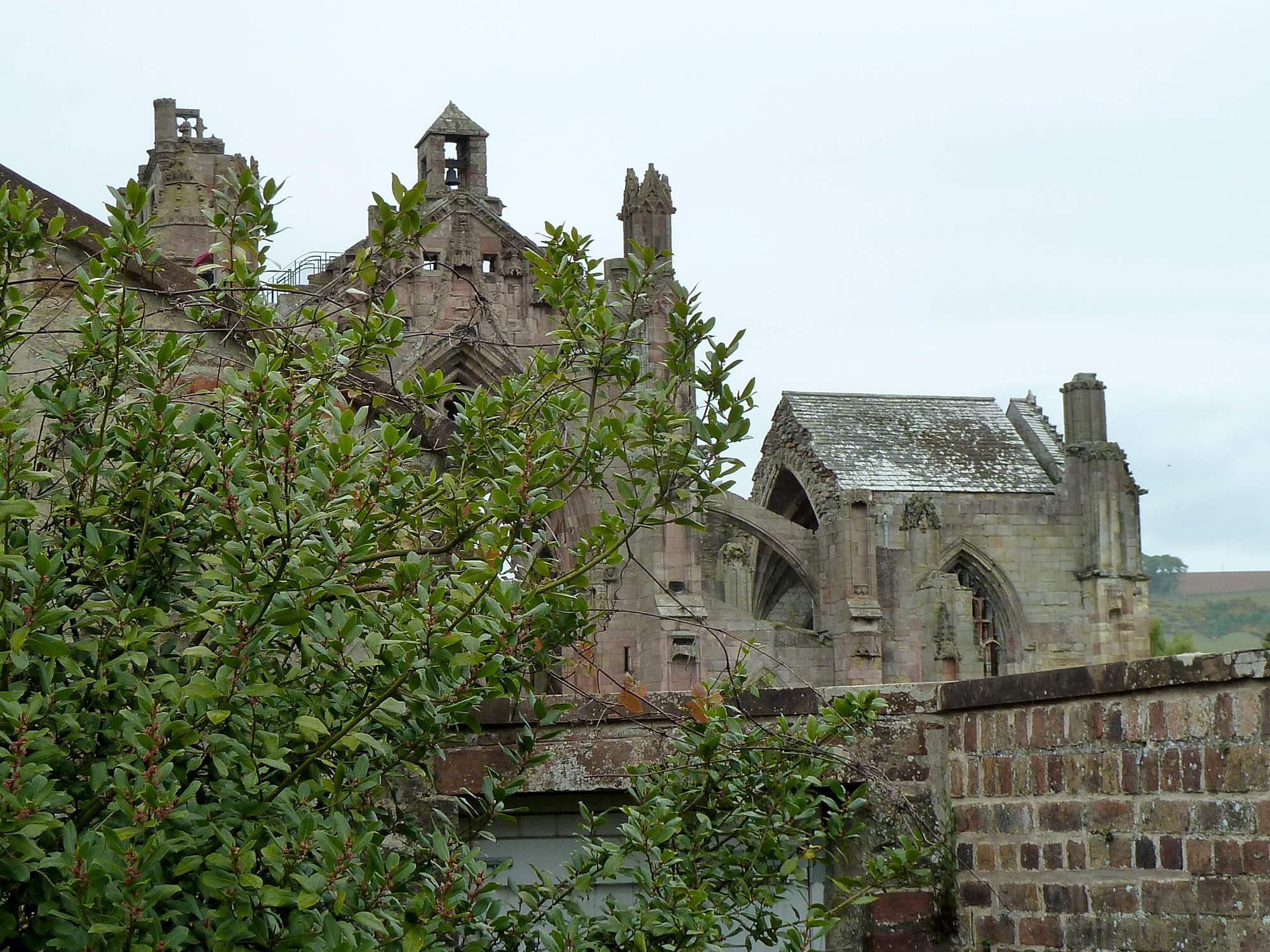
The best view of the abbey is from the Priorwood Garden next to it. If you go there you’ll see that there’s a wall around the garden, and the view of the abbey is only so-so.
14.04 – The ruined Melrose Abbey from a picnic table
But, if you stand on one of the picnic tables, the view improves quite dramatically. I’m not saying you have to be a vandal to get a better glimpse of the abbey, but it helps.
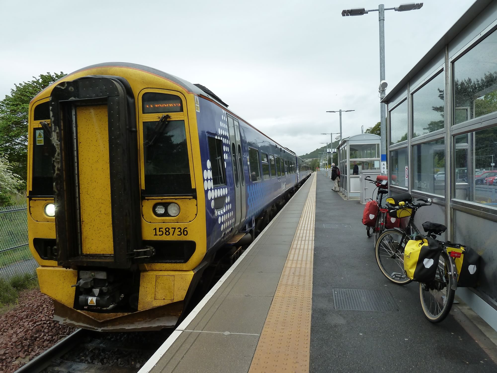
14.24 – At the Tweedbank train station
This was another splendid adventure.
I took all the photos with the Panasonic.
* Simon took this photo.
