Climbing Ben Alder & cycle out: map & data
12 mile walk, 9h – average 1.3 mph (includes some scrambling)
Total climbing: 872 m
Total time: 08:53:59
9 mile cycle out, 2h – average 4.5 mph
Total climbing: 245 m
Total time: 02:02:07
An early rise
We got up at 5am, long after the sun. Not that it was shining on us.
As we came out of the tent, we were welcomed by a herd of deer lingering on the other side of the river.
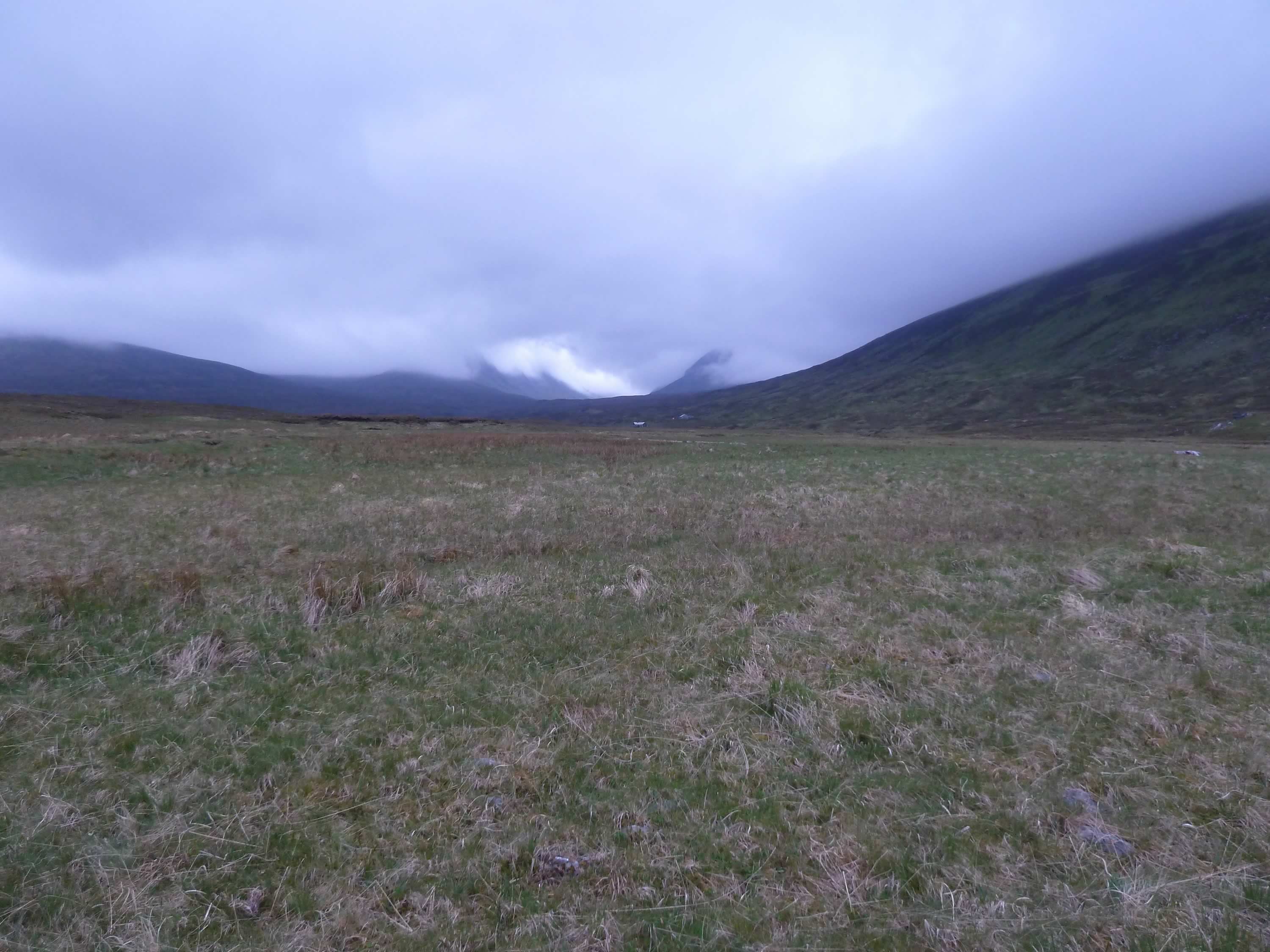
The sky painted a dramatic scene, with Ben Alder and the other peaks hiding behind the cloud. Now and then you could see them, but only just.
For breakfast we had a new invention: Spanish rice pudding. We both thought it was most repeatable.
To reduce the risk of missing the train in the evening, we packed the mattresses and sleeping bags, and got the panniers ready. We debated whether to take down the tent. In the end we decided against it, which proved to be a fabulous idea.
5.43 – Ben Alder hidden by the cloud
Setting off for Ben Alder
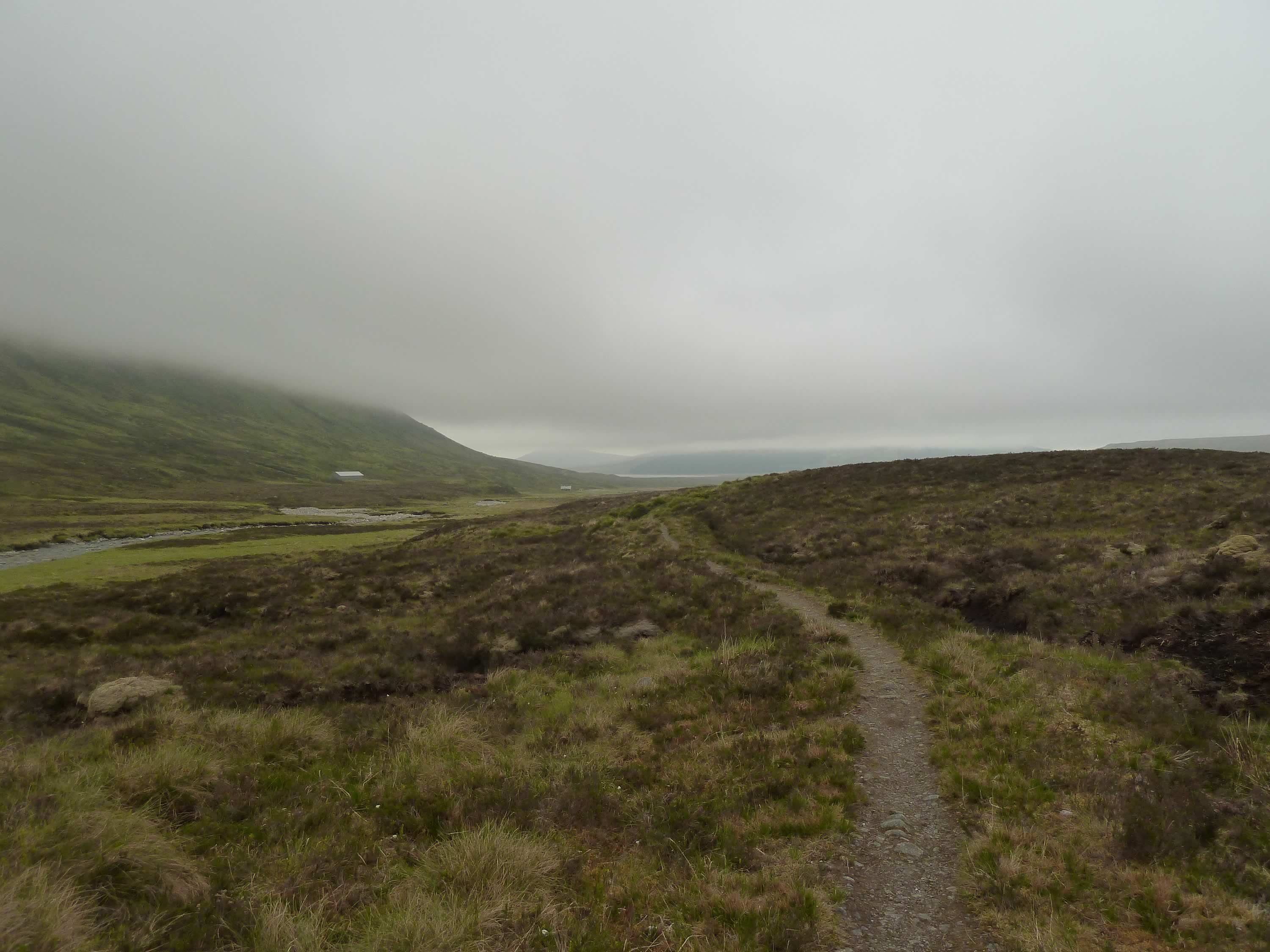
We set off at about 7am and followed the path. Not even I could get lost here without a map.
Near the bothy we saw a few people heading for the hills in different directions, but soon we were on our own.
7.24 – Starting to climb looking back towards the bothy
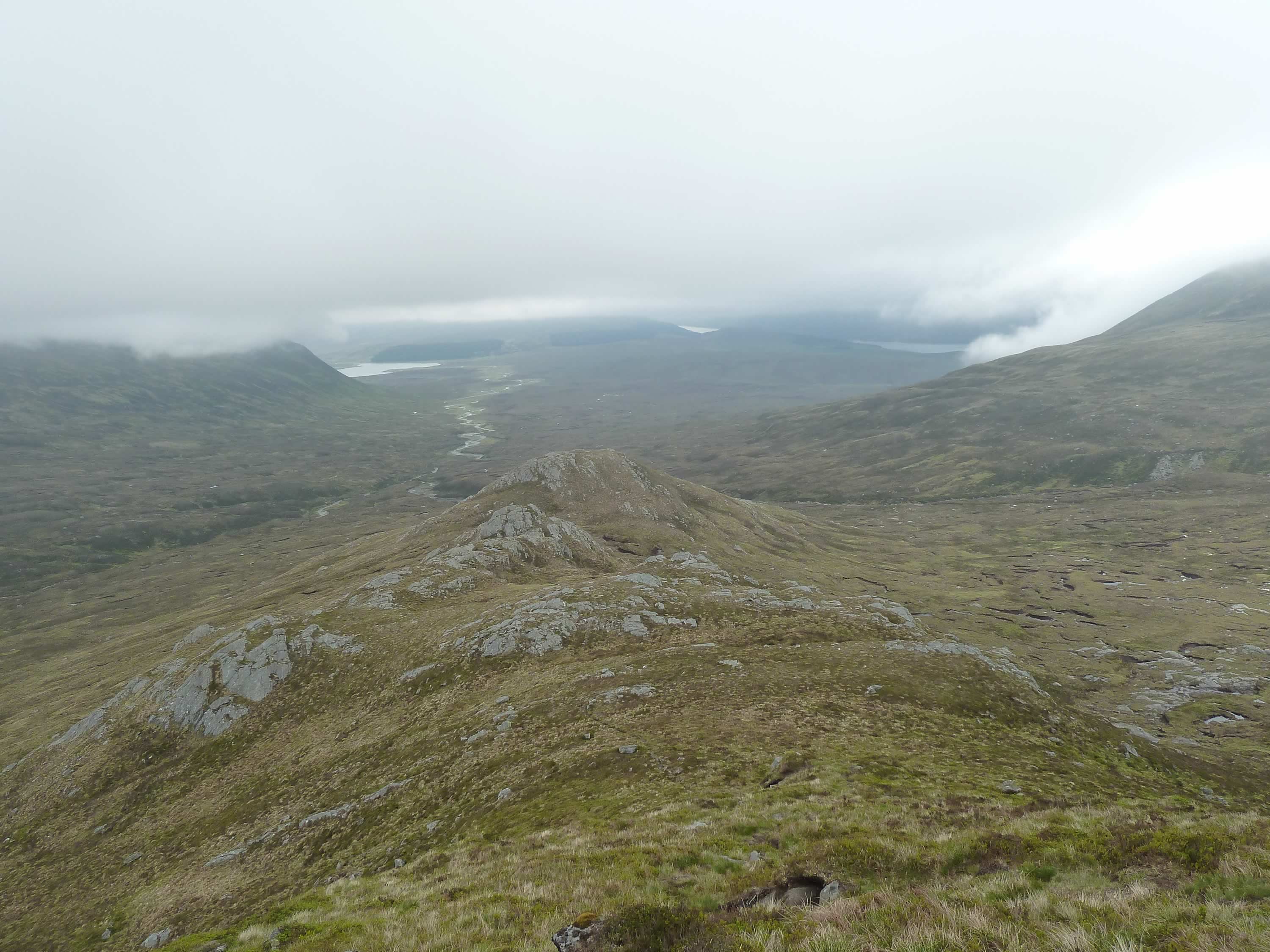
We could see far into the distance, but only below the low cloud.
8.20 – Unnecessary navigation
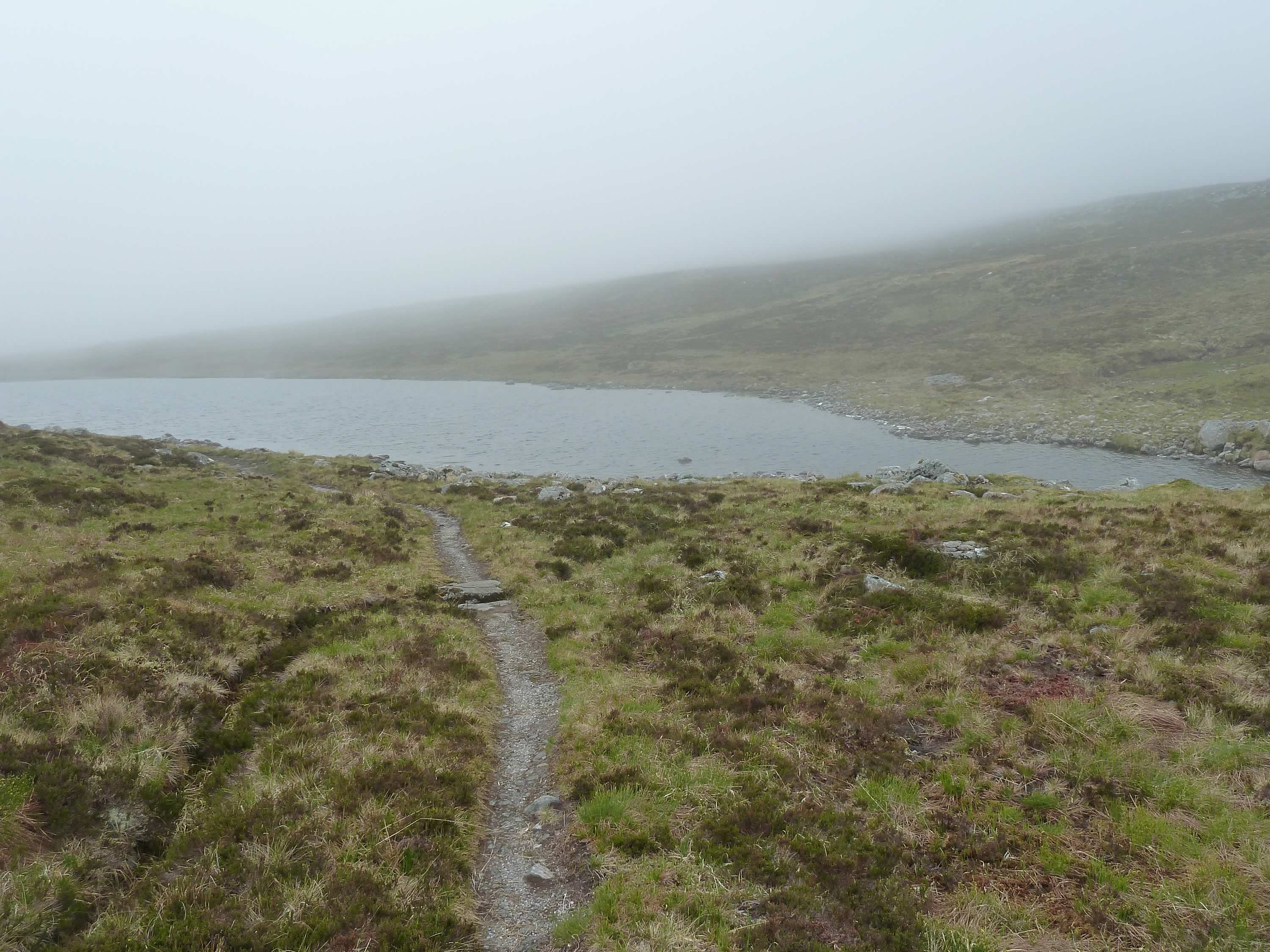
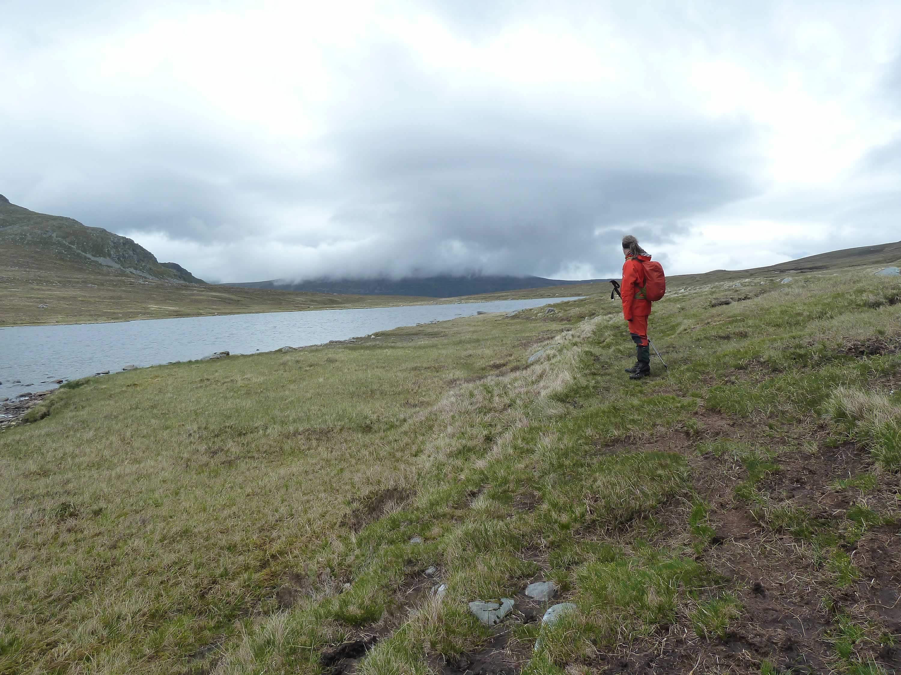
The path took us to this small loch, which we forded easily.
8.33 – Loch a’ Bhealaich Bheithe
Here we started the climb, quite gently at first.
8.44 – Looking south along the loch; on the left, Beinn Bheòil (Munro)
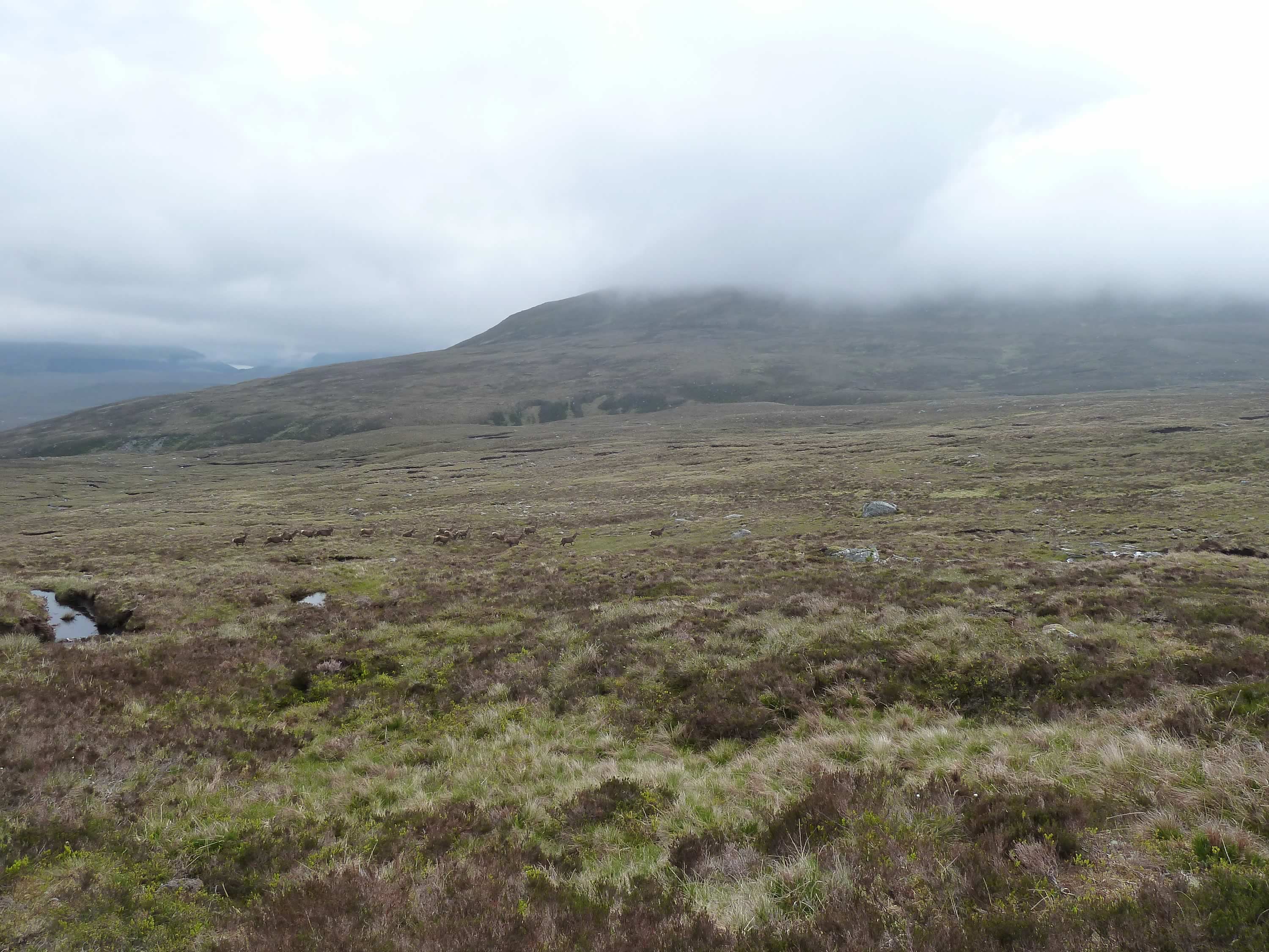
We came across this second herd of deer and we seemed to trap them. For a while they were unsure what to do. Eventually they ran past us.
Soon they stopped to stare at us. I reckon they figured out we weren’t the enemy they’d imagined.
9.07 – Deer running away from us
Ben Alder in full sight
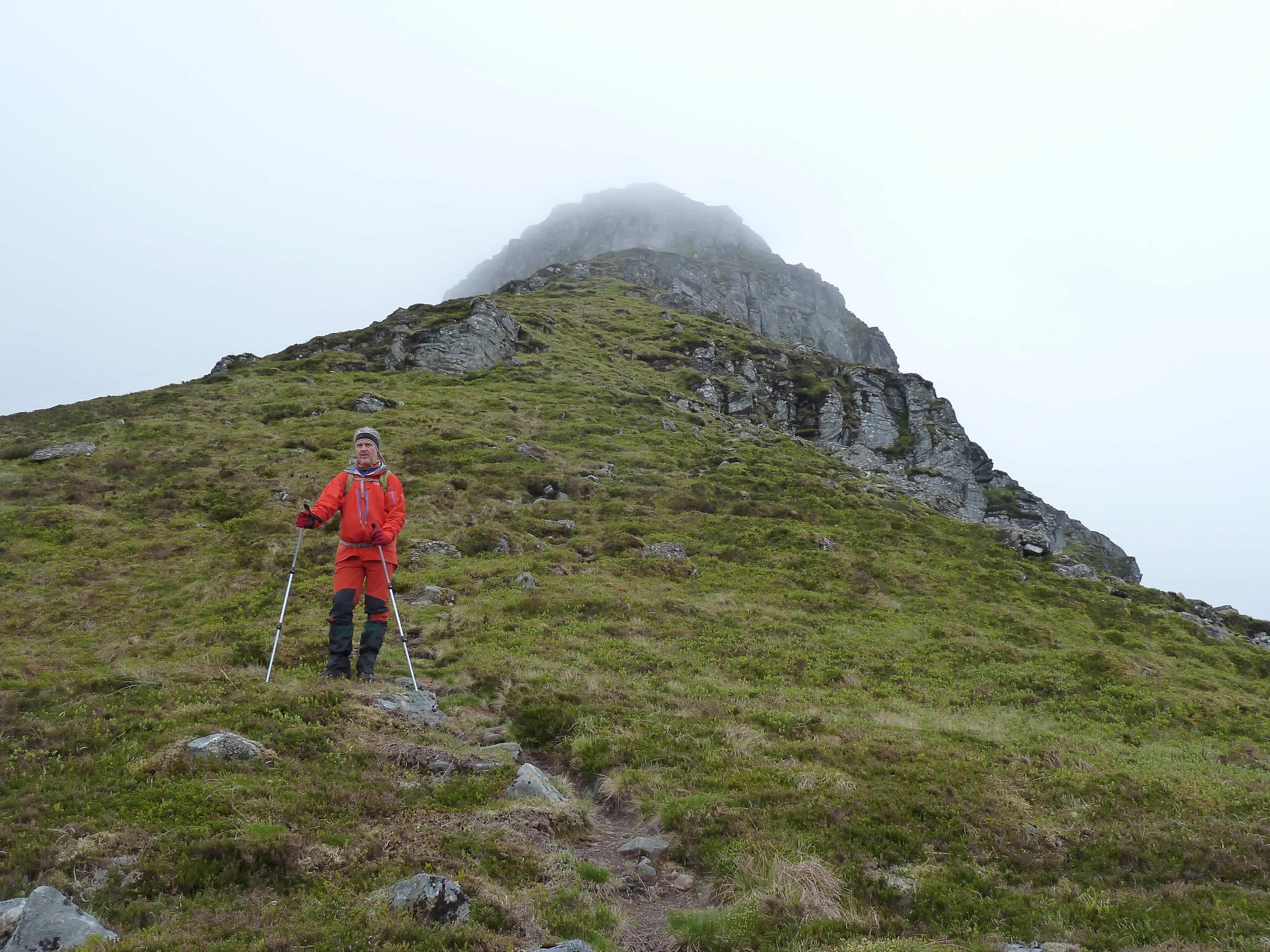
We continued climbing and soon we saw what was to come.
9.26 – Simon with our future behind
We started to climb the long Leachas.
9.32 – Looking back down the long Leachas & the bothy down below
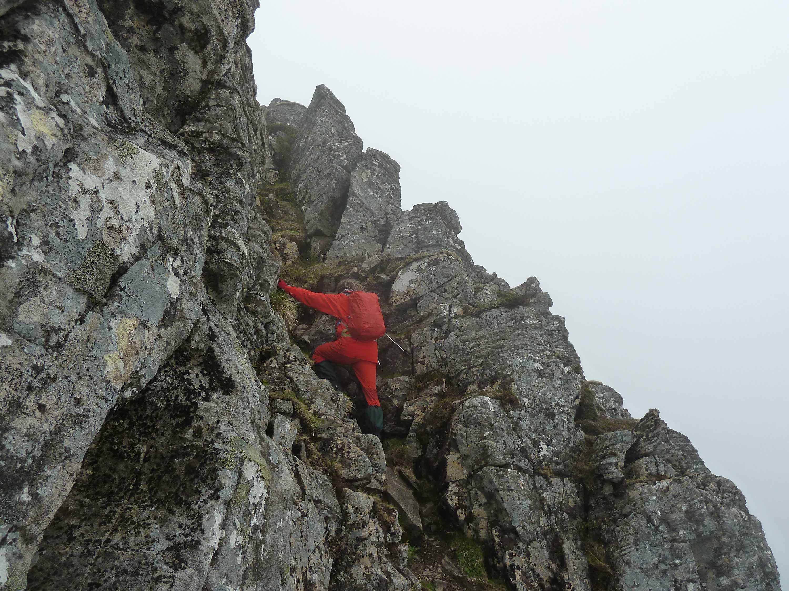
And then there was the scrambling.
At first I wondered how I was going to climb the huge rocks. Then I stopped thinking and went for it. It’s usually the best way.
Climbing a near-vertical wall with a heavy rucksack on your back is quite a job, but we did ascend pretty quickly.
9.57 – Scrambling
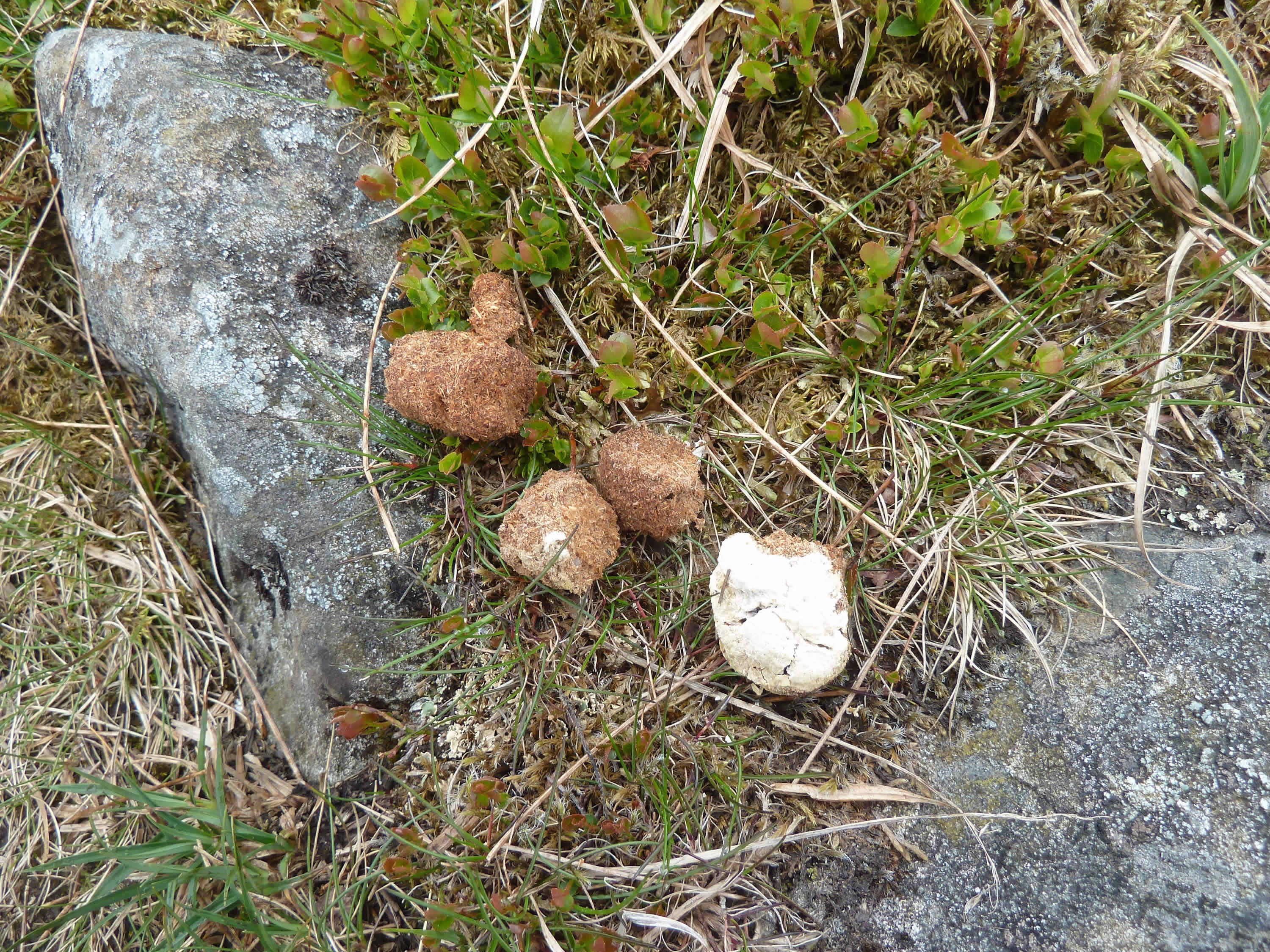
10.03 – Bird of prey scat
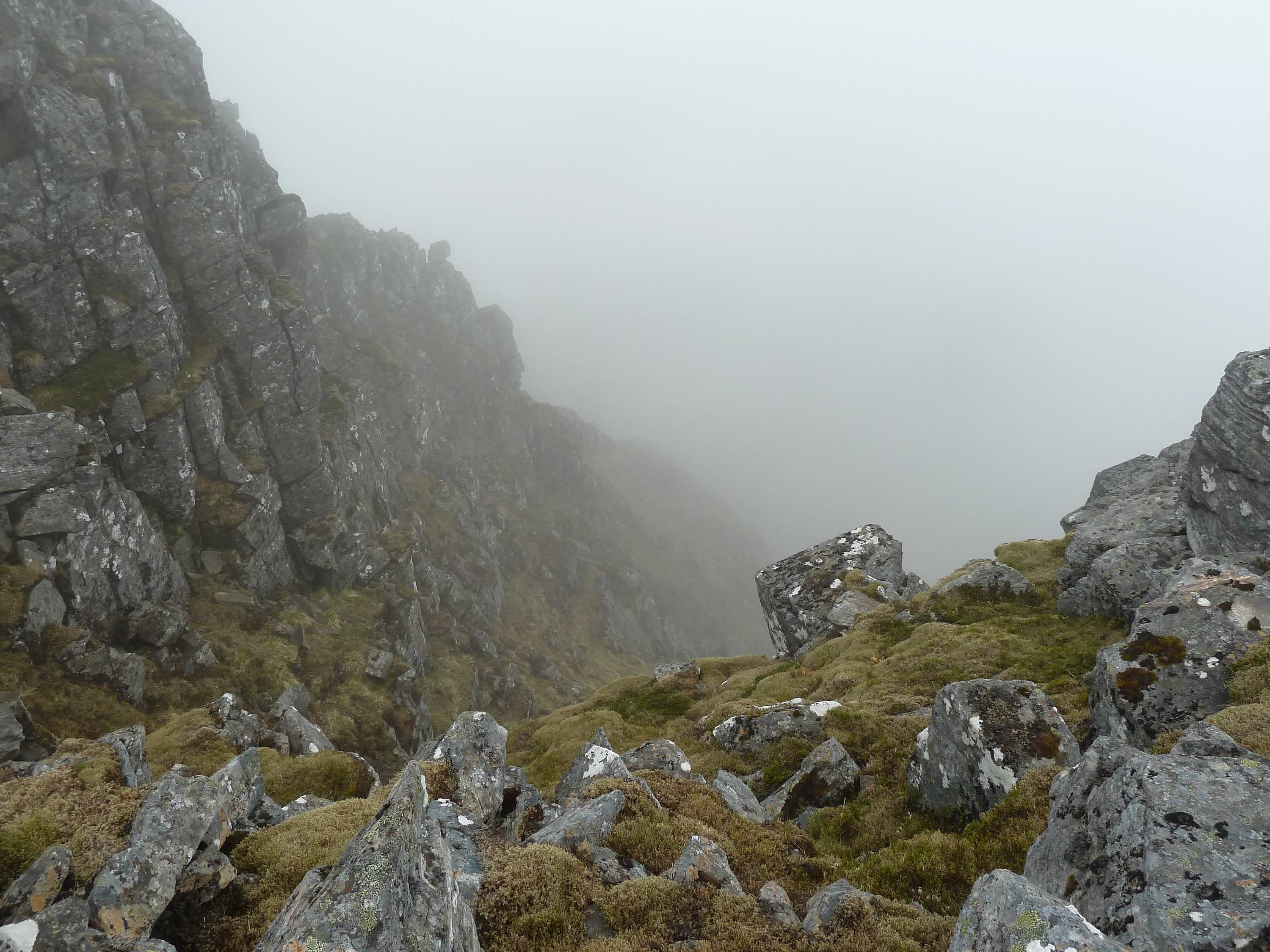
The views down were spectacular, not least because you could only see part of it and had to imagine the rest.
10.20 – Almost at the top, looking down
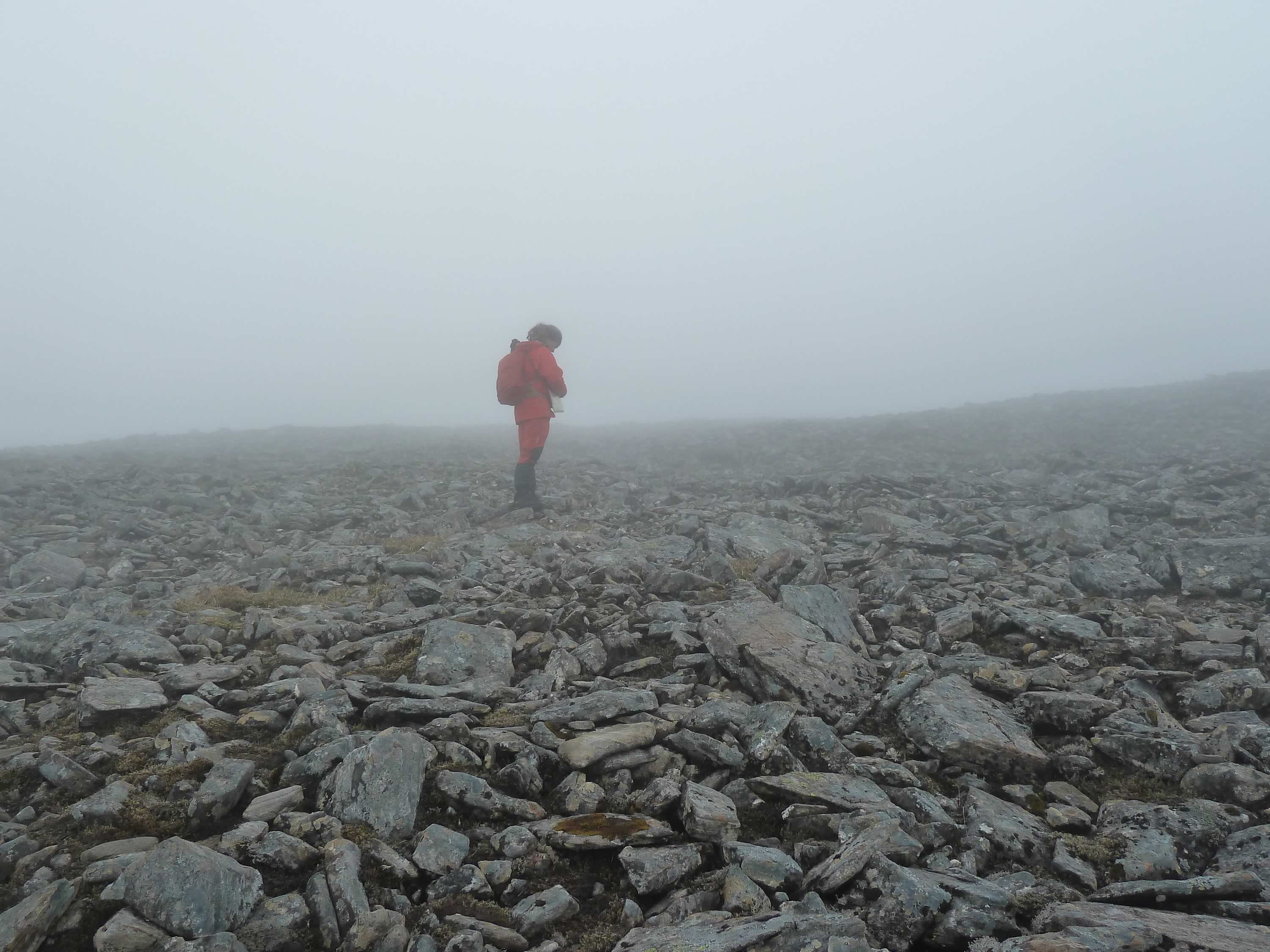
Close to the top we crossed this field with boulders of all sizes.
10.48 – Boulder field
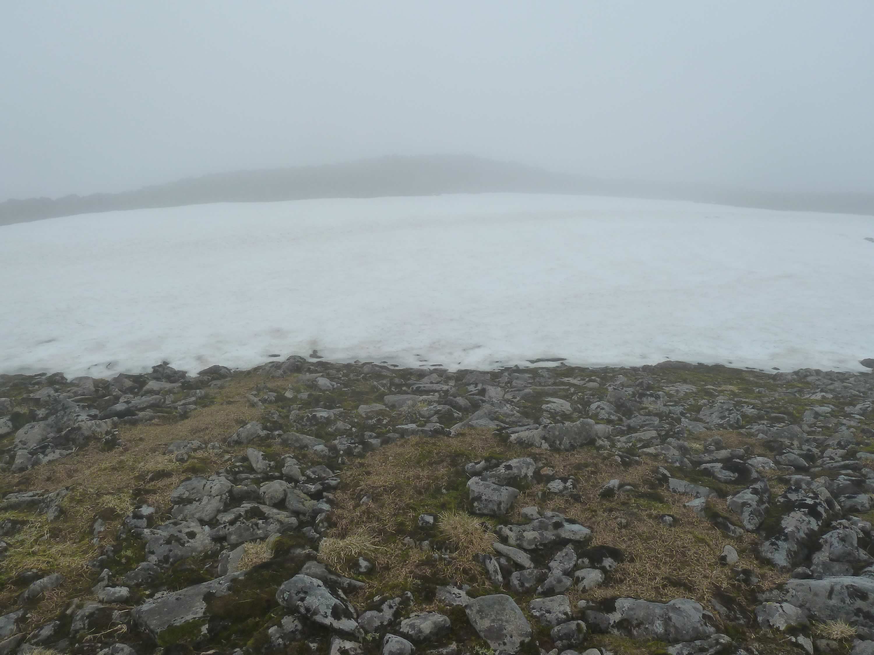
The little snow we had had in winter was still sitting in crevices and north facing spots.
11.41 – A last remaining patch of snow
Reaching the top of Ben Alder
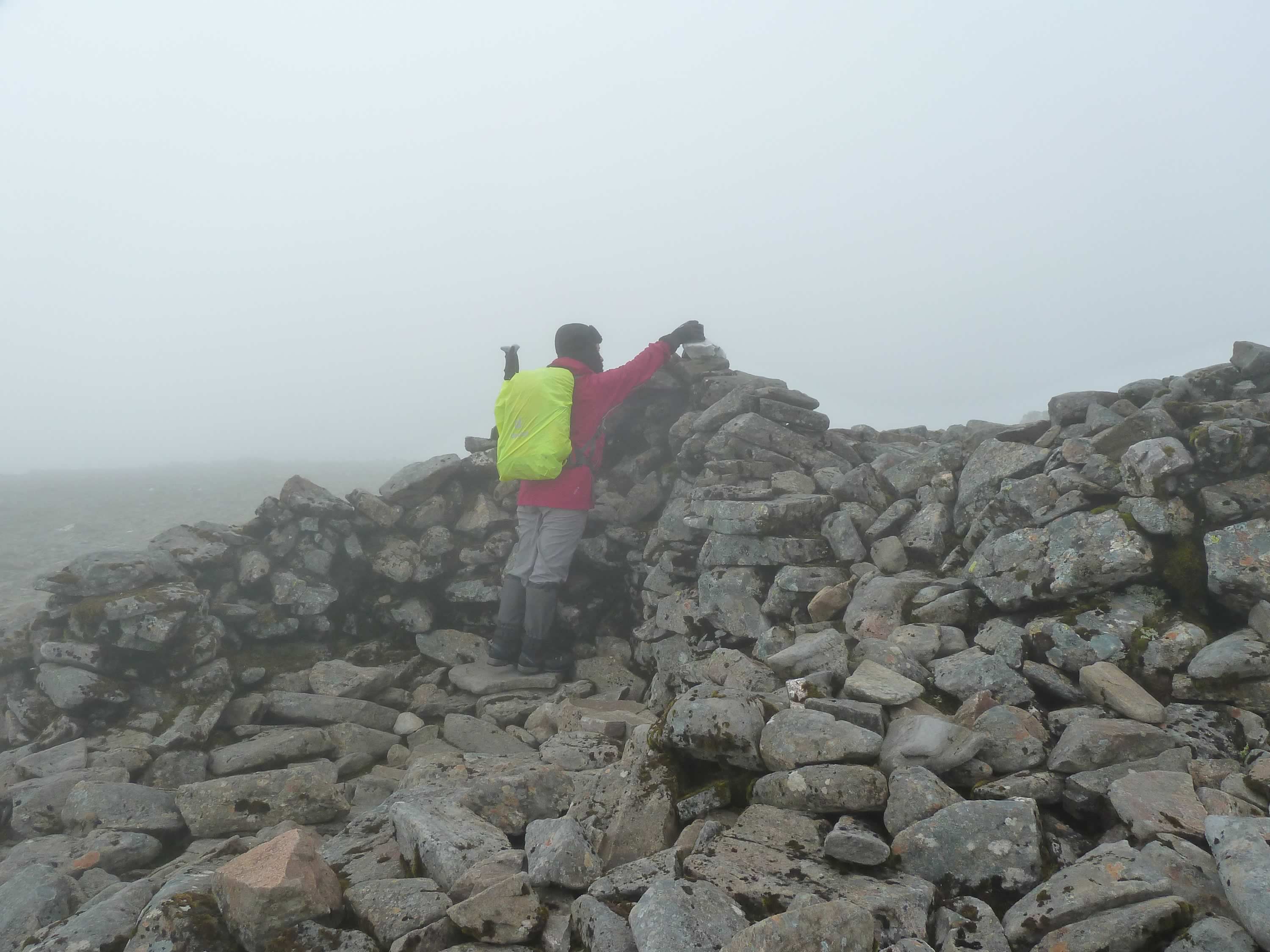
Thanks to Simon’s navigation, we reached the real top.
We hadn’t seen anyone since the early morning. Here we saw two pairs of guys. They seemed very familiar with Ben Alder.
11.50 – Maria at the top of Ben Alder *
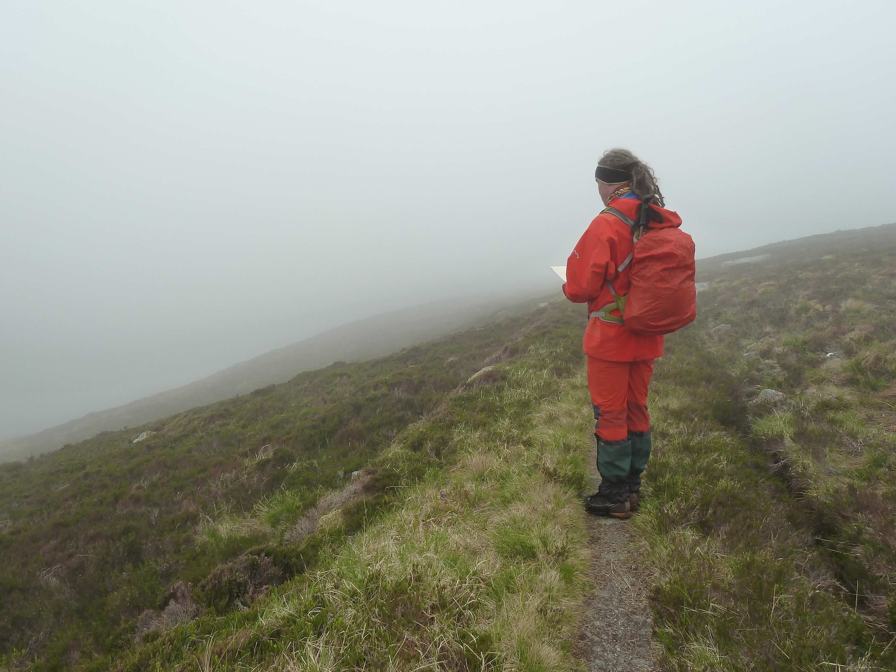
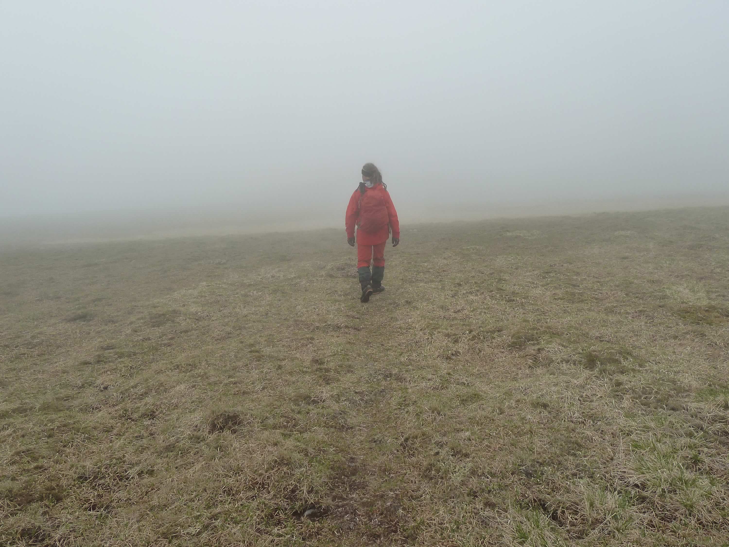
With poor visibility and great skill, Simon navigated along the ridge.
The way down was a lot less steep than the climb up.
12.00 – Heading southwards along the ridge
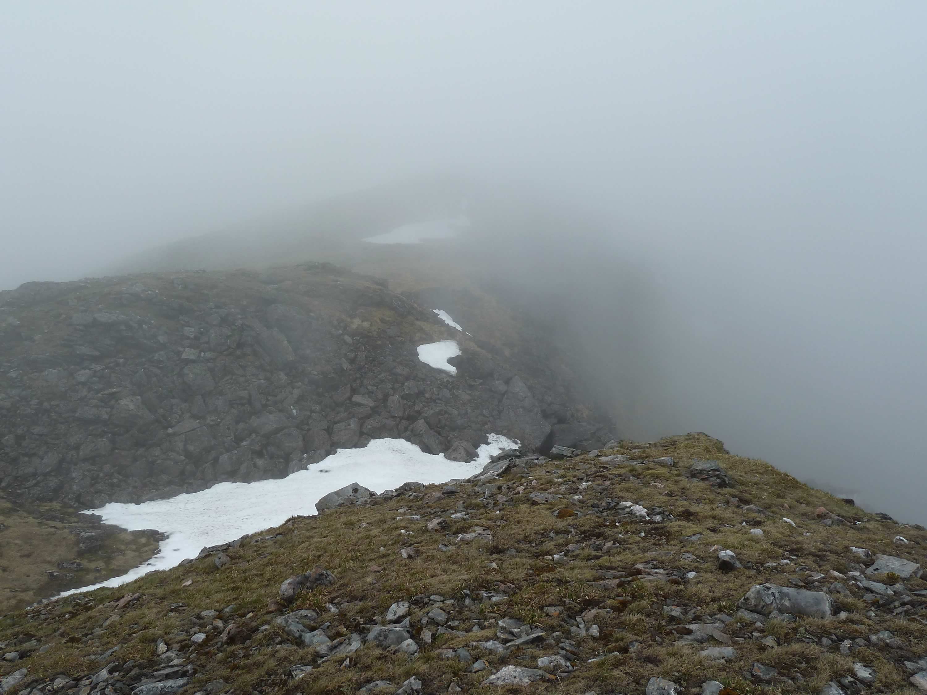
At times it felt like the cloud was going to lift, but it clung on to Ben Alder stubbornly.
12.22 – Just before starting to descend
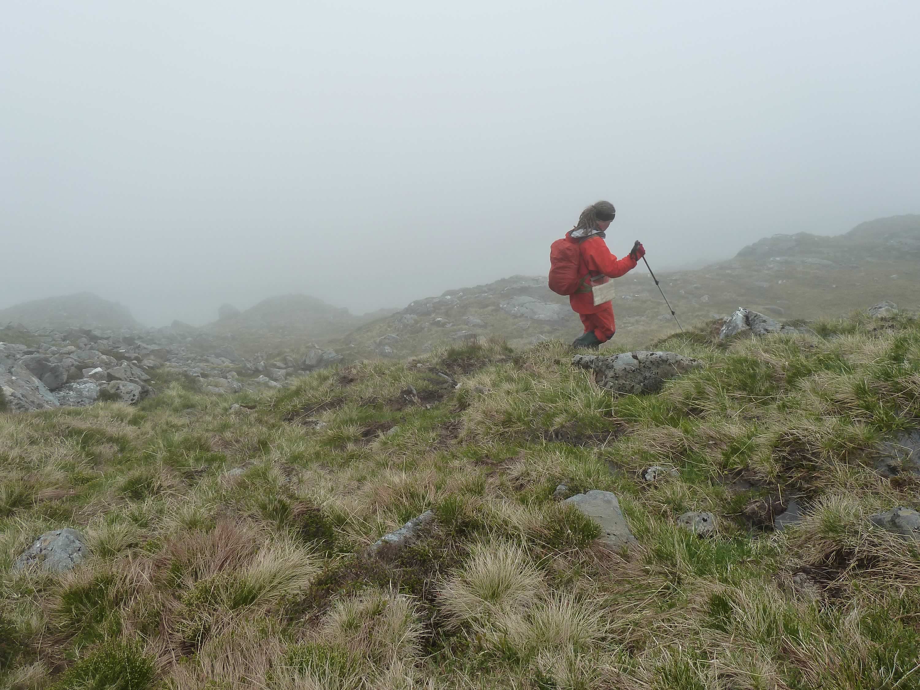
The descent was fast, even though there was no clear path.
13.00 – Descending southeasterly
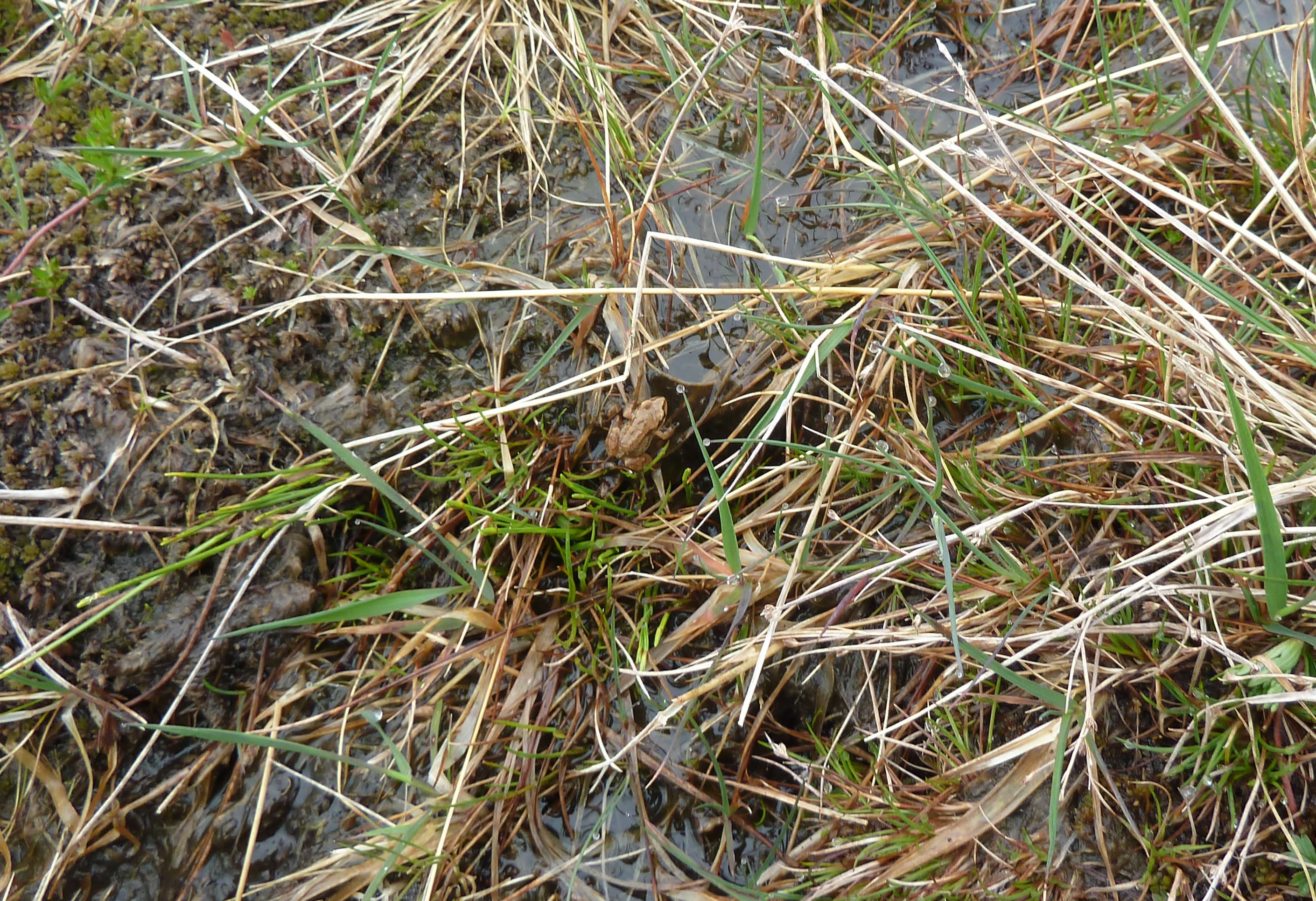
Like in the previous trip, we saw some large frogs. We also saw this tiny one. I love frogs. They always seem happy to see you.
13.01 – A tiny frog saying hello
Returning to Loch a’ Bhealaich Bheithe
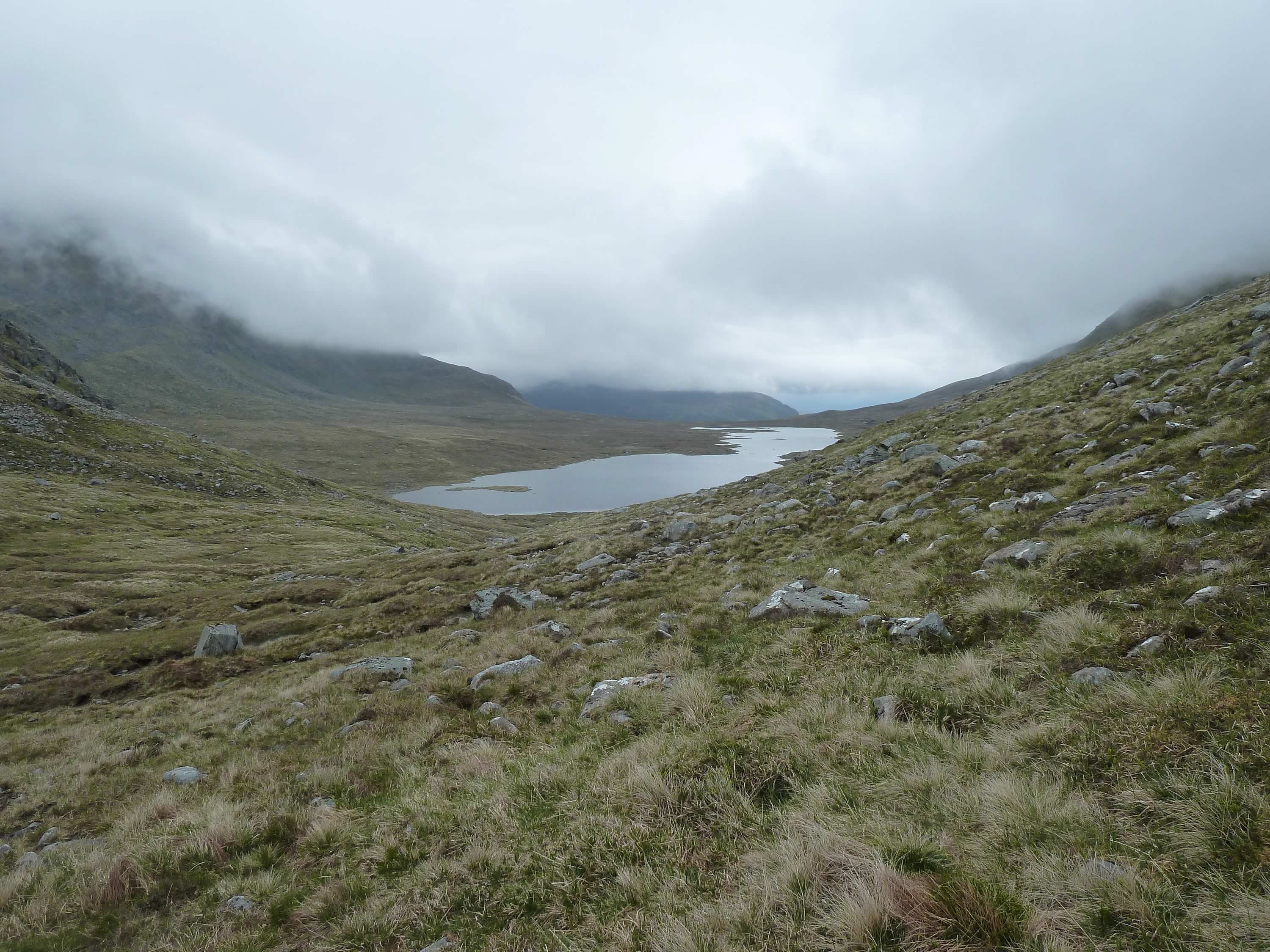
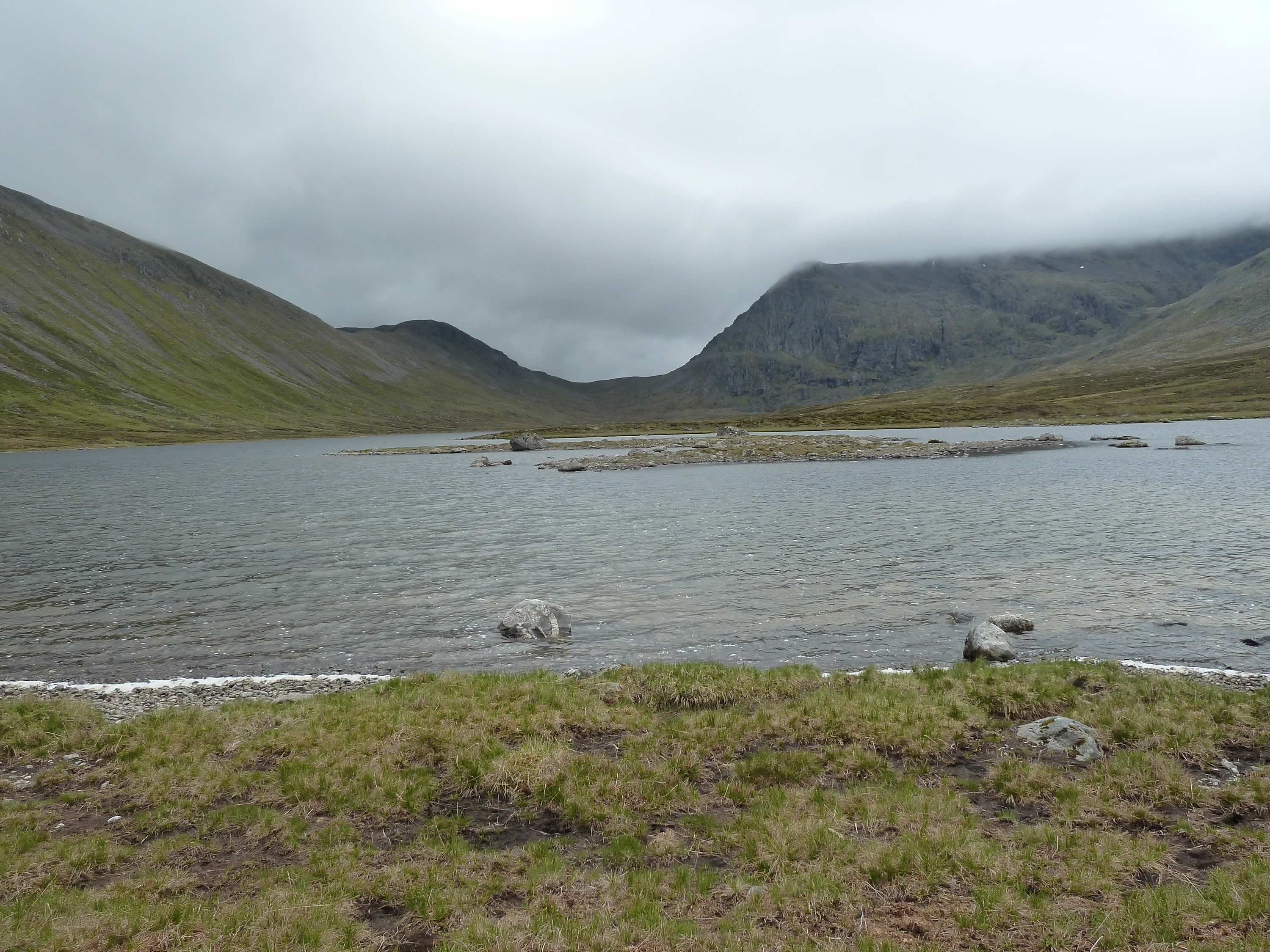
Soon we were back at the loch.
13.37 – Loch a’ Bhealaich Bheithe
There was a path most of the way and we walked along it.
14.09 – Walking back along Loch a’Bhealaich Bheithe
We stopped to eat some sandwiches, and admire the view and what we had achieved.
14.22 – Back at the north end of the loch
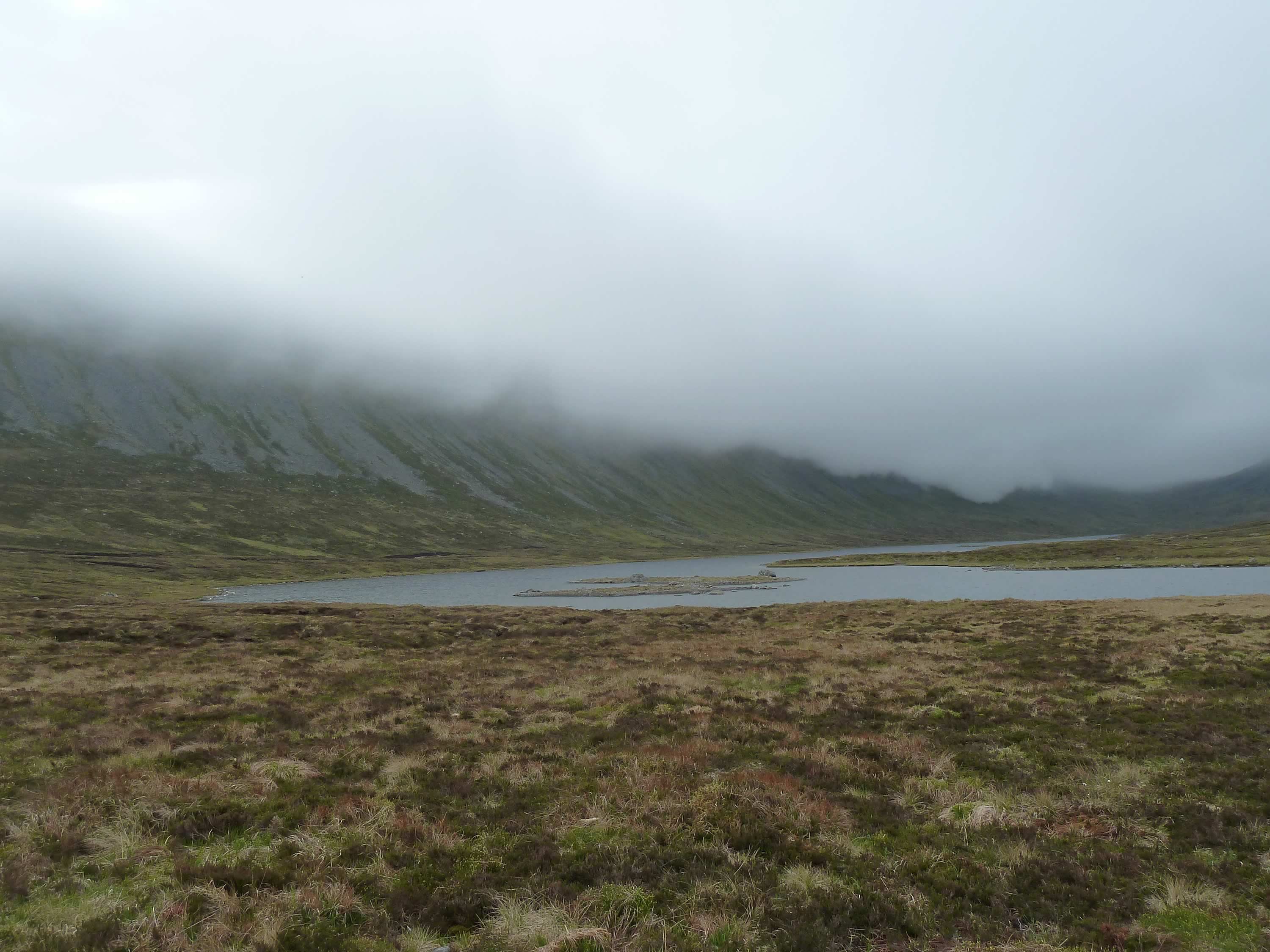
My iPhone had misbehaved in previous trips, so this time I decided to take a “panoramic” with the Panasonic.
It’s nothing to write home about, but you get an idea of the landscape.
14.52 – Looking at Sròn Drèineach (the northern spur of Beinn Bheòil)
From here, we retraced our steps and got back to the tent at about 4pm.
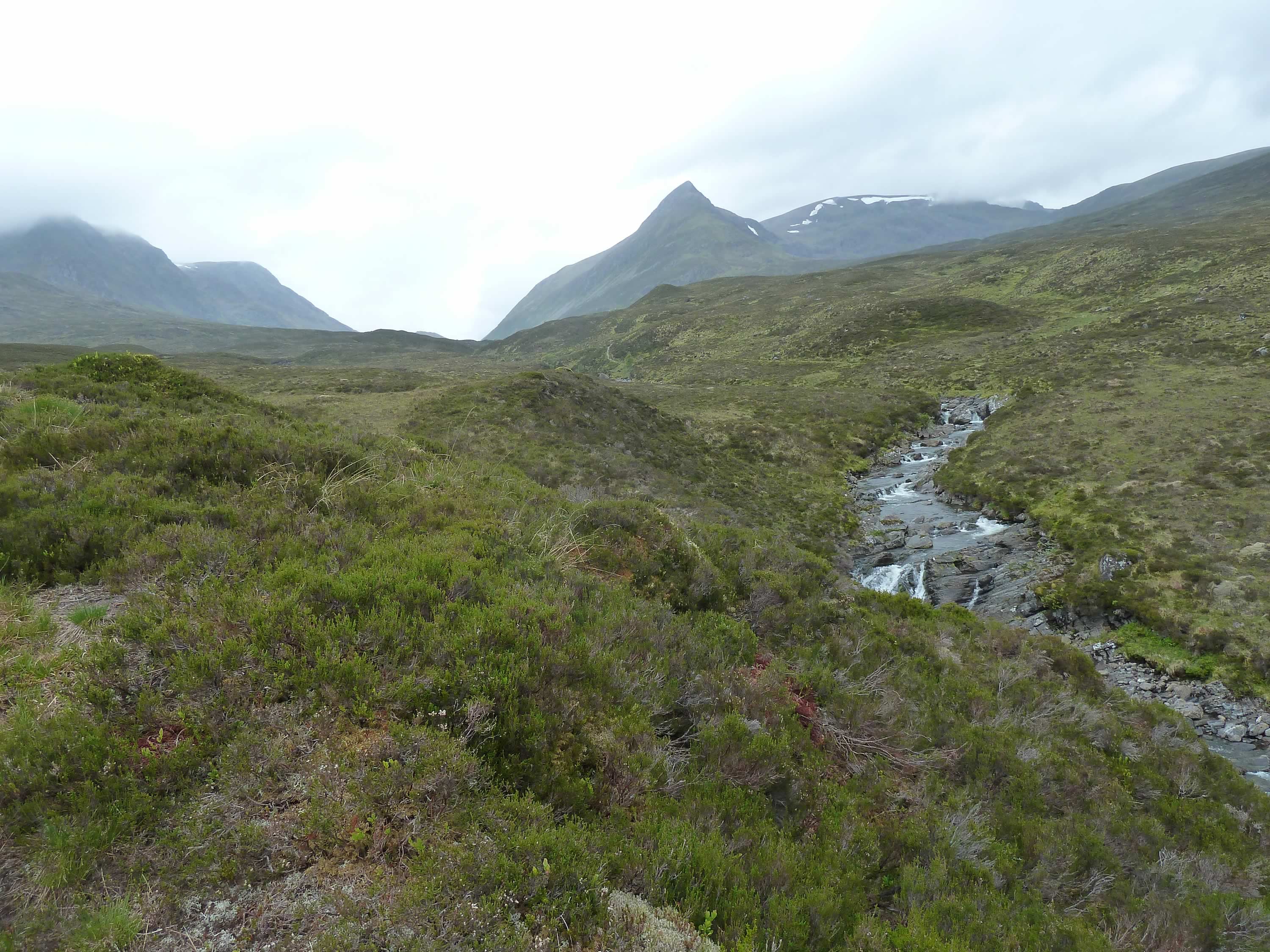
15.27 – In the centre, Sgòr Iutharn #
Thank goodness we had left the tent up. It had started raining and otherwise we’d got seriously wet changing into our cycling clothes.
We cycled back to Dalwhinnie following a different route. I thought it was going to be easier, but it proved just as rocky.
I really have to learn to ride on stones. It’d reduce the amount of sighing, groaning and lamenting.
Dalwhinnie & General Montgomery
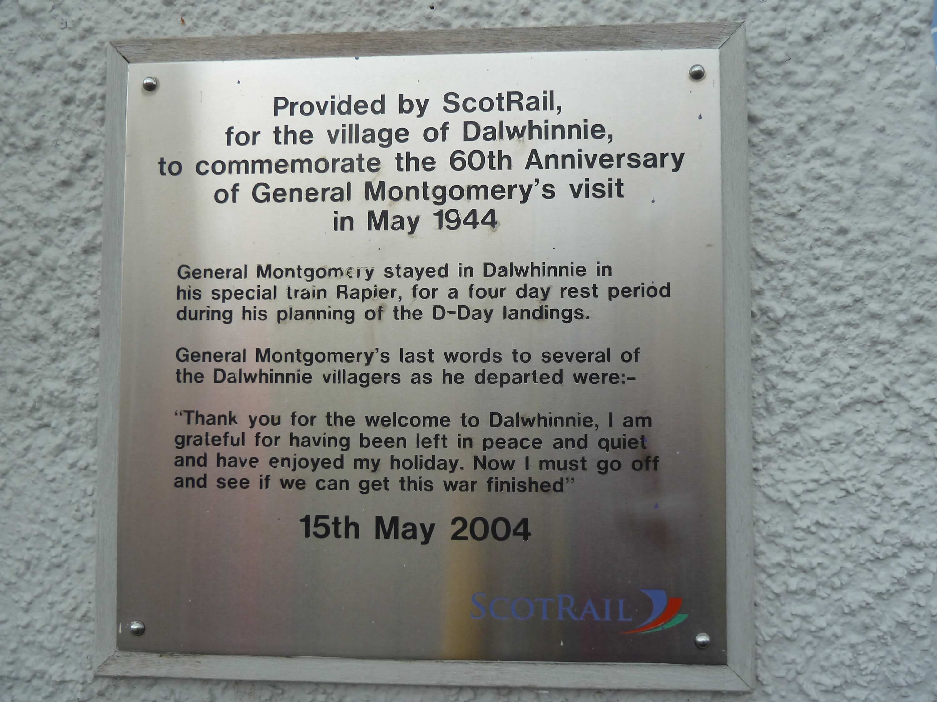
Places like Dalwhinnie are a great reminder of how lucky we are. This tiny village helped bring about one of the most heroic actions in human history:
19.09 – Plaque at Dalwhinnie train station
I want to dedicate this post to all those who gave their lives to preserve our freedom.
I took all the photos with the Panasonic, except for the panoramic.
* Simon took this photo.
