Hillwalking in Perthshire: map & data
Total climbing: 1151 m
Total time: 09:07:40
14.5 miles, 9h from 10.30 to 19.30 – average 1.6 mph
When we left Edinburgh in the van, just after 7.30am, I was secretly yearning for a landscape that would be different enough from last week’s.
You see, we’d had two epic walks in glorious weather, one in Perthshire and the other one in the Scottish Borders. Two fabulous days. The only problem was, the landscapes had been so similar that I could hardly tell them apart in my head.
Loch Turret in its glacial trench
As we parked the van near the dam, and headed for the path along Loch Turret, my worries vanished.
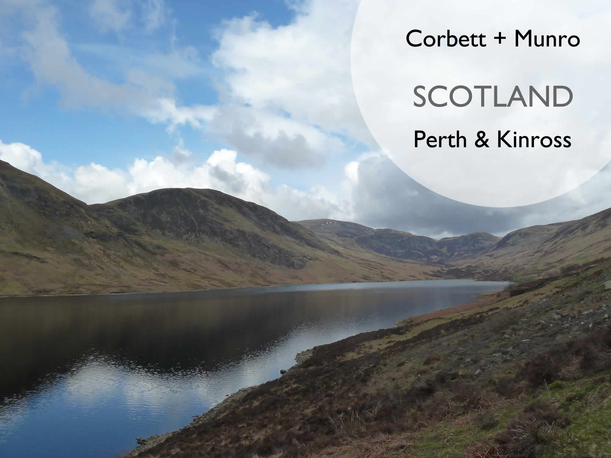
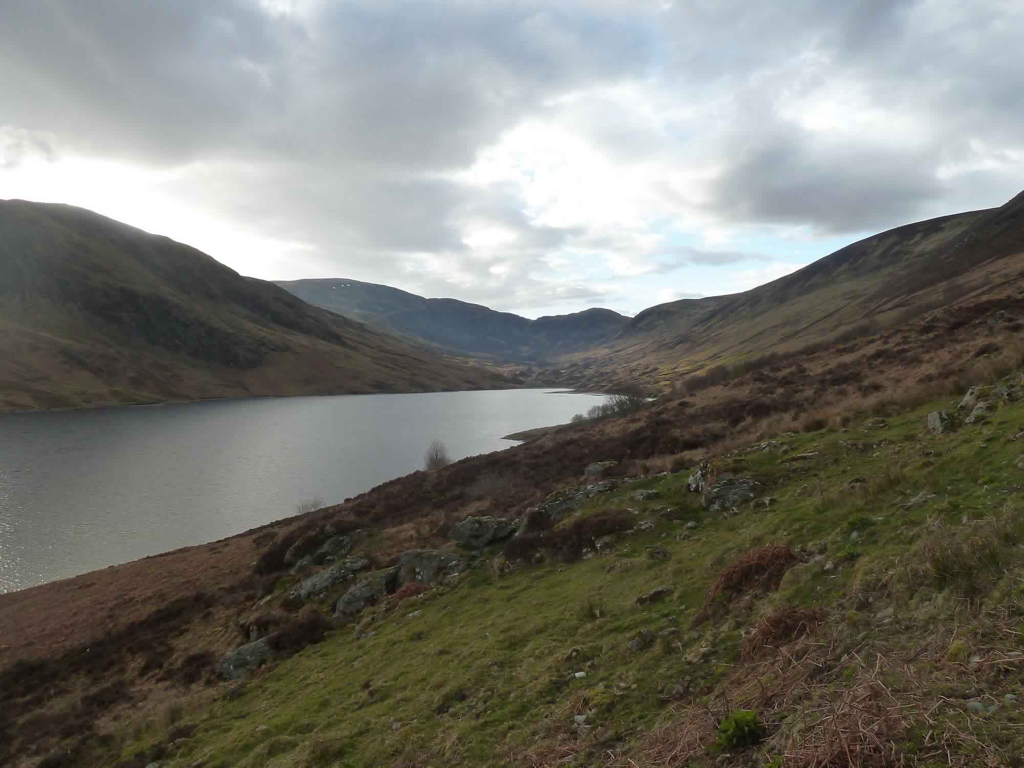
We were greeted by a peaceful loch bathed in a magic light.
10.28 – Loch Turret from the dam
The plan for the day was to climb two hills: Auchnafree Hill, a Corbett to the right of the loch; and Ben Chonzie, a Munro to the left.
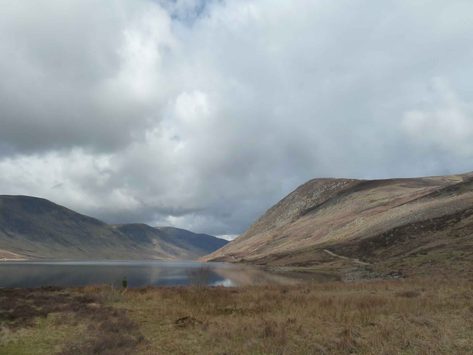
The gentle walk from the dam to the end of the loch is about 3 miles, with a few shallow fords.
11.30 – Looking back at Loch Turret & the moraines
You then reach the moraines at the head of Loch Turret, and there’s a path to the right. That’s the track that takes you to Auchnafree Hill (789m), our first hill of the day.
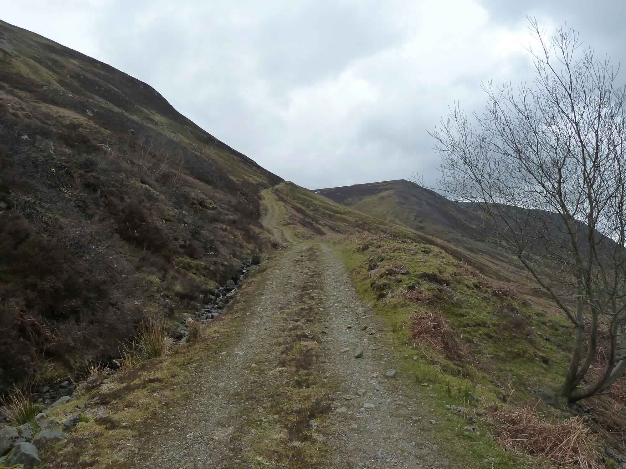
The path is fairly steep at the beginning.
11.34 – The steep path to Auchnafree Hill (Corbett)
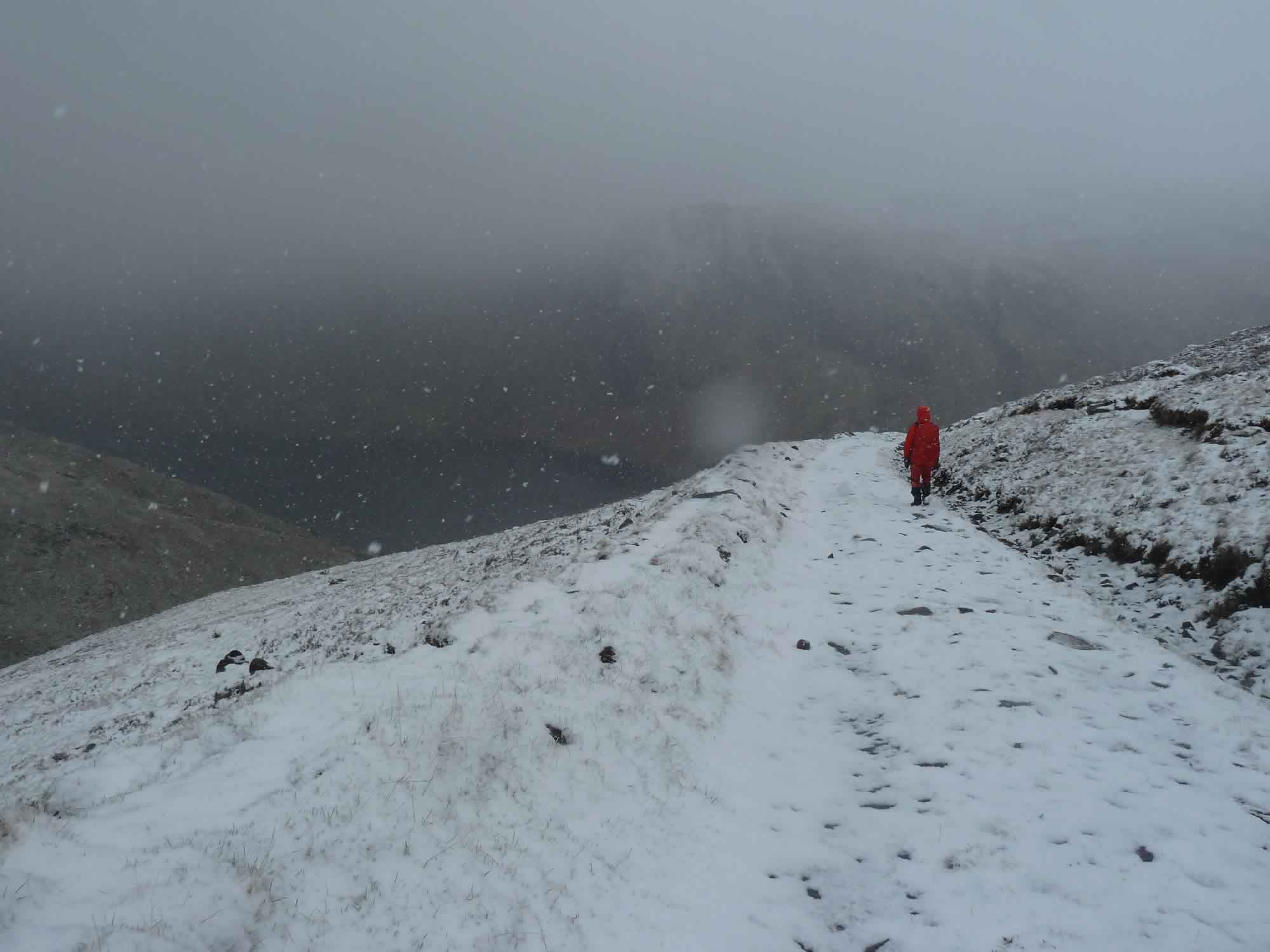
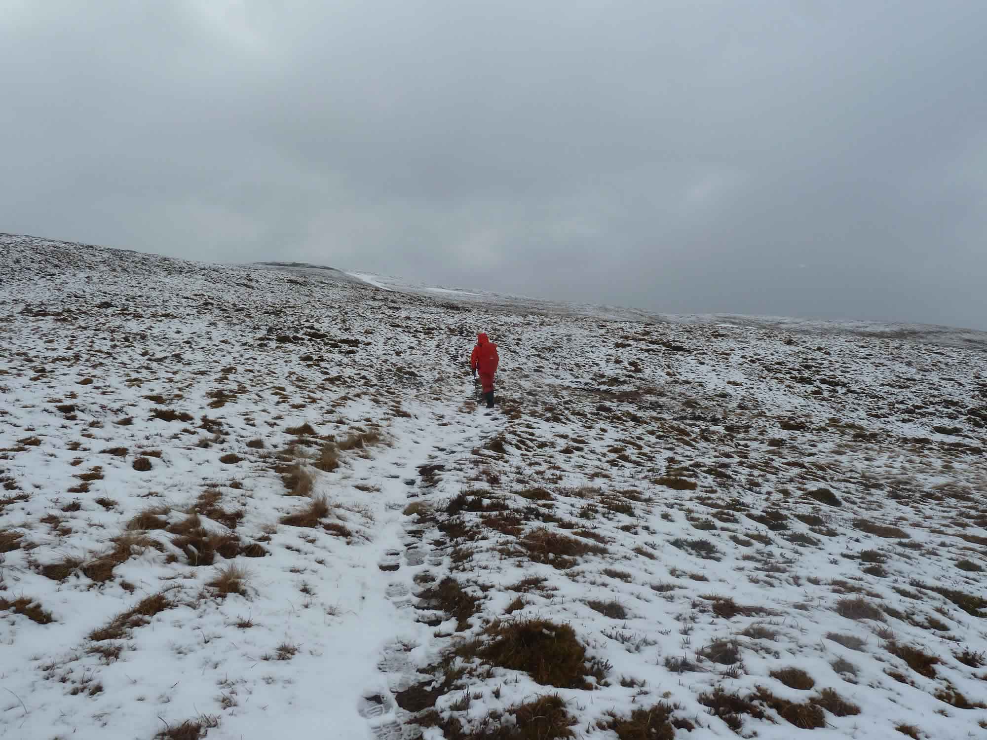
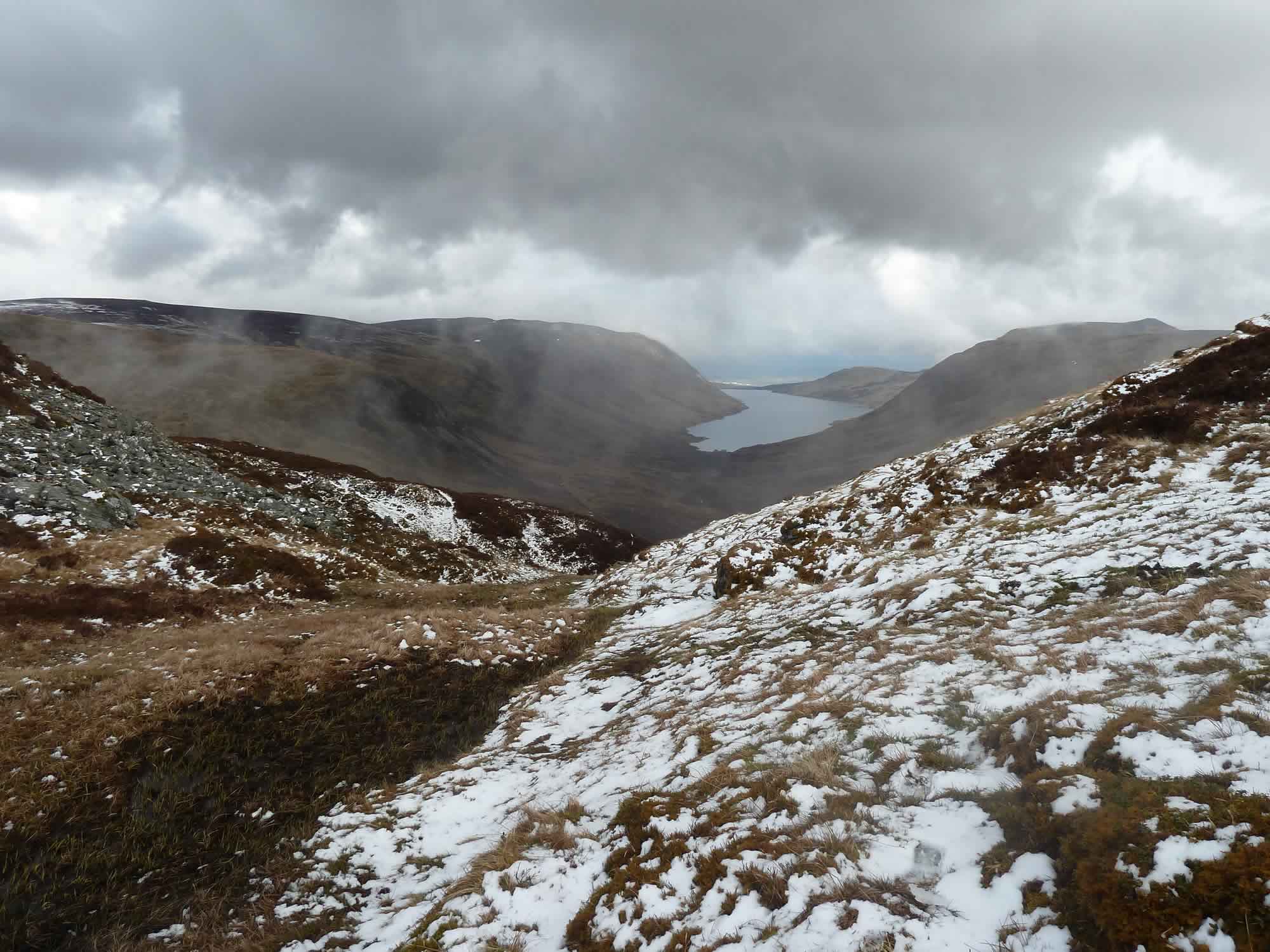
We were happily striding along when we suddenly noticed the hail, just tiny tiny pellets.
An unexpected snowstorm
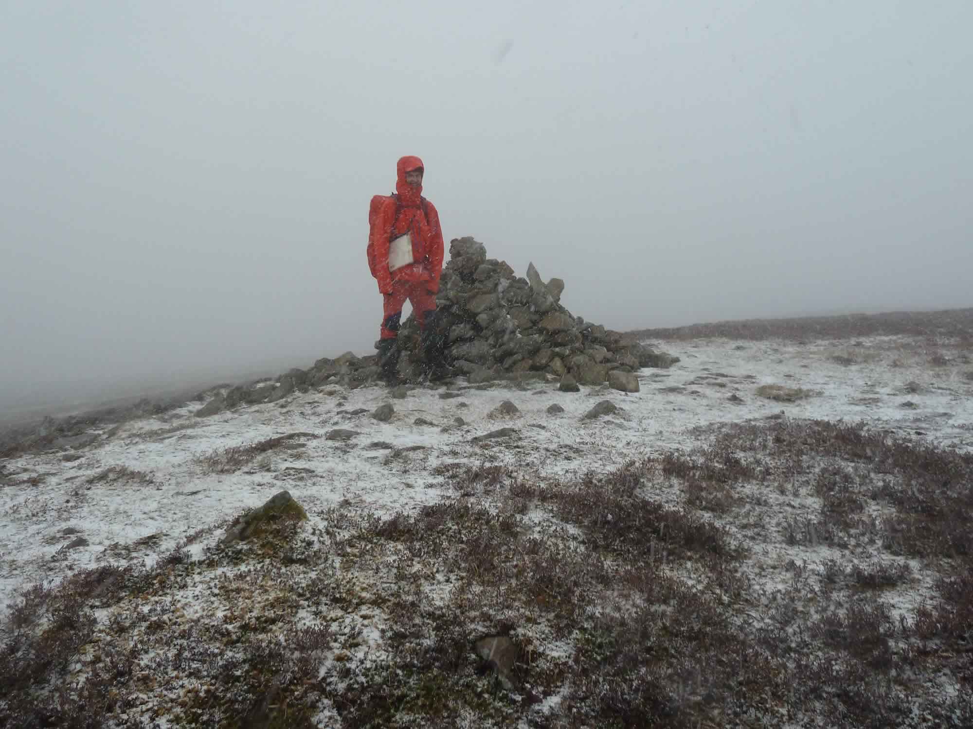
As we climbed, the hail became light snow, then large flakes, and an hour later we reached the summit engulfed in low cloud and surrounded by a dusting of snow.
12.33 – Simon at the summit of Auchnafree Hill
Simon’s original plan had been to go from Auchnafree Hill to Ben Chonzie by taking a pathless route across the ridge. Alas, in the snow blizzard, that didn’t sound like a sober idea.
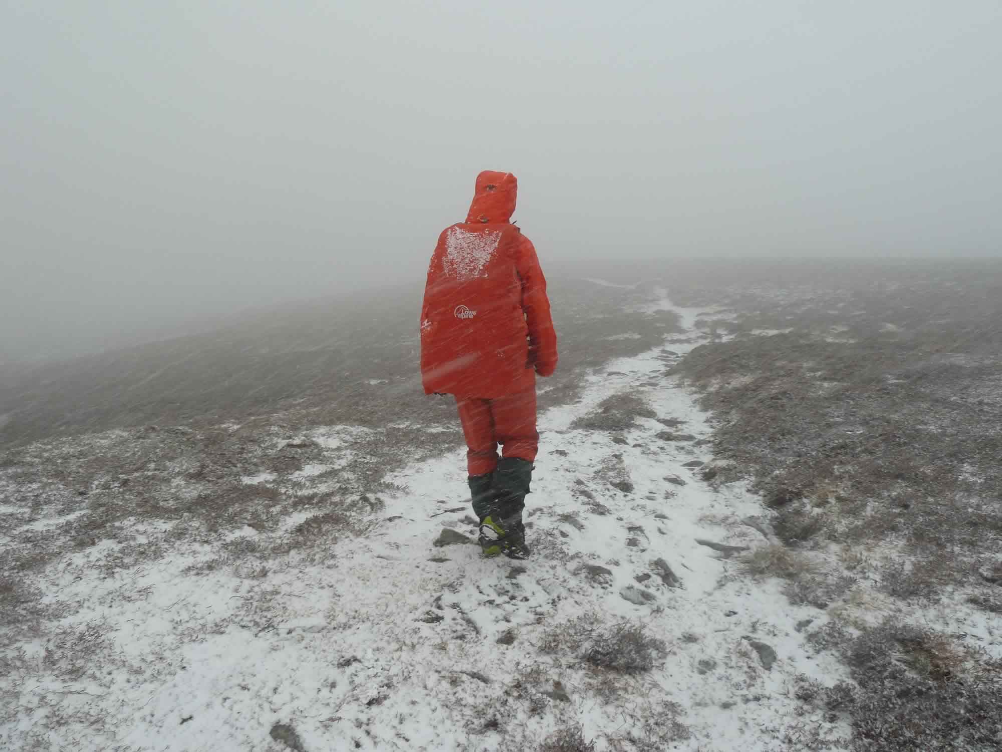
We turned back and soon discovered that the snow had hidden our footsteps. At times we could see the track, just; and at times we simply imagined it.
12.37 – Descending from Auchnafree Hill in a snow blizzard
Eventually we came to the junction, turned right, and rejoined the steep path.
13.05 – View of Loch Turret through the fog and snow
Apparently the views from the top of Auchnafree Hill are vast. You can see the Ben Lawers range to the northwest, but not today.
13.19 – Ben Chonzie (Munro) covered in fresh snow
As the cloud lifted we could see the crags of Càrn Chois and Creag nan Uan on the other side, and Ben Chonzie, our Munro.
We had lunch by Lochan Uaine. Lochan, by the way, is a Scottish Gaelic word that means “small loch”.
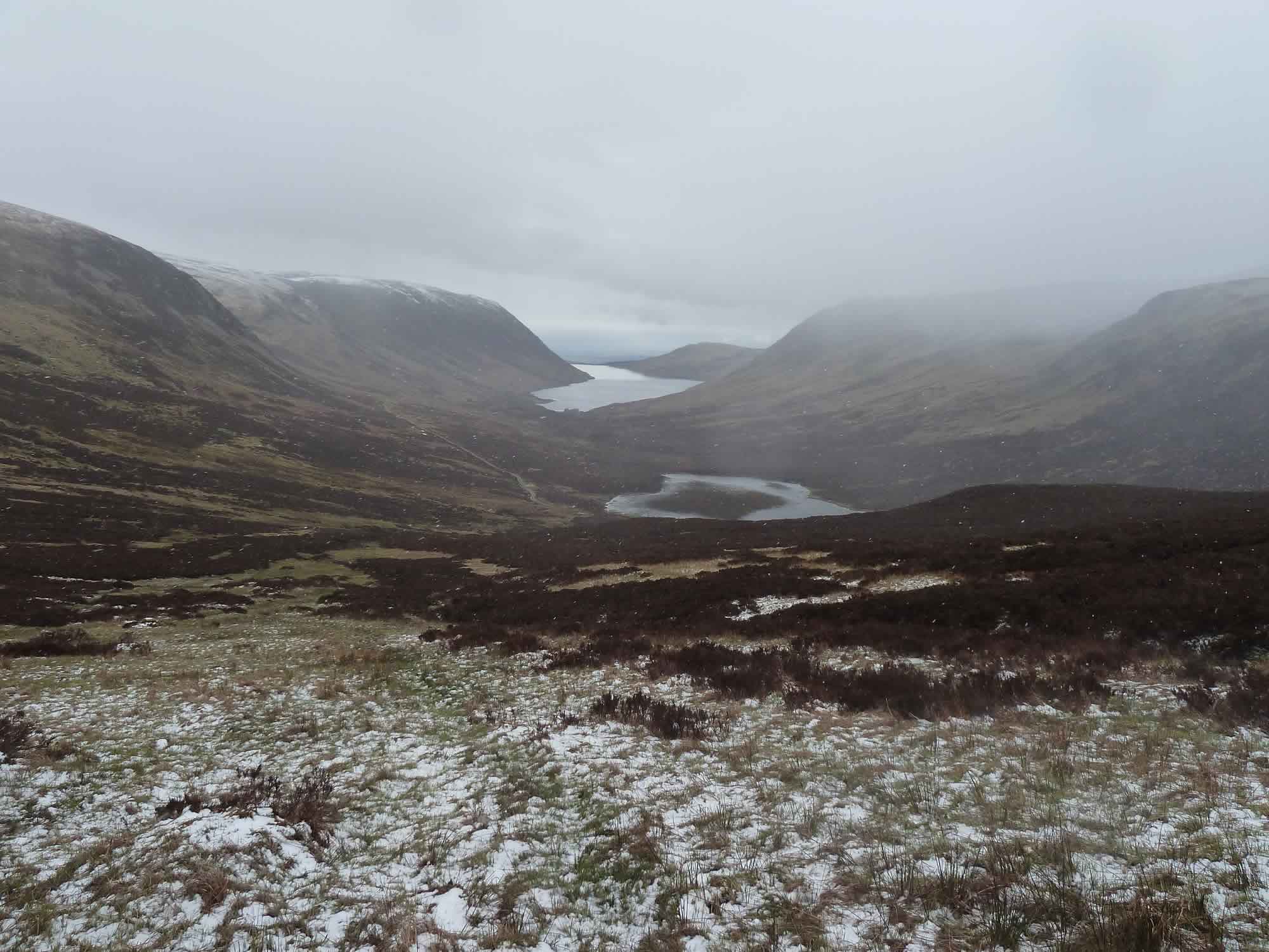
14.36 – Looking back at Loch Turret (background) & Lochan Uaine (centre)
On our way to Ben Chonzie
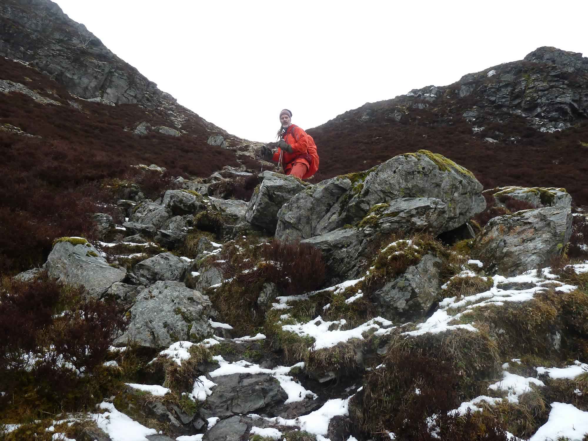
I was sort of looking forward to the scrambling.
“Sort of” because it’s great to be able to ascend swiftly, but what’s not so great is the heavy rucksack. You feel like you’re carrying a pregnant goat on your back, and you’re going to tumble down.
14.48 – Scrambling up to the bealach
The good news was that we were going to take a different route back, so we wouldn’t have to come down those rocks, which is even harder. That, at least, was the theory.
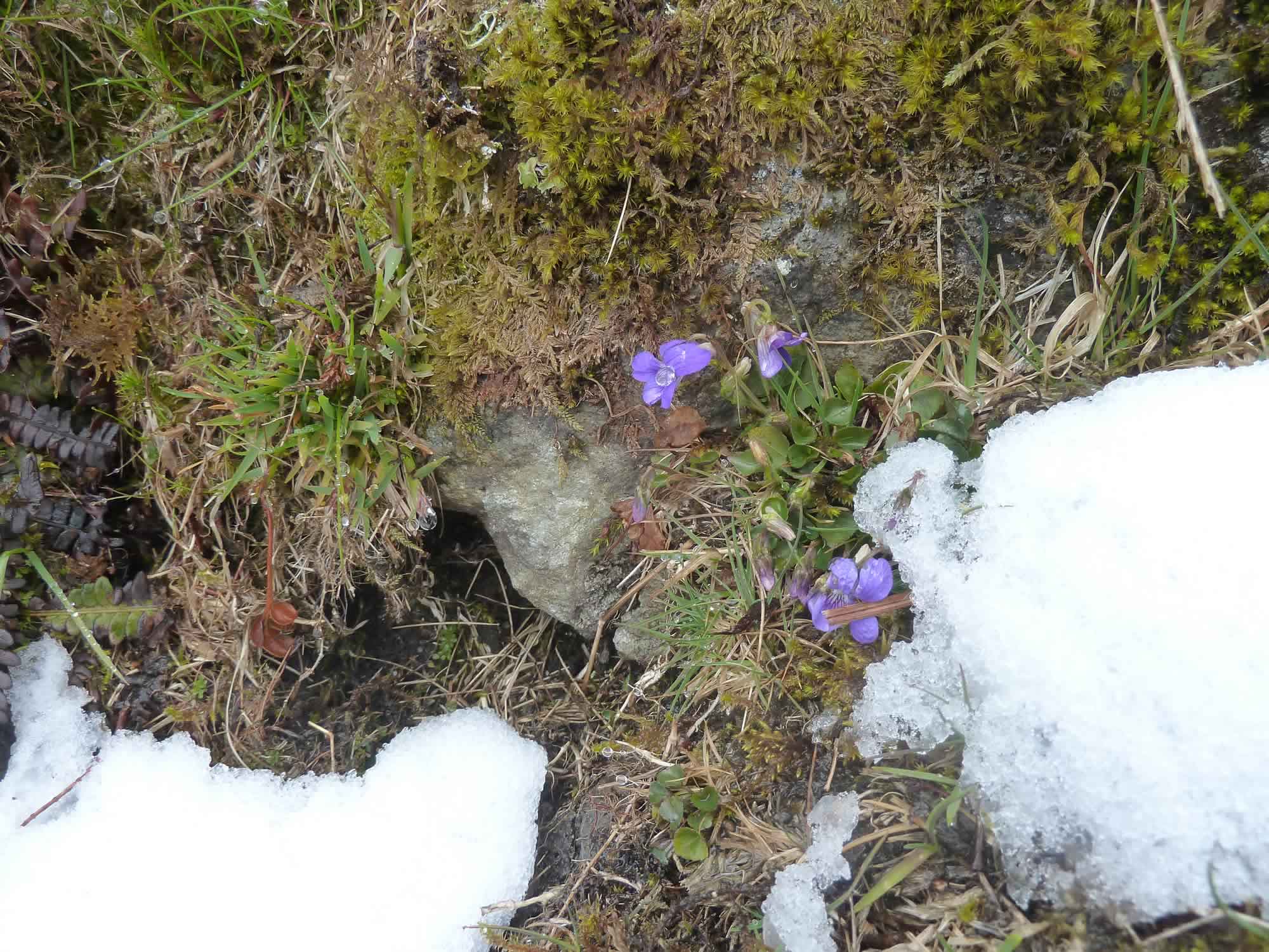
14.52 – Wildflowers
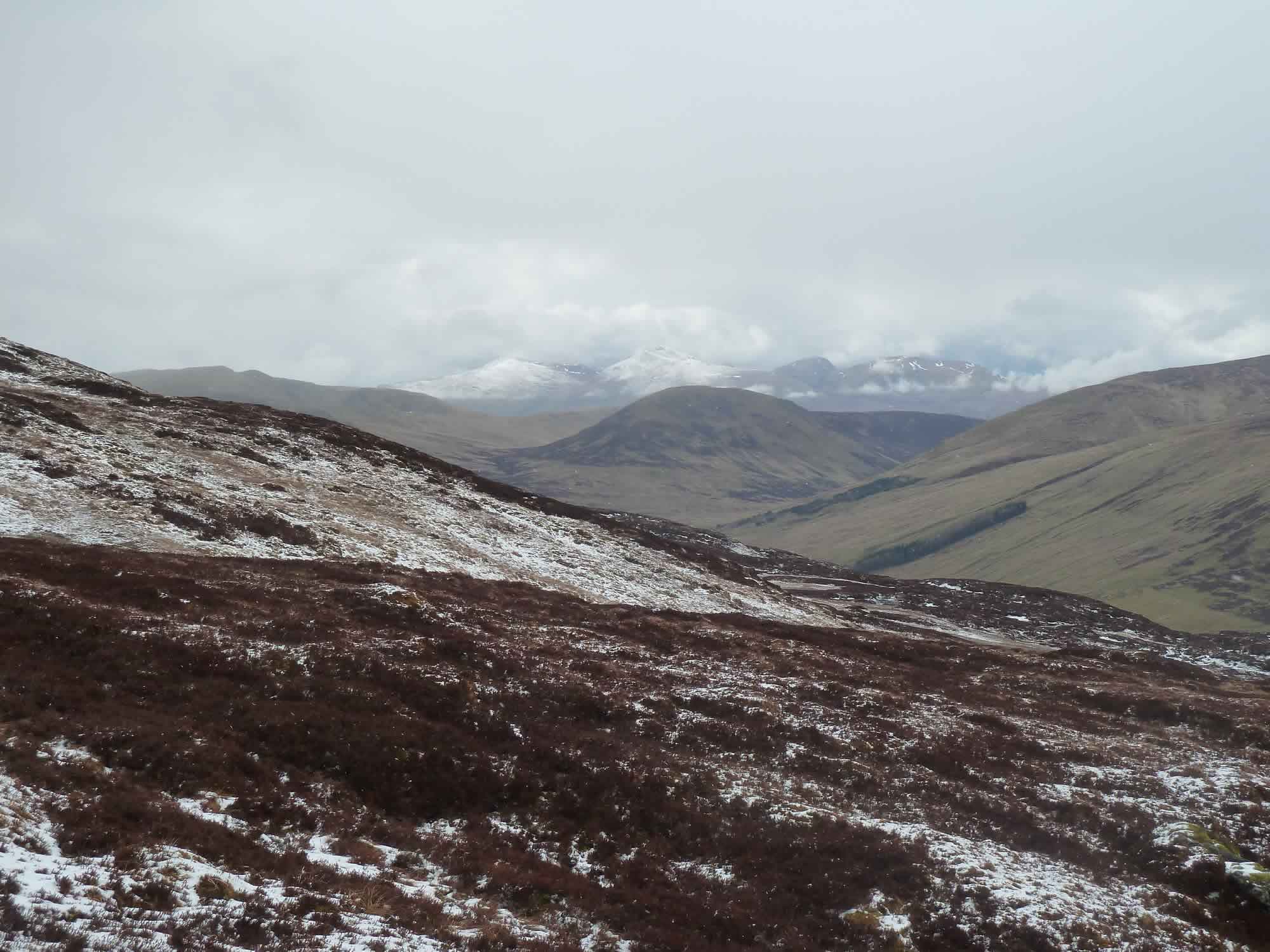
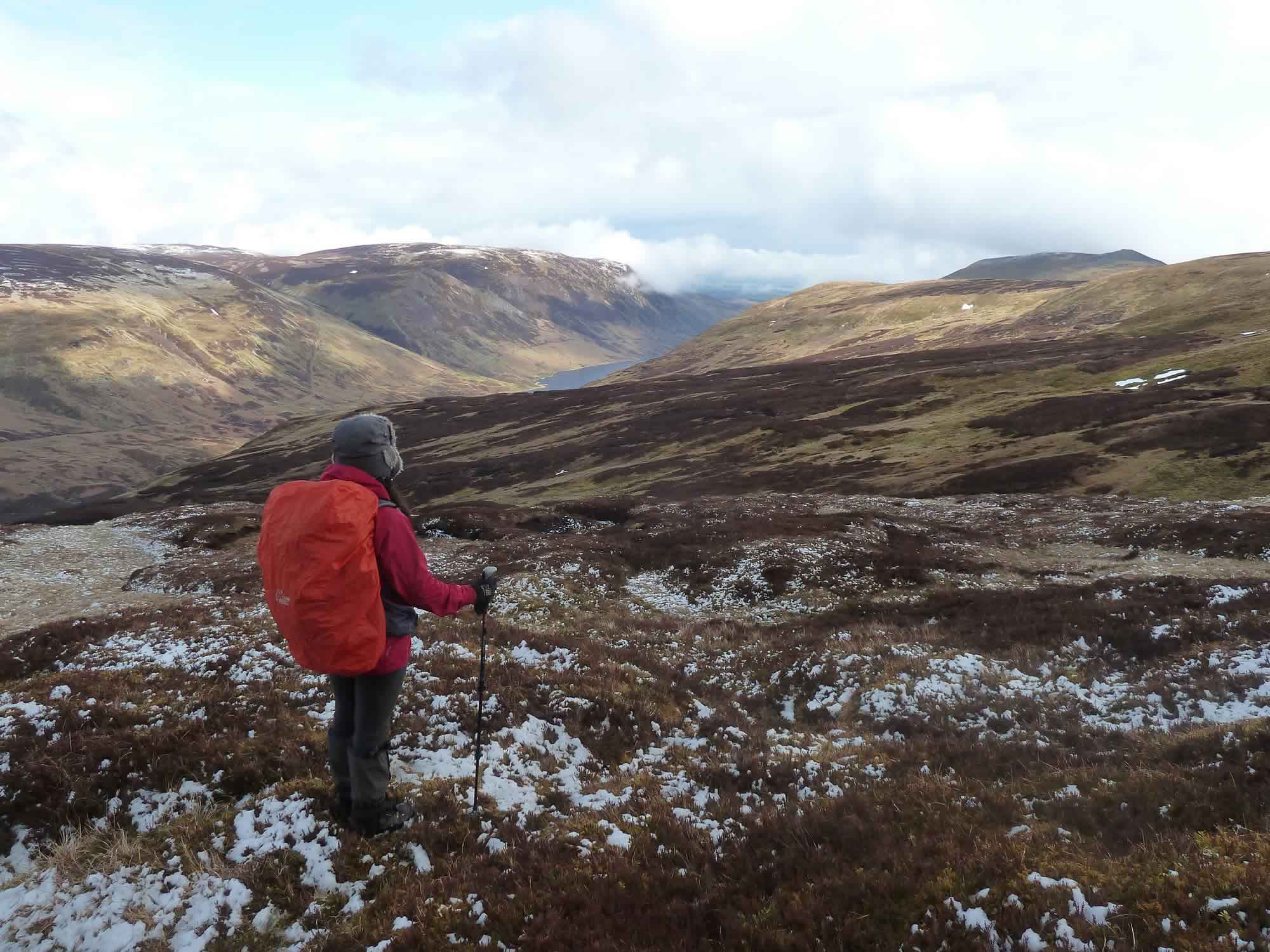
Here we stopped to admire the Munros in the distance. They’re the Ben Lawers range, on the north shore of Loch Tay. The ones we couldn’t see from the top of Auchnafree Hill.
We climbed three of them in one day last year, in November.
15.06 – View of the Ben Lawers range (zoomed in)
As we approached the top of Ben Chonzie, our Munro, the cloud seemed to be lifting.
15.14 – The solitary walk to the summit
I love those immense walks with no one in sight. We’d seen the odd walker in the morning, but nobody for several hours.
A bit about Ben Chonzie
At 931m, Ben Chonzie (“mossy mountain” in Gaelic) is the highest peak in this area.
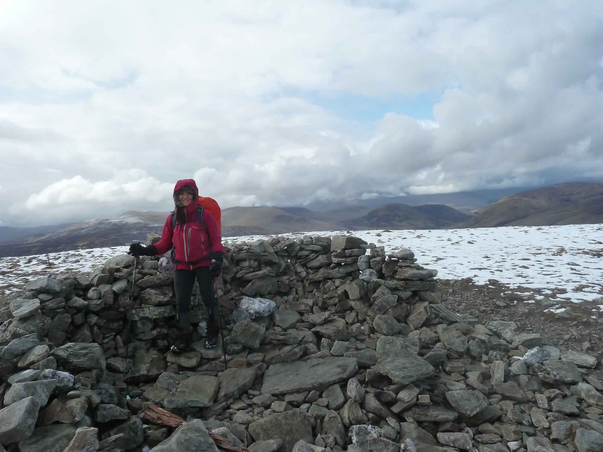
15.42 – Maria at the summit of Ben Chonzie (Munro) *
There are two main routes to the summit. The adventurous one from the east, the one we took; and the gentle, faster one from the west.
The west route is obviously a more popular one, judging by the unexpected number of people we saw at the summit, ten or so. Most of them were carrying much lighter gear than us, and some didn’t even have a rucksack.
Just look at Simon to see what we were both carrying.
15.58 – Descending to Loch Turret
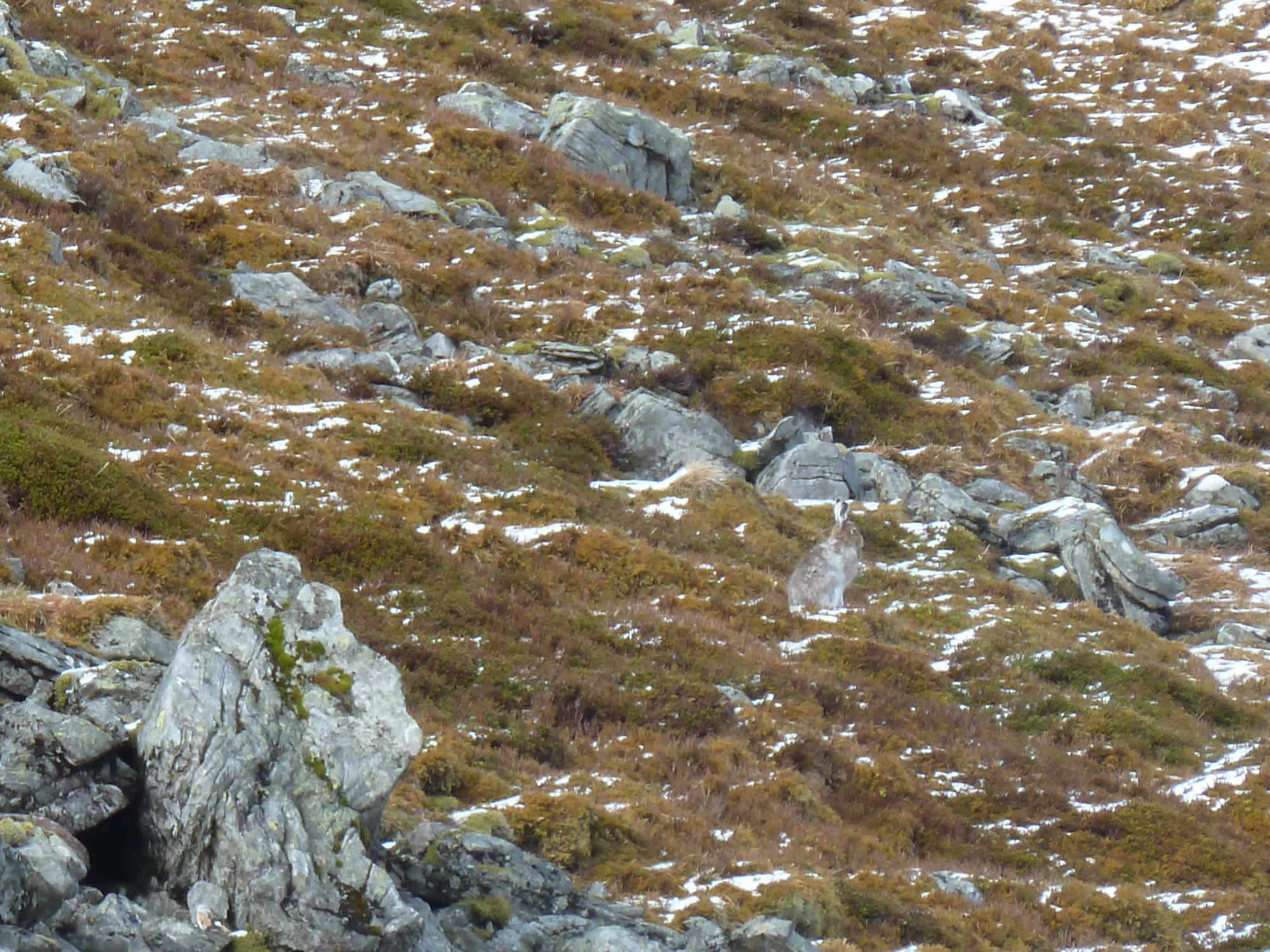
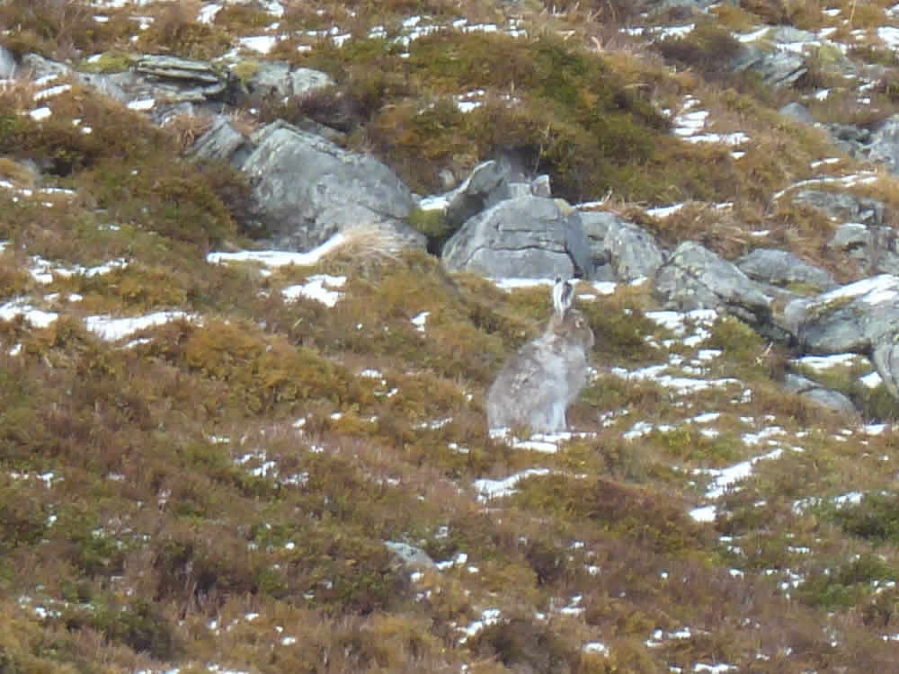
A few minutes later we spotted this cute guy, wisely camouflaged.
16.03 – Spot the camouflaged hare
16.03 – Here it is!
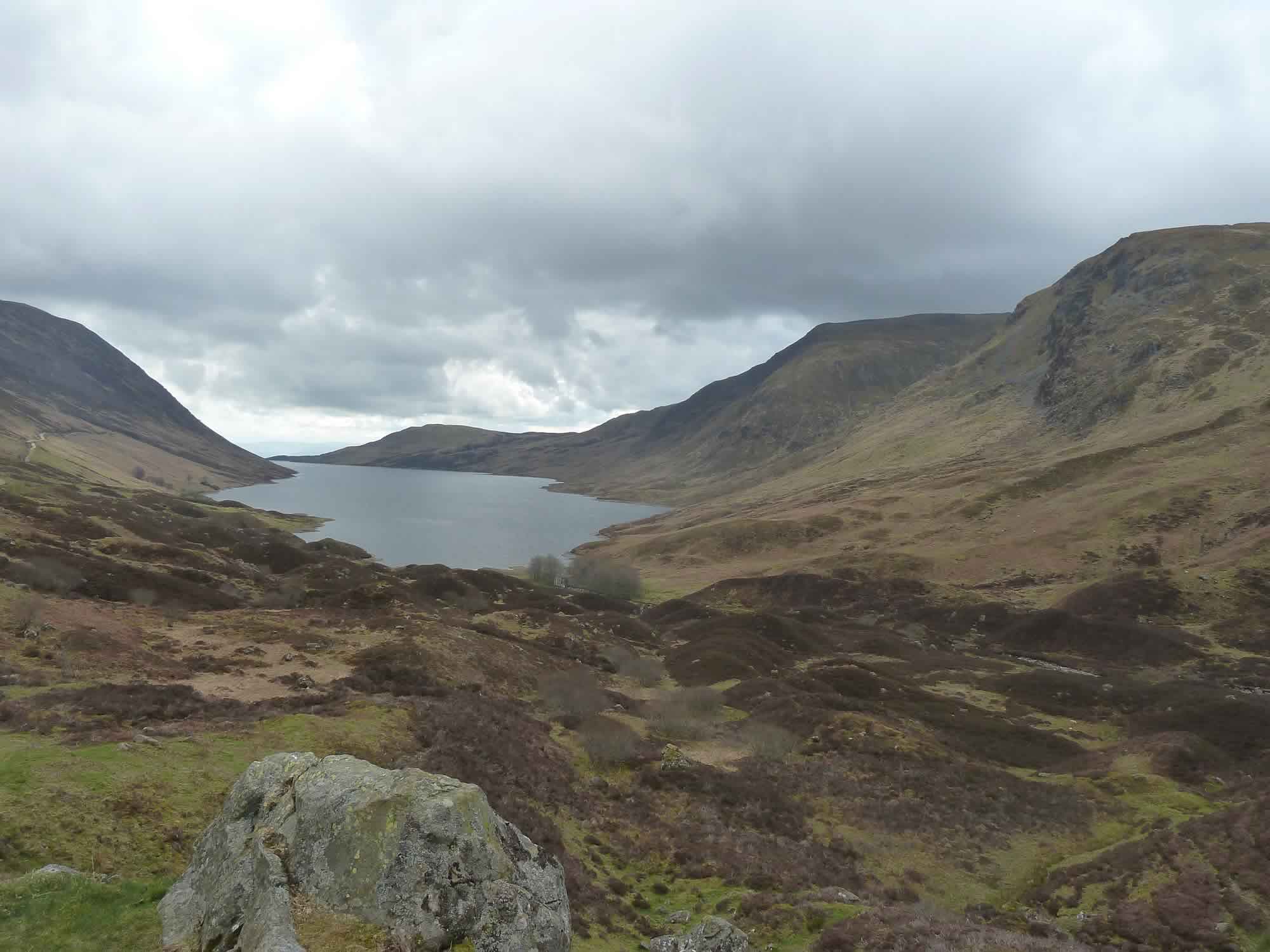
I’ve learned today that Glen Turret has been dammed for water since the early 19th century, and that the current dam dates back to 1963.
The original dam was built to power the mills of Crieff, the town southeast of the loch.
16.13 – Maria contemplating Loch Turret *
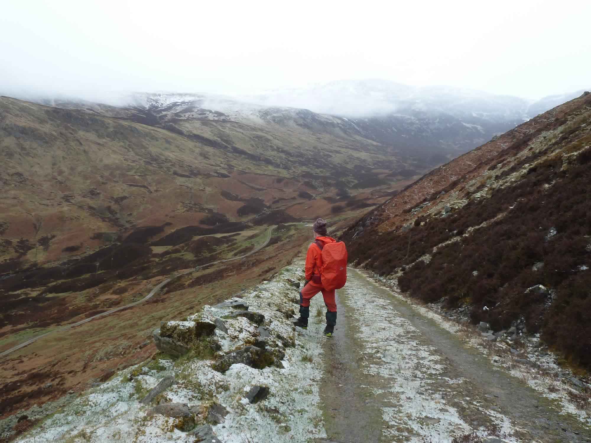
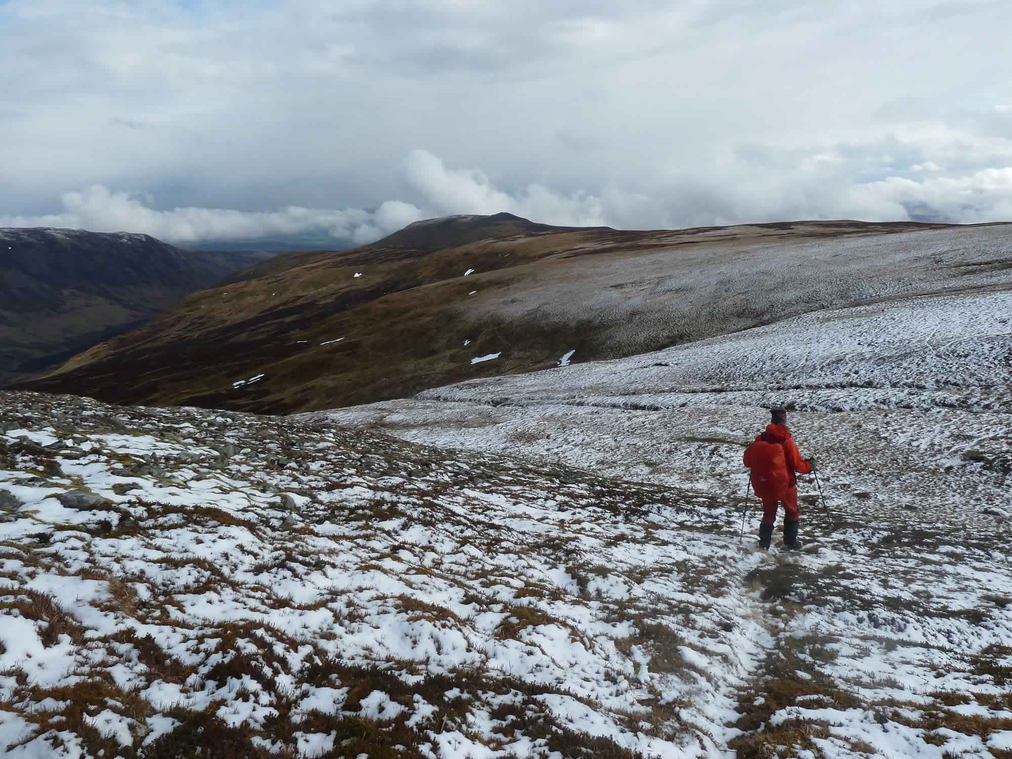
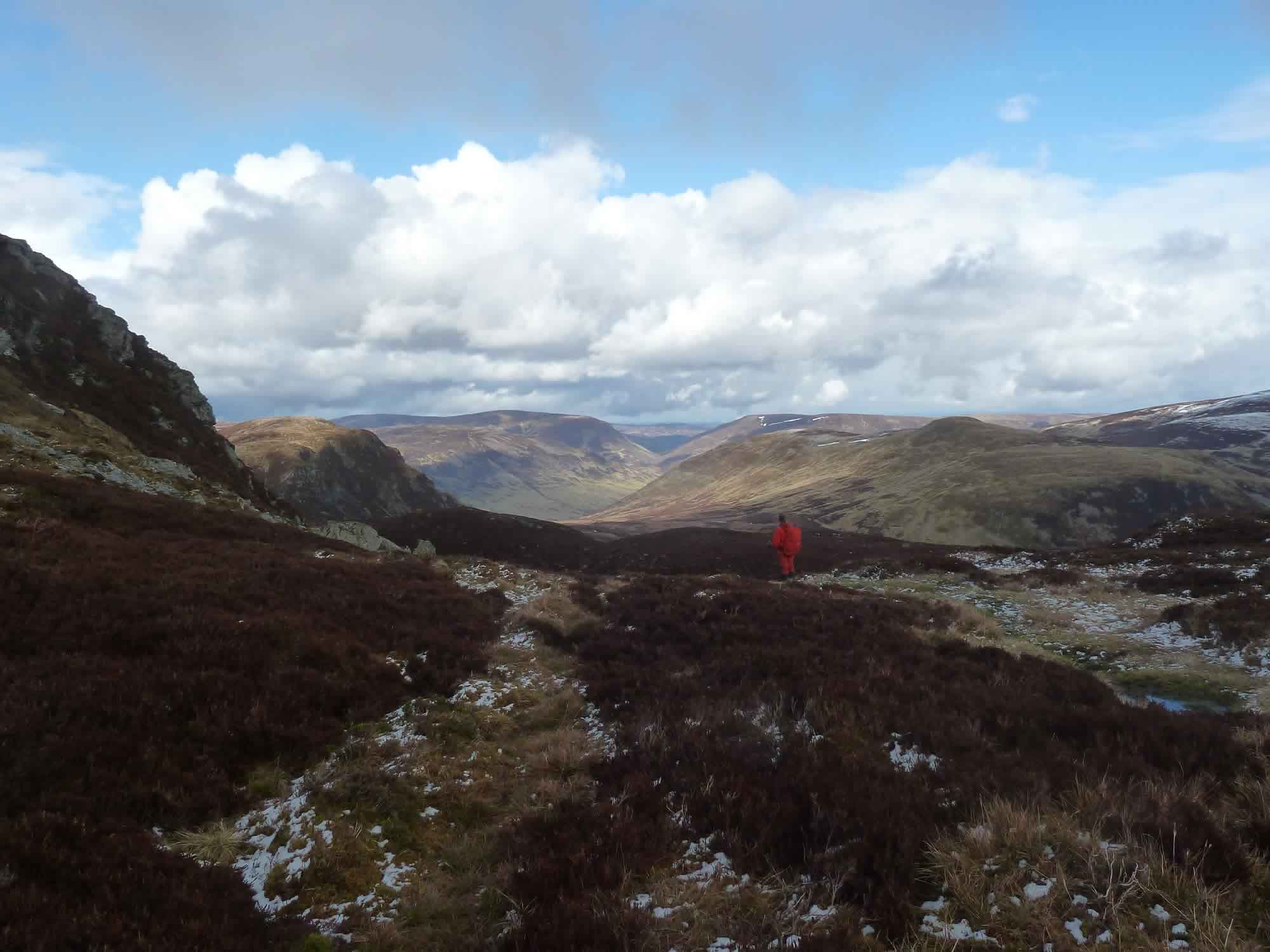
The cloud had now lifted and we were confident we could find the path down, avoiding the scrambling.
16.20 – Simon looking for the path down
A change of plan
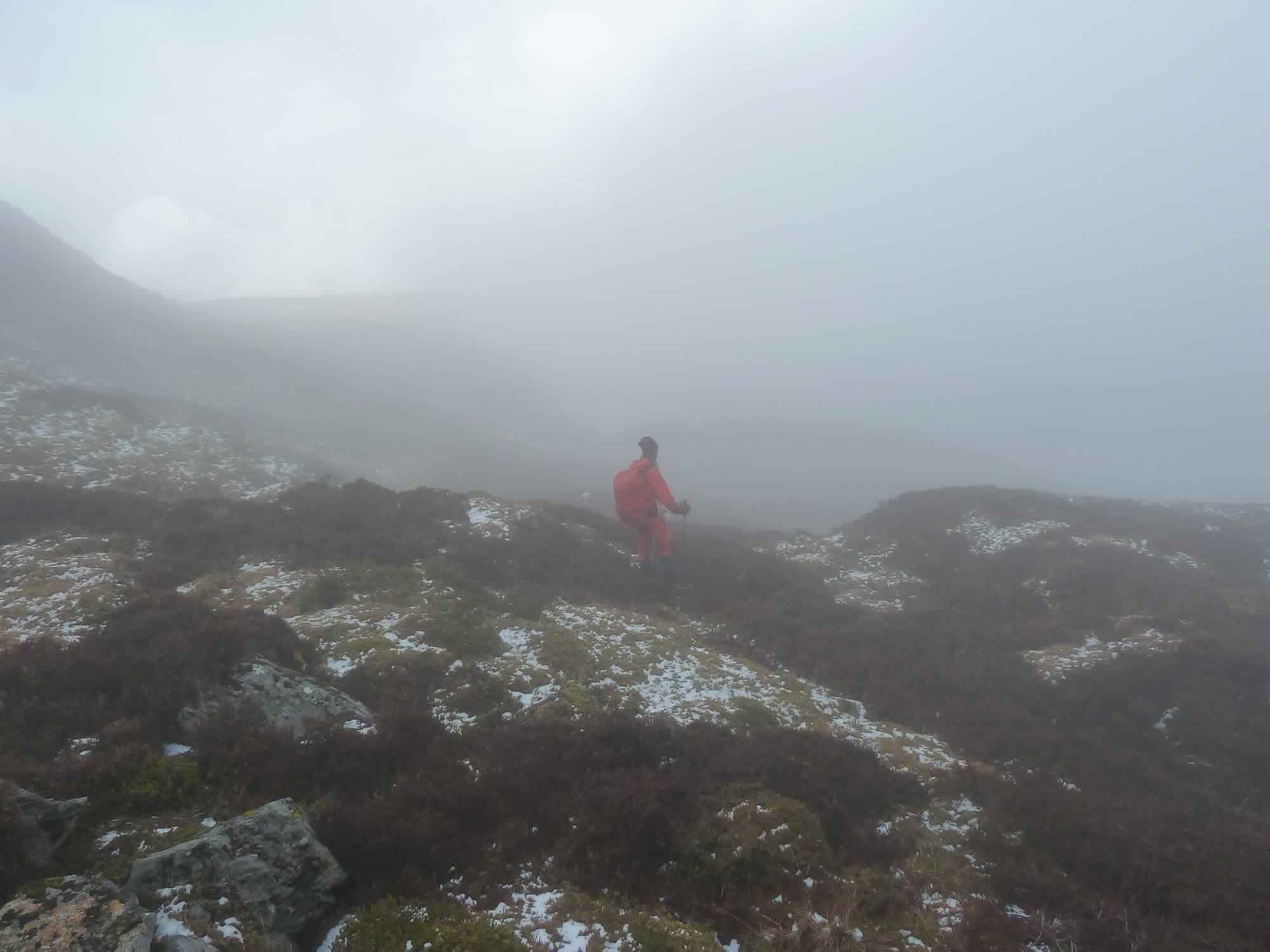
But, all of a sudden, we were engulfed in clag. We couldn’t see more than a few yards ahead of us. The path was somewhere near us, but where?
16.50 – Navigating in the clag
The only option we had was to go back to the bealach. Back to the rocks.
Bealach, pronounced /ˈbɛlax/, is a Gaelic word that means “narrow mountain pass”.
17.09 – Back at the bealach
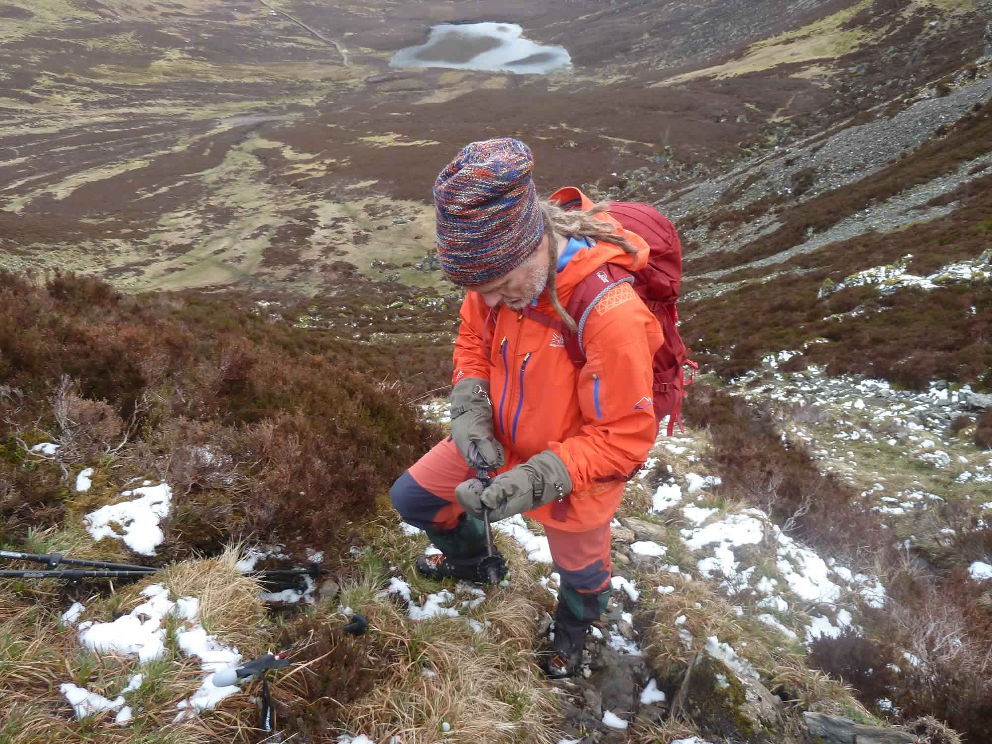
We put the poles away, and down we went. Simon descended smoothly, while I slid my butt on every rock with little grace, puffing like a locomotive.
17.16 – Preparing to scramble down
In different weather we’d have made our way back over Meall na Seide and Càrn Chois, the hills south of Ben Chonzie. The ones to the left in this photo.
But I suspect what we did was a lot more fun.
18.54 – Looking back at our climbs
The Glenturret Distillery
Here’s another bit I’ve learned today: the Glenturret Distillery began production in 1775, which makes it Scotland’s oldest.
Apparently, before that, people used to make illegal whisky with water from the glen.
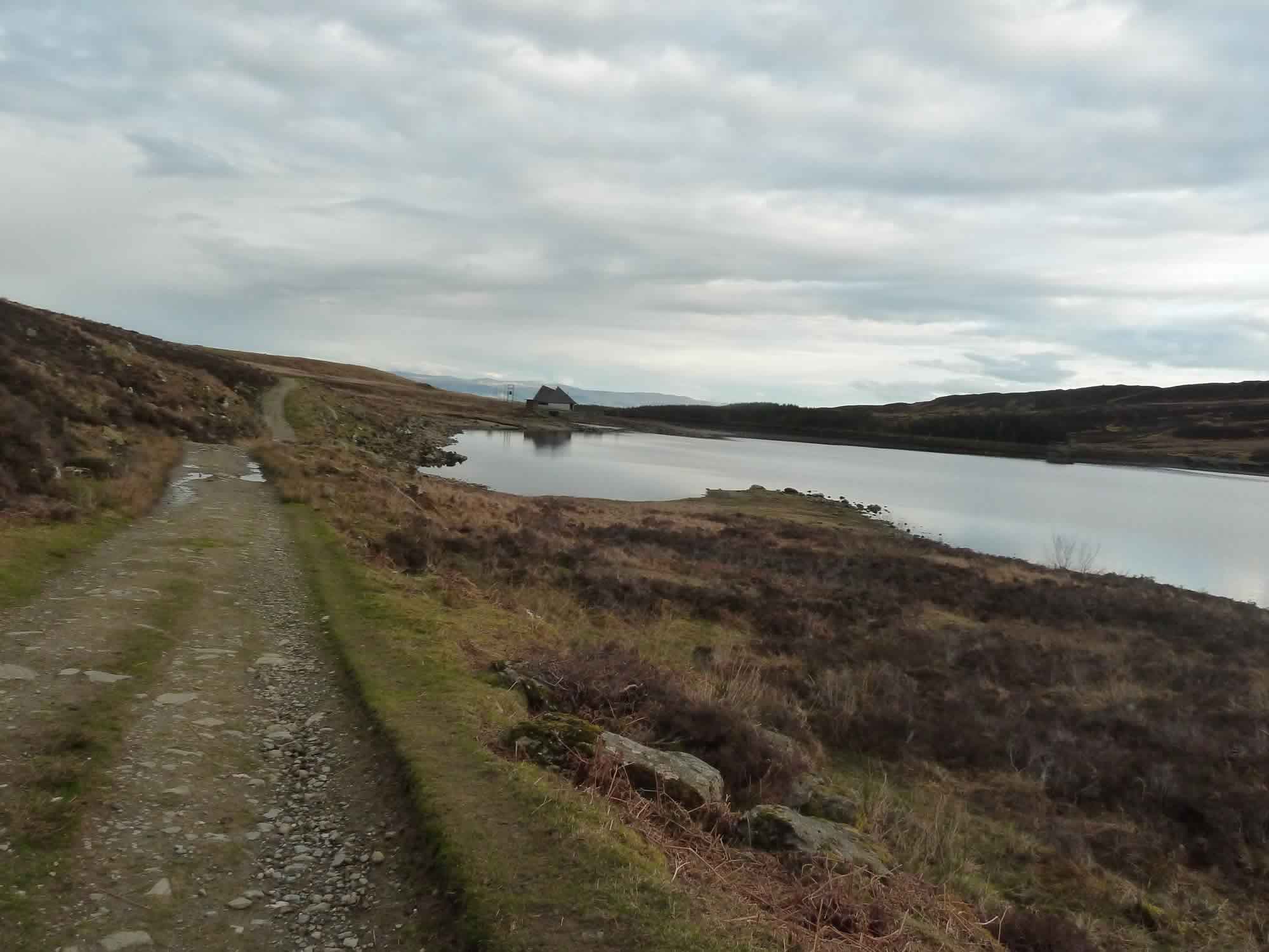
19.23 – Back at the dam
We got back the same way we came; and, by the time we reached the dam, we were more hungry than tired.
We both agreed that the best part of this adventure had been the unexpected snowstorm. But, for me, there was one more thing: the call of the grouse that we had heard now and then throughout the day.
In my heart, that is the voice of the Scottish hills.
I took all the photos with the Panasonic.
* Simon took this photo.
