Climbing Beinn Dearg: map & data
Total climbing: 955 m
Total time: 06:38:32
9.2 mile walk in 6h40 from 10.50 to 17.30 – average 1.4 mph
After several months of lockdown, they finally let us out, partially. We were free to roam the Scottish hills, on condition that we return home for the night.
Off to Perthshire
Fearing that everyone might be heading for a Munro, we settled for Beinn Dearg, a Graham in sunny Perthshire.
Grahams are Scottish mountains of between 2,000 and 2,500 feet (609.6 to 762.0 m). To qualify as Grahams, hills must also have a prominence of more than 150 m (492.1 ft).
We left Edinburgh just before 8am in our newly converted Toyota van. We arrived at the Glenartney Church car park at about 10.30am, after stopping for breakfast and to take a few photos. There were only eight or nine vehicles parked.
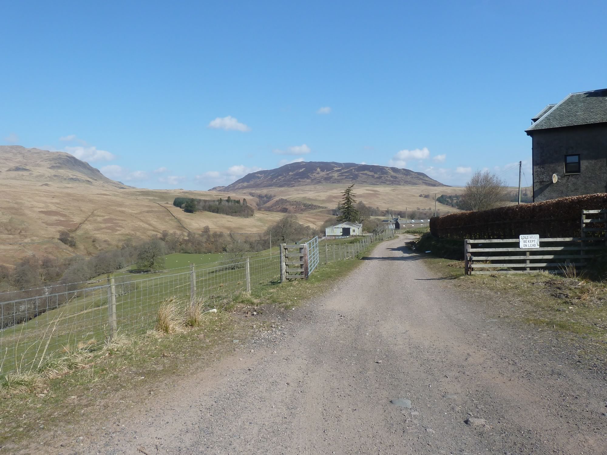
The first stretch was tarmac, but soon we arrived at the Dalchruin Farm.
10.57 – Entering Dalchruin Farm
The forecast was for a partially sunny morning and a cloudy afternoon.
Not wanting to risk the cold, I was wearing two pairs of gloves, big boots, a winter hat, zipped-up jacket, and heaven knows what else.
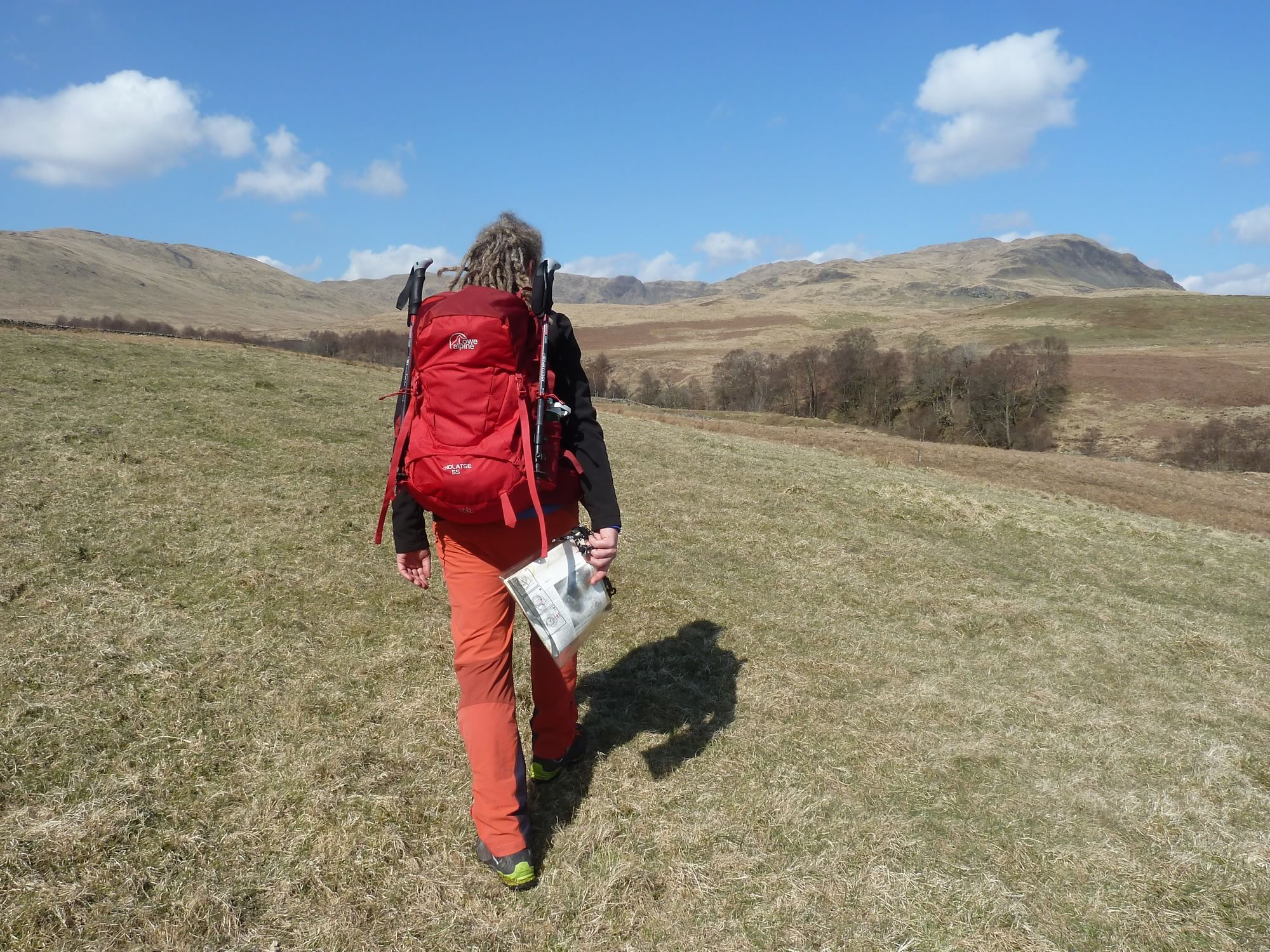
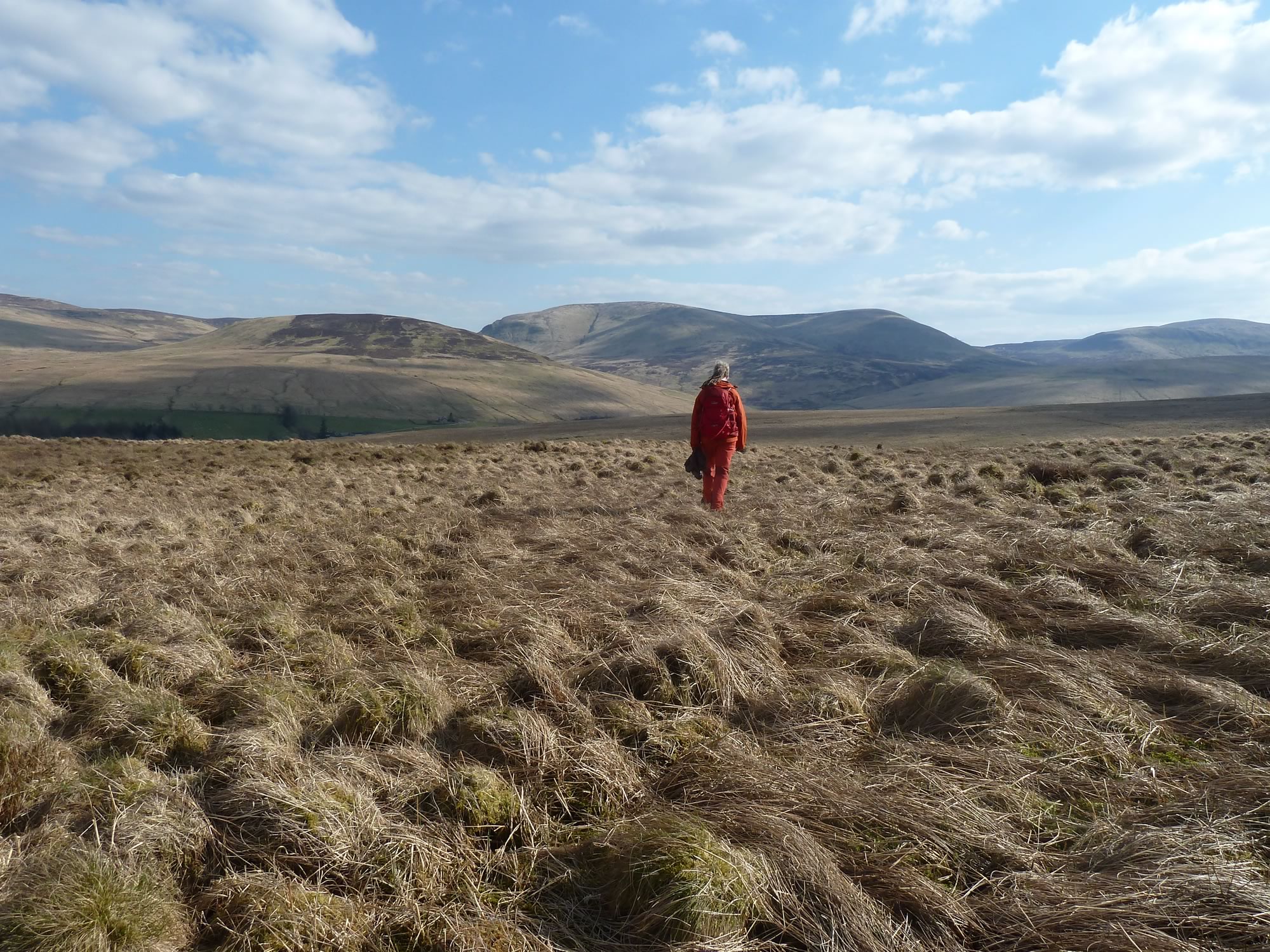
11.22 – Simon heading for Beinn Dearg
A few minutes later I was suffocating in the heat.
So I spent the rest of the day with the big gloves in my pocket, and my hat dangling from my rucksack now and then. So much for the Scottish weather.
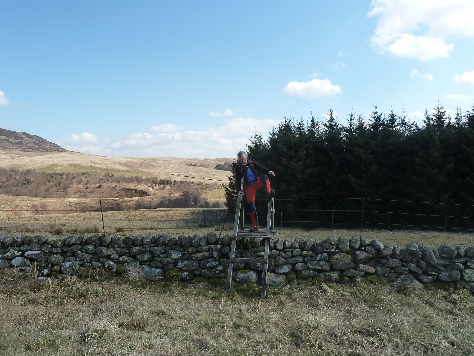
11.27 – Climbing a steep stile
The hills on our way to Beinn Dearg are grassy all over. A sheep’s paradise, I guess, but we didn’t see many sheep.
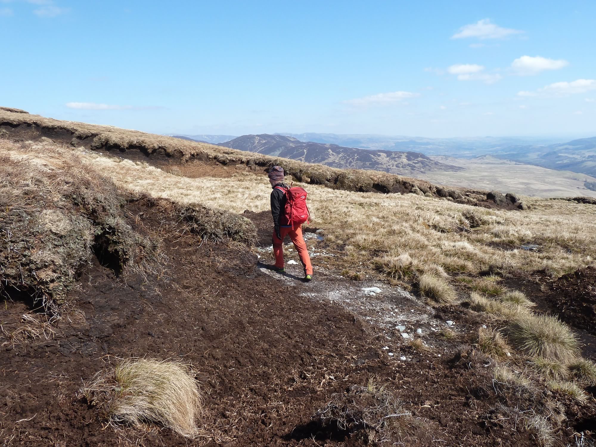
What we did see was plenty of peat.
12.33 – Peat galore!
And dozens of wee holes in the ground. They were the homes of the voles that were running around, half curious, half fleeing.
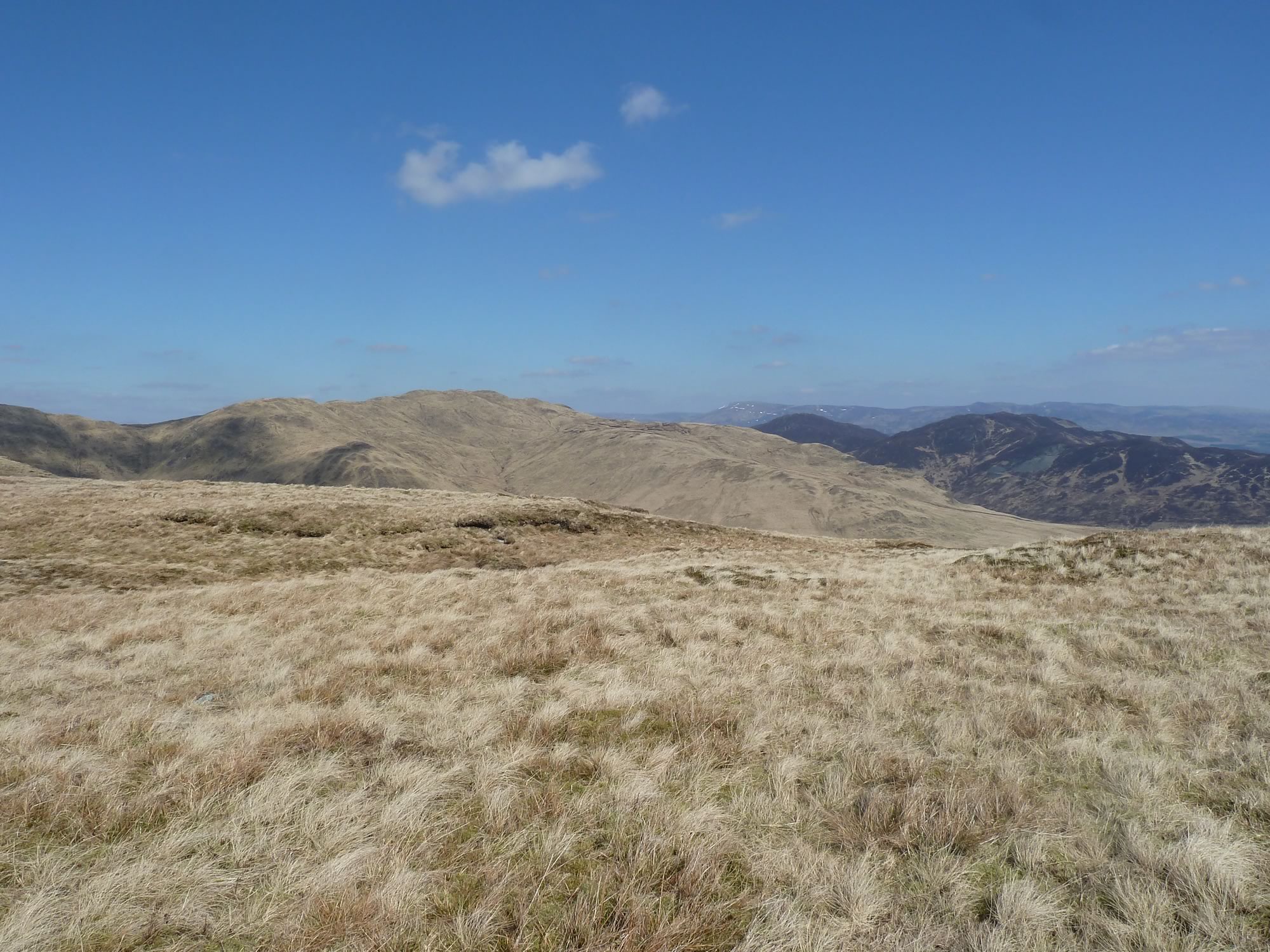
The views in that bright sun were magnificent. We could see rows and rows of hills.
12.42 – View of Beinn Dearg (centre) & Ben Halton (right)
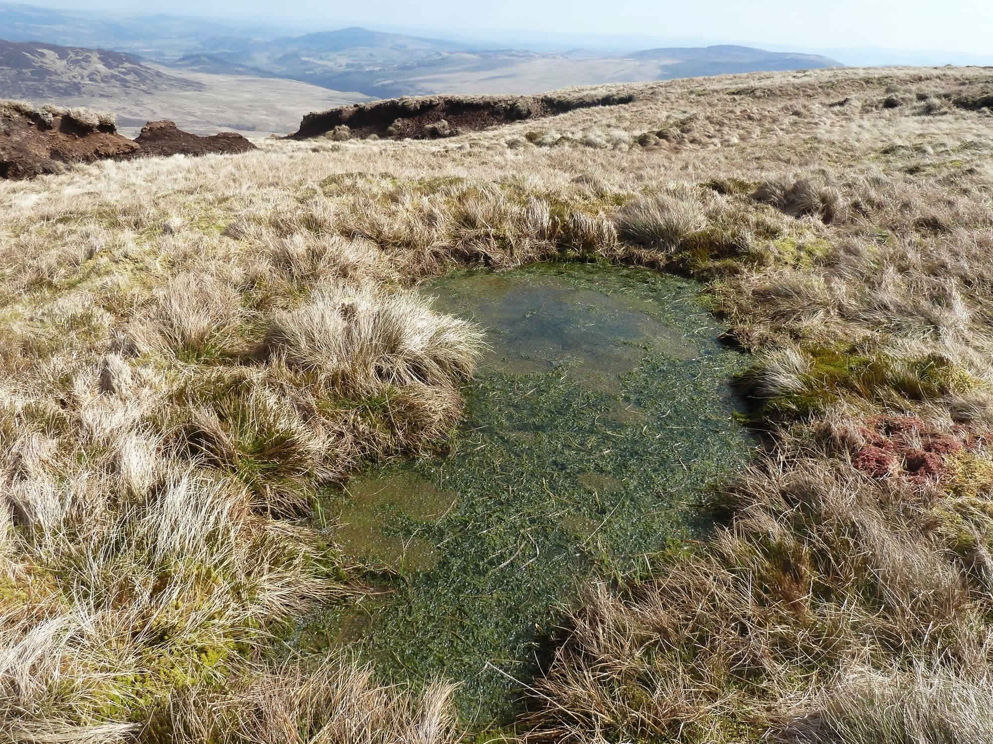
What was less magnificent was the frog spawn. It looked like some revolting concoction.
After several days with no rain, the spawn seemed to have perished in the heat. The green puddles reminded me of the Yellowstone pools.
12.53 – A ghoulish sight
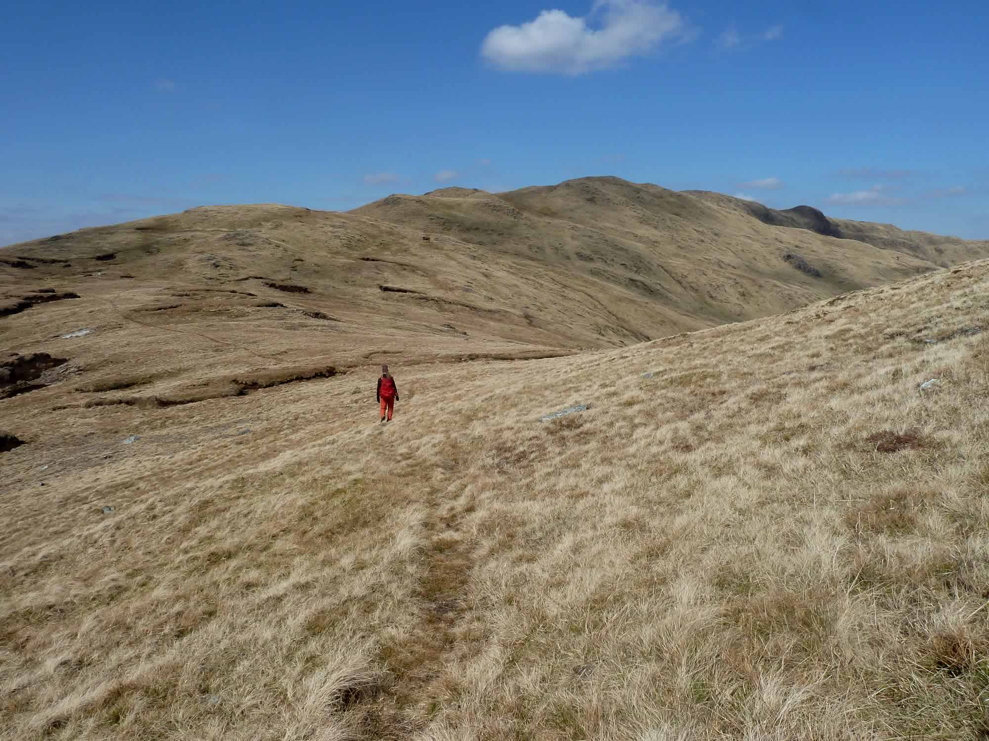
We’d come to those hills hoping that there wouldn’t be too many hikers, but we never expected to see no one. There wasn’t a soul all day. We had this immense landscape to ourselves.
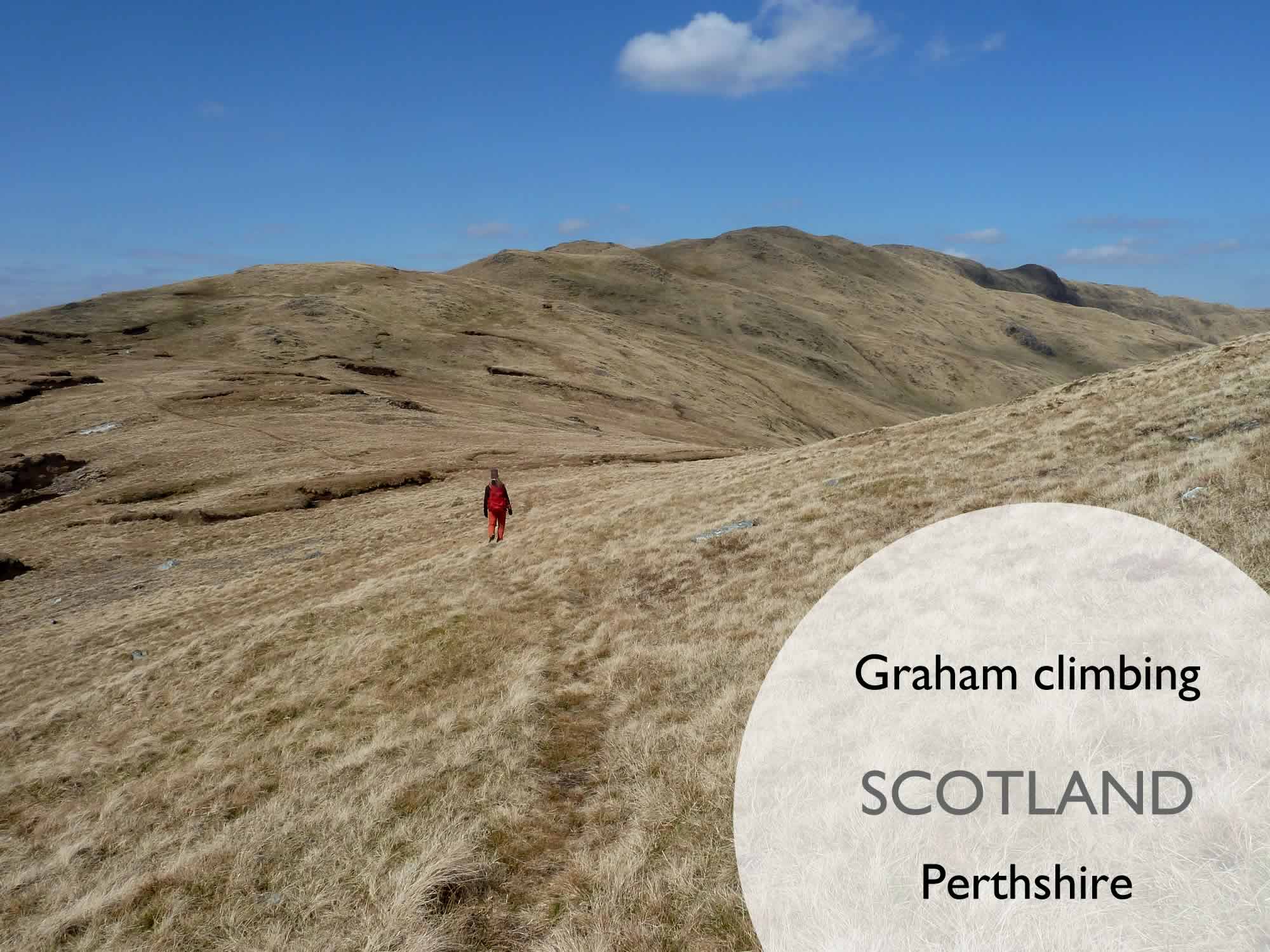
13.03 – Simon heading for the ridge
By now I had put my hat back on, mostly to avoid the sun on my head.
We kept looking at all the hills we haven’t climbed yet. We’ll never run out of adventures.
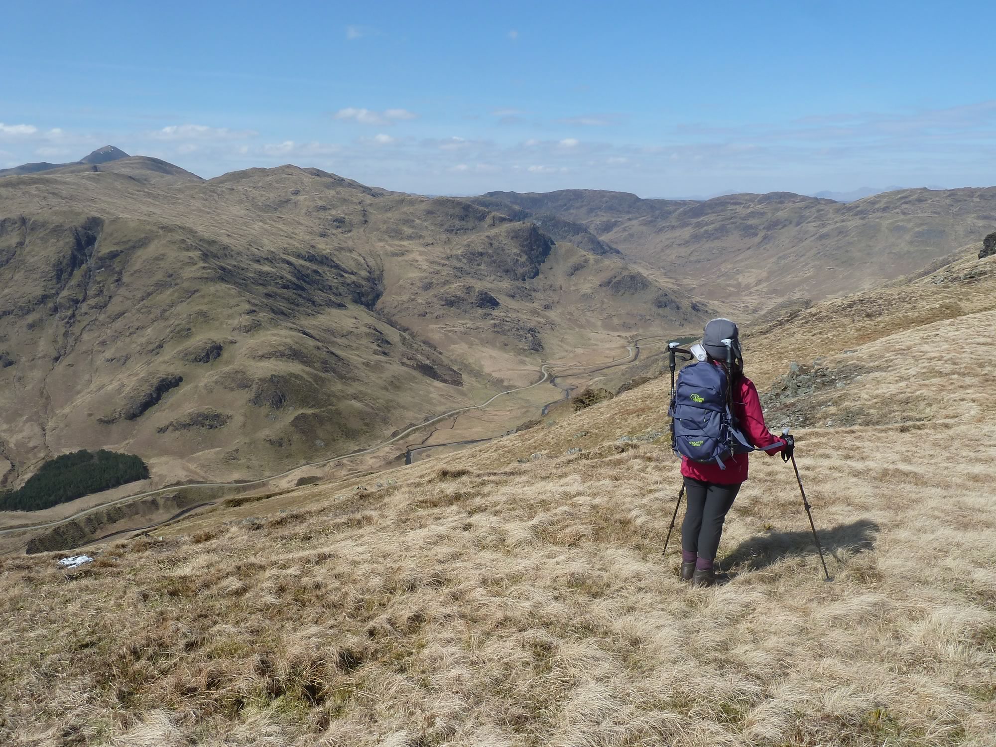
13.16 – Maria contemplating the Estate road *
Around here we stopped for lunch. We had brown rice & barley with salmon and roast vegetables. Yum.
13.22 – Looking back
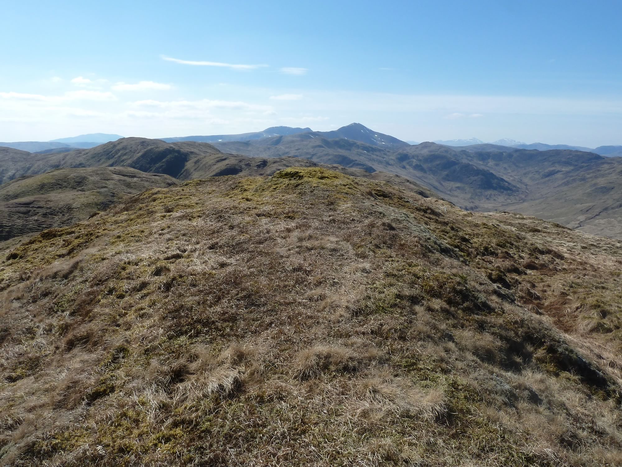
Ben Vorlich, the pointy mountain in the distance, is a Munro.
A bit about the Scottish hills
Munros are Scottish mountains of more than 3,000 feet (roughly 914 m). There are a total of 277 Munros, of which we’ve climbed about twenty so far. Ben Vorlich (985 m) isn’t one of them.
14.12 – Ben Vorlich in the distance (left)
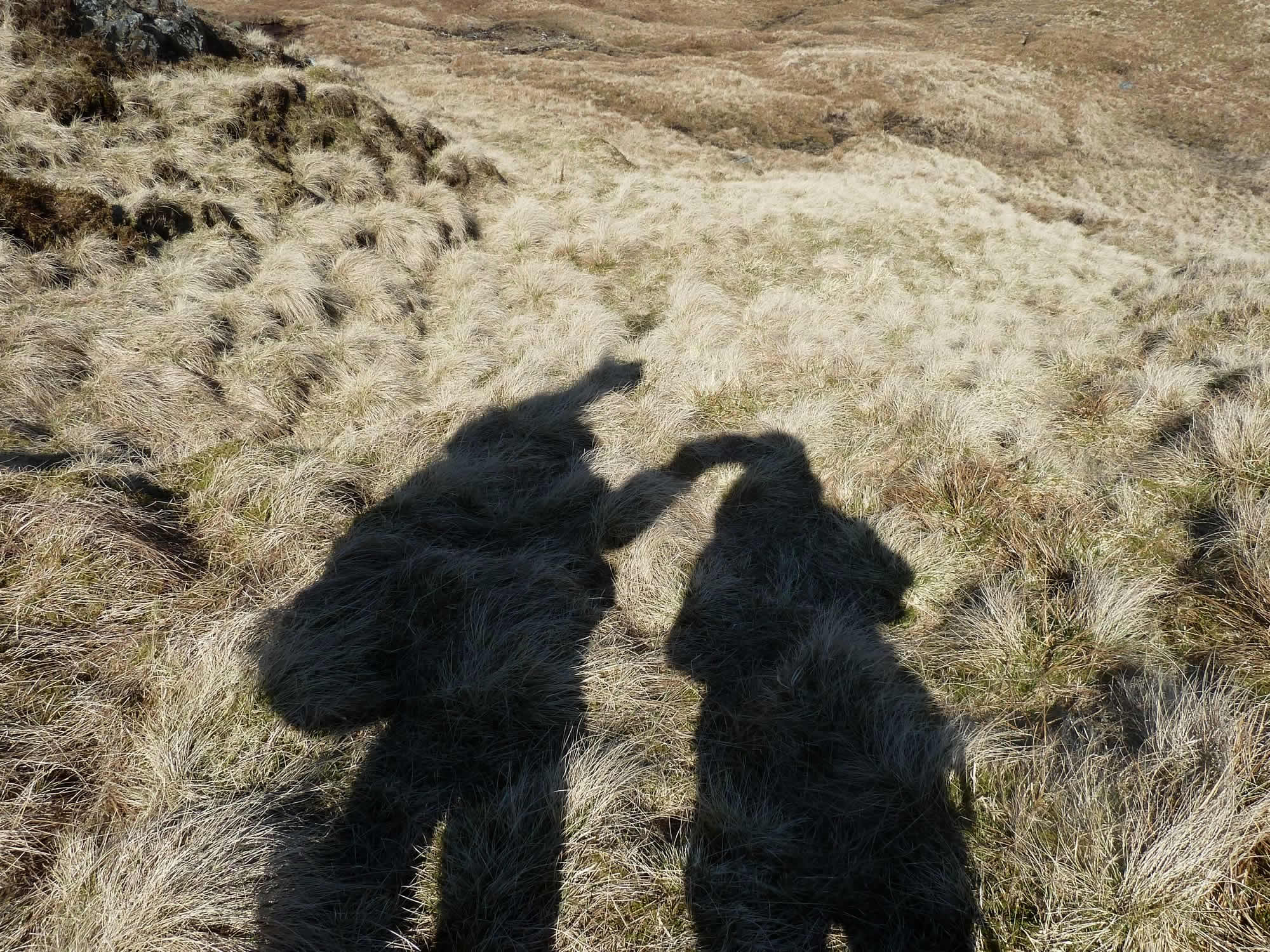
Here I took a picture of our shadows and this is what my camera saw.
Simon seems to be carrying a pregnant sheep and I appear to be riding a camel. And don’t ask me what that thing is, sticking out above Simon’s head. The sheep’s foot?
14.16 – Two weirdos let loose
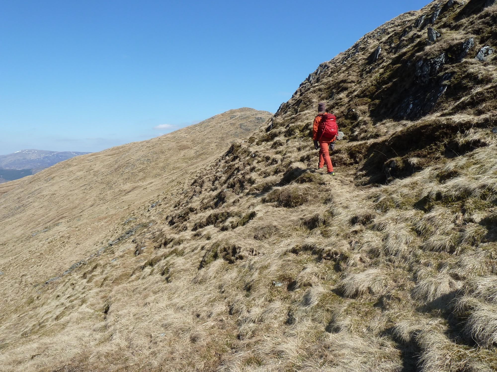
As a sort of shortcut to Beinn Dearg, Simon decided to walk along the path on the slope.
I always dread it when he talks about shortcuts. We end up in the narrowest of paths balanced on one foot at a time. Fortunately this time it was only a short stretch.
14.24 – Simon on the foot-wide path
The cloud should have moved in by now, according to the forecast. But, instead, we had a gloriously sunny afternoon, and the little wind we’d had was gone.
14.41 – Looking southwest at pointy Ben Vorlich
What I missed was the grouse. I love hearing the grouse calling. It reminds me of our wild camping trips. But here there is no heather for them to nest in, only grass.
Reaching the summit of Beinn Dearg
Finally we reached the summit, or at least one of them. You see, the summit of Beinn Dearg is a moving target. The cairn is on a top different from the one marked on the map, and there’s a third top that seems higher than the other two.
Unsure of which of the three was the true summit, we walked along the ridge and got to the three of them. Just in case.
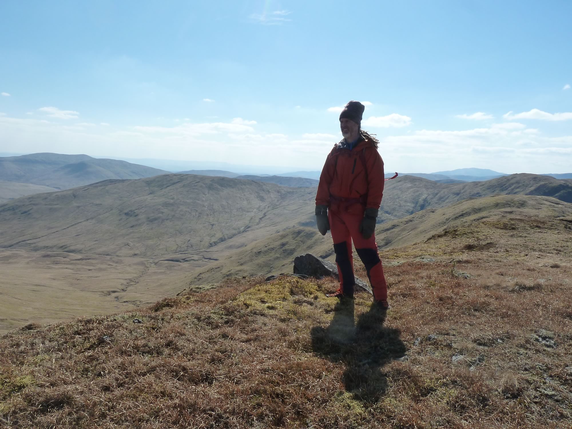
14.46 – Simon on Beinn Dearg
Simon says I look like Abraham Lincoln in this hat. Maybe one day I’ll have the courage to face the camera and show you.
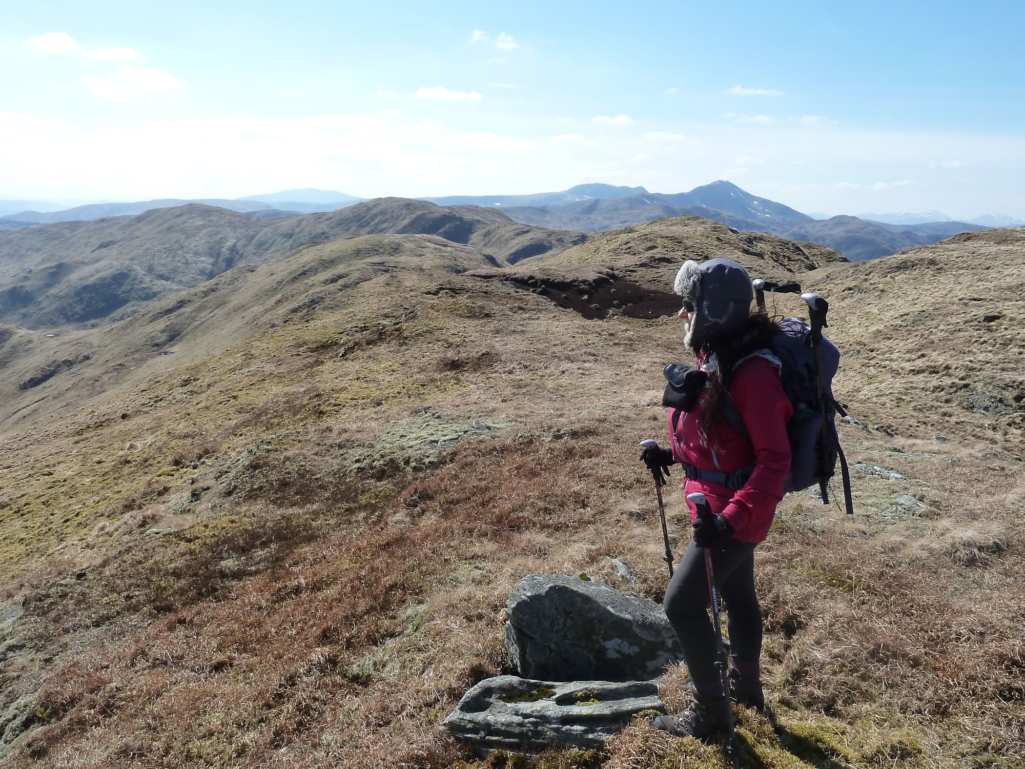
It is a curious sight, I have to confess. Me, I mean. I’m carrying my poles and Simon’s; I have a pair of big gloves stuck in my front pocket, making me look like a balloon; and, on top of that, I have the camera case hanging from a strap. I really should reconsider my outfit.
14.48 – Maria on Beinn Dearg *
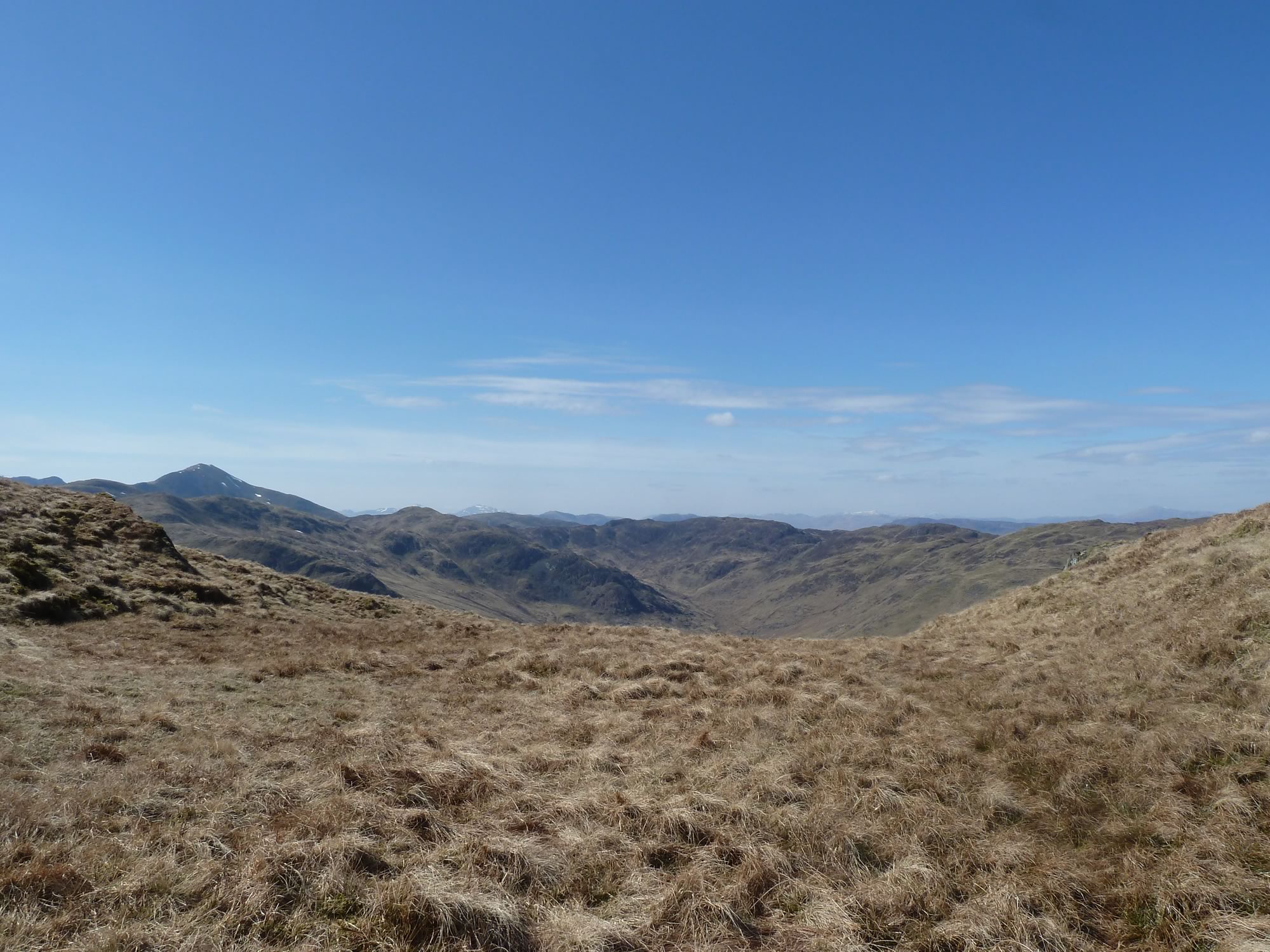
From the so-called summit, Simon took this panoramic photo of our ridge and the hills beyond.
14.50 – Panoramic view from Beinn Dearg *
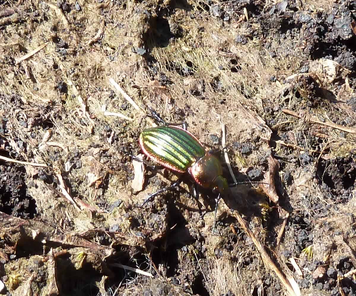
We were having a short break and, like I always do, I was looking around for reptiles, amphibians or anyone else that might want to feature in one of my photos.
Suddenly, I spotted this cute guy.
15.19 – A Ground Beetle (Agonum sexpunctatum)
A bit more about the Scottish hills
Here’s an interesting fact:
Glen Artney, this part of the world, is on the Highland fault boundary. North of the boundary are the Highlands, and south of it the Lowlands.
There are Grahams in both the Highlands and Lowlands. Grahams, as we saw, are Scottish mountains of between 2,000 and 2,500 feet (609.6 to 762.0 m). But only the Lowlands have Donalds. Donalds are between 2000 and 2999 feet (610 and 914 m). So some Donalds are also Grahams!
Beinn Dearg (706 m), our hill, is in the Highlands, so it’s only a Graham. But several of the hills you see from the ridge we walked on are both.
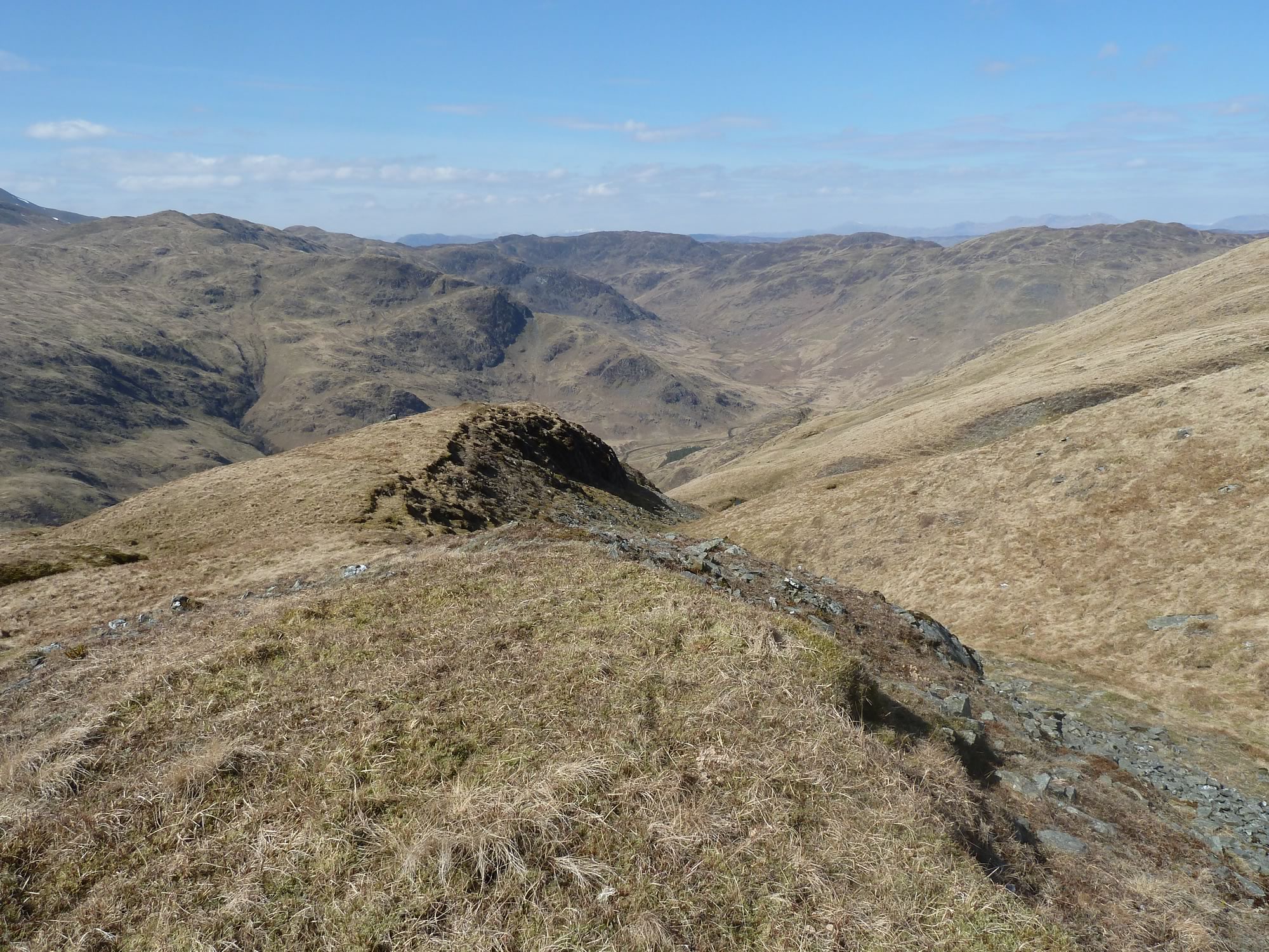
From here we went down the gentle slope.
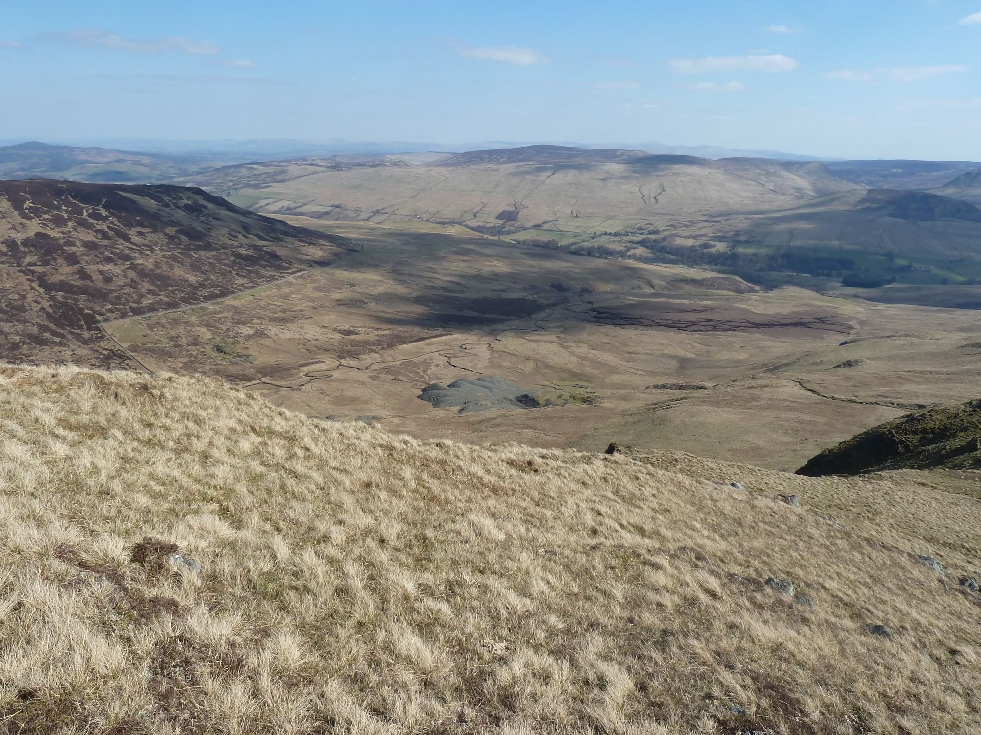
15.30 – A disused quarry (centre)
We walked back to the van in this immense landscape, without a care in the world.
On days like this I feel as if life could last forever.
16.13 – The awesome walk back
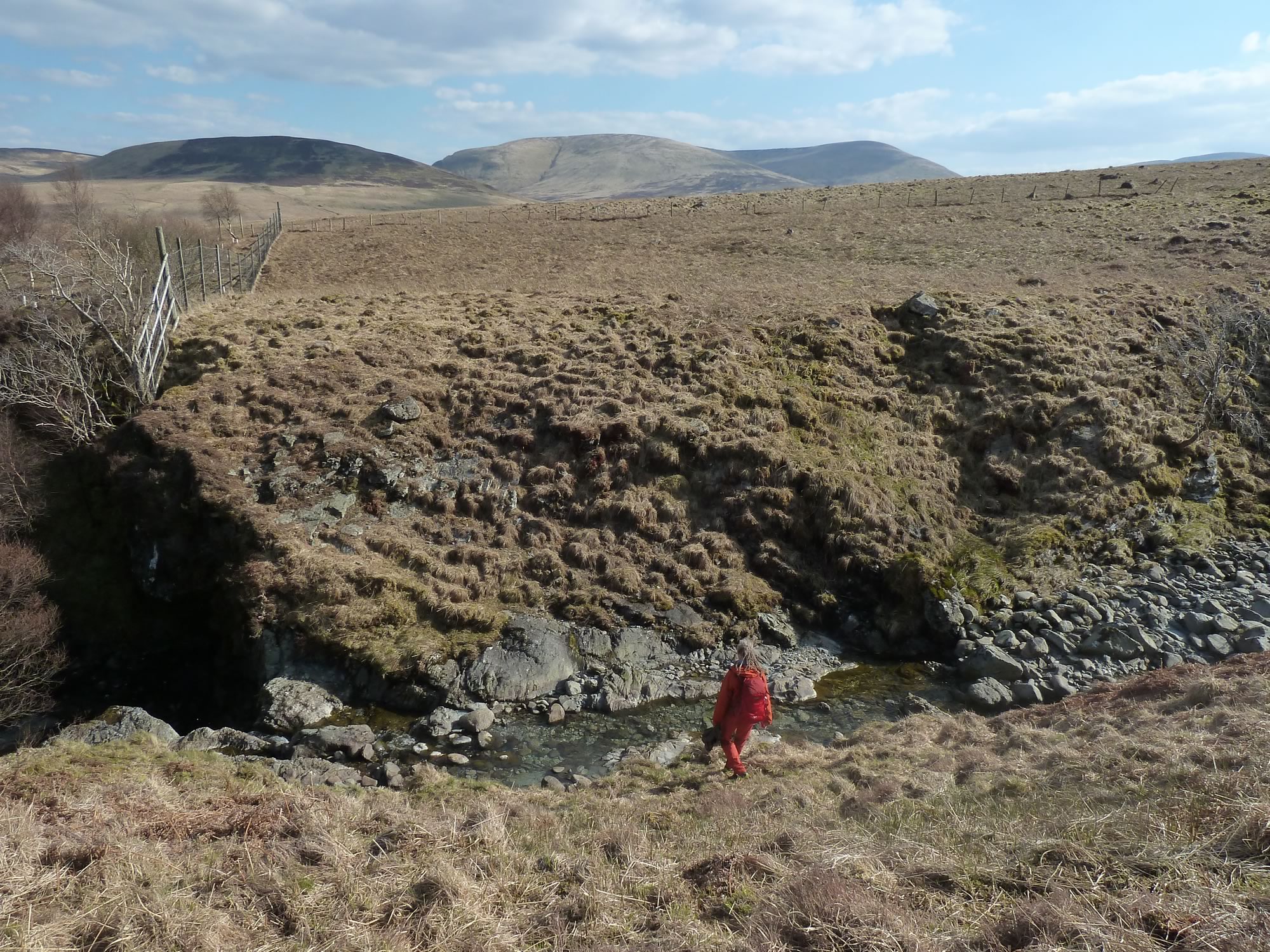
This was our last ford.
16.20 – Descending to the ford
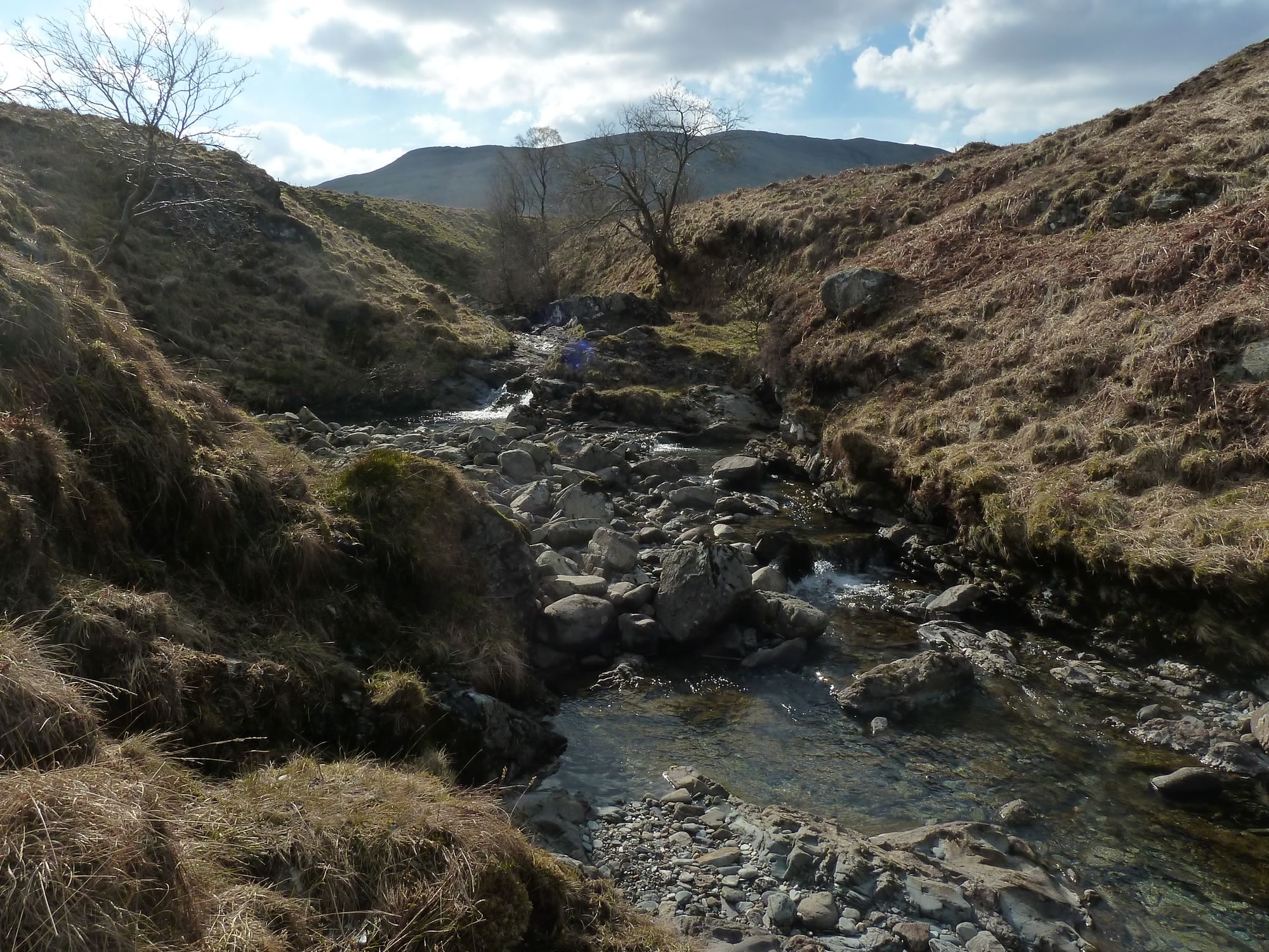
Because of the dry spell it was easy to cross. On the other side, there was a beautiful pool with a teeny waterfall, but the photo didn’t come out well.
16.24 – A beautiful allt (stream) with no name on the map
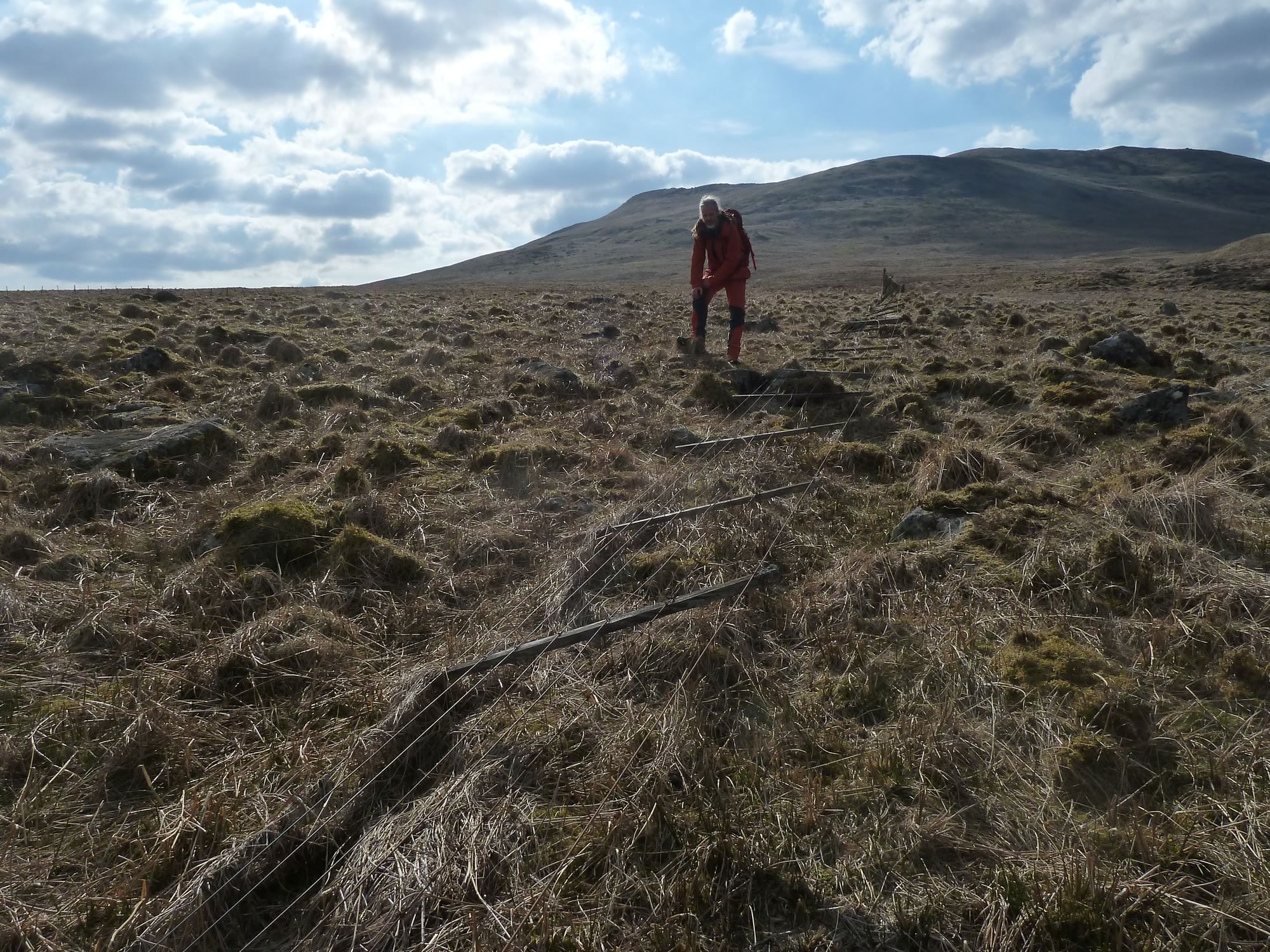
We were wondering how we were going to climb the deer fence when we suddenly saw this.
16.29 – Celebrating the fallen fence
A few months ago we had to walk a mile to jump a fence, but this time luck was on our side. The rickety fence had fallen and all we had to do was walk over it.
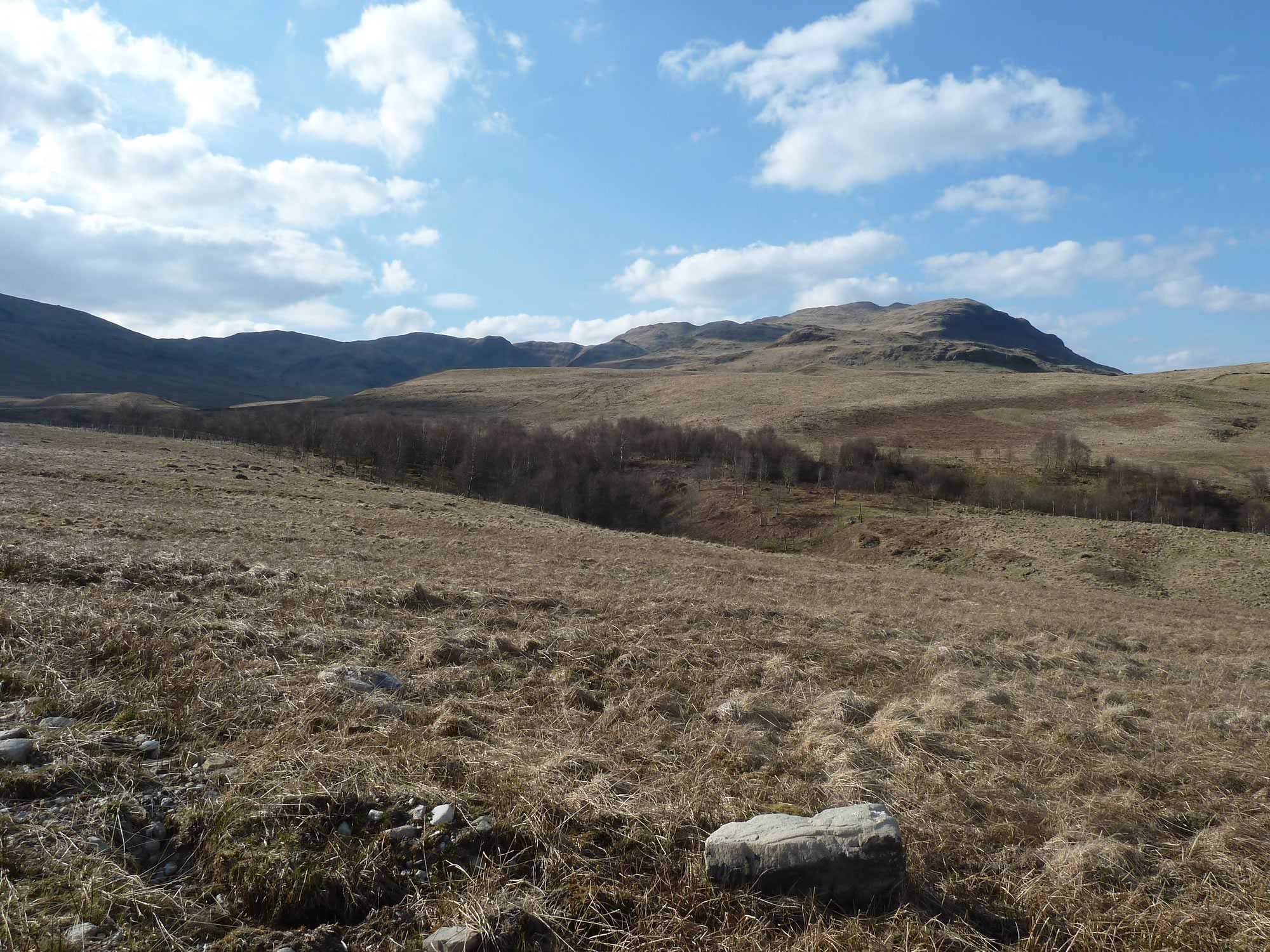
16.40 – Looking back at our trek
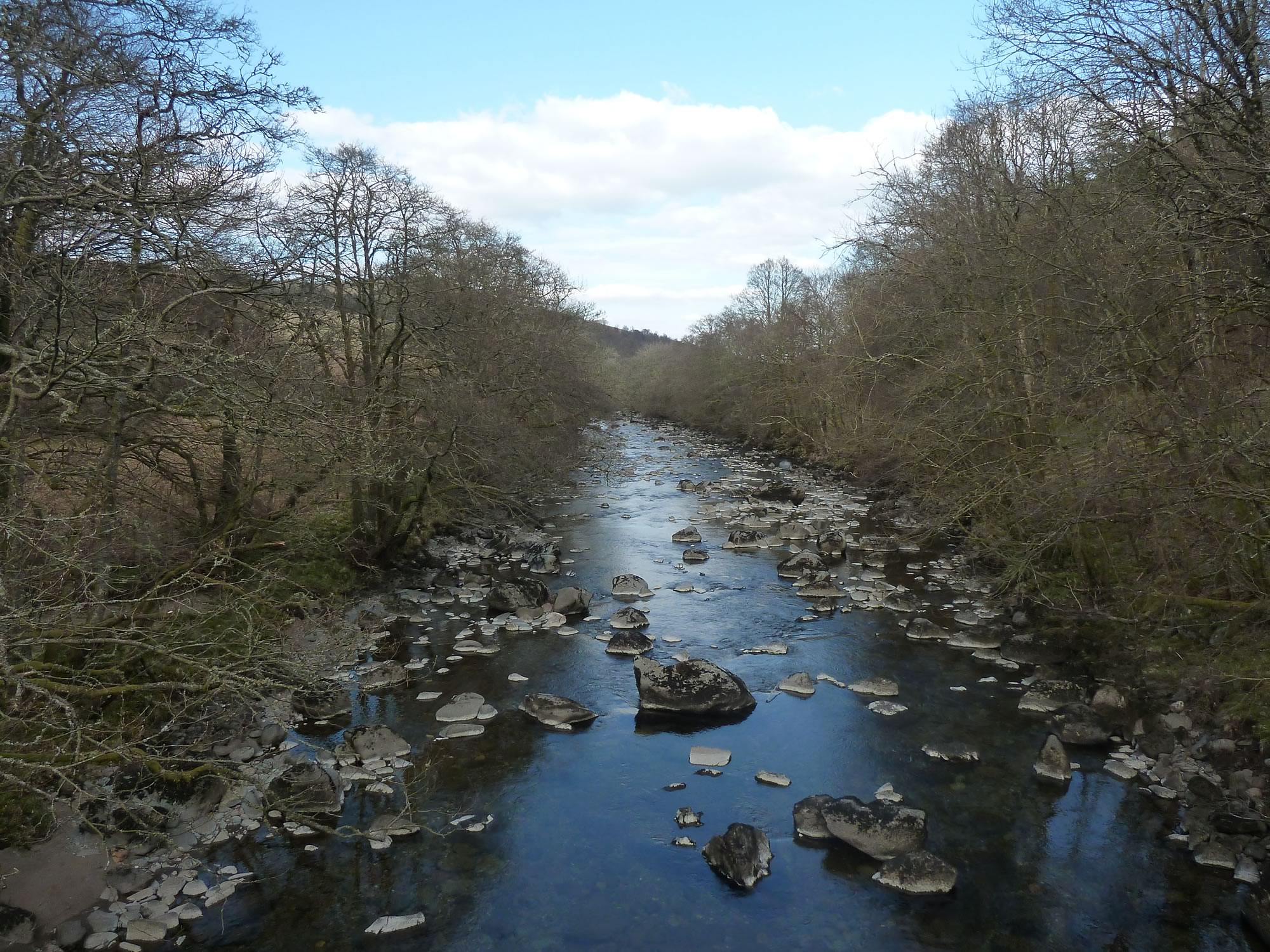
The Water of Ruchill, the largest river around here, was quite empty. It looked slightly surreal.
17.01 – A peaceful Water of Ruchill
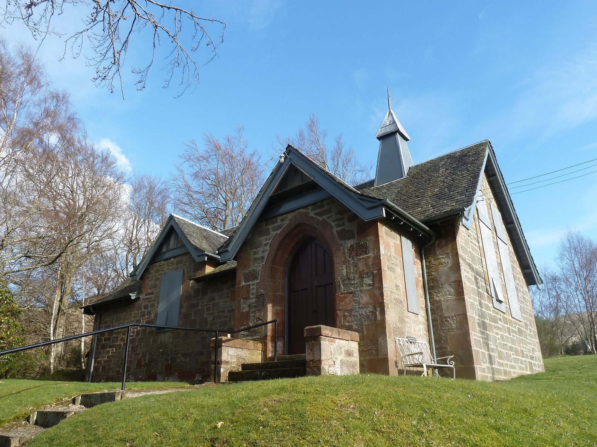
Before heading back home, we visited the Glenartney Church. It was boarded up, hopefully only because of the pandemic.
17.28 – The Glenartney Church
All in all we walked exactly 17 Km, according to our GPS. I wasn’t nearly as tired as I had imagined I’d be after months without going uphill.
What a wonderful day it was.
I took all the photos with the Panasonic.
* Simon took this photo.
