Cycling in Northumberland, England. Day 1 – Sunday, 7 July: map & data
Total climbing: 574 m
Total time: 07:43:56
55 mile cycle, 7h45 from 10.00 to 17.45 – average 7.2 mph
We left the coastal village of Craster (Northumberland, England) four days after we arrived there by bike.
Cycling in Northumberland, England: Leaving Craster
The B&B we were heading for was only a few miles away from the one we’d stayed in five days before, but Simon chose a different route.
10.08 – Simon heading towards Embleton
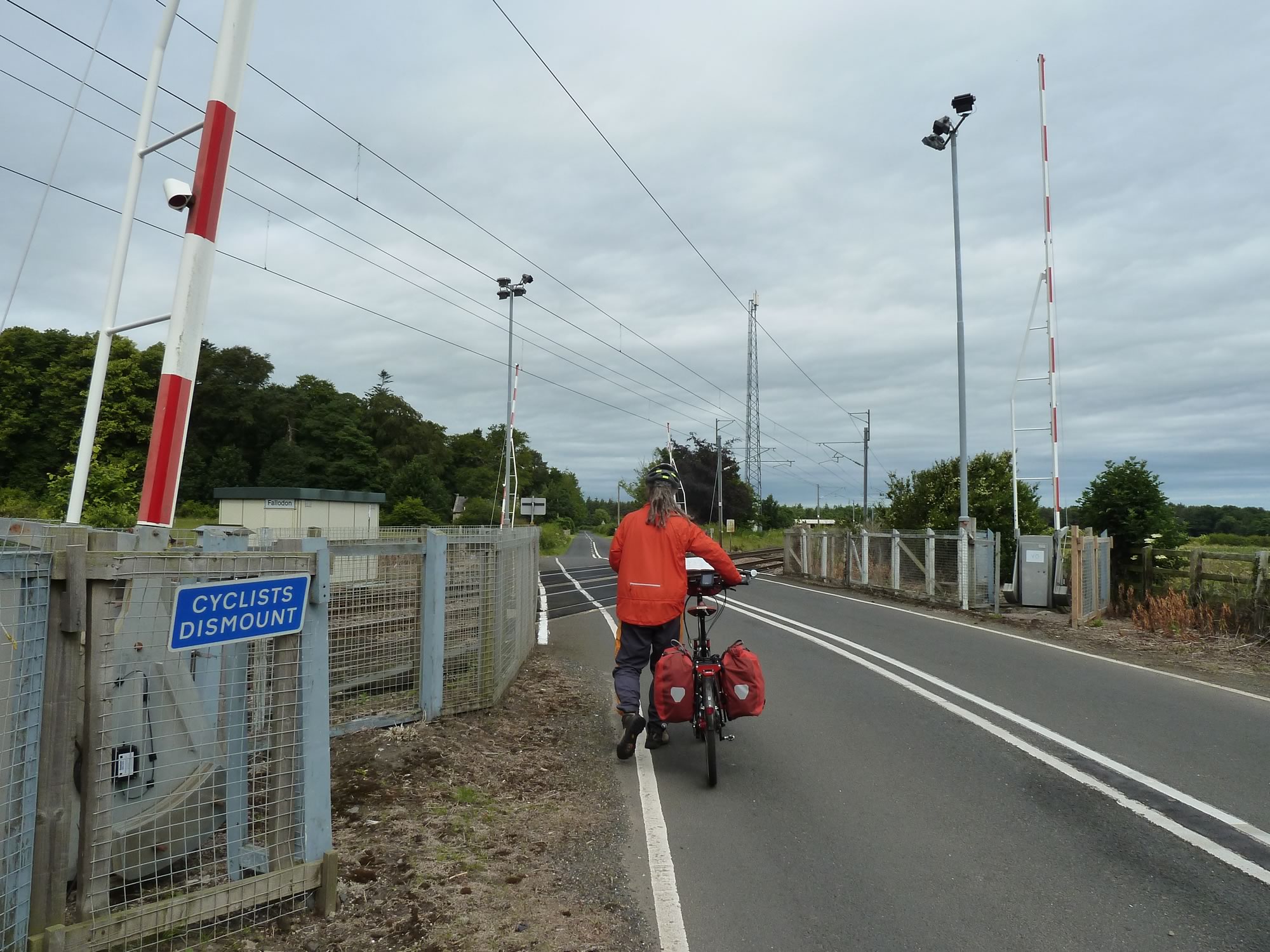
Like on the trip down, there were quite a few level crossings.
Here we obediently dismounted and crossed on foot, partly because of the sign that said so, and mostly because of the oblique tracks.
10.32 – Level crossing at Fallodon
The country lanes were deserted, and the temperature was perfect. It was like cycling in a corner of paradise.
This was going to be the longest of our four cycling days on this trip, and we were to get some magnificent views.
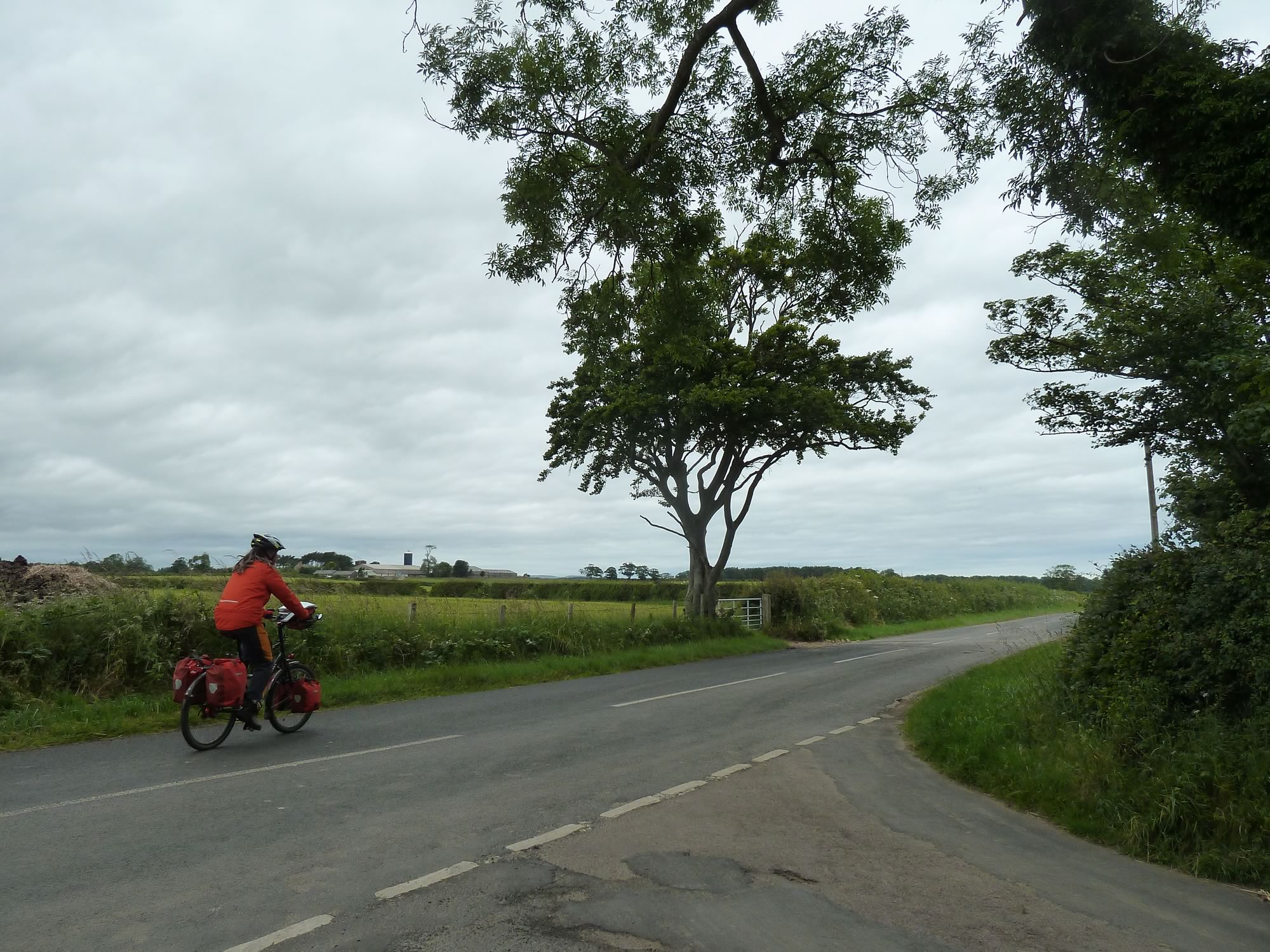
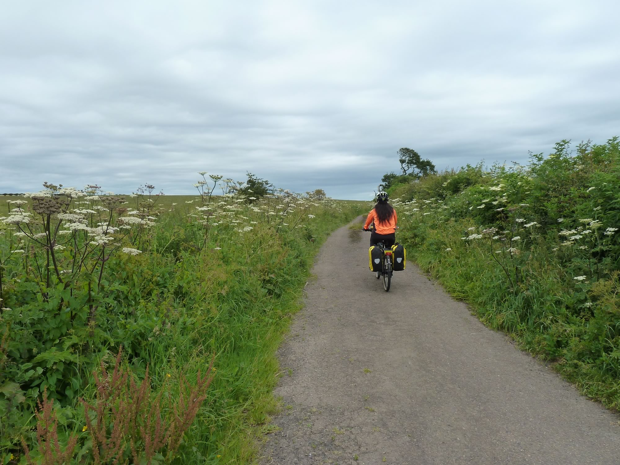
11.15 – Maria riding without a care in the world *
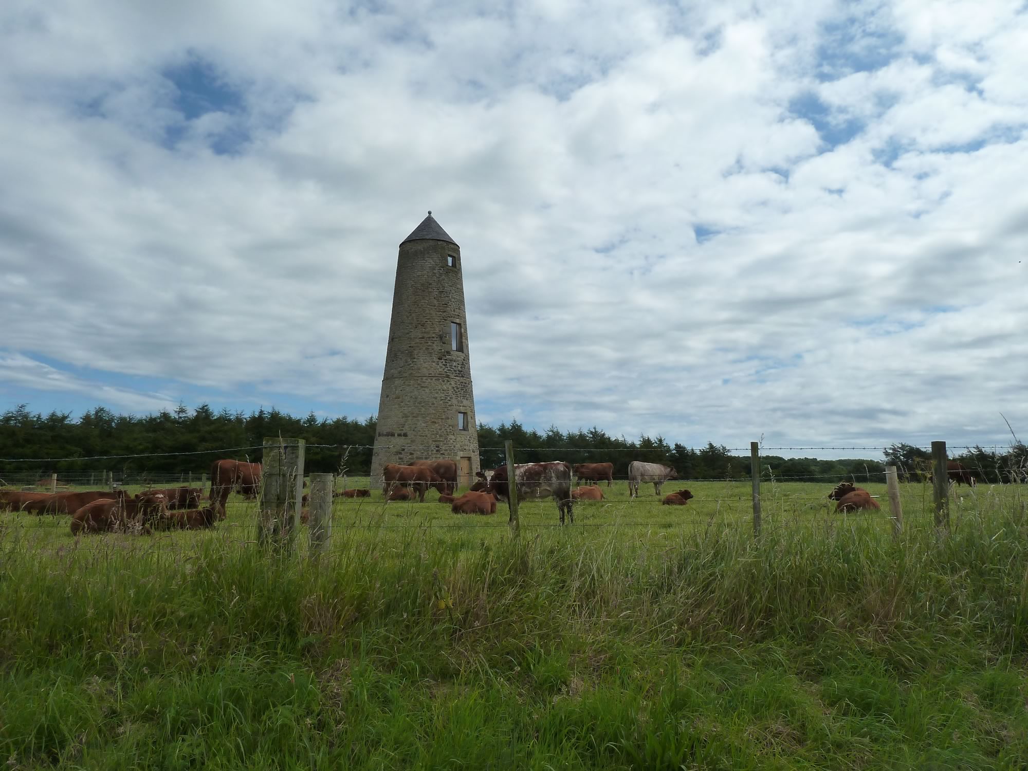
Soon we were back at a familiar place: the Outchester Ducket.
The sign at the entrance indicates that it no longer serves its historic purpose, instead:
“With the approval of English Heritage and having received planning permission in 2007. It has been made into a self-catering holiday home with bathroom, bedroom, kitchen, sitting room, and viewing gallery at the top.”
I suspect the views are better than the punctuation.
12.29 – Back at the Outchester Ducket
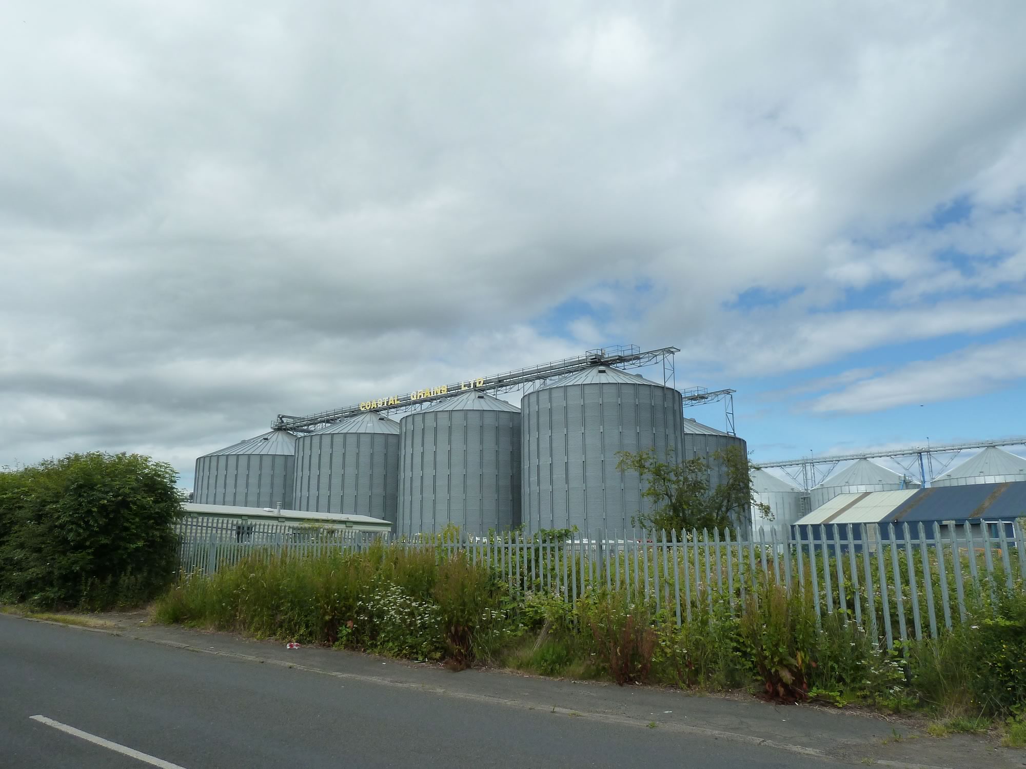
Because of our new oats diet, we felt compelled to admire this otherwise uninspiring site.
12.40 – Admiring the Coastal Grains Ltd plant
About the Holy Island of Lindisfarne (Northumberland, England)
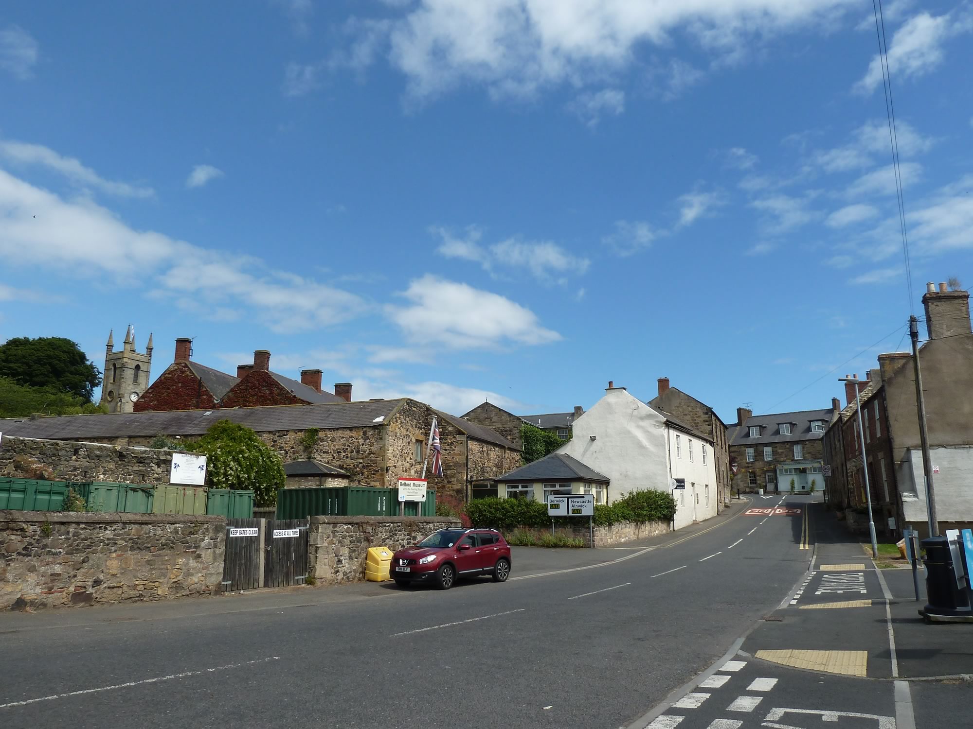
Like on the trip down, we stopped in Belford and Simon went into the Co-op to buy some goodies for lunch and dinner.
13.06 – Back in Belford
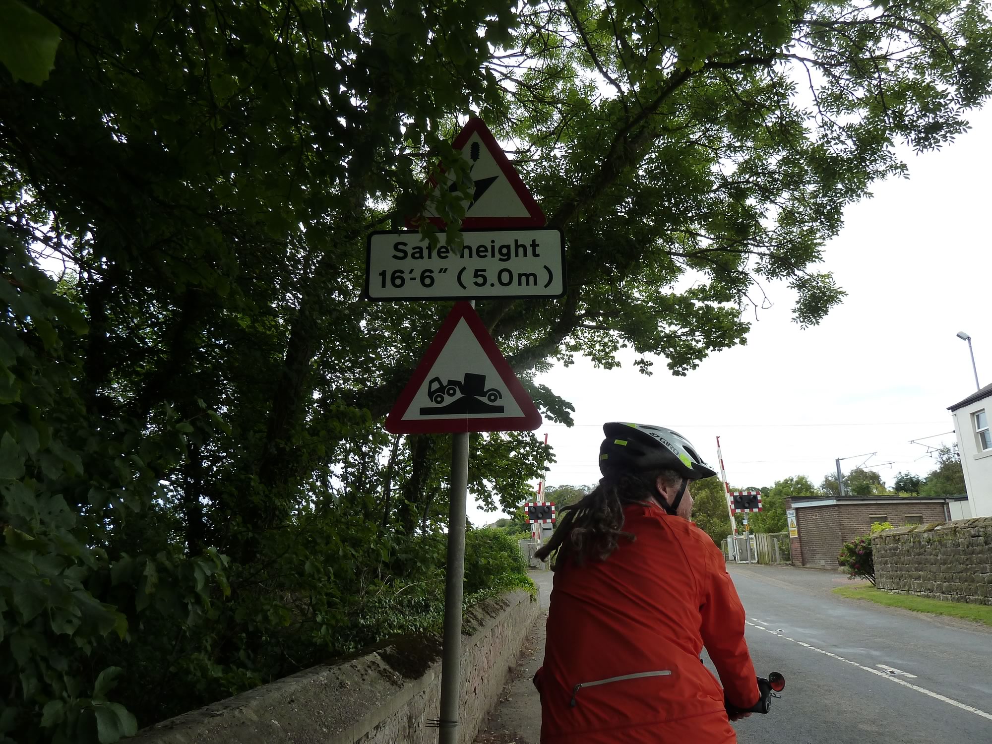
Our next destination was the Holy Island of Lindisfarne. But first we came across this super awesome road sign.
14.59 – Simon & a superb road sign
Holy Island, a tidal island off the northeast coast of England, first appeared in records in the 6th century. It’s linked to the Christian saints: Aidan, Cuthbert, Eadfrith and Eadberht.
We’re familiar with Saint Cuthbert because of our walks on the Saint Cuthbert’s Way.
In 793 Lindisfarne was raided by the Vikings, and in 1550 a small castle was built on the island.
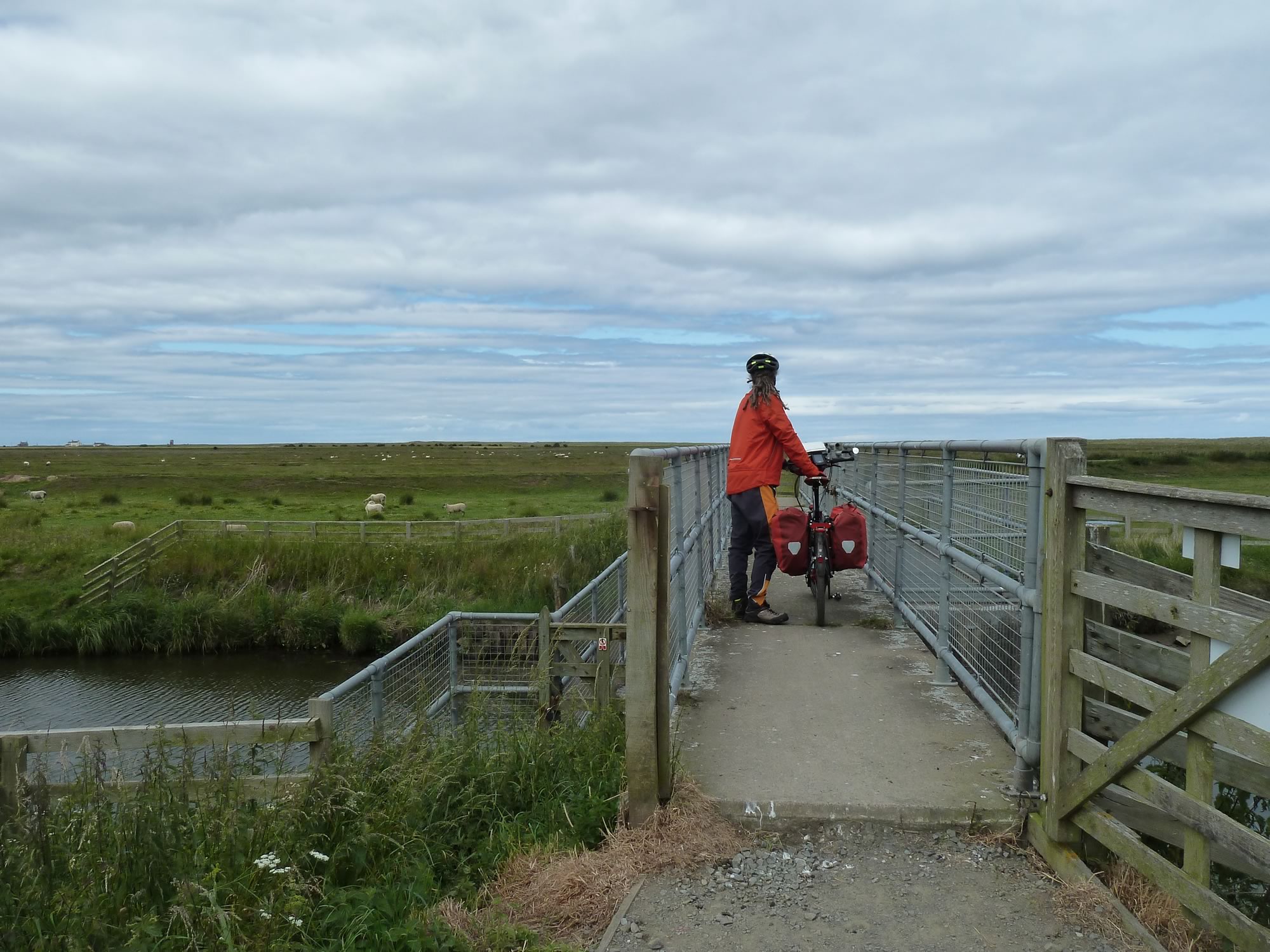
15.13 – Simon crossing the bridge to Holy Island
From east to west Holy Island measures 3 mi (4.8 km), and from north to south 1.5 mi (2.4 km). That’s a formidable 400 hectares at high tide.
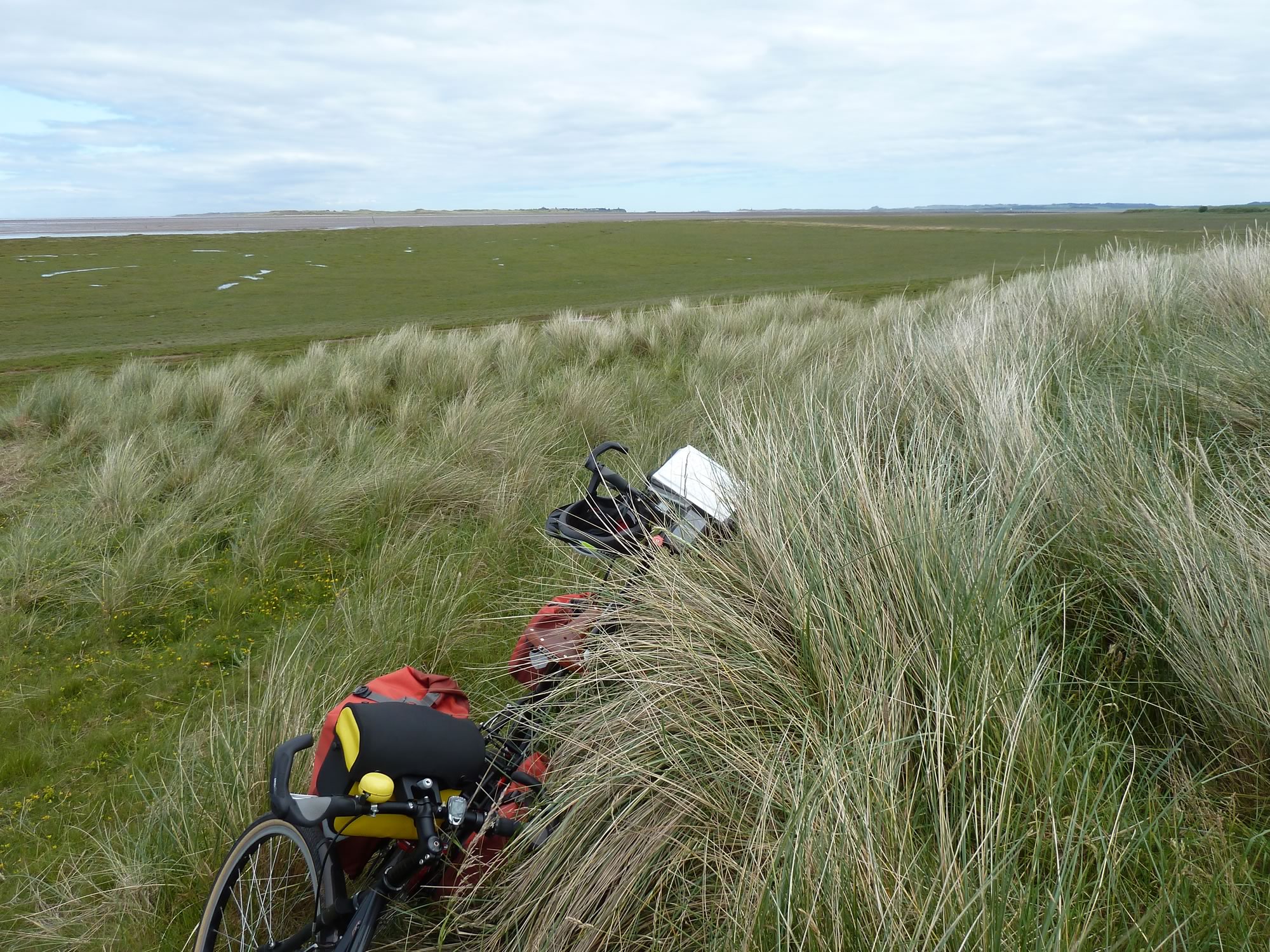
When you look at it from our lunch spot, it’s an awe-inspiring place. We could see several miles into the endless sandy beach. Unfortunately my camera lens doesn’t do it any justice.
15.27 – View of Holy Island in low tide
Flat lands & shadows
This part of the world is quite a bit flatter than most places we ever go to, with the exception of the rides we did last year on the French coast.
In less than twenty-four hours, though, the Earth was going to get a lot less flat.
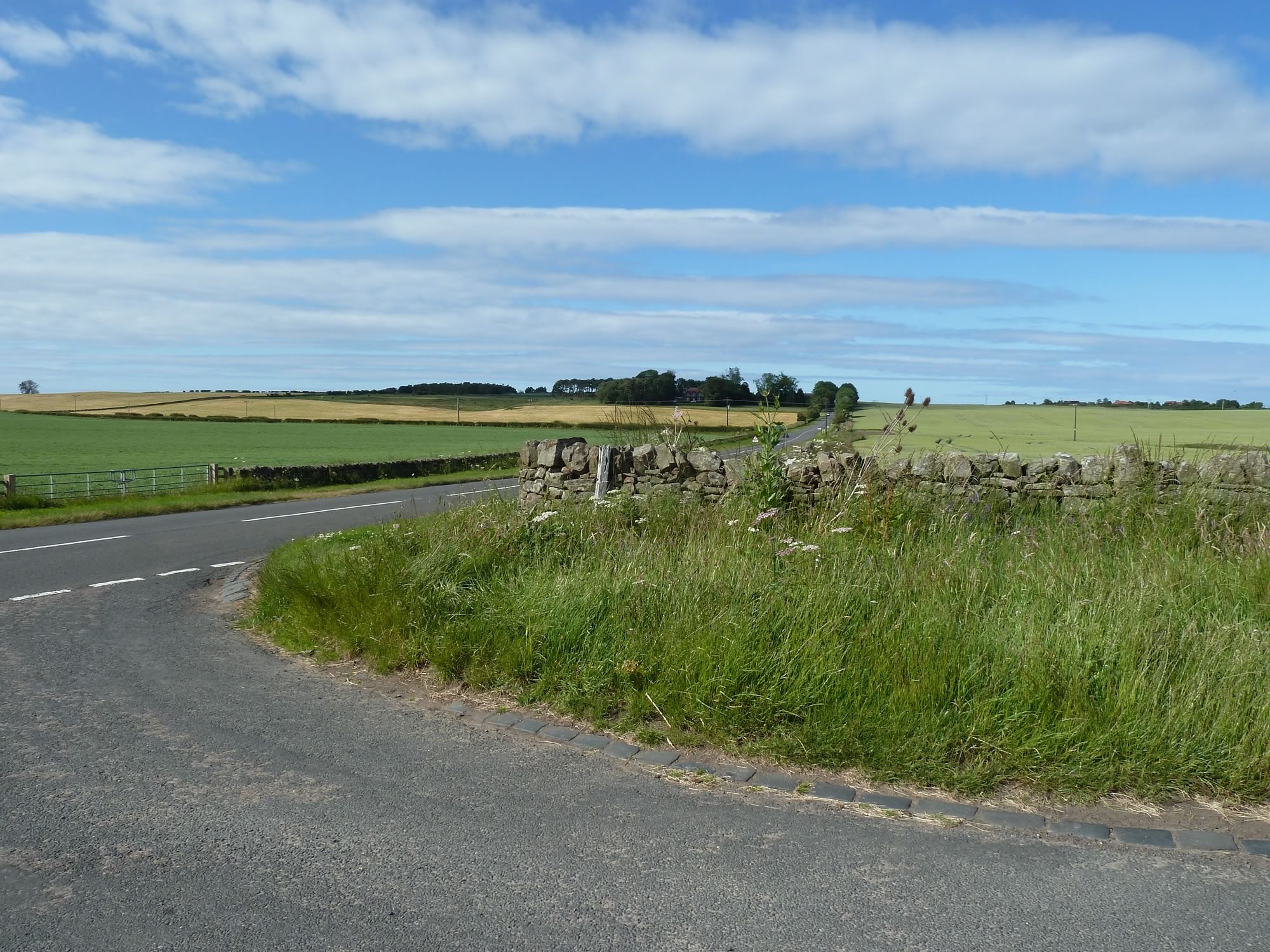
17.12 – View of the wonderfully named ‘Unthank Moor’
Apart from road signs, tractors, bridges, churches and sheep, this blog also features a curious amount of pictures with my shadow.
Some shadows make you look wonderfully slim and elegant, the way you see yourself in your dreams.
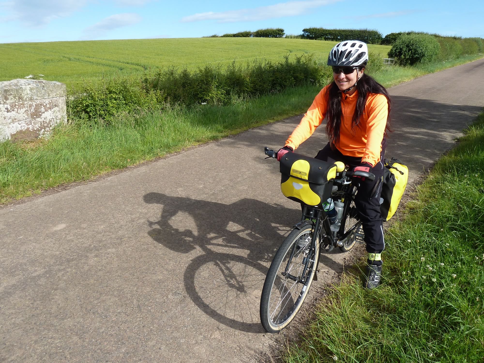
Others transform you into a hideous Lilliputian, like this one.
17.35 – Maria & her mysteriously dwarfed shadow *
About an hour later we arrived at our B&B.
It was an awesome place, a refurbished old church with rooms on the ground floor and a large stair leading to the breakfast area upstairs, all in open plan.
We had dinner in our room and went out for a walk to enjoy the glorious evening.
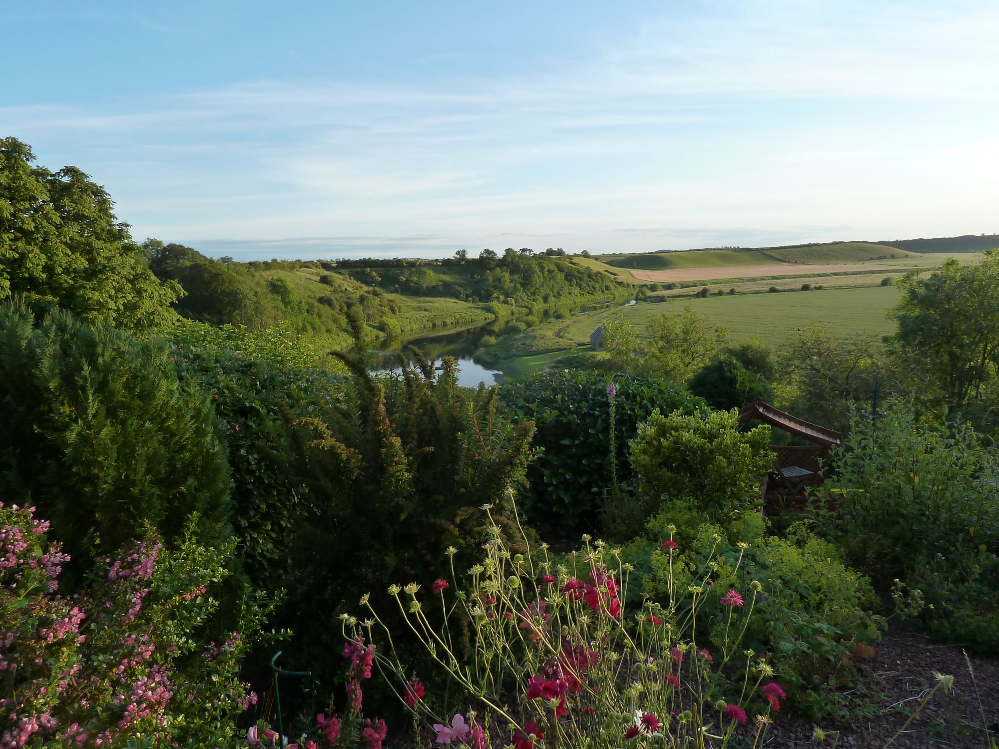
20.31 – View of Scotland from England
Here the river Tweed is the border between England and Scotland.
We stood on the hill by the river, looking at both our beloved lands, hoping we’ll never lose one of them.
Day 2 – Monday, 8 July: map & data
Total climbing: 973 m
Total time: 09:31:56
49 mile cycle, 9h30 from 09.15 to 18.45 – average 5.2 mph
Today was going to be the hilliest of our four cycling days. We had the Lammermuirs to climb.
Back to Scotland
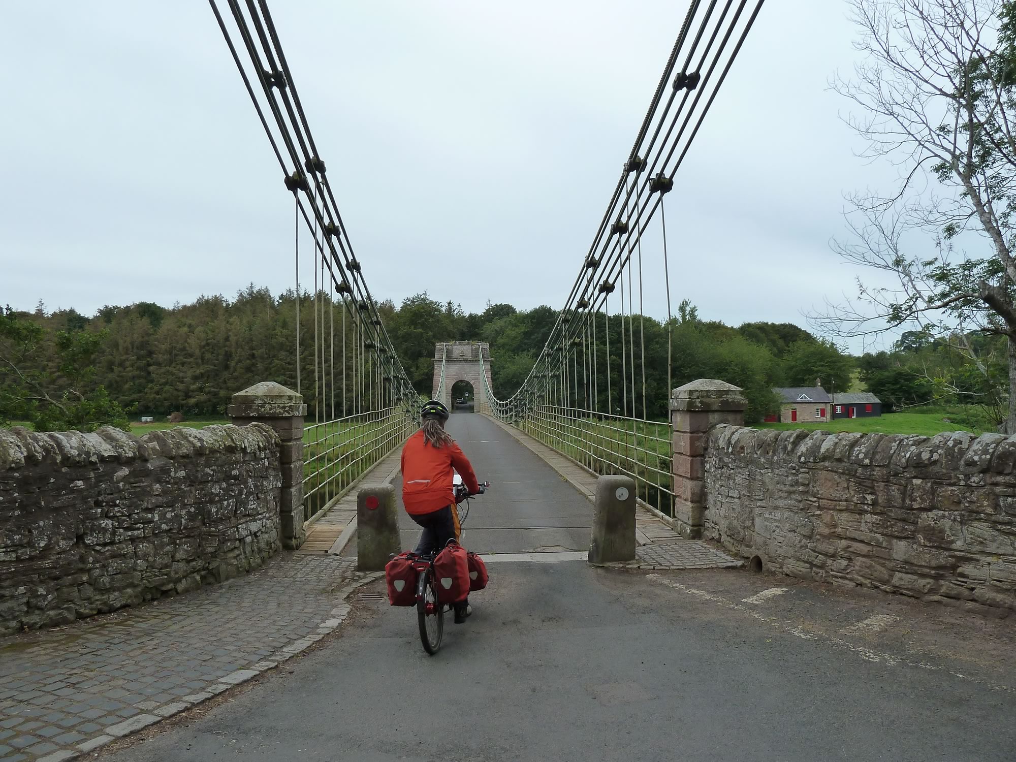
To cross the border between England and Scotland Simon’s route took us to the Union Bridge.
The Union Bridge was designed by Captain Sir Samuel Brown. When it opened in 1820 it was the longest suspension bridge of its kind in the world.
9.20 – Simon crossing the Union Bridge
The Union Bridge takes you from England to Scotland over the river Tweed.
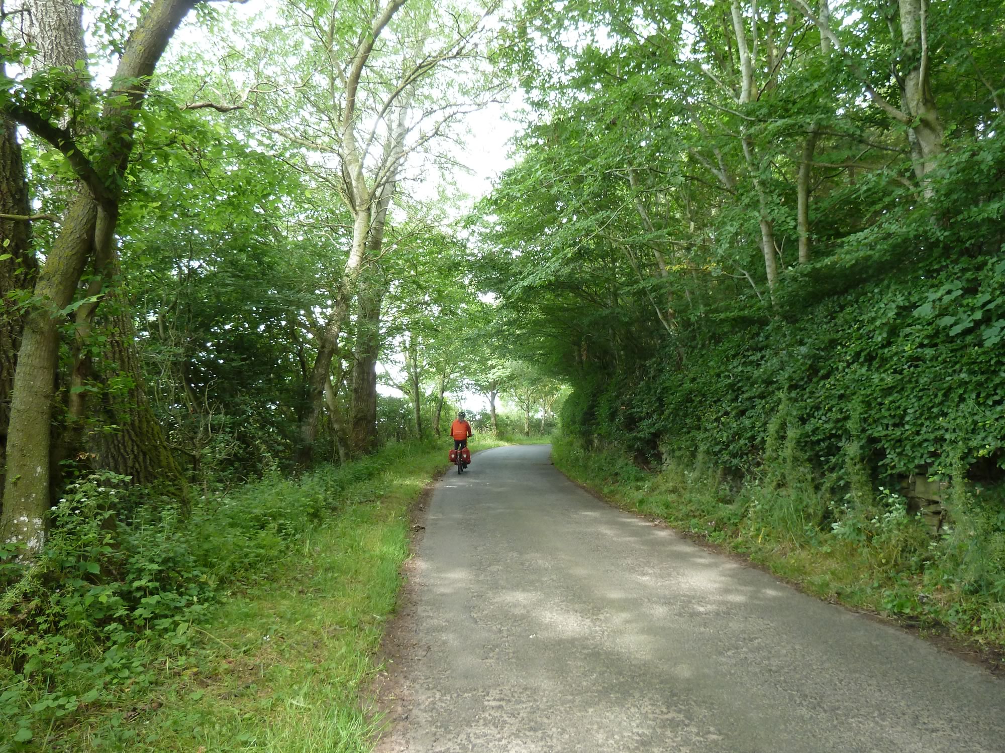
10.05 – Simon cycling towards Duns
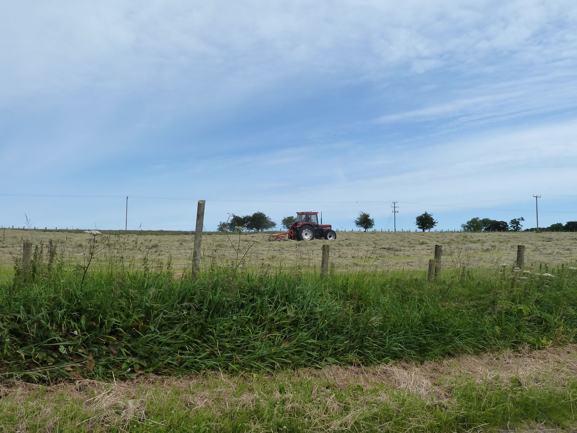
As you may have guessed, I couldn’t resist taking a picture of this terrific toy.
10.15 – A cute tractor in action
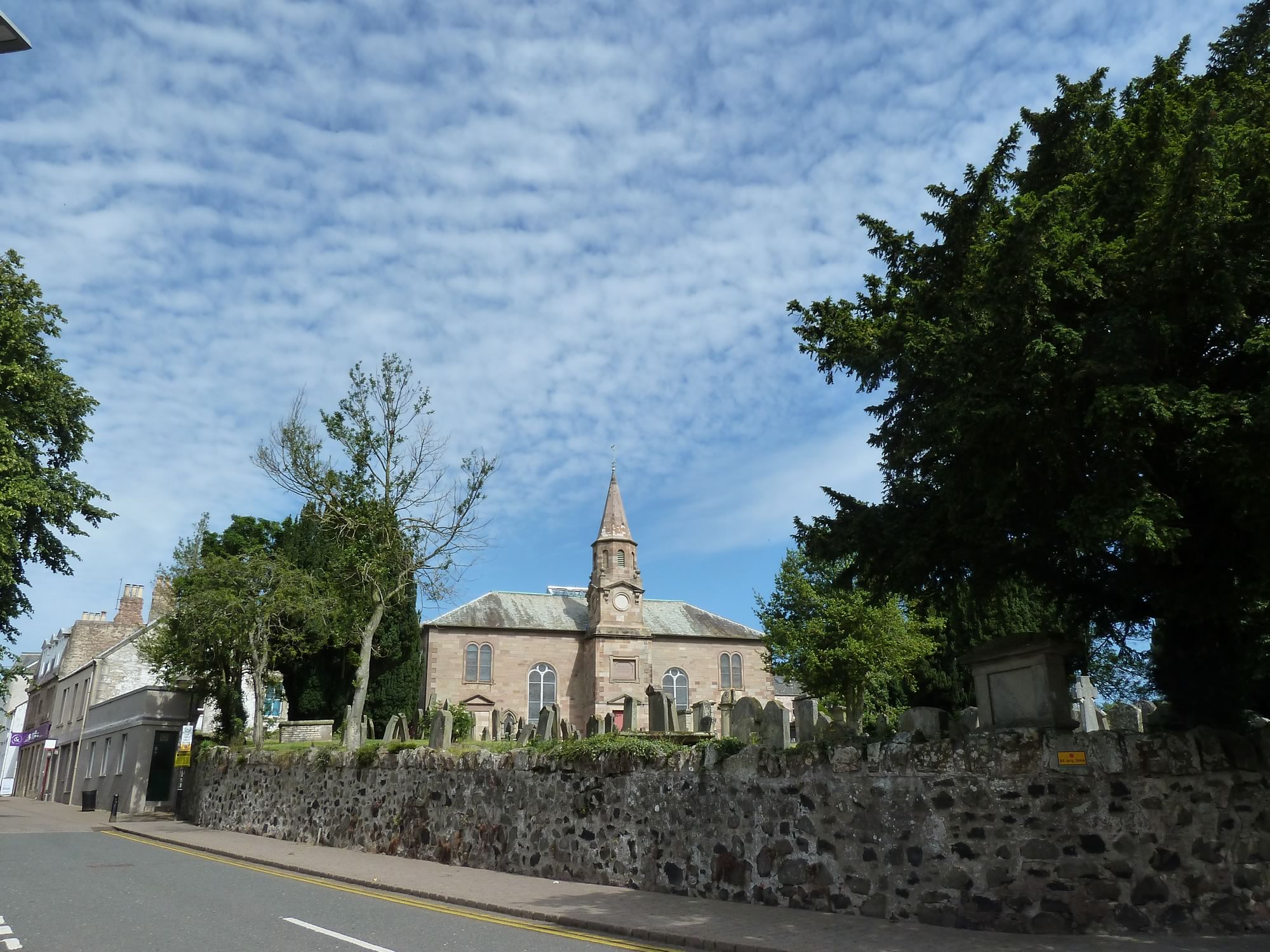
We stopped in the pretty town of Duns (population roughly 2,700).
Simon got a coffee and guarded the bikes while I went to take pictures of the church we’d passed on our way to the main square.
10.50 – Duns Parish Church & cemetery
Soon after Duns you start to climb the Lammermuirs.
A bit about the Lammermuirs
The Lammermiurs are a range of hills between the Scottish Borders and Lothian.
Duns, the town we’d just visited, is the ninth largest in the Scottish Borders. Lothian’s main city is Edinburgh, the capital of Scotland, where we live.
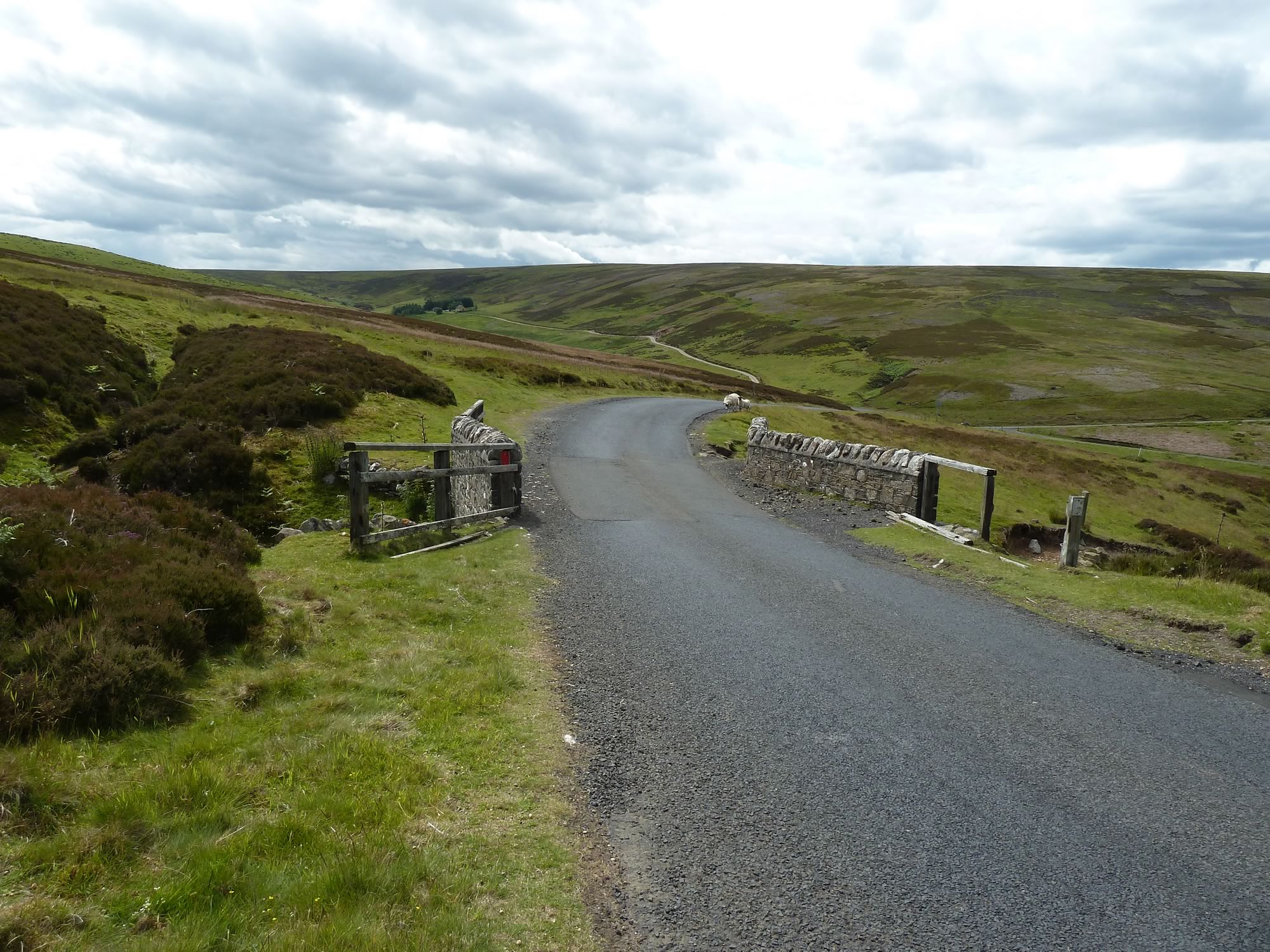
12.15 – The first climb of the Lammermuirs
If you look at the map and graph above, you’ll see that there are three main climbs in the Lammermuirs.
Between the first and second climb we stopped just outside a village called Longformacus. I remember stopping here a few years ago the first time we did this climb, and got curious about its name.
A bit about Longformacus
You’d be forgiven for thinking that Longformacus was named by someone with a fixation with ghastly man-made materials. Instead, historians suggest, it comes from the Scottish Gaelic ‘Longphort Mhacais’, meaning ‘Macas’s camp’.
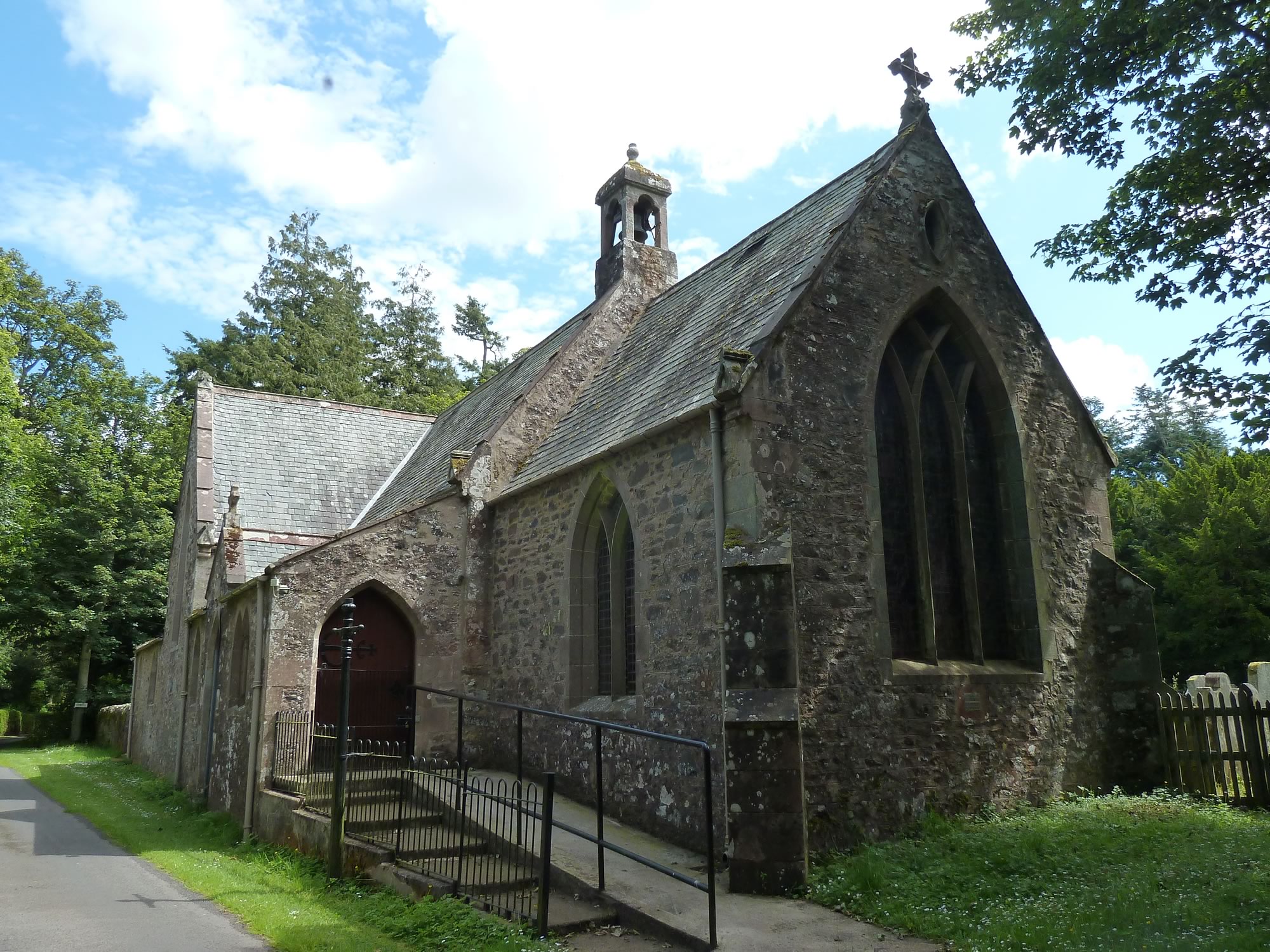
12.51 – Chapel in the Longformacus & Lammermuir Heritage Centre
Looking for a lunch spot we decided to investigate a promising narrow lane.
Out of site from the road, tucked in among the trees, was that handsome chapel. Unfortunately we couldn’t stay there long because of the pesky flies. They were all around us and determined to wreck our lunch.
Defeated, we jumped on our bikes and eventually found a peaceful spot. Soon we were ready for the second climb.
13.37 – The second climb of the Lammermuirs
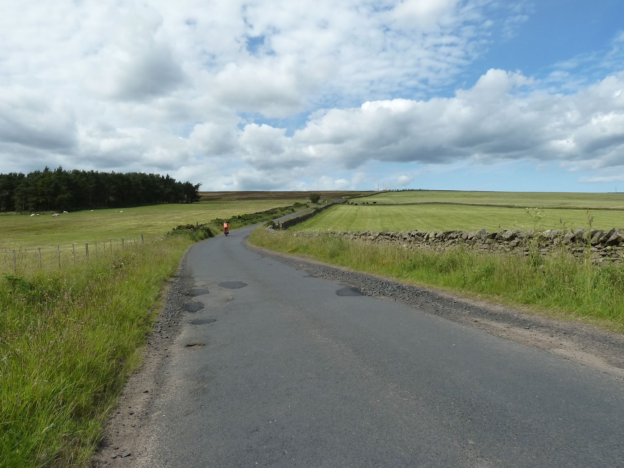
The lammermuirs aren’t high but they’re wide; and they go up and down, up and down, sometimes with steep gradients. Which is why you end up climbing nearly 1,000 m.
14.15 – The descent before the third climb
One of the most enjoyable things about this hilly ride is how very few cars there are on the road. The A1, the main road that links Edinburgh with England, runs near the east coast, miles from our route, so you only get the occasional vehicle.
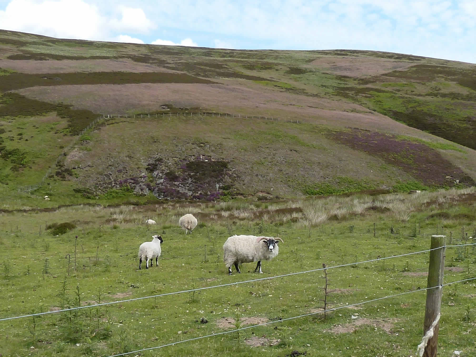
What you get plenty of, though, are sheep, and their now-not-so-teeny lambs.
14.30 – Saying Hello to the sheep
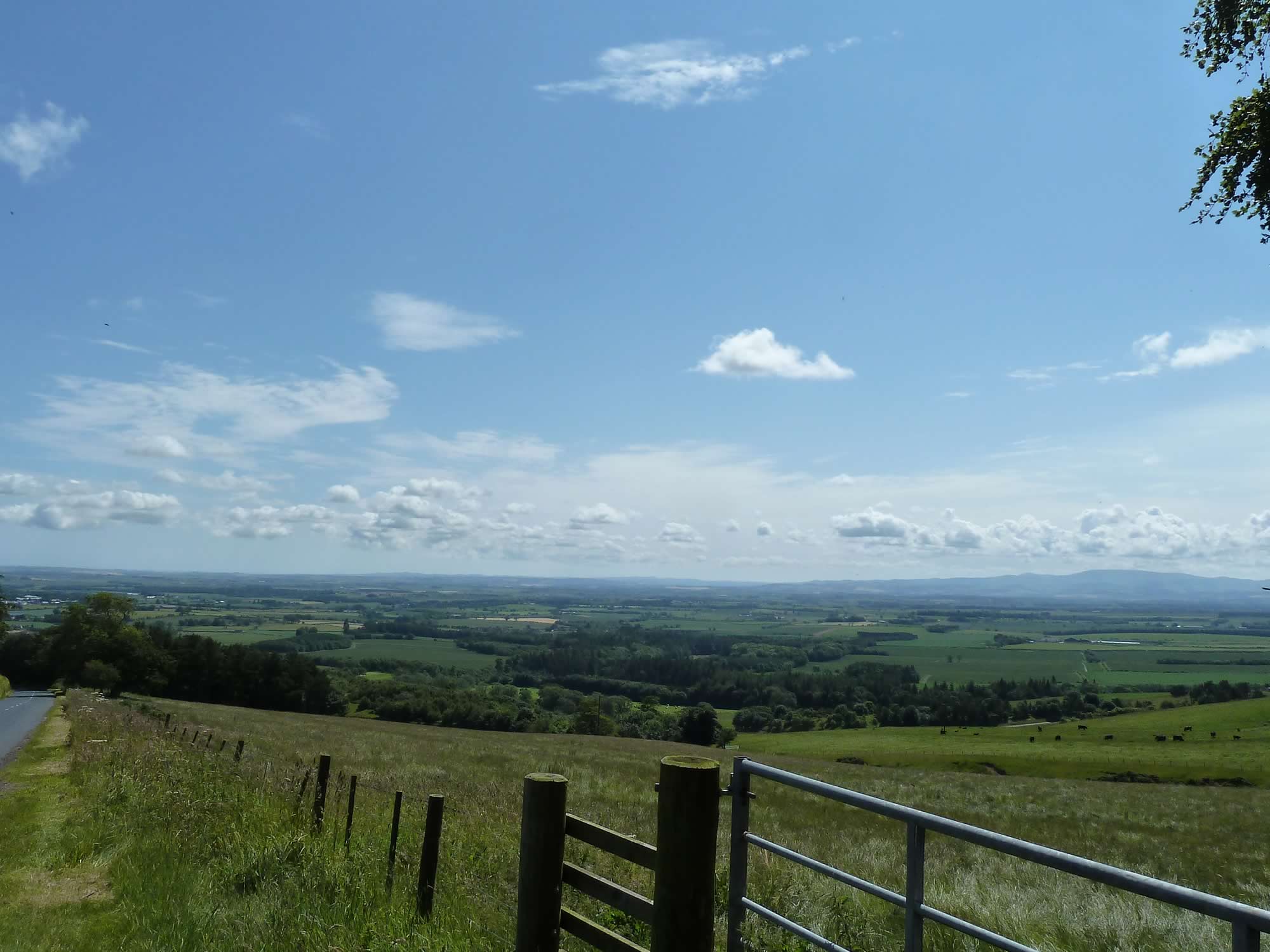
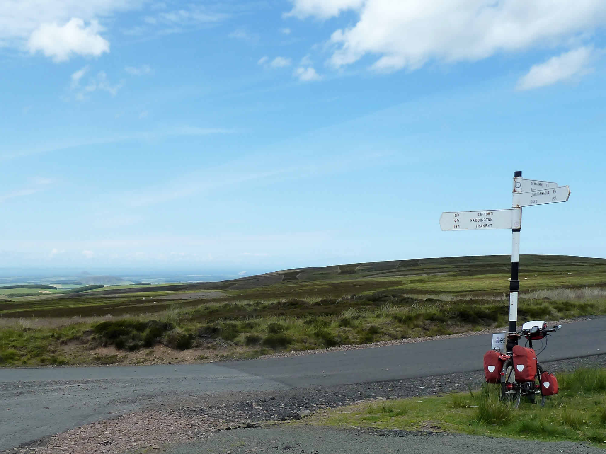
As you get higher the views get better and better.
Spotting some familiar hills
From here you can see the Bass Rock, Traprain Law and North Berwick Law. Last year we climbed the wee but steep Traprain Law and got a glimpse of its wild ponies. The other hill, North Berwick Law, we climbed a couple of years ago and admired its new whale jawbone at the top.
15.11 – At the top of the third climb of the Lammermuirs
From here to the village of Gifford (population 700) it’s all downhill; a swift descent to civilisation.
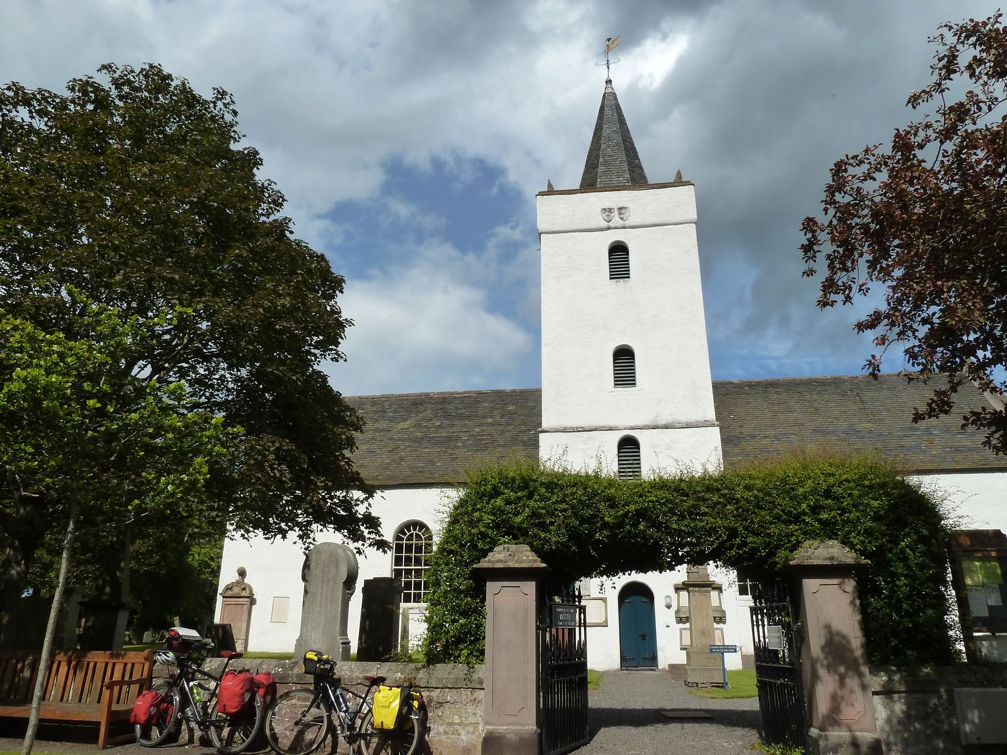
We’d been to Gifford a few weeks before in one of our day rides and, like then, we stopped for a break. I was planning to take a picture of the church only from the outside, when a guy with a big camera suggested that I go inside.
– “It’s well worth a visit”, he said.
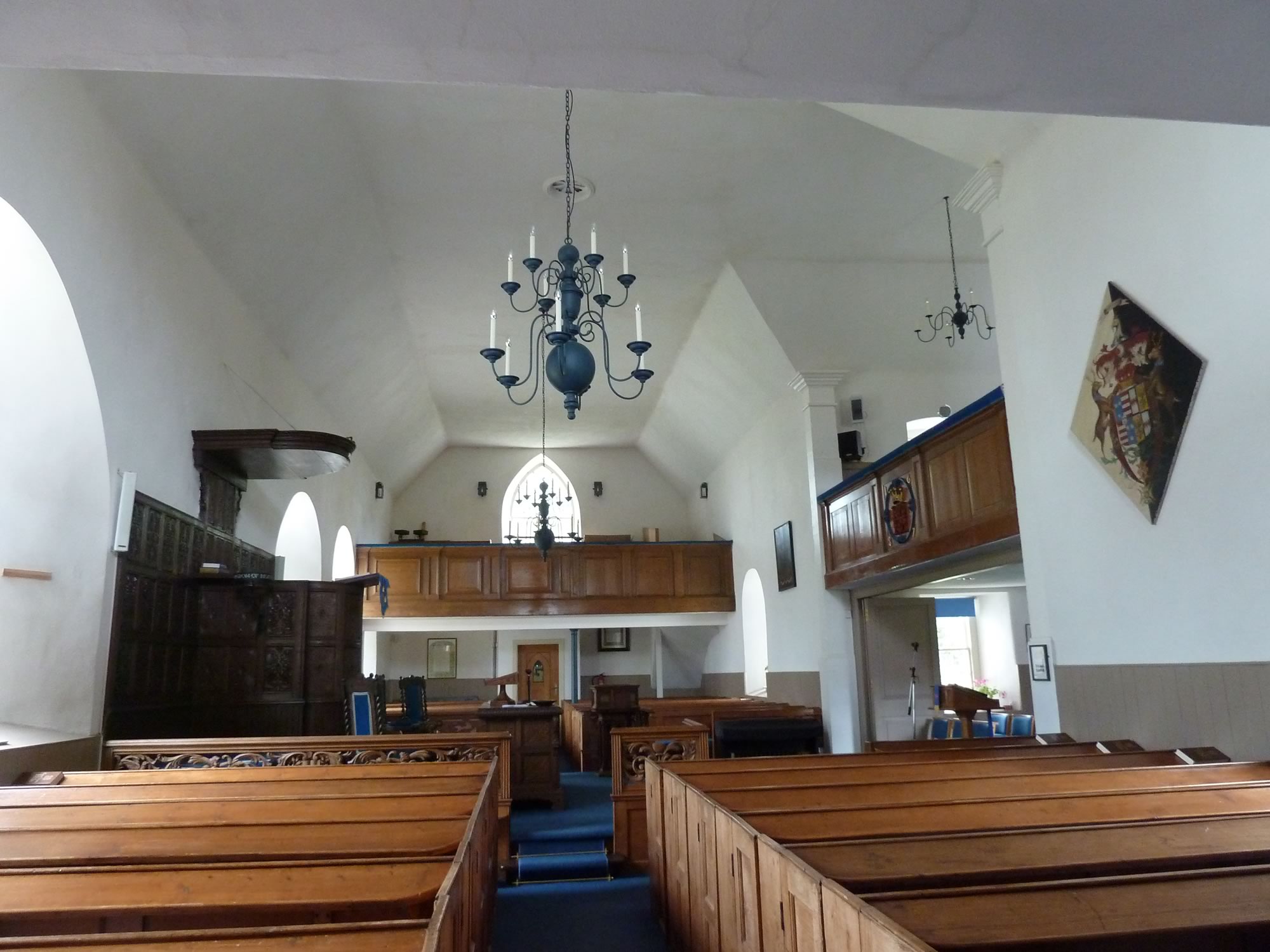
15.51 – Yester, Bolton and Saltoun Church in Gifford
While I contemplated the beautifully austere decor I thought of my distant days at convent school, and the faith I never lost because I never had it.
15.55 – Inside the Gifford church
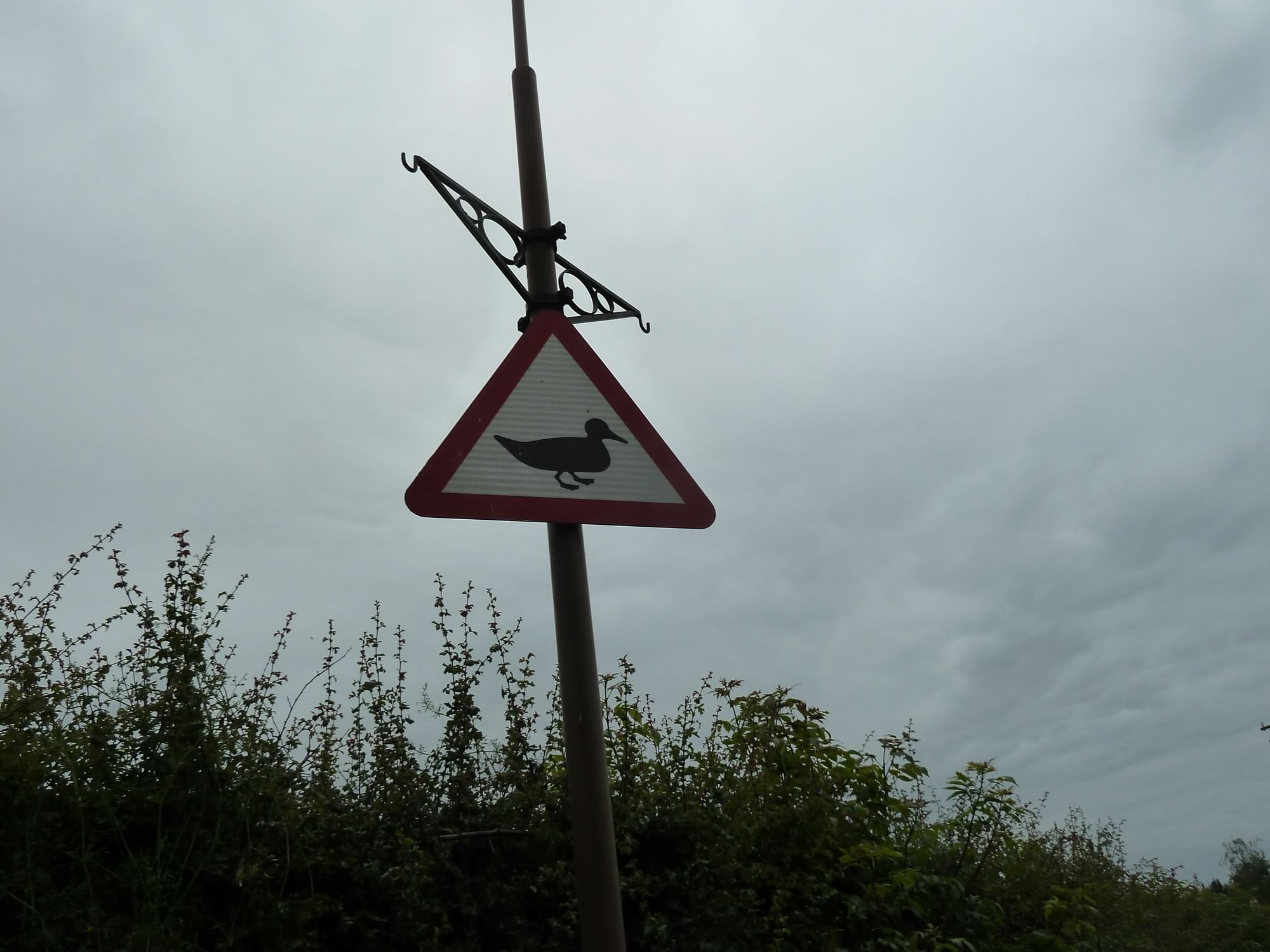
More road signs
We were happily cycling along when we came across another great road sign.
You can almost hear it quacking.
17.14 – Beware of the duck!
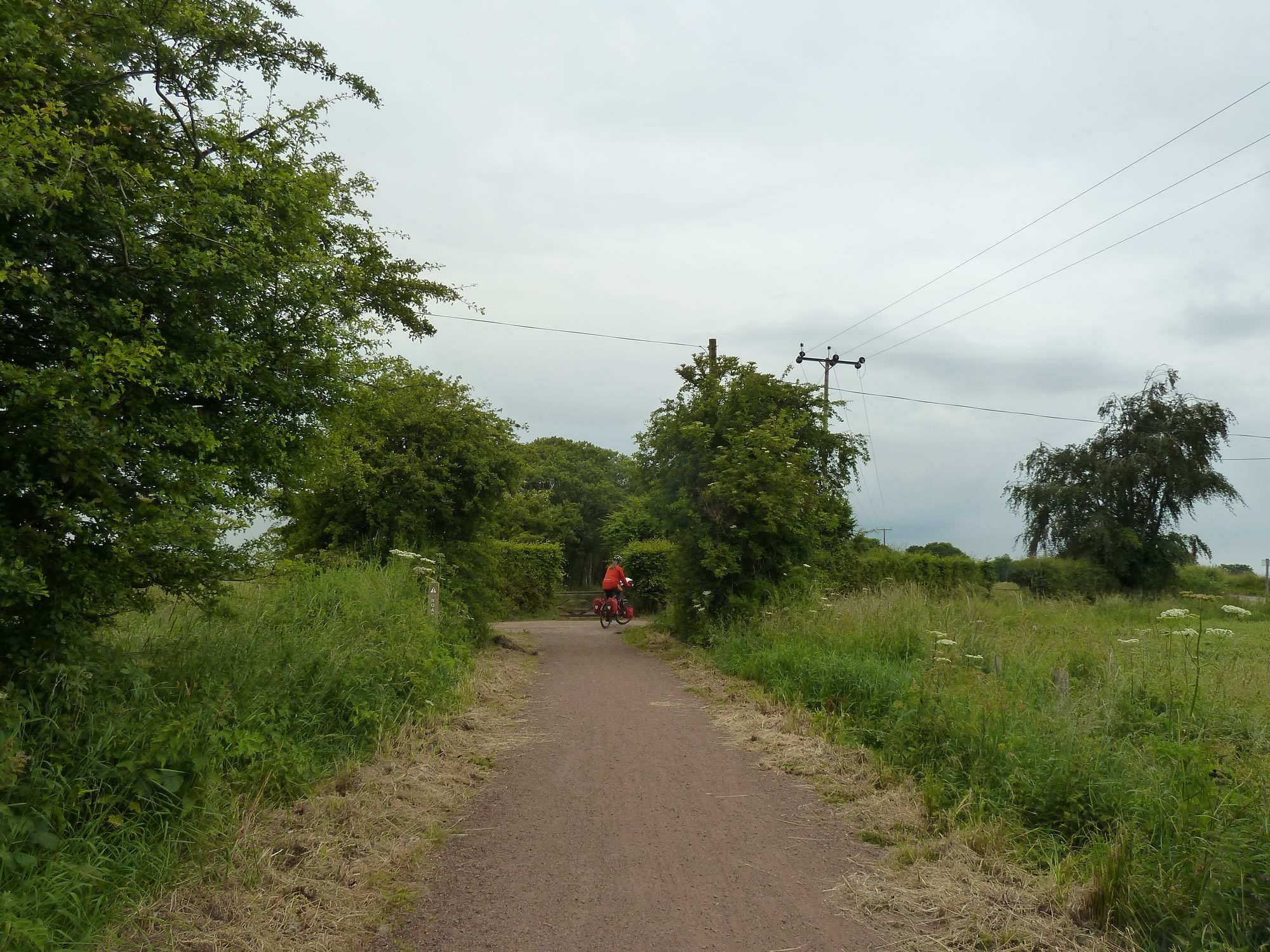
Soon we were on the easy, gentle and quiet Pencaitland path.
We’d cycled along it a good dozen times, but I’d never taken a picture of it for this blog.
17.45 – Simon on the familiar Pencaitland path
Sadly that was the end of our fantastic trip.
Over the four days we were on the road we did nearly 200 miles, climbed 2,700 m, and never run out of energy with our new diet.
Perhaps we’ll do just as well in Lanzarote, in five days’ time.
I took all the photos with the Panasonic.
* Simon took this photo.
