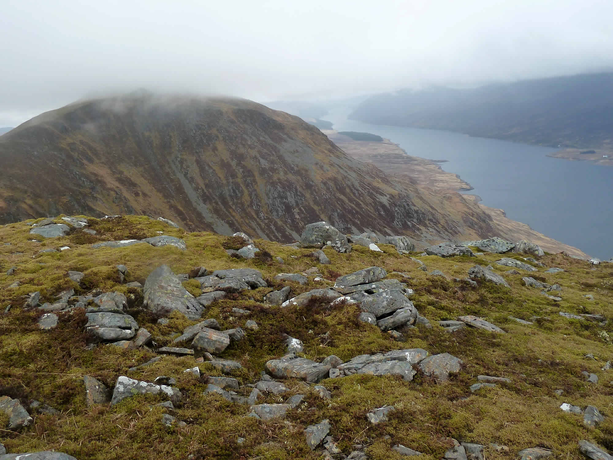
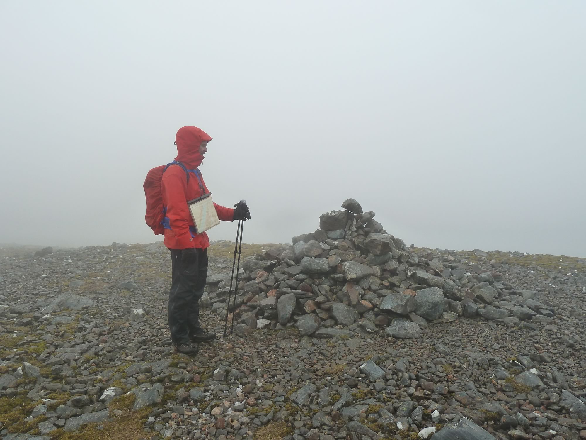
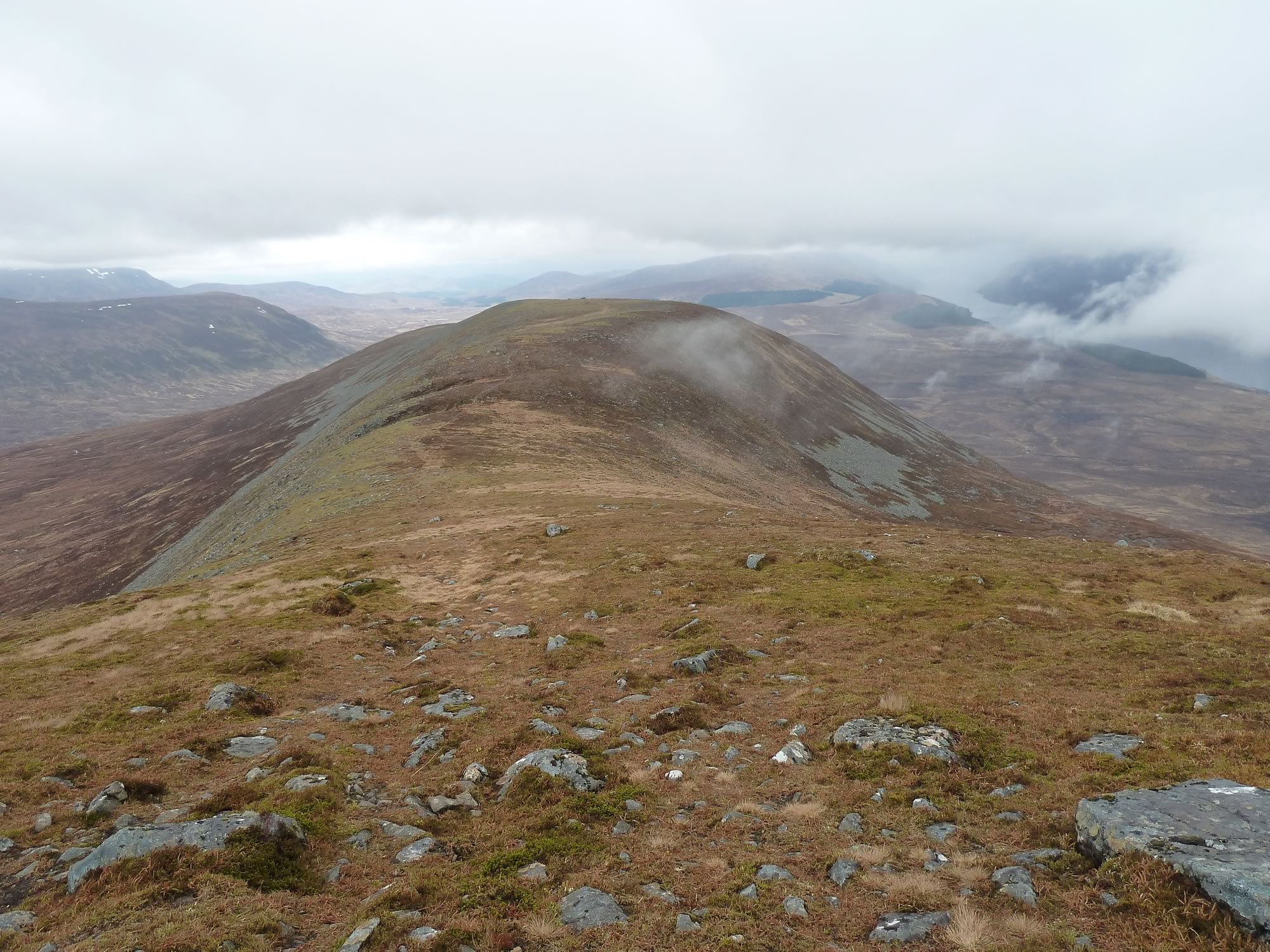
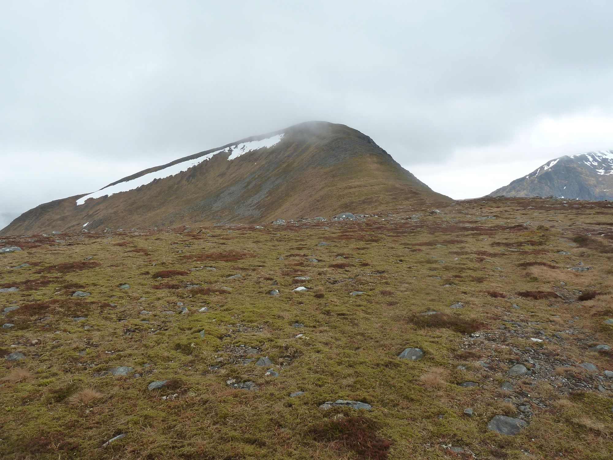
A year ago in March we took all our camping gear, jumped on a train, got off at Dalwhinnie, and headed for the spectacular Loch Ericht.
Once there, the idea was to climb one of the Munros near Ben Alder. Alas, Nature had other plans for us, and so we had to give up.
On our way back to the tent we agreed we’d try the climb again when there was no snow to ruin our adventure.
Friday, 26 April – Arriving at Dalwhinnie
That’s why, fourteen months later, we packed all our camping gear once again and jumped on the train to Dalwhinnie.
We arrived there with the bikes, four pannier, two rucksacks, an extra bag, and my wee camera.
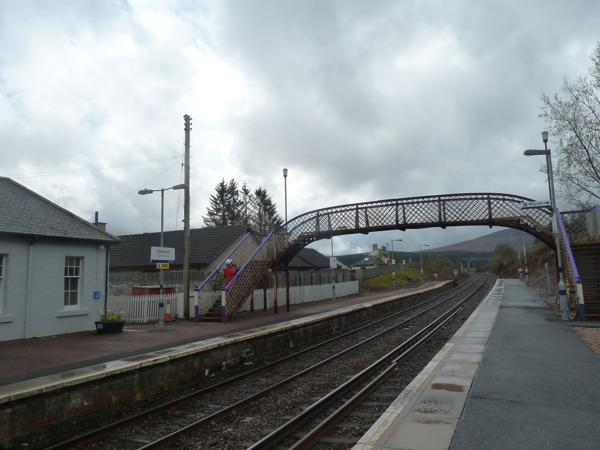
As always, Dalwhinnie station was empty.
12.58 – At Dalwhinnie station
The weather forecast for the weekend was mixed: broken cloud, a bit of rain and not much wind.
We were going to have lunch by Loch Ericht, but it was raining slightly. So we changed our plan and had lunch in the waiting room instead.
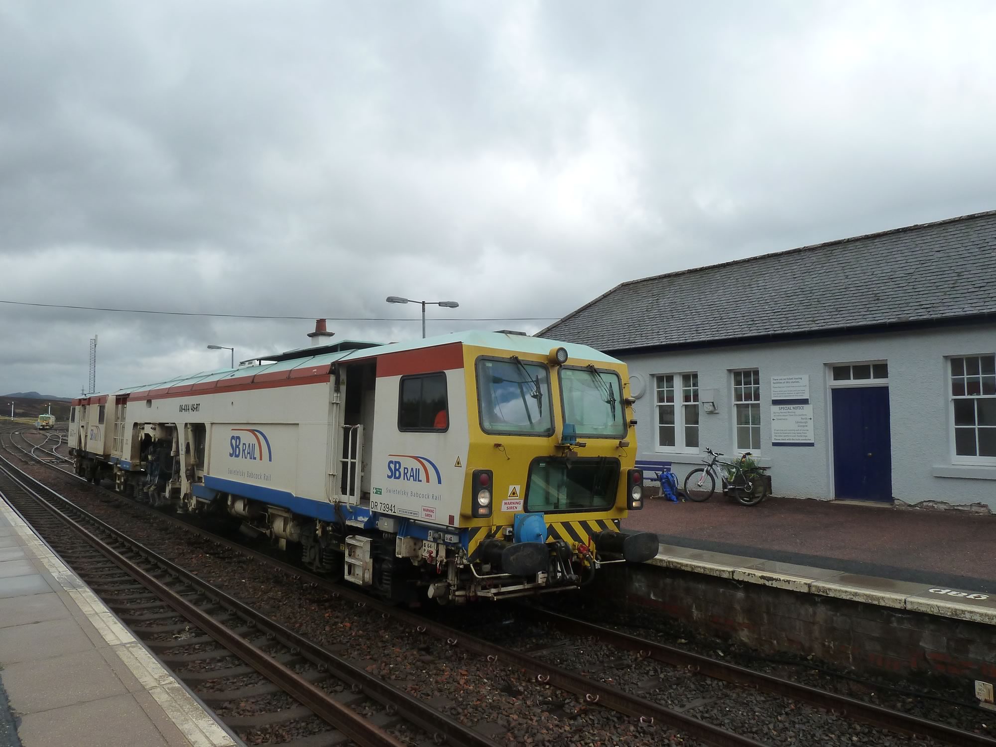
Then, while we were faffing around waiting for the band of rain to pass, I spotted this curious train.
13.00 – A cool train at Dalwhinnie station
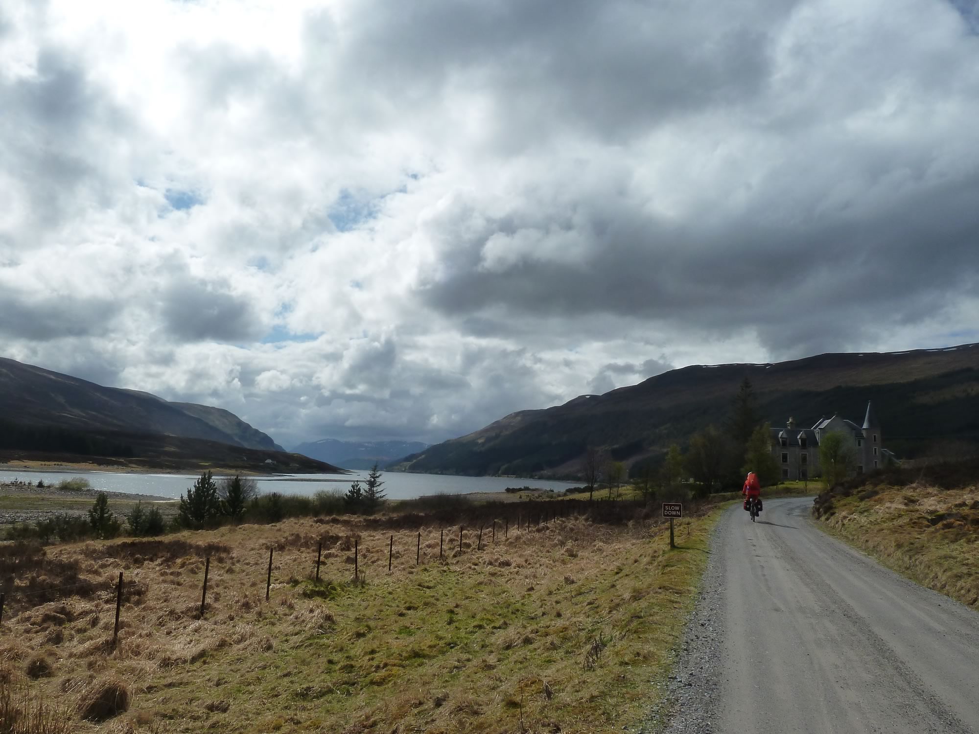
Eventually we jumped on the bikes and off we went, southwards along beautiful Loch Ericht.
Cycling along Loch Ericht
We cycled past the inelegant estate houses with their ghastly towers and graceless roofs, an eyesore in a small paradise.
14.06 – Simon cycling along the north end of Loch Ericht
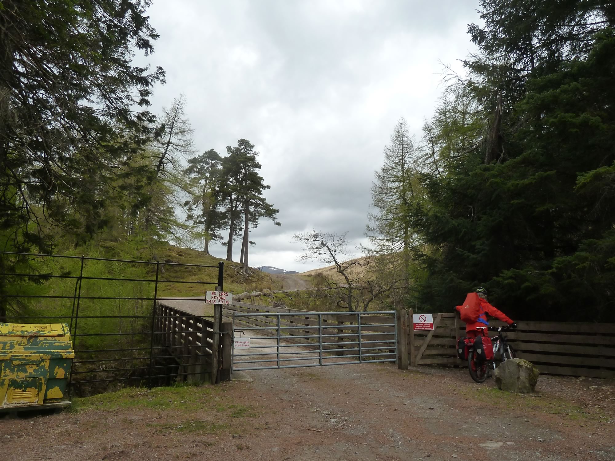
After about an hour, the easy road ends here and cars aren’t allowed beyond this point.
15.02 – Joining the path at the end of the road
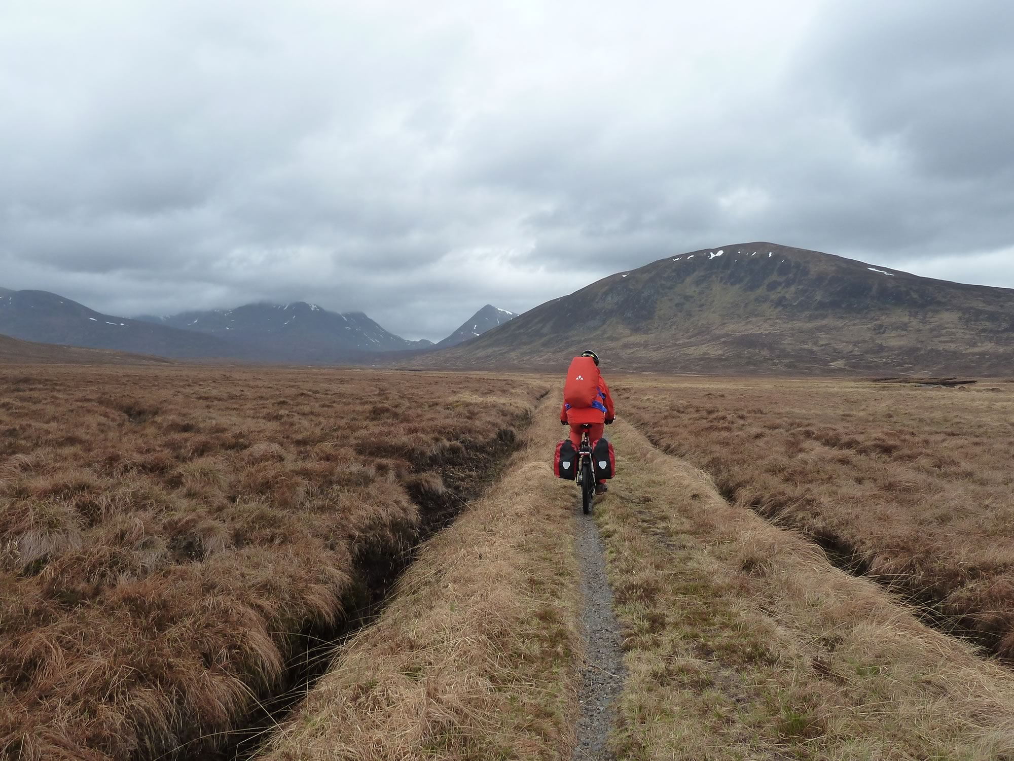
The path to the bothy is not exactly my favourite.
I may be a wimp, but I can’t cycle on that foot-wide path. My pedals keep hitting the overgrown grass, so I always end up pushing my bike most of the way, which saves me from my own moaning and lamenting.
15.47 – On the very narrow path
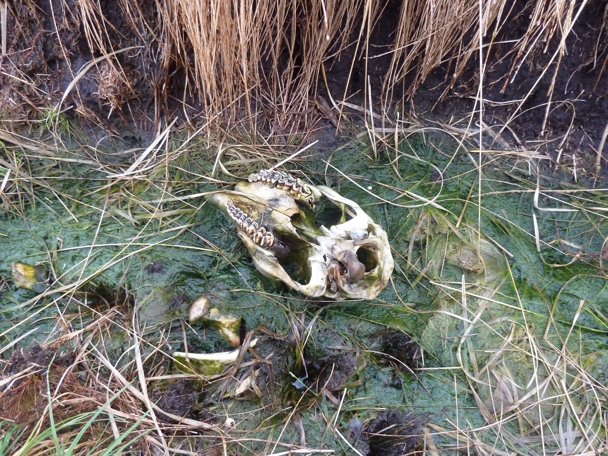
I was sort of happily springing along when I came across this sardonic reminder of the brevity of life.
16.19 – The future as we know it
Arriving at the bothy
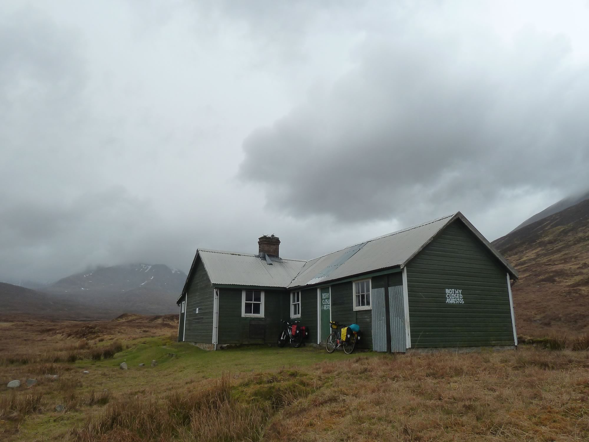
Soon we arrived at a deserted Culra bothy.
Two years ago there were quite a few tents around it. Last year, however, it was just us and a solitary camper. This year I was expecting to see some people, but there wasn’t a soul.
16.36 – The familiar Culra bothy
We had time to spare, so we stopped at the bothy and inspected it.
It’s a shame that the health and safety people decided to check the bothy for asbestos a few years ago. They found it by cutting into some of the walls, and now no one can spend the night there.
17.40 – Our first gourmet dinner
We wondered whether to put up the tent first and then have dinner, but we were both hungry, and felt quite cosy in the bothy.
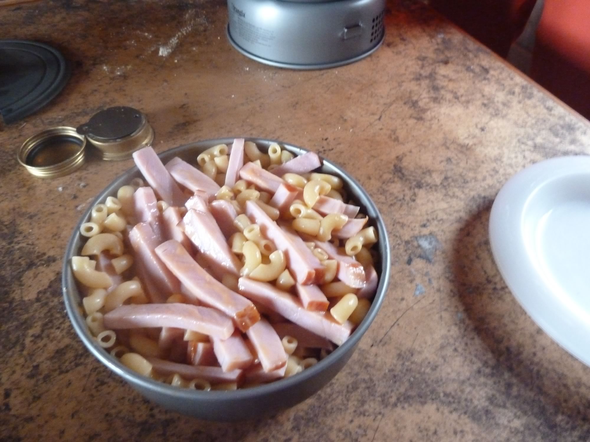
Dinner was a fabulous affair: ham & pasta with a cheese sauce.
I simply love those dinners that Simon cooks in the Trangia while I walk around with my camera in search of mementos.
Saturday, 27 April – Climbing Beinn Bheòil
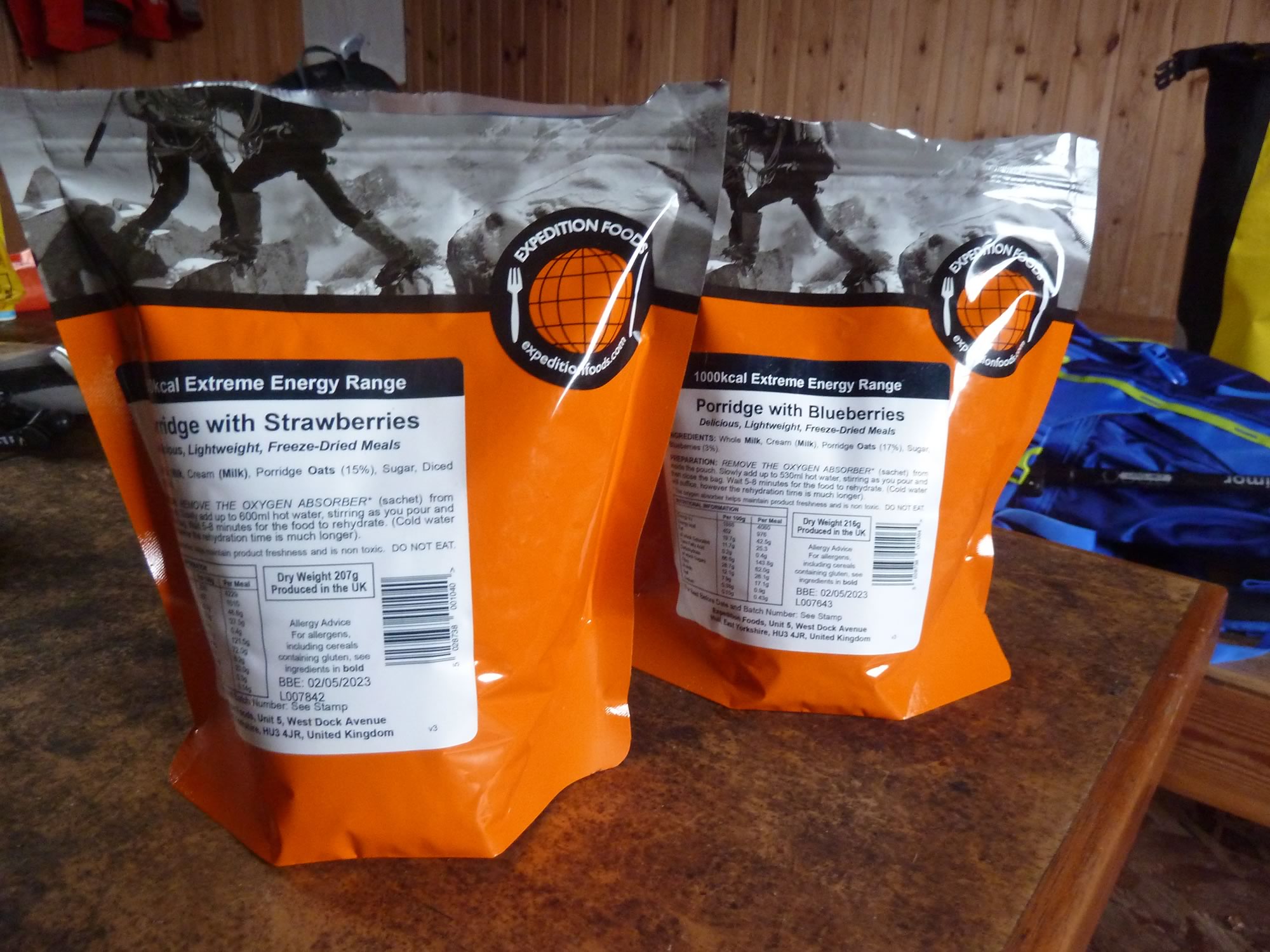
Breakfast was very much worth getting up for.
Those dehydrated meals are quite a discovery. The previous evening we’d had custard with apple for dessert. Breakfast was porridge with berries, a whooping 976 calories each. Enough to go up any hill and back.
7.57 – An olympic breakfast
The weather forecast was for low cloud and a sprinkle of rain, on and off.
Sunday was supposed to be sunnier, but we’d bought the train tickets weeks in advance, so we had to take whatever Mother Nature decided to send us.
We reckoned the gloomy forecast must have scared everyone off, because we never saw a soul all day until late in the evening, when we’d finished our dinner.
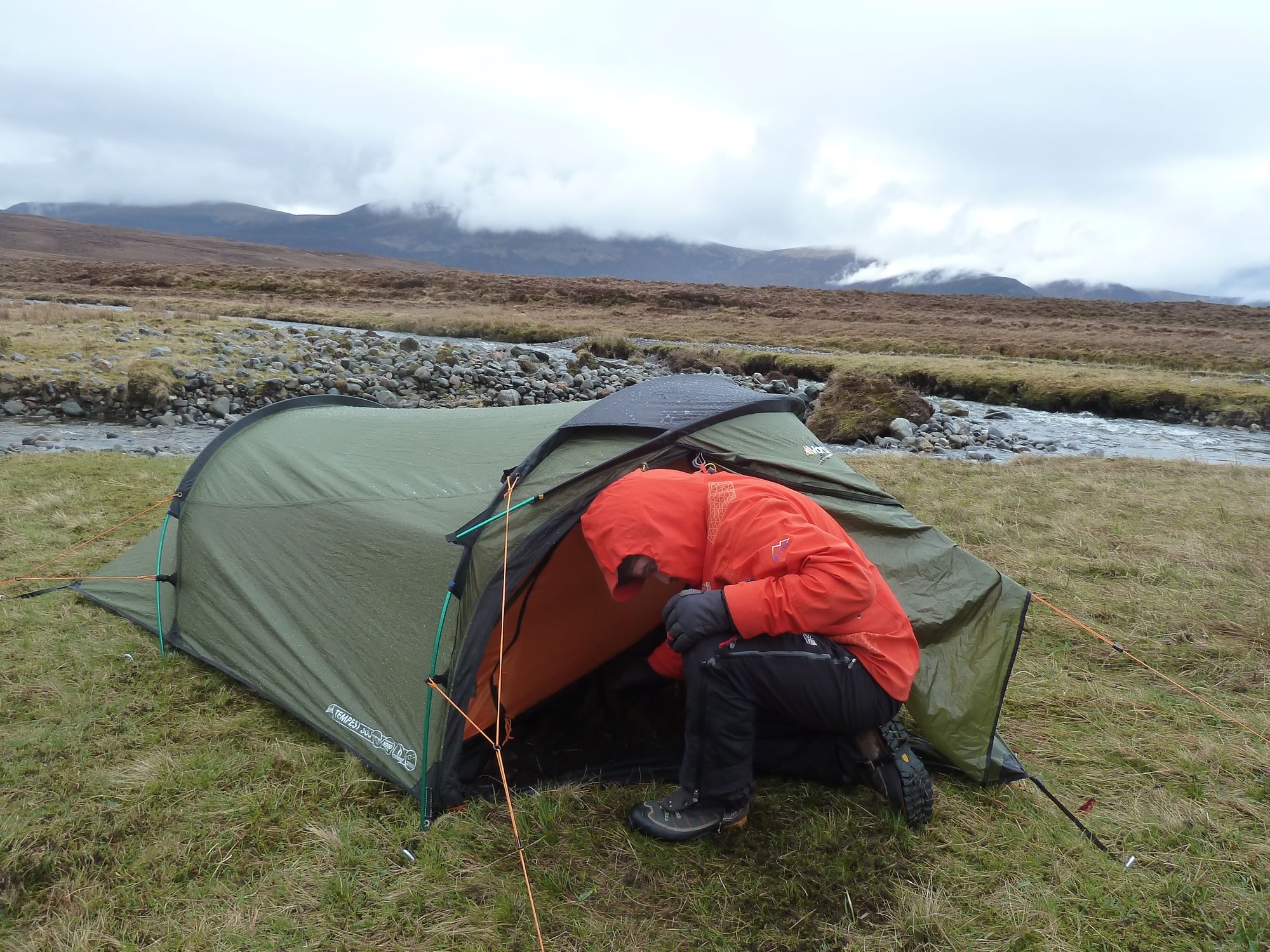
9.28 – Simon & our beloved second home
After putting our waterproofs on, we set off. The plan was to climb Beinn Bheòil, the Munro we’d attempted the year before in melting snow.
In case you’re curious, this is how you pronounce Beinn Bheòil: /binˠ’vjɔ:əl/.
The Gaelic name Beinn Bheòil means “Hill of the Mouth”, and I’ve also found this other translation: “Front Hill”.
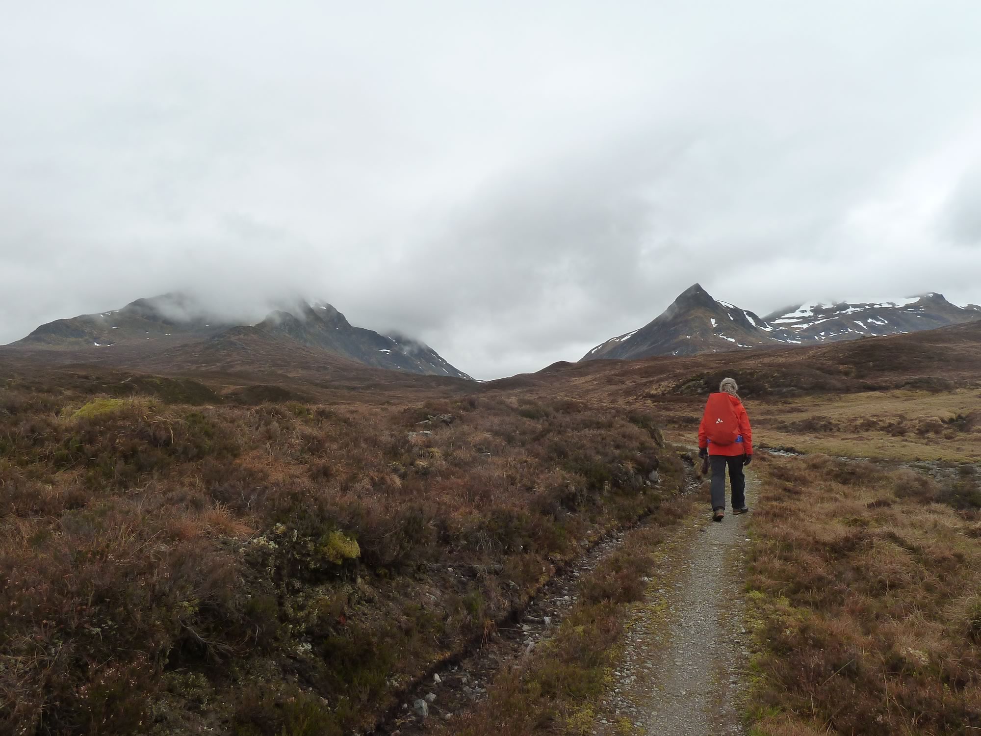
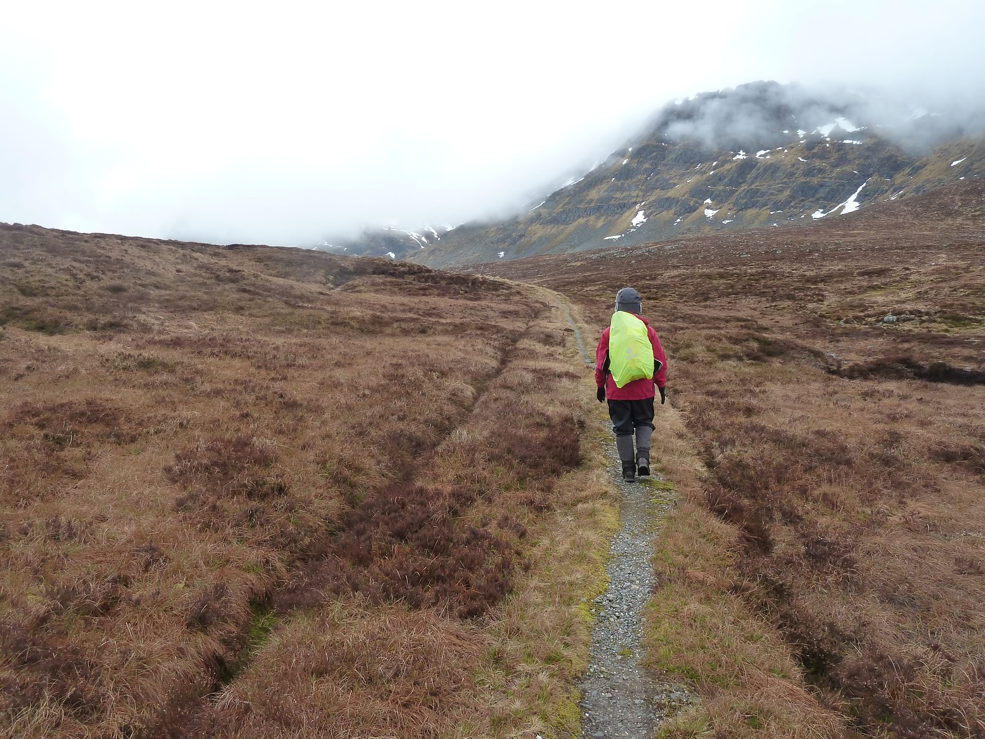
10.02 – Simon, Ben Alder (left) & Sgòr Iutharn (right)
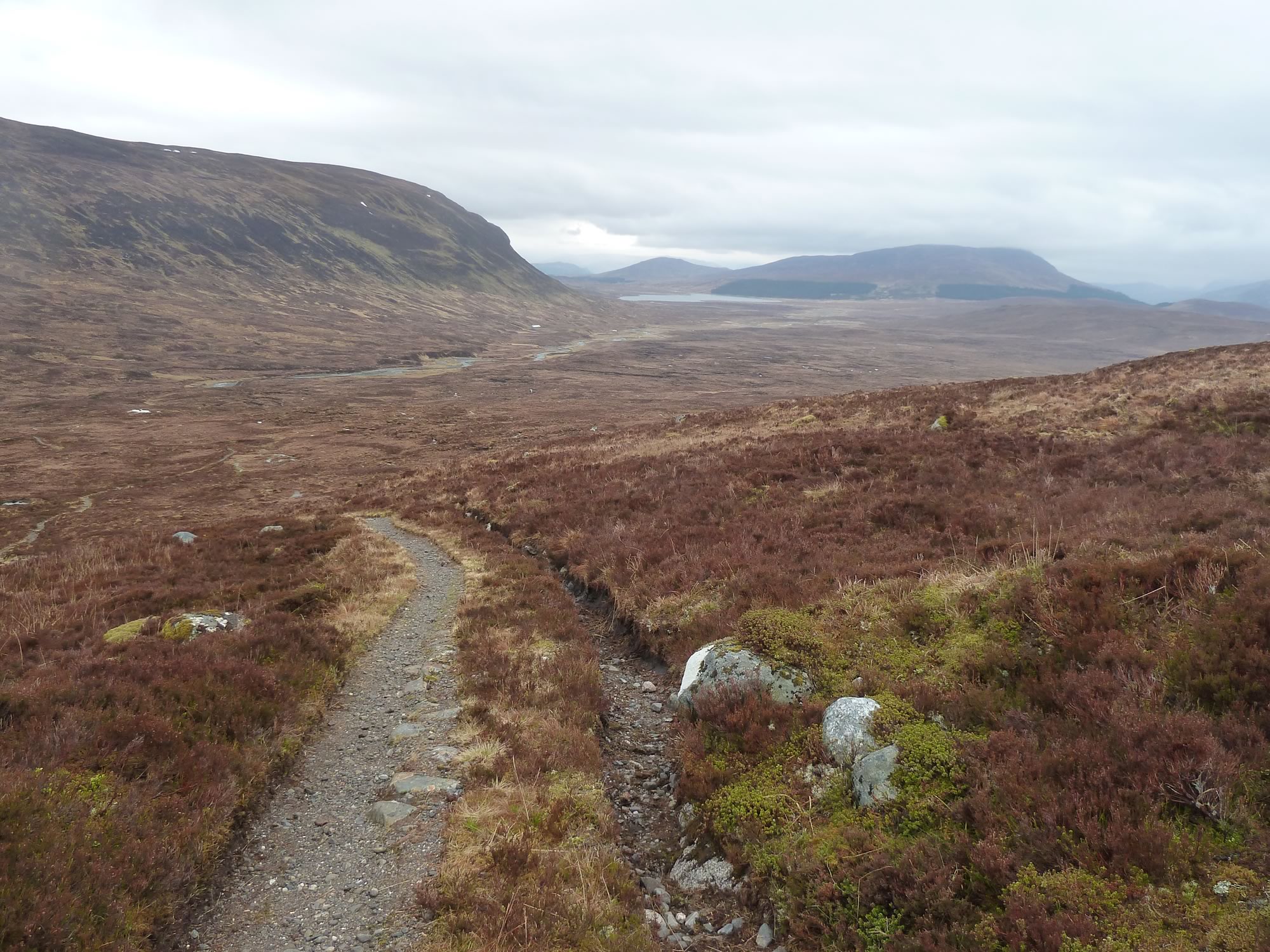
Off to Beinn Bheòil
It was the third time we went along this path. The first one was when we climbed Ben Alder, the most popular Munro in this area.
The cloud was clinging on to the slopes, hiding the summits.
10.59 – Maria pretending not to pose *
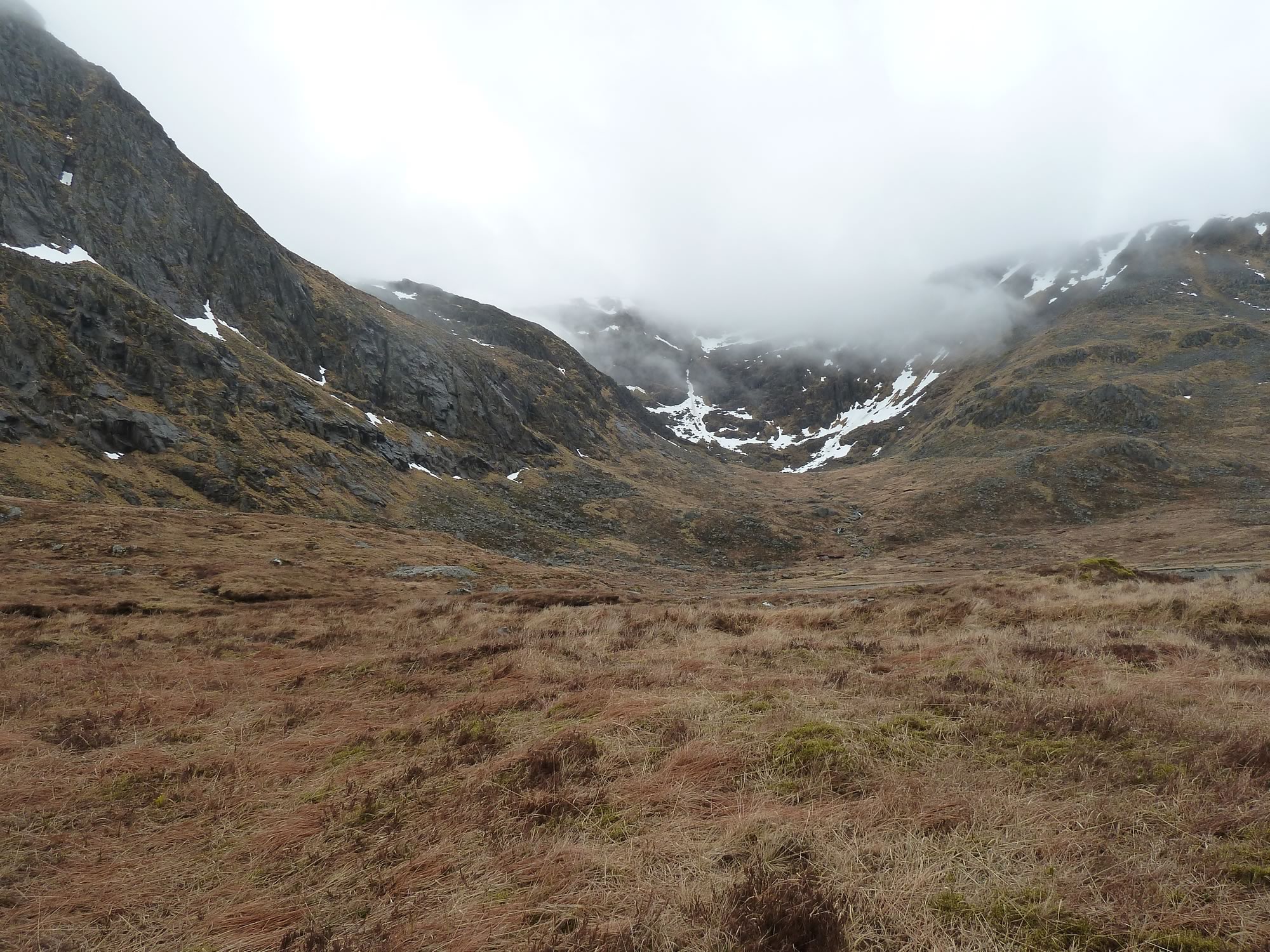
Over the years, I’ve grown to love the stubborn cloud. Every now and then it moves, becomes more translucent, and you get a glimpse of the hills. Then, they disappear again behind the white curtain, like in a dream.
11.48 – Corrie between the Short and Long Leachas
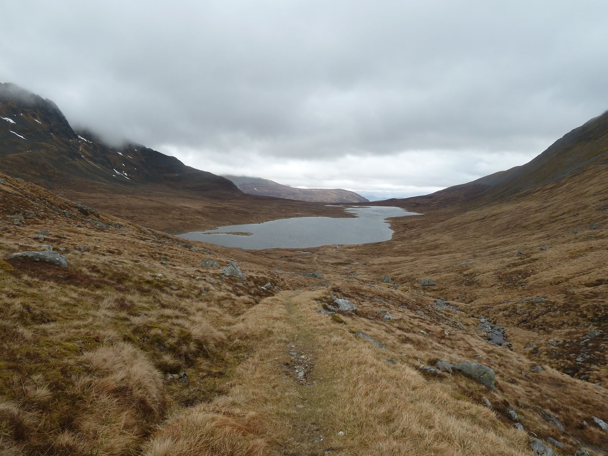
We walked along the remote Loch a’ Bhealaich Bheithe, a peaceful spot with an unpronounceable name.
12.21 – The peaceful Loch a’ Bhealaich Bheithe
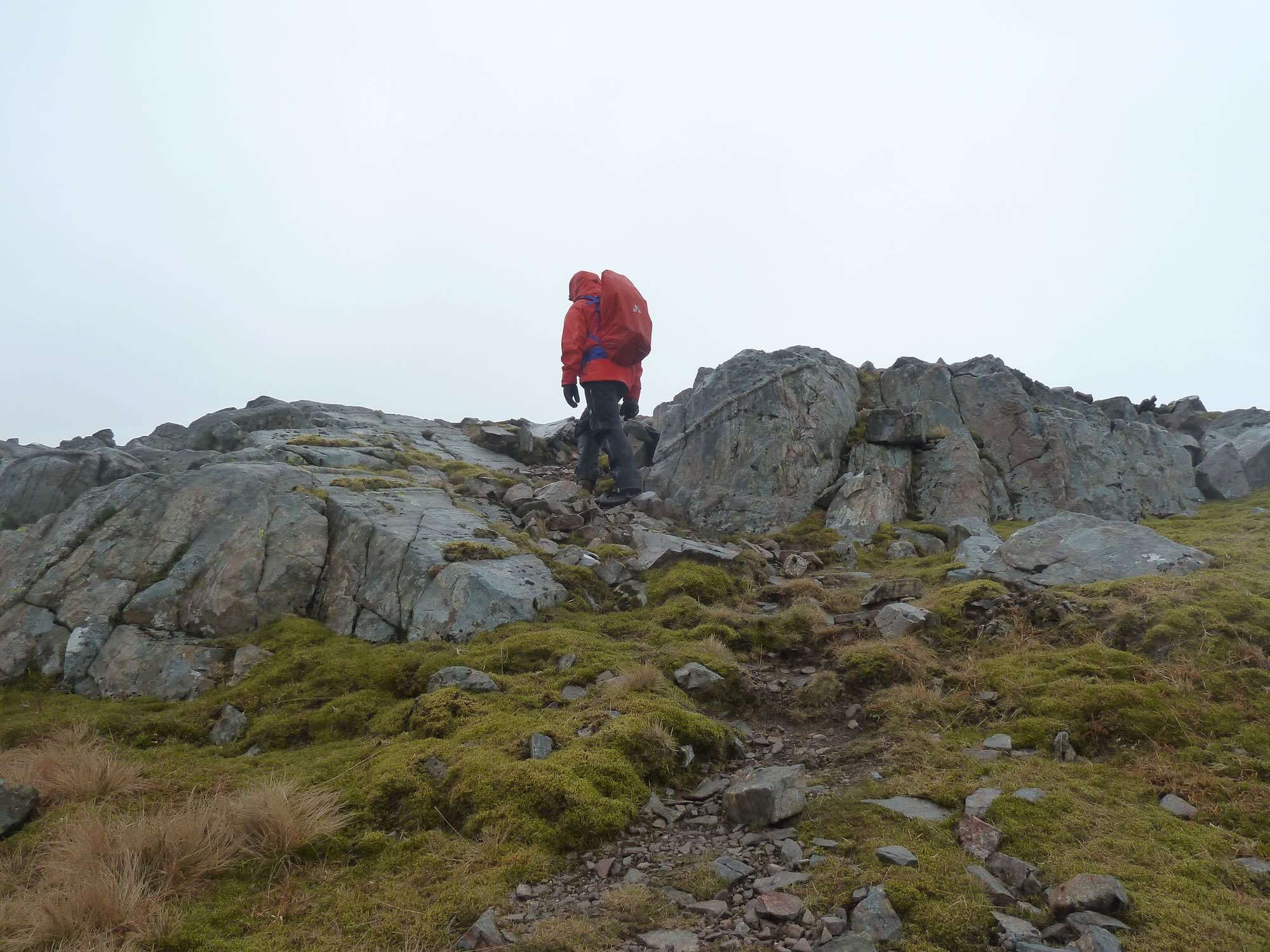
If you look at the Ordnance Survey map for this area, you’ll notice quite a few fields of boulders.
Some of the boulders are huge and easy to navigate. Others are tiny and slippery, a little torment worth enduring to get those stunning views.
12.55 – Simon on a mission
A view of the summit
This is what we weren’t able to do last year, the first time we attempted to climb Beinn Bheòil. Getting this far would have been tricky, but walking along the ridge would have been nuts with all that melting snow under our feet.
Sometimes, in Edinburgh, Simon shows me the views we’re going to get from the hills he’s chosen. Other times, like on this occasion, it’s a surprise.
And I stand there, hypnotised by the beautiful land I’ve chosen as my home.
13.04 – Beinn Bheòil in front of us & Loch Ericht
From that magical spot we could see Beinn Bheòil, our Munro, and its long ridge leading to the summit.
We could also see the cloud forming on the lee. I tried capturing it with my camera, but it was too subtle for the lens.
13.10 – Panoramic view of Beinn Bheòil & Loch Ericht *
The ridge to the summit of Beinn Bheòil is another field of boulders.
By then I was almost getting used to them, plus there was a ptarmigan in winter plumage sitting on a rock, staring at us. A minute later it’d hide, return, and hide again.
Reaching the summit of Beinn Bheòil
After last year’s defeat, reaching the summit felt like a double achievement.
14.14 – Simon conquering Beinn Bheòil
The views were intermittent, but spectacular when the cloud moved.
14.40 – The long descent from Beinn Bheòil
On those long, gently descents I often draft in my mind the stories that I’ll be telling you on this blog.
Sometimes, back home, when I sit down to write them, I remember the original words. Other times they vanish, and I have to make do with lesser tales.
14.53 – Looking up at Beinn Bheòil
It’d been raining on and off since we set off, but we’d managed to stay fairly dry up to this point.
15.52 – View of the bothy & Loch Pattack in the distance
But now the rain was persistent, and we arrived at the tent somewhat soaked.
Back at the bothy
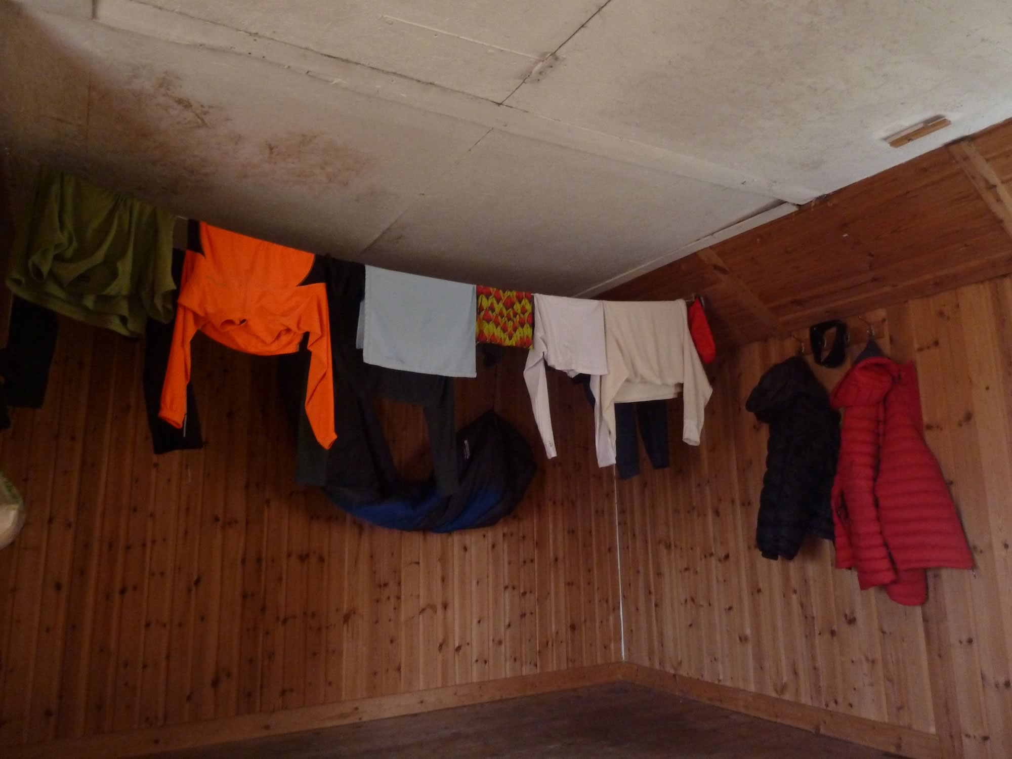
We were getting cold, so we decided to get changed in the bothy and hang our clothes there.
16.53 – Our clothes drying in the bothy
The idea with the clothes was to leave them drying in the bothy until the morning, but soon after we finished our dinner a few campers arrived.
No one’s ever touched our bikes, panniers, tent, or anything of ours when we’ve been out and about on the hills. But, as good city folk, we imagine bandits everywhere, so we took the clothes with us to the tent.
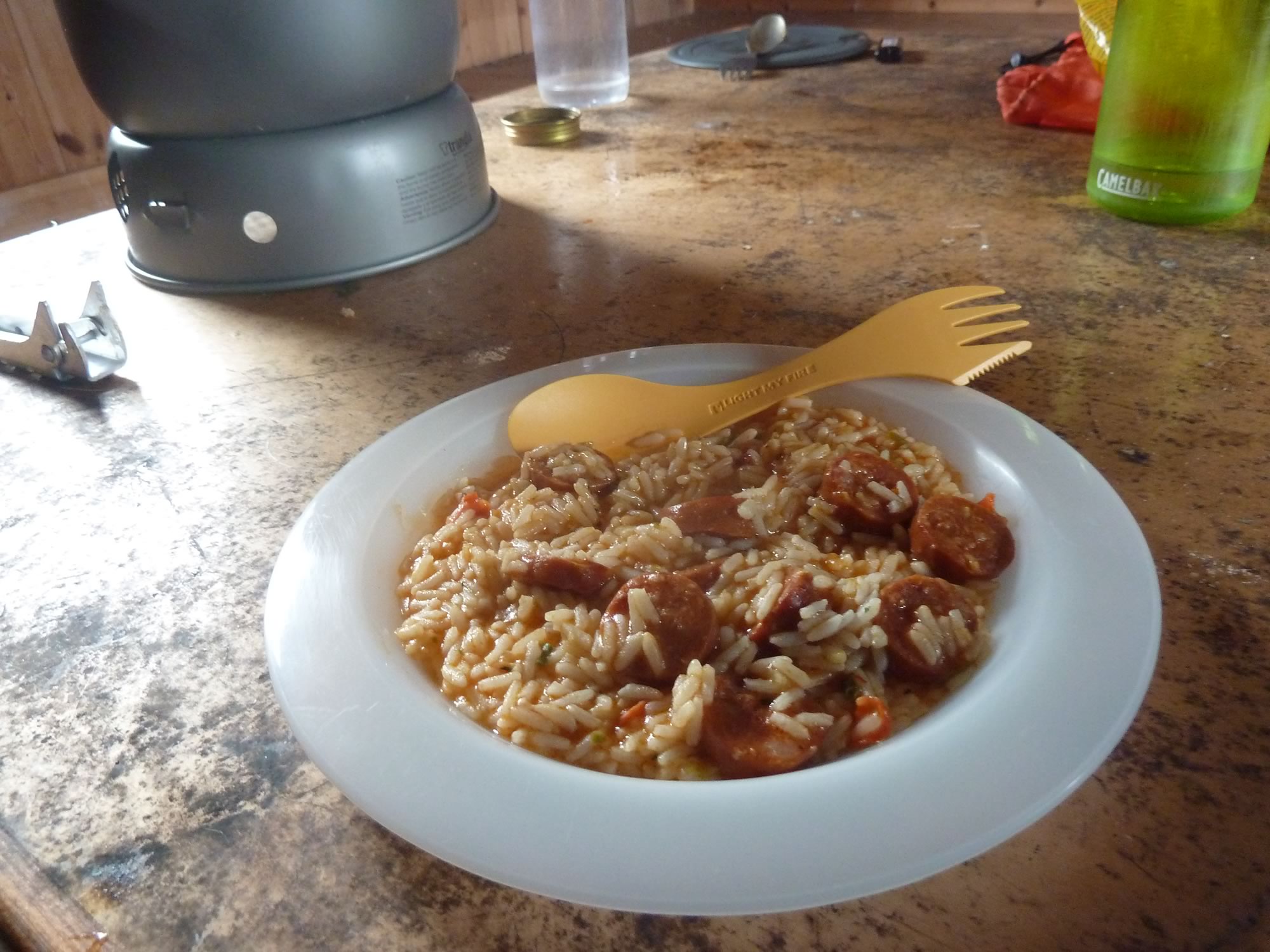
Our second dinner in the bothy was rice with spicy chorizo, Simon’s Trangia classic.
18.23 – Our second gourmet dinner
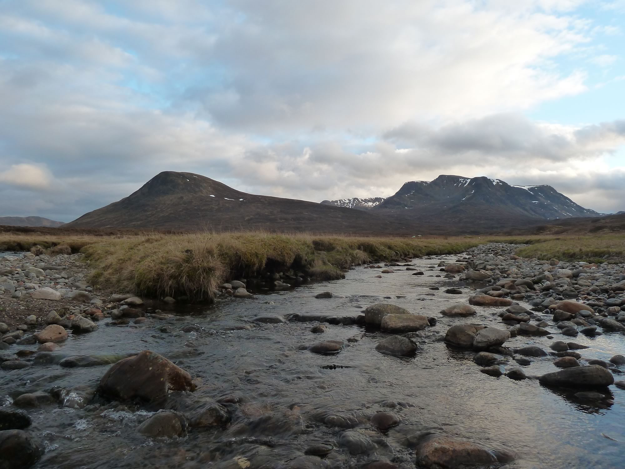
The evening brought us this view from the rocks in the middle of the Allt a’ Bhealaich Dhuibh, our stream. It was awesome.
19.55 – Beinn Bheòil (left) & Ben Alder (right) in the evening sun
My second night in the tent was uneventful, unlike the first one.
You see, the night before I’d been inflating the mattresses and running around getting everything ready. By the time I was getting into my sleeping bag, I was dripping, so I decided to wear only my Craft top and down jacket.
Bad decision. I was cold most of the night.
Having learnt my lesson, the second night I wore everything we’d brought, and slept like a log.
Sunday, 28 April – Returning to Dalwhinnie
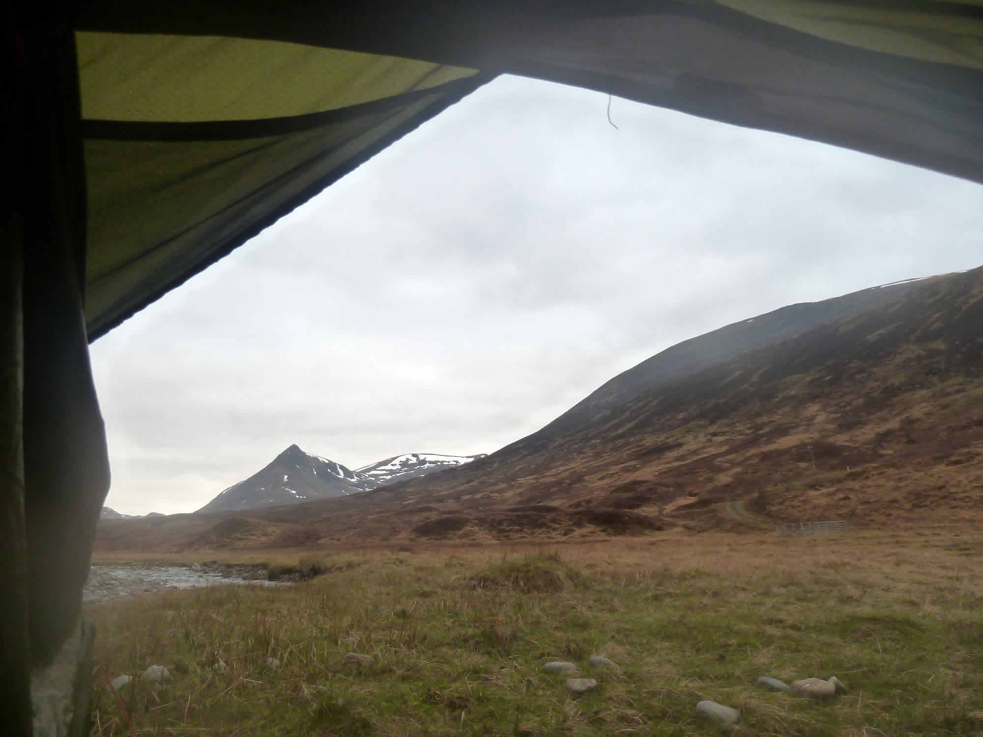
When I put my head out of the sleeping bag this is what I saw.
Sgòr Iutharn is a 1028 m Munro top that we’ll climb when we come back, hopefully next year.
6.12 – View of Sgòr Iutharn from our tent
Sadly, now, it was time to leave.
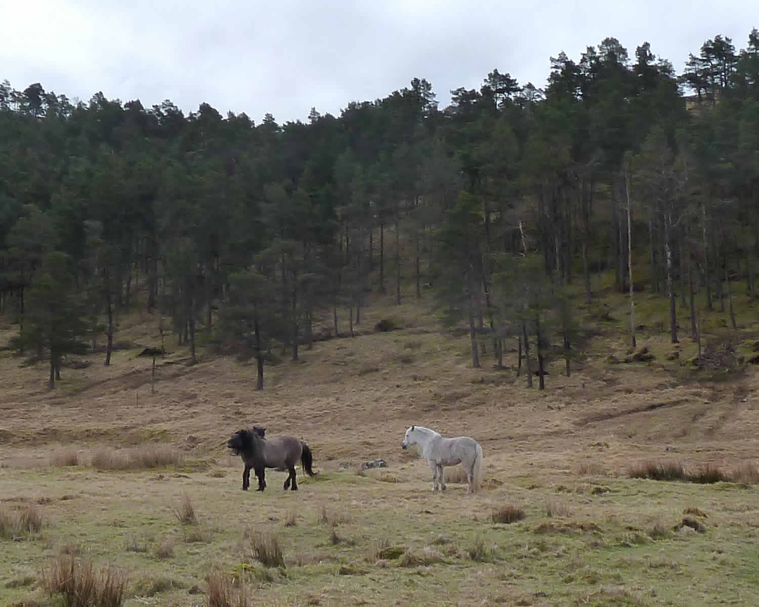
Without much hurry, we had breakfast, packed the tent, and cycled back to Dalwhinnie. On our way we saw the familiar wild ponies.
9.16 – Saying Hello to the wild ponies
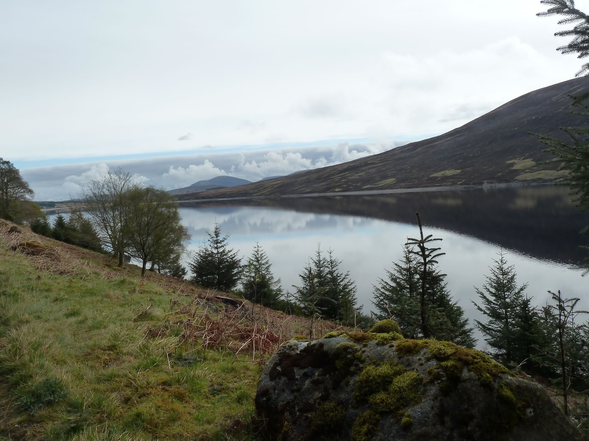
Loch Ericht was looking melancholic, unlike last year when we cycled along it in glorious sunshine.
A bit about Dalwhinnie
Dalwhinnie is a tiny village in the Scottish Highlands, on the western edge of the Cairngorms National Park. Population: 80. Just eighty.
We’ve cycled around it a few times on our way back to the station, but it’s only today that I’ve learned how small it is.
I love the name Dalwhinnie. In case you’re curious about how to pronounce it, here it is: /dælˈhwɪni/.
The Scottish Gaelic for Dalwhinnie is Dail Chuinnidh, meaning “meeting place”.
9.55 – Back at the north end of Loch Ericht
Dalwhinnie is one of the coldest inhabited places in the UK, with an average annual temperature of 6.6°C. Ouch.
You may have heard the word Dalwhinnie before. It’s the name of one of the most famous single malt whiskies. The distillery is not too far from the station, and is the highest-elevation working distillery in Scotland.
Dalwhinnie also has a remarkable place in history.
The Drumochter Pass
6 miles south of Dalwhinnie, the train slows down. You’re arriving at the impressive Drumochter Pass, the highest railway line in the UK at 452 m (1480 ft).
The place is bleak, isolated, and unbelievably beautiful.
The Drumochter pass has been used since prehistoric times, and in 1728 General Wade started here the construction of one of his famous military roads.
Further along, 18 miles from the pass, is the next station, Blair Atholl, one of our favourite places in Scotland.
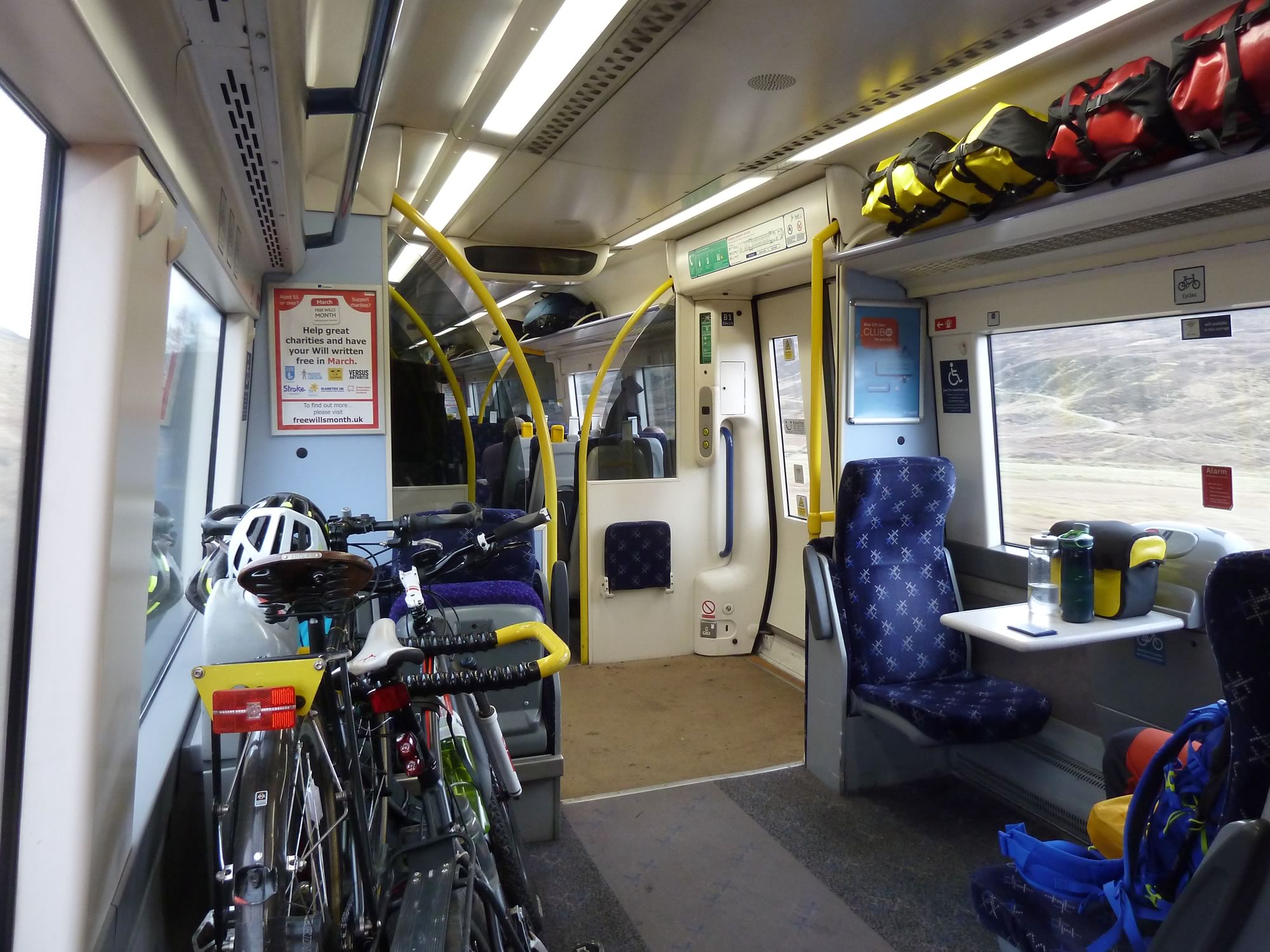
12.03 – Our bikes & bags back on the train
When you finally sit on the train, it hits you just how exhausting those wild camping trips are. You get back home and wonder for a brief moment why you did it all.
Then you lie in bed, counting down the days to your next camping adventure.
I took all the photos with the Panasonic.
* Simon took this photo.
