Day 4 on the GR34: map & data
Total climbing: 250 m
Total time: 04:06:16
Average speed 1.9 mph, including stopping for breakfast
This was going to be our shortest walking day, with a swift bus ride to Quimper in the early afternoon.
It’s good that we didn’t do this four-day walk the other way around, from Audierne to Douarnenez. As it turned out, Day 1 was the hardest of the four, and this the easiest.
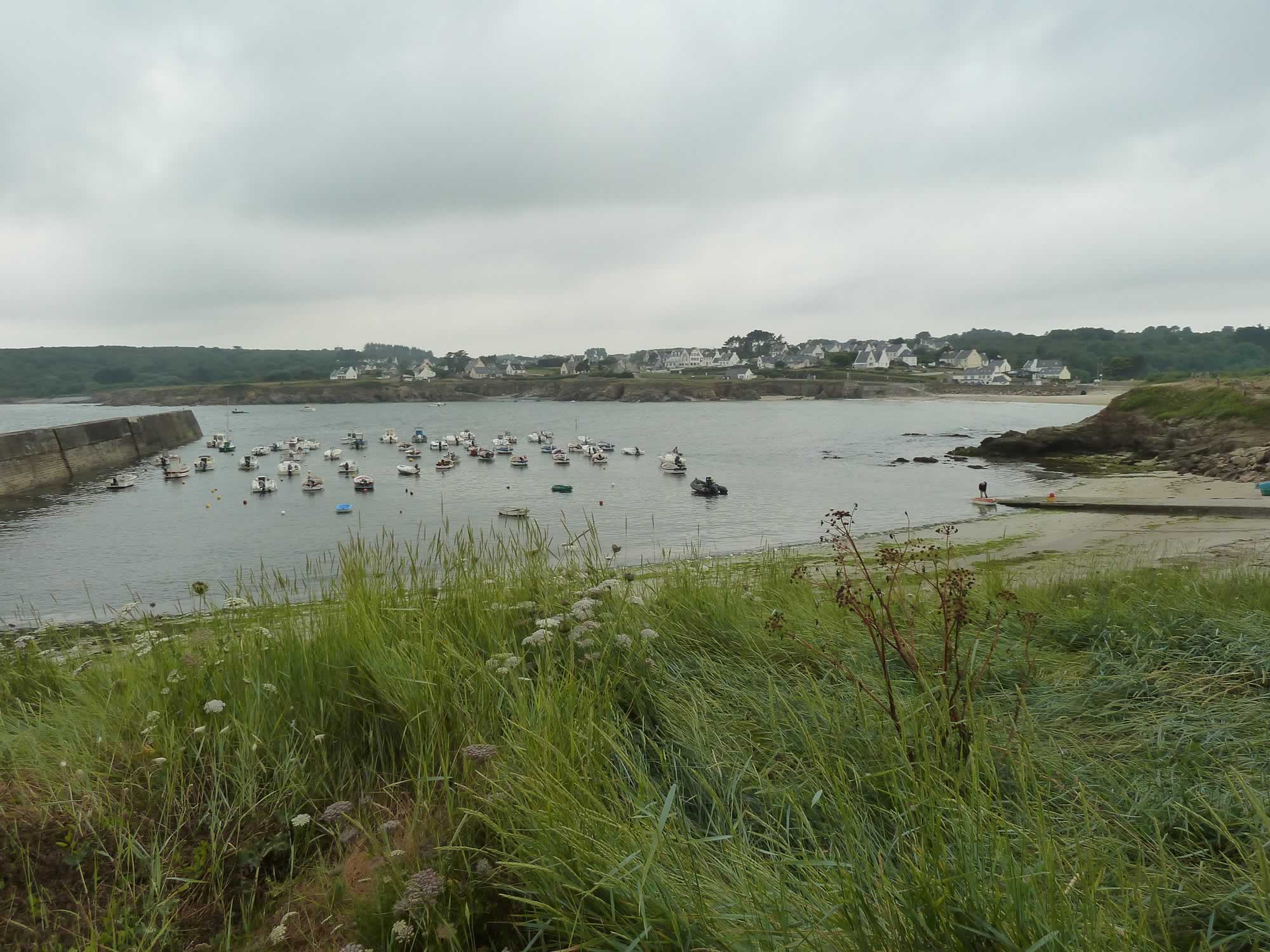
Leaving Port du Loch
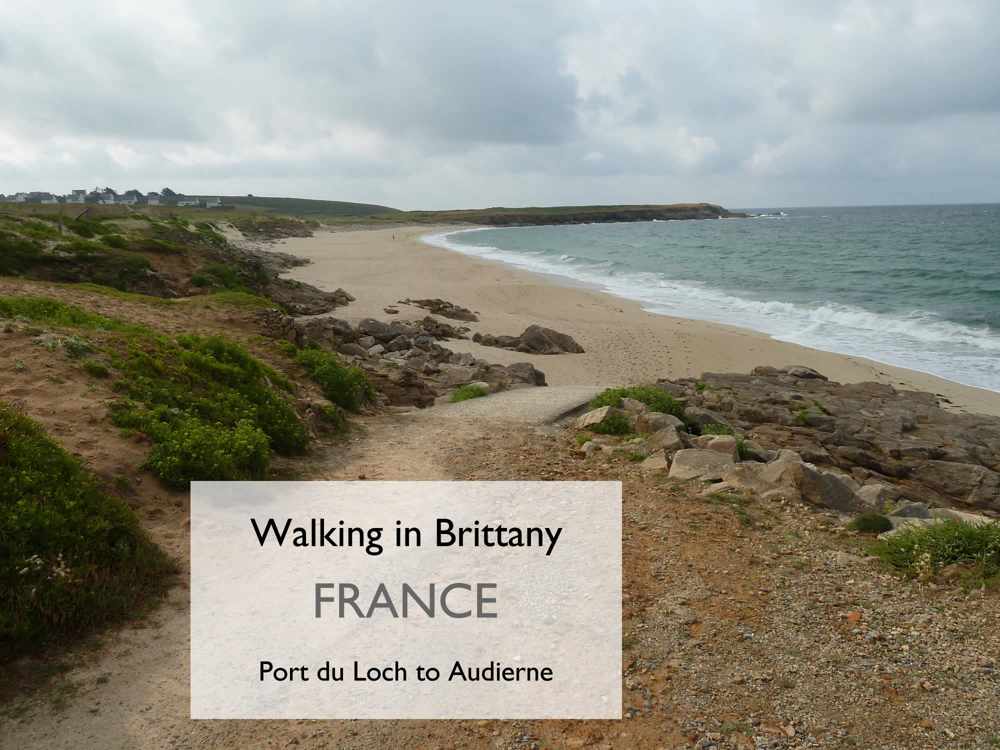
We left the hotel without breakfast and headed for the port. From there, we walked along the beautiful beach for about ten minutes.
8.03 – Leaving the Anse du Loc’h
Soon we joined the GR34, in search of the perfect breakfast spot.
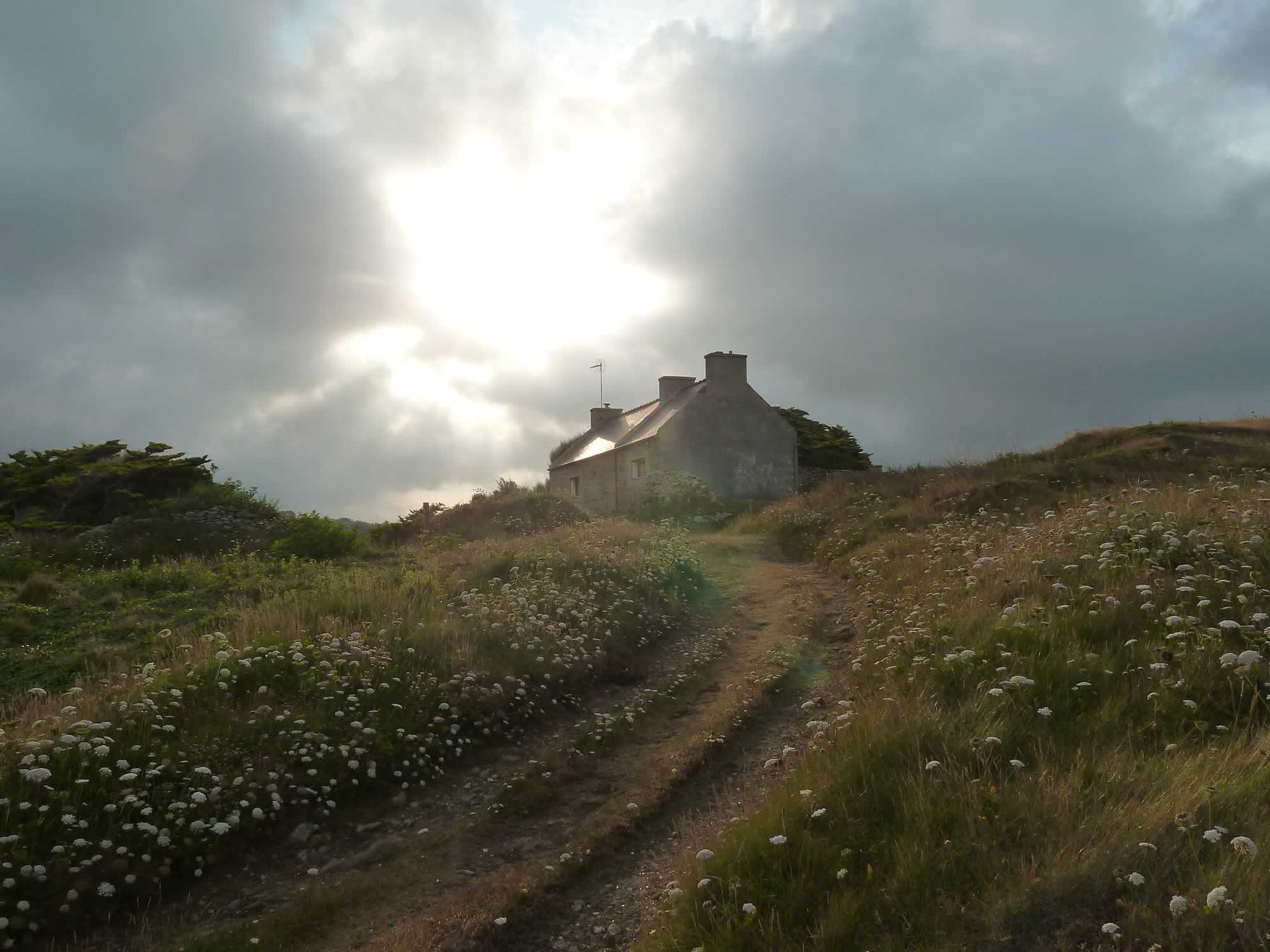
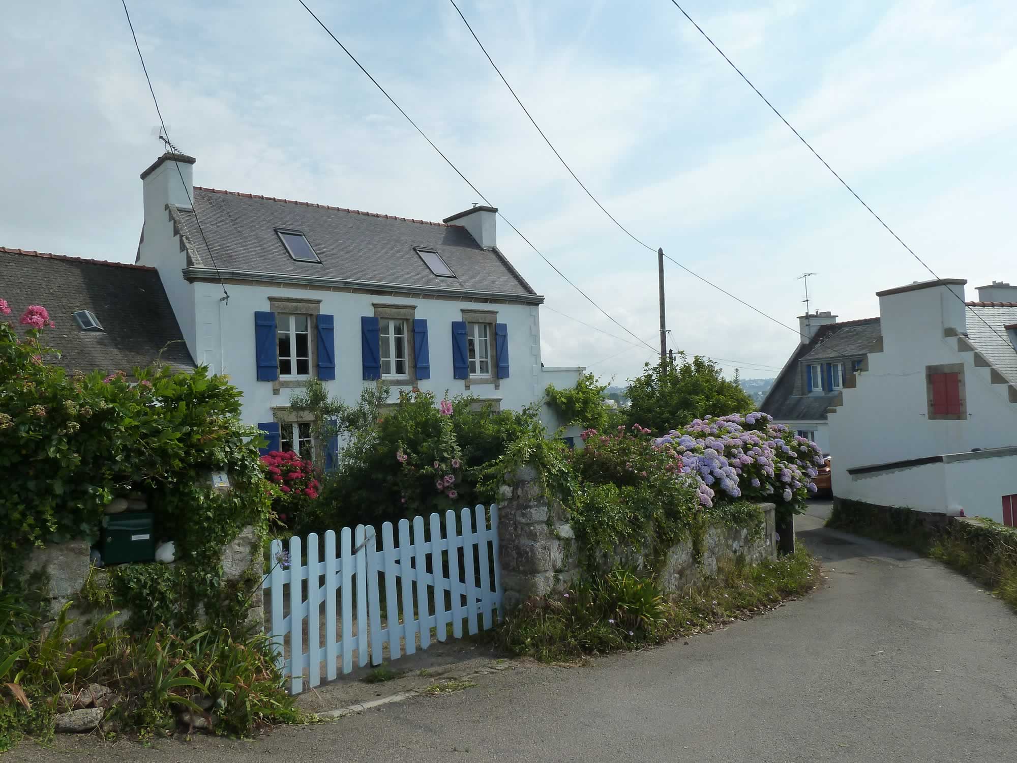
8.12 – Breton house in the morning sun
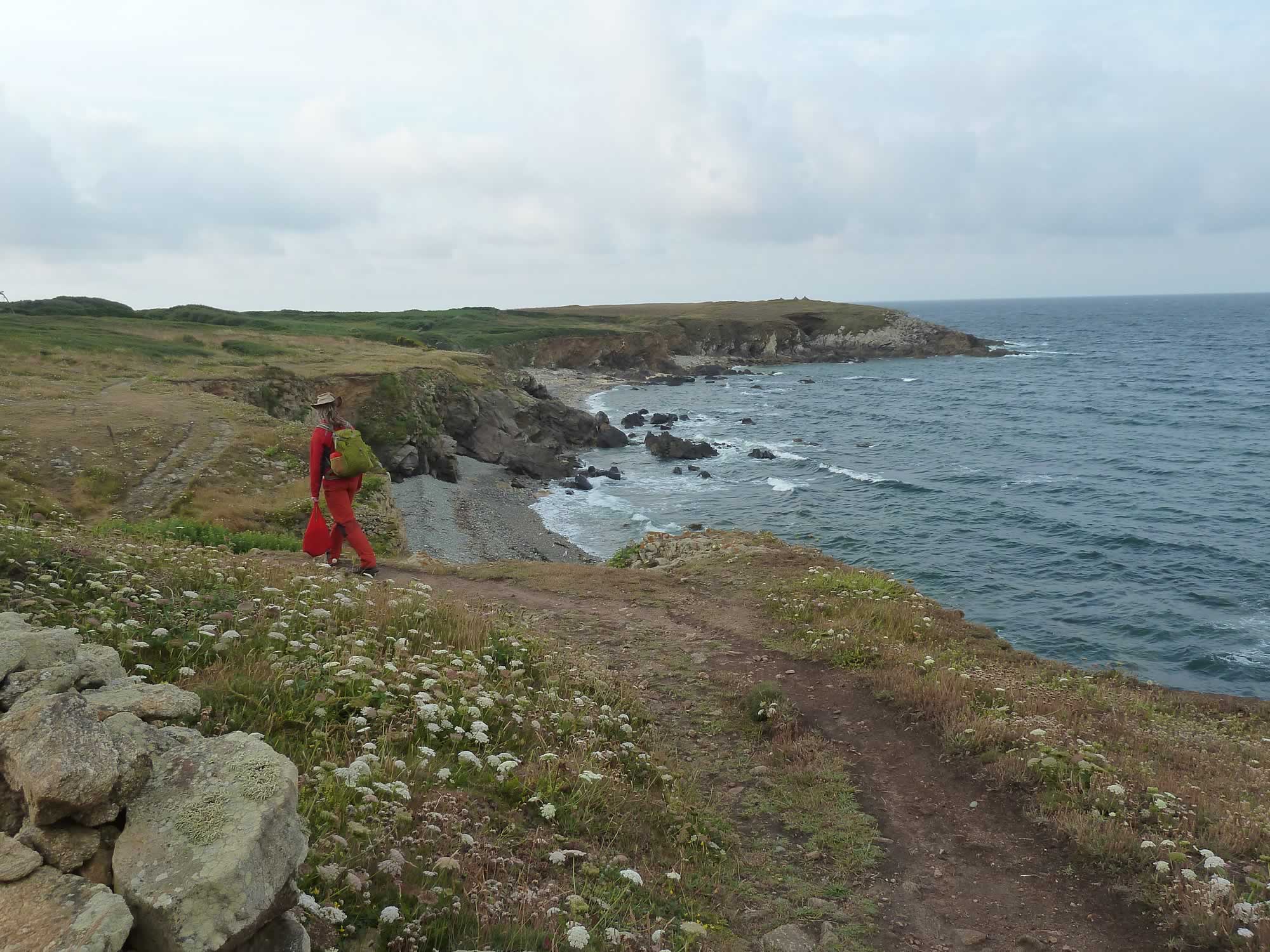
The day before we’d bought sliced cheese and ham, and some promising crêpes. Simon carried them while I took pictures of the Breton landscape.
8.18 – Simon running away with our tasty breakfast
Soon, a convenient bench appeared on the path, and we sat down for breakfast.
The view was awesome, so even the sliced cheese tasted yummy.
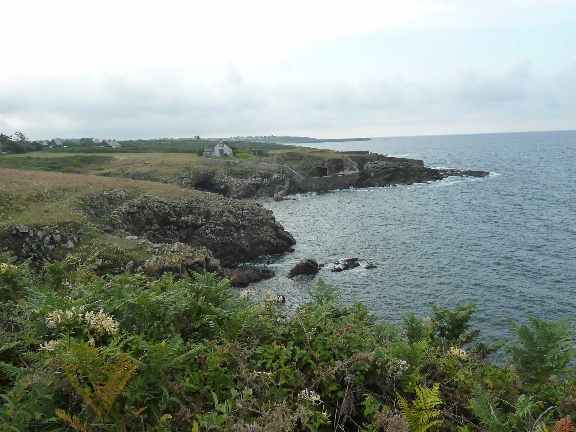
Arriving at Pors Tarz
9.03 – Pors Tarz & its 19th century wall
We pressed on and arrived at a small port called Pors Tarz, a most interesting place with one of those impressive walls you often see in Brittany.
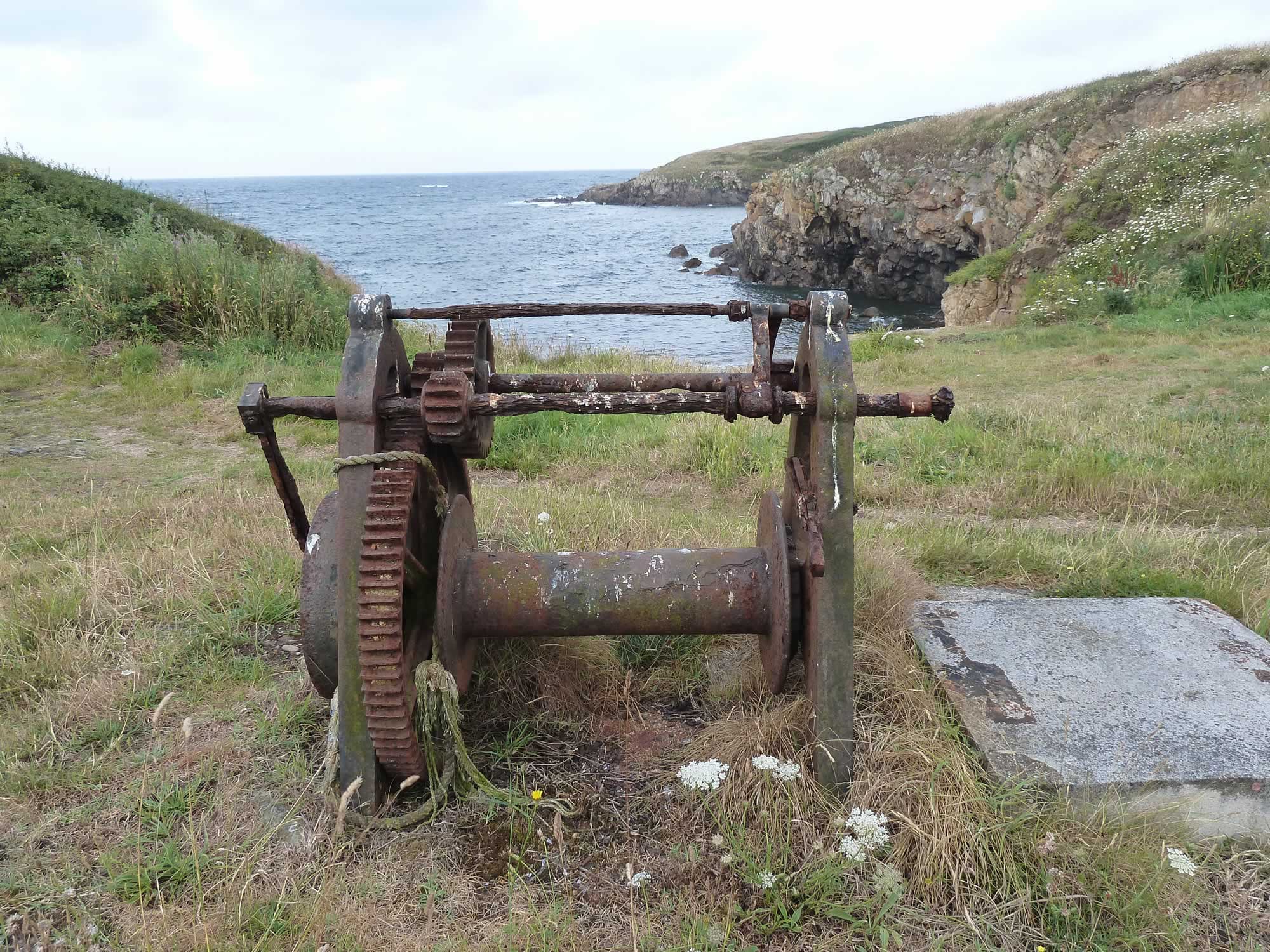
I don’t remember seeing a winch before. A winch is an ingenuous device for pulling small boats out of the water, mostly fishing boats.
9.07 – A winch to help boats land
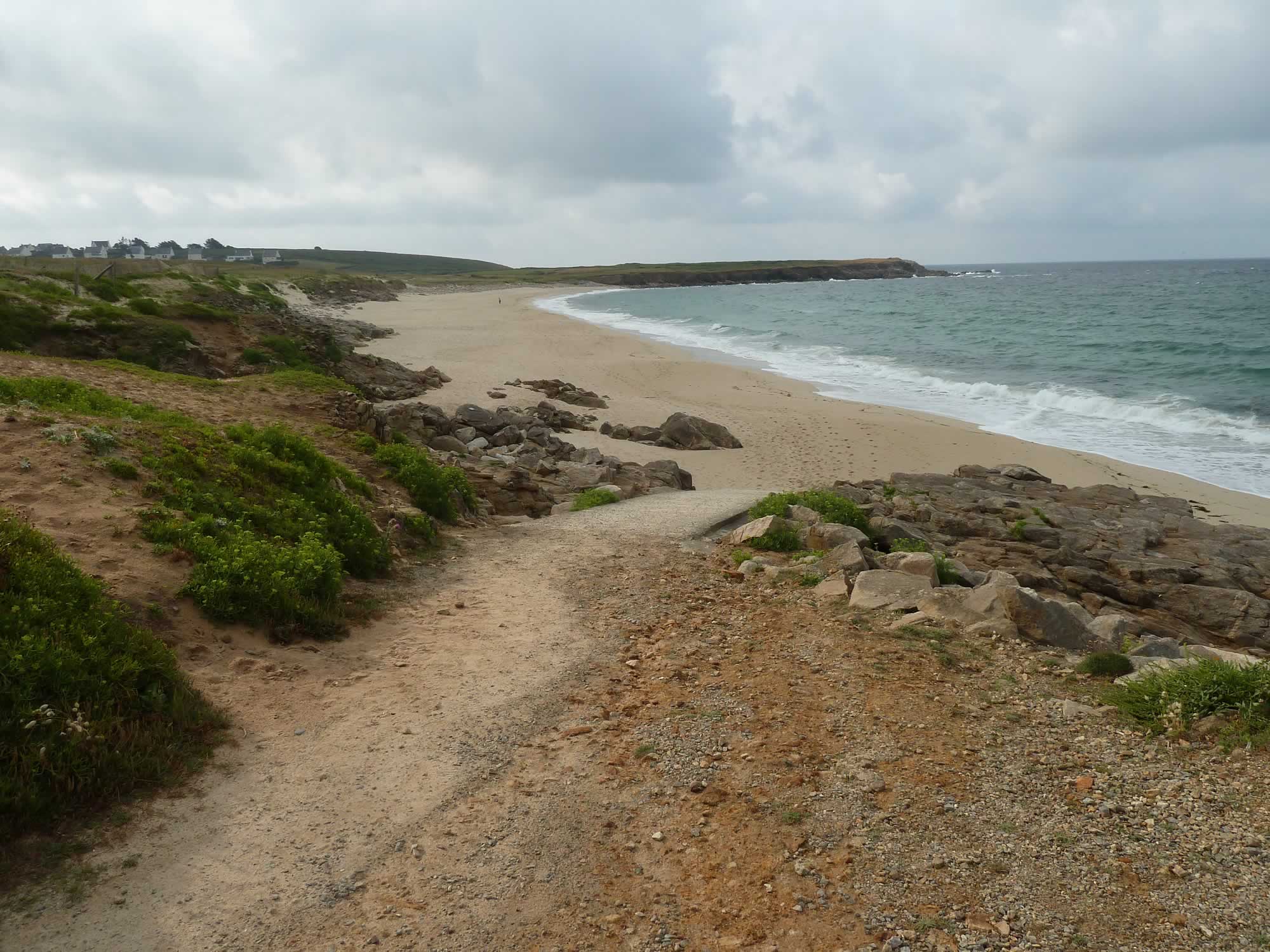
We kept on the GR34 and soon arrived at another idyllic beach: Anse du Cabestan.
There were a couple of people in the distance, and no one else.
9.38 – Anse du Cabestan, near Trez Goarem
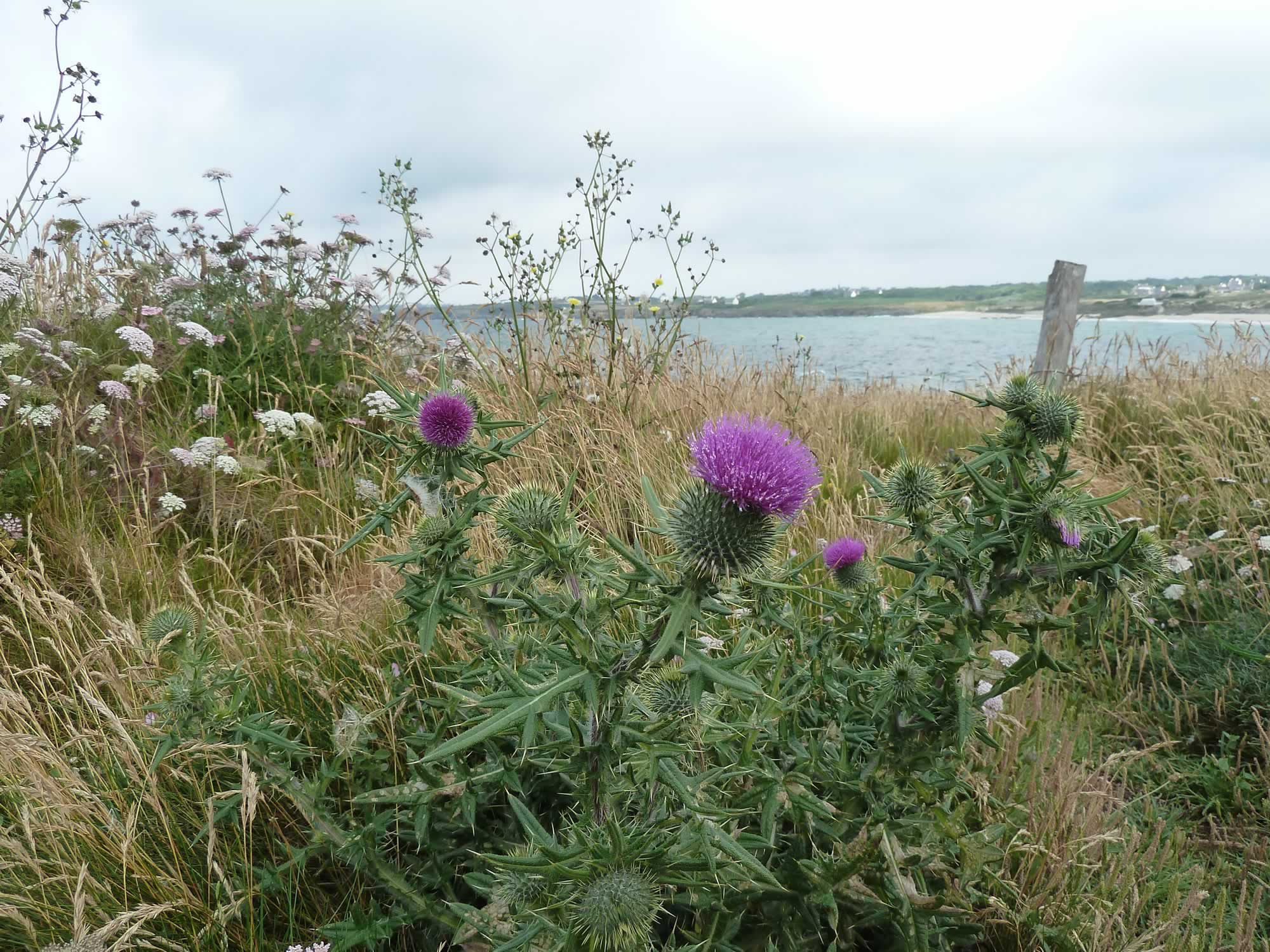
In many ways, we found Brittany surprisingly similar to Scotland.
It wasn’t only the wonderfully impenetrable language and the friendly people, but also the landscape, and the gorgeous thistles.
A few weeks later, in Shetland, the similarities would be even more striking with those endless cliffs.
9.55 – Some familiar thistles
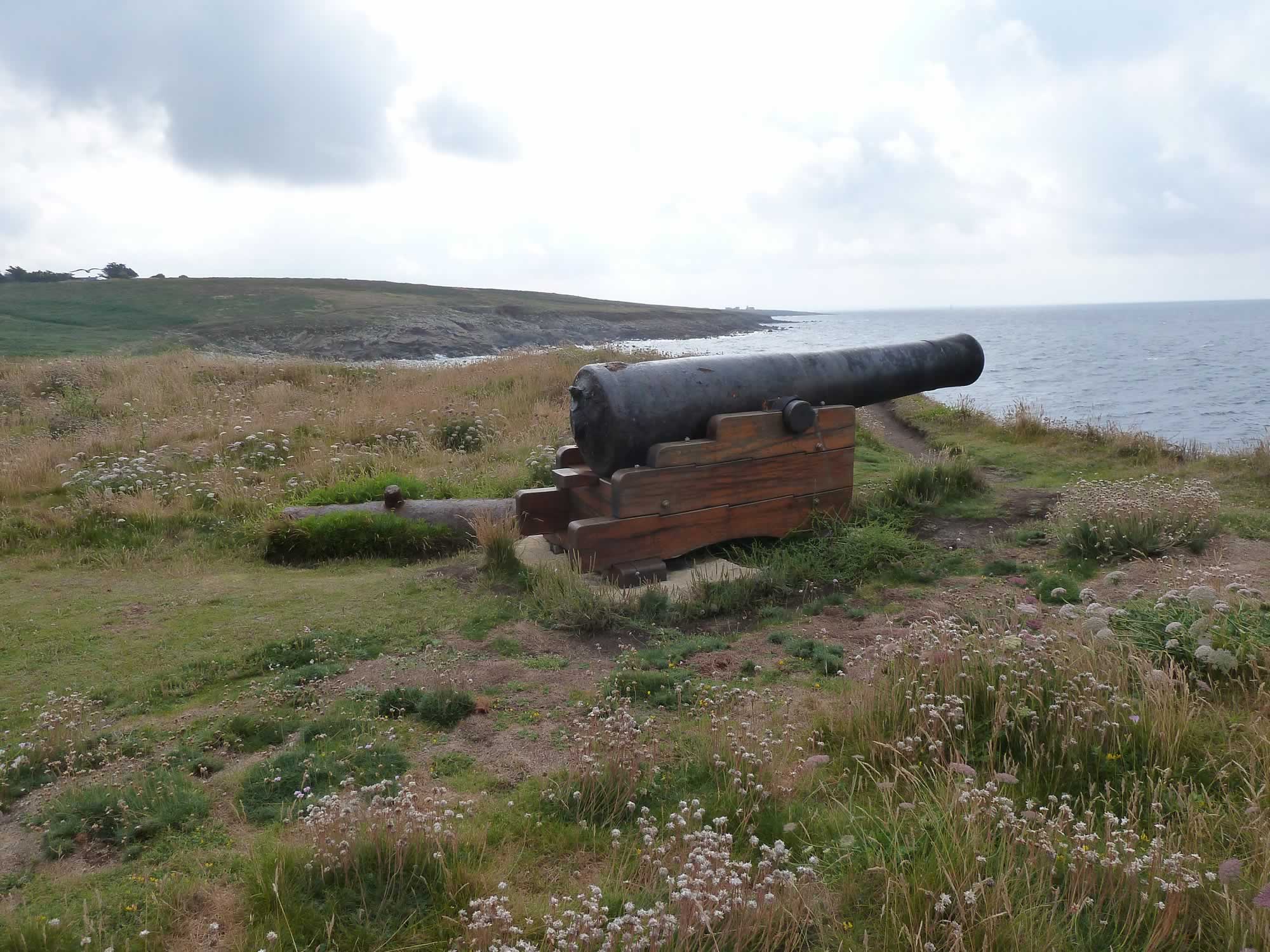
Some cool cannons
The Pen An Enez cannons date back to the 18th century. Today, only a couple remain, but you get an idea of what they’d have looked like at war.
10.00 – The Pen an Enez battery of cannons
After admiring the cannons, we continued on the GR34 until we got to the Pointe de Lervily. There, we headed inland.
We walked through several villages, never too far from the coast.
10.54 – Houses near the Sainte Evette beach
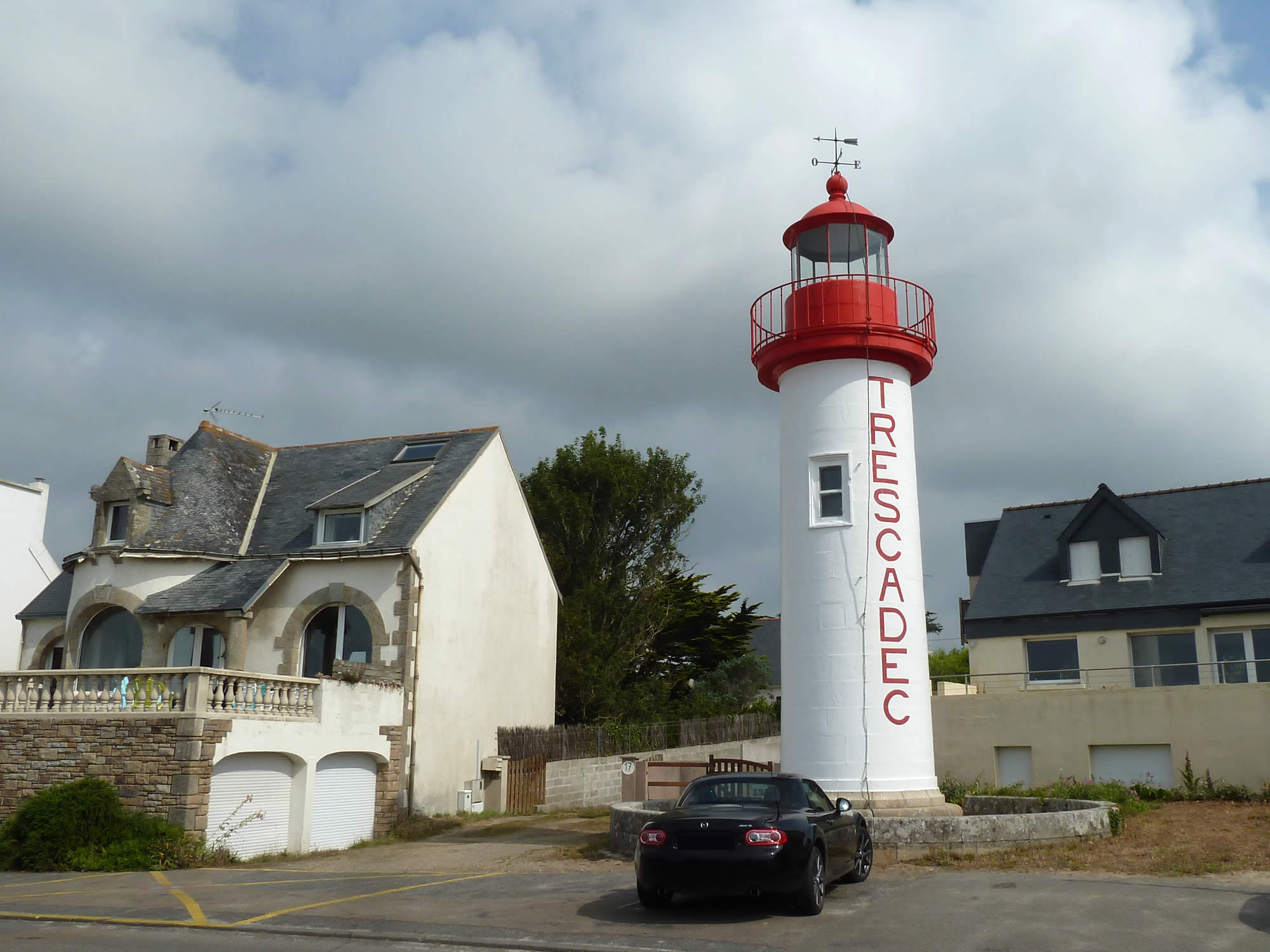
Then we rejoined the GR34 and got to the village of Trescadec. Lighthouses don’t get much cuter than this.
11.16 – Lighthouse in the village of Trescadec
Audierne, the end of our walk
We got to Audierne earlier than we’d planned. The first thing we did was to head for the tourist office to get the times for our bus to Quimper.
Audierne is the largest town in the area, with a population of about 3,700 people. Its Breton name is: Gwaien.
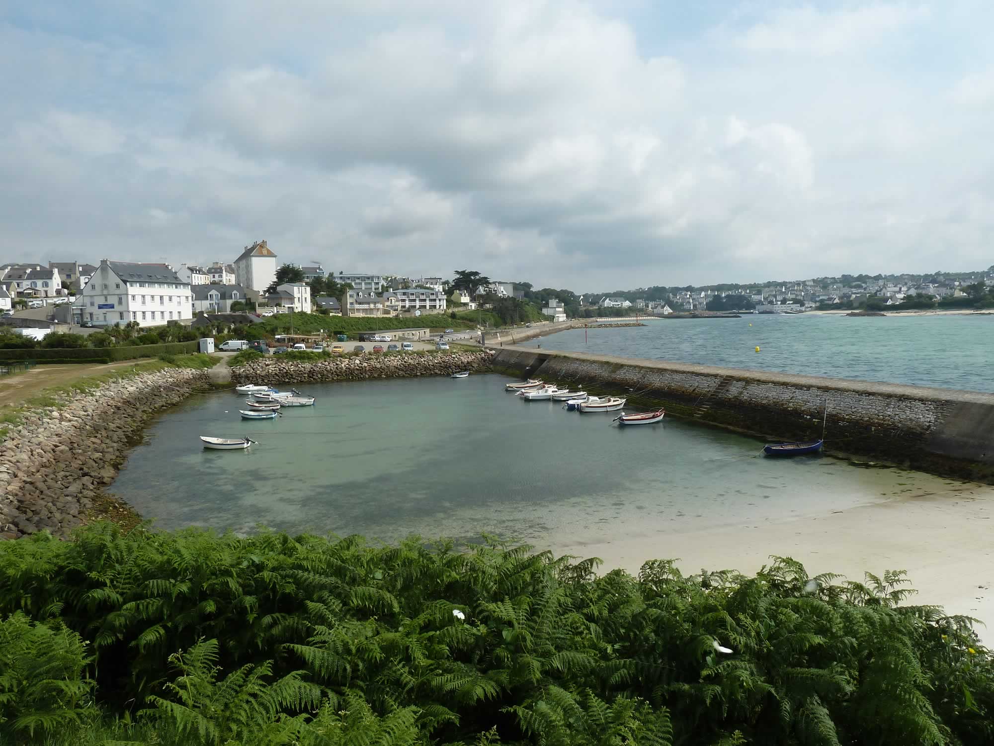
11.27 – Arriving in Audierne
Reading about Audierne I’ve learned another interesting fact. On 23 August 1944 the battle of Audierne Bay took place here. The victorious allies sank eight German vessels, and that put an end to Operation Kinetic.
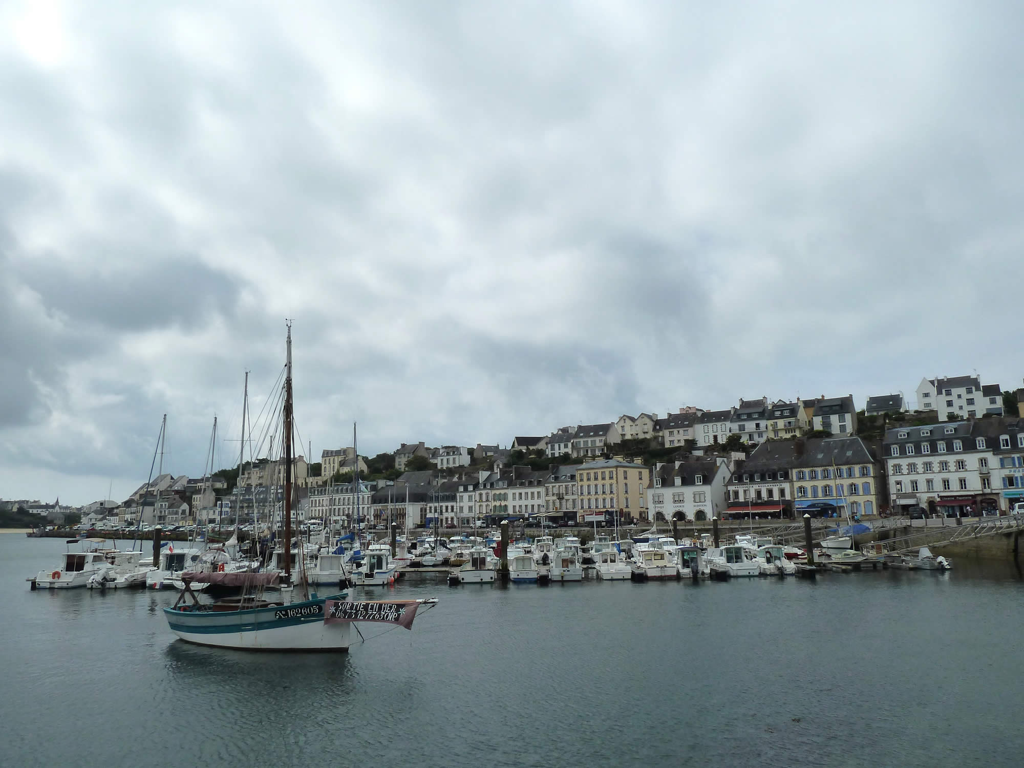
What in the past was a fishing village has been transformed, and little remains of its fishing industry. Today, Audierne is primarily a yacht port, and a most elegant spot.
12.05 – Audierne port & town
We had some time to kill before our bus, so we sat in an outdoor cafe and watched the pretty boats, the hungry gulls, and people strolling about.
Then, we jumped on the bus 53, and got to Quimper in less than an hour.
I took all the photos with the Panasonic.
